
Mountains & hills · South West England
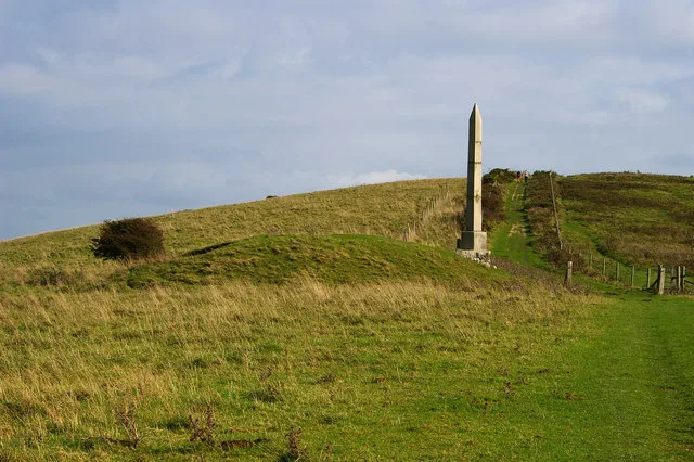
Broomfield Hill
In or near Cothelstone.
Broomfield Hill — mountain in england south west. Elevation: 290 m.

thejackrustles — CC BY-SA 2.0 via Wikimedia Commons licence

Plan your visit
- Typical visit
- 3 h–8 h
- Best time of year
- Late spring – early autumn (May–Oct)
- Nearest railway station
- Bishops Lydeard · 6.6 km
- Dog-friendly
About
Broomfield Hill is a mountain located in england south west. Elevation: 290 m. A named British peak recorded in OpenStreetMap. Peaks are typically named on Ordnance Survey 1:50k mapping.
Photo gallery
Protected designations
- National Nature Reserve: SOMERSET WETLANDS
- Area of Outstanding Natural Beauty: Quantock Hills
Designations sourced from Natural England open data under OGL v3.
Place summary
Broomfield Hill is a mountain located in South-West England. It offers a variety of outdoor activities for visitors, including walking and climbing. The surrounding area is characterised by its natural beauty, making it suitable for those seeking a peaceful retreat or an active day in the hills. The terrain provides opportunities for exploration and appreciation of the local flora and fauna.
AI-generated from the structured facts on this page (operator, designation, listing, era). Not a substitute for visiting.
- Coordinates
- 51.0926, -3.1217
- District
- Somerset
- Parish
- Spaxton
- Postcode
- TA5 1AZ
- Parliamentary constituency
- Bridgwater
- Nearest railway station
- Bishops Lydeard — 6.6 km
Sources
- osm: n2031874605 (ODbL)
Other places nearby
Broomfield Hill
Mountains & hills · 0.1 km

Holwell Cave
Caves · 0.9 km

Broomfield Camp
Vineyards · 1.1 km

Fyne Court Folly
Follies · 1.2 km

Ruborough Camp
Archaeological sites · 1.3 km

Ruborough Camp
Archaeological sites · 1.3 km

Broomfield, Somerset
Museums · 1.4 km

Christopher Gardener Monument In Churchyard, About 20 Metres West Of Tower, Church Of St Mary And All Saints
Memorials & monuments · 1.4 km
Andrew Crosse Monument In Churchyard, About 21 Metres North East Of North Aisle, Church Of St Mary And All Saints
Memorials & monuments · 1.5 km
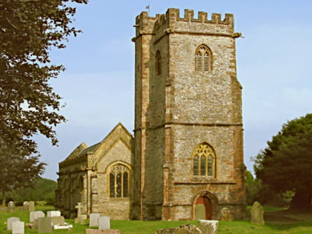
Church of St Mary & All Saints
Historic churches · 1.5 km
Broomfield War Memorial
Memorials & monuments · 1.5 km

Gib Hill
Mountains & hills · 2.1 km
Nearby
📷 5Mountains & hills · South West England
Broomfield Hill
Broomfield Hill — a hill or mountain in england south west.
📷 5📷 5Vineyards · South West England
Broomfield Camp
Broomfield Camp — a UK vineyard in england south west, producing English or Welsh wine from cool-climate grape varieties.
📷 5📷 5Archaeological sites · South West England
Ruborough Camp
Ruborough Camp — an archaeological site in South West England, United Kingdom.
📷 5Archaeological sites · South West England
Ruborough Camp
Ruborough Camp — archaeological in england south west.
Where to eat & stay near Broomfield Hill
Places to stay
 📷 5
Campsites · South West England
Secret Valley
Secret Valley — a campsite in england south west.
📷 5📷 5Campsites · South West England
Secret Valley Bell Tents
Secret Valley Bell Tents — a campsite in england south west.
 📷 5
Campsites · South West England
Huntstile organic farm
Huntstile organic farm — a campsite in england south west.
 📷 5
 📷 5
B&Bs · South West England
West View Bed & Breakfast
West View Bed & Breakfast — a bed-and-breakfast in england south west.
Places to eat & drink
 📷 5
 📷 3
Historic pubs · South West England
The Farmers Arms
The Farmers Arms — Historic pub — listed building or notable heritage status.
 📷 3
Historic pubs · South West England
The Chapel
The Chapel — Historic pub — listed building or notable heritage status.
 📷 7
Historic pubs · South West England
The Wheel Tapper Public House
The Wheel Tapper Public House in England South West, United Kingdom.
 📷 7
Historic pubs · South West England
Quantock Gateway Hotel
Quantock Gateway Hotel in England South West, United Kingdom.
 📷 5
Historic pubs · South West England
The Carew Arms And Attached Outbuilding
The Carew Arms And Attached Outbuilding in England South West, United Kingdom.
More mountains in this region
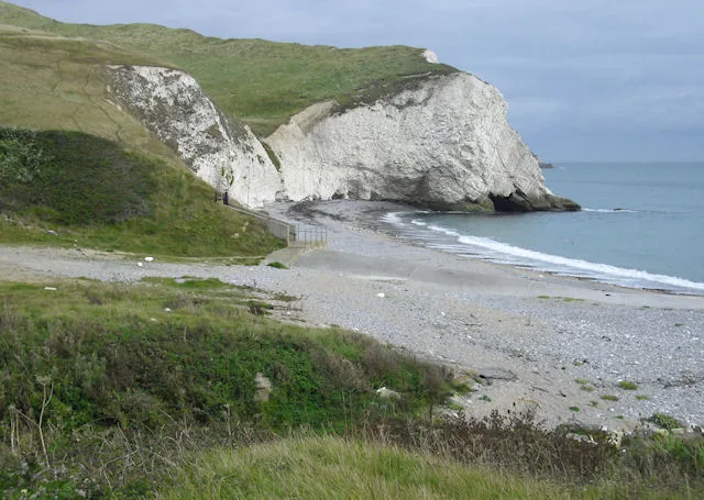 📷 5
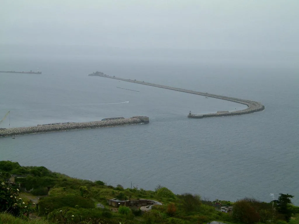 📷 5
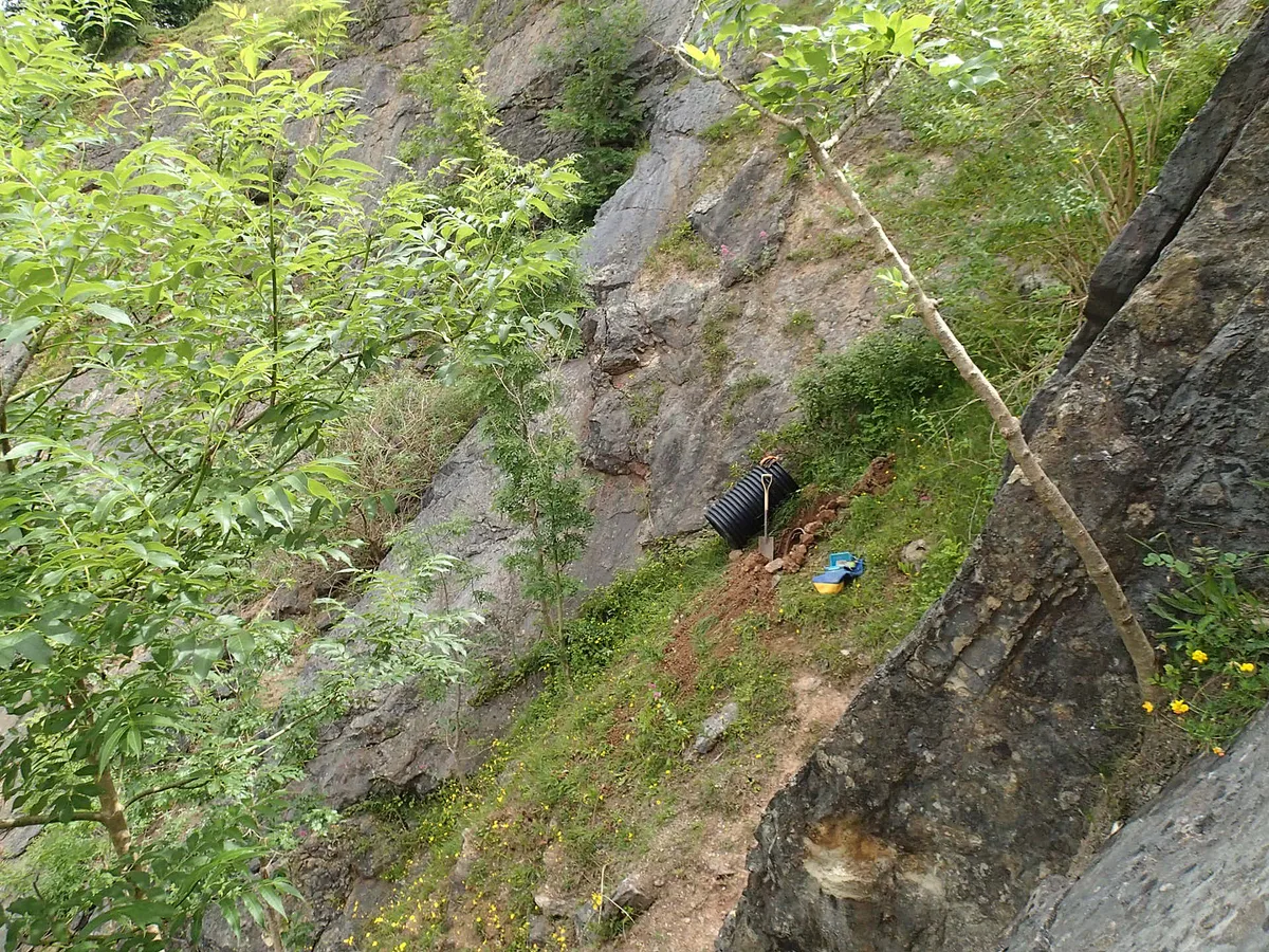 📷 5
 📷 5
Frequently asked questions
- Where is Broomfield Hill?
- Broomfield Hill is in South-West England, United Kingdom (postcode TA5 1AZ), in the parish of Spaxton.
- What is Broomfield Hill?
- Broomfield Hill — mountain in england south west. Elevation: 290 m.
- How do I get to Broomfield Hill?
- The nearest railway station is Bishops Lydeard, about 6.6 km away. The nearest town is Cothelstone. Drivers can use postcode TA5 1AZ.
- Is Broomfield Hill a protected site?
- Yes — Broomfield Hill is part of the SOMERSET WETLANDS National Nature Reserve and the Quantock Hills National Landscape (AONB).
- How do I get to Broomfield Hill?
- The nearest railway station is Bishops Lydeard, about 6.6 km away. Drivers can navigate to postcode TA5 1AZ.