
Archaeological sites · East of England
Bronze Palstrave Found AD 1952
In or near Bramerton.
Bronze Palstrave Found AD 1952 — a archaeological in england-east, United Kingdom.

Glen Denny — CC BY-SA 2.0 via Wikimedia Commons licence

Plan your visit
- Typical visit
- 45 min–1.5 h
- Nearest railway station
- Buckenham · 2.3 km
- Free entry
- Dog-friendly
About
Bronze Palstrave Found AD 1952 is a archaeological located in england-east, United Kingdom. Sourced from OpenStreetMap (ODbL licence); see local listings for visitor information, opening hours and admission details.
Photo gallery
Protected designations
- Site of Special Scientific Interest: Yare Broads and Marshes SSSI
- National Nature Reserve: MID-YARE
- Ramsar wetland: Broadland
Designations sourced from Natural England open data under OGL v3.
Place summary
Bronze Palstrave Found AD 1952 is an archaeological site located in the East of England. It is notable for the discovery of Bronze Age artefacts, providing insight into the period's material culture. This site contributes to the understanding of early human activity in the region.
AI-generated from the structured facts on this page (operator, designation, listing, era). Not a substitute for visiting.
- Coordinates
- 52.5896, 1.4392
- County
- Norfolk
- District
- South Norfolk
- Parish
- Rockland St. Mary
- Postcode
- NR14 7HS
- Parliamentary constituency
- South Norfolk
- Nearest railway station
- Buckenham — 2.3 km
Sources
- osm: node/9817496532 (ODbL)
Other places nearby

Claxton Manor
Manor houses · 1.0 km
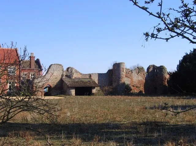
Claxton Castle
Castles · 1.0 km

Arrowhead Found AD 1949
Archaeological sites · 1.2 km

Farmer Pyke's Forgotten Railway 1926-1936
Memorials & monuments · 1.5 km

Claxton Village Sign
Public art & sculpture · 1.7 km

Saint Margaret
Historic houses · 2.0 km

Rockland St Mary Village Sign
Public art & sculpture · 2.1 km
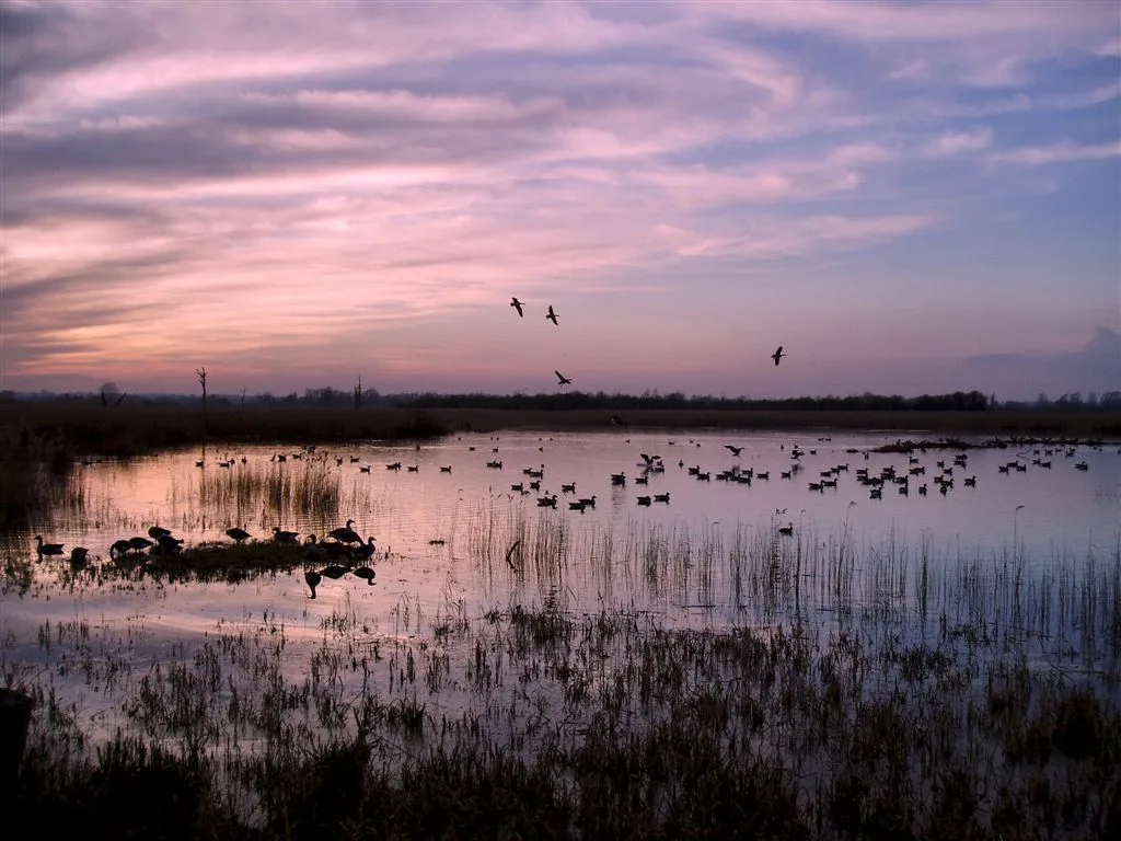
Strumpshaw Fen RSPB reserve
Wildlife reserves · 2.2 km
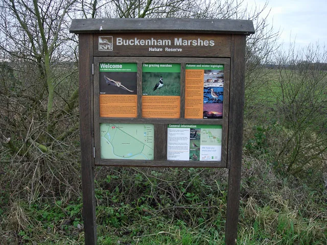
Buckenham Marshes RSPB reserve
Wildlife reserves · 2.3 km

Buckenham Ferry Drainage Mill
Windmills · 2.3 km
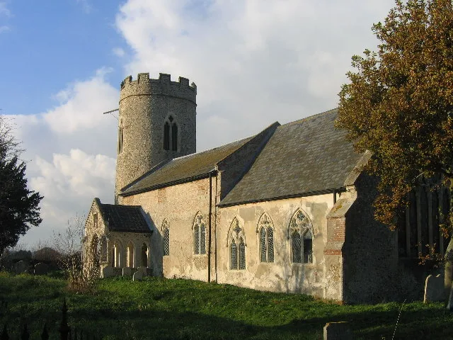
St John the Baptist's Church, Hellington
Historic churches · 2.3 km

Strumpshaw Steam Museum
Museums · 2.4 km
Nearby
📷 3Manor houses · East of England
Claxton Manor
Claxton Manor — Grade II listed building-listed manor in england-east, United Kingdom.
📷 3Castles · East of England
Claxton Castle
Claxton Castle — castle in Claxton, South Norfolk, England,UK.
📷 3Archaeological sites · East of England
Arrowhead Found AD 1949
Arrowhead Found AD 1949 — a archaeological in england-east, United Kingdom.
📷 3Memorials & monuments · East of England
Farmer Pyke's Forgotten Railway 1926-1936
Farmer Pyke's Forgotten Railway 1926-1936 is a memorial in the United Kingdom.
📷 3Public art & sculpture · East of England
Claxton Village Sign
Claxton Village Sign — a public art in england-east, United Kingdom.
📷 3Historic houses · East of England
Saint Margaret
Saint Margaret — a historic house in england-east, United Kingdom.
Where to eat & stay near Bronze Palstrave Found AD 1952
Places to stay
 📷 5
📷 5Campsites · East of England
Strumpshaw Steam Museum
Strumpshaw Steam Museum — a campsite in england east.
 📷 5
📷 5 📷 5
📷 5 📷 5
📷 5Caravan parks · East of England
The Reedcutter Caravan and Motorhome Club
The Reedcutter Caravan and Motorhome Club — a caravan park in england east.
 📷 5
📷 5 📷 5
📷 5Places to eat & drink
 📷 5
📷 5 📷 5
📷 5 📷 5
📷 5Restaurants · East of England
The Town House
The Town House — a restaurant in england east. Brand: Stonehouse Pizza and Carvery.
 📷 5
📷 5Historic pubs · East of England
The Top House Public House, Including Boundary Wall To Yard
The Top House Public House, Including Boundary Wall To Yard in England East, United Kingdom.
 📷 5
📷 5 📷 5
📷 5Historic pubs · East of England
The Ferry Boat Inn
The Ferry Boat Inn in England East, United Kingdom.
More archaeological sites in this region
 Flagship📷 10
Archaeological sites · East of England
Nunn Wood
Nunn Wood — woods in Essex, England, a Site of Special Scientific Interest.
 📷 5
📷 5Archaeological sites · East of England
A Bronze Age post alignment and timber platform at Flag Fen and associated Bronze Age and later field systems and settlement to
A Bronze Age post alignment and timber platform at Flag Fen and associated Bronze Age and later field systems and settlement to — archaeological site in Thorney, City of Peterborough, England, UK.
 📷 5
📷 5Archaeological sites · East of England
Causewayed enclosure 900m west of Great Wilbraham parish church
Causewayed enclosure 900m west of Great Wilbraham parish church — archaeological site in Great Wilbraham, South Cambridgeshire, England, UK.
 📷 5
📷 5Archaeological sites · East of England
Dray's Ditches
Dray's Ditches — archaeological site in Streatley, Central Bedfordshire, England, UK.
Frequently asked questions
- Where is Bronze Palstrave Found AD 1952?
- Bronze Palstrave Found AD 1952 is in Norfolk, East of England, United Kingdom (postcode NR14 7HS), in the parish of Rockland St. Mary.
- What is Bronze Palstrave Found AD 1952?
- Bronze Palstrave Found AD 1952 — a archaeological in england-east, United Kingdom.
- How do I get to Bronze Palstrave Found AD 1952?
- The nearest railway station is Buckenham, about 2.3 km away. Drivers can use postcode NR14 7HS.
- Is Bronze Palstrave Found AD 1952 a protected site?
- Yes — Bronze Palstrave Found AD 1952 is part of the Yare Broads and Marshes SSSI Site of Special Scientific Interest and the MID-YARE National Nature Reserve.
- Is Bronze Palstrave Found AD 1952 free to visit?
- Yes, Bronze Palstrave Found AD 1952 is free to enter.
- How do I get to Bronze Palstrave Found AD 1952?
- The nearest railway station is Buckenham, about 2.3 km away. Drivers can navigate to postcode NR14 7HS.