Mountains & hills · North West England
Brim Fell
Brim Fell — Named summit at 795.9 m.

Wikimedia Commons contributors — see linked file page for photographer and licence licence
Plan your visit
- Typical visit
- 3 h–8 h
- Best time of year
- Late spring – early autumn (May–Oct)
- Nearest railway station
- Dalegarth · 10.0 km
- Free entry
- Dog-friendly
About
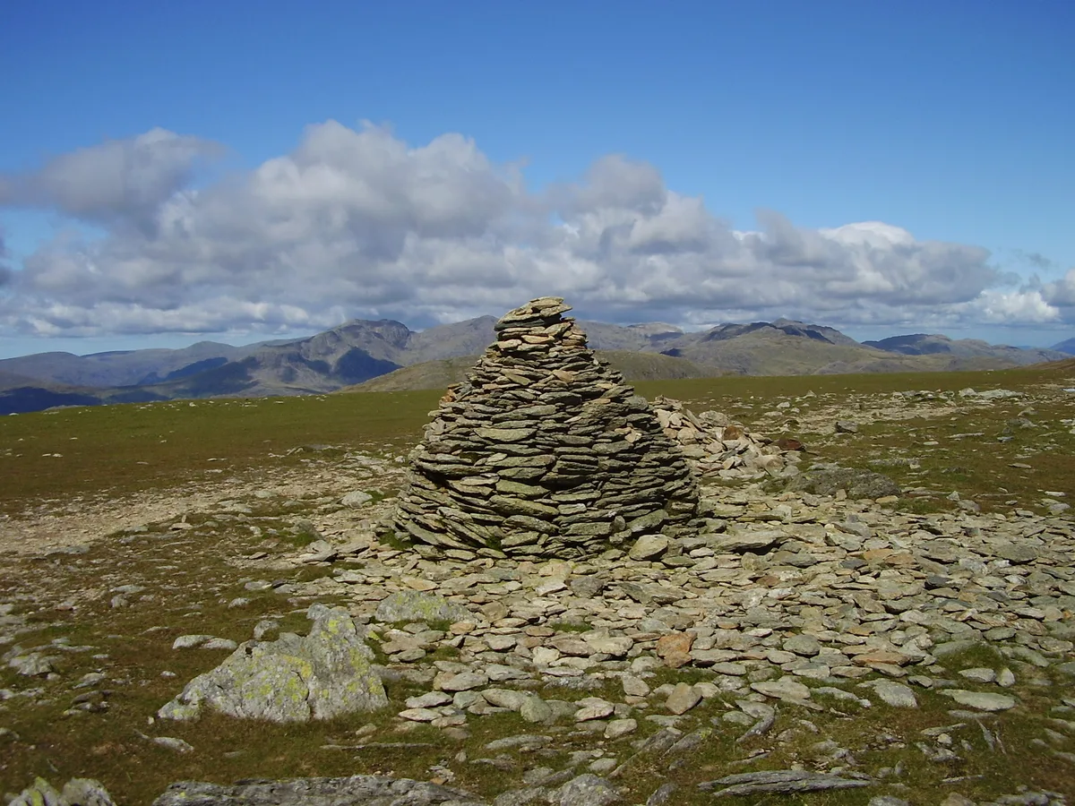
Brim Fell is a named summit in the United Kingdom. Wikidata describes it as: "Named summit at 795.9 m.". Coordinates: 54.3773°, -3.1242°.
Photo gallery
From the Wikipedia article
Brim Fell is a fell in the English Lake District. It stands to the west of Coniston village in the southern part of the District.
Excerpt from Wikipedia under CC BY-SA 4.0. See the source article linked in Sources below.
- Coordinates
- 54.3773, -3.1242
- District
- Westmorland and Furness
- Parish
- Coniston
- Postcode
- LA21 8HX
- Parliamentary constituency
- Westmorland and Lonsdale
- Nearest railway station
- Dalegarth — 10 km
Sources
- osm: n6810911420 (ODbL)
- wikipedia: Brim Fell (CC BY-SA 4.0)
- commons: Brim fell summit.jpg (CC BY-SA 4.0)
Other places nearby
Loading nearby places…
Nearby
 📷 3
📷 3Natural landmarks · North West England
Brim Fell
Brim Fell — mountain in United Kingdom.
 📷 3
📷 3Mountains & hills · North West England
Old Man of Coniston
Old Man of Coniston — Named summit at 802.4 m.
 📷 3
📷 3Natural landmarks · North West England
Goat's Water
Goat's Water — lake in the United Kingdom.
 📷 3
📷 3Mountains & hills · North West England
Dow Crag
Dow Crag — Named summit at 778 m.
Climbing & bouldering crags · North West England
Dow Crag
Dow Crag — a climbing crag in england north west.
 📷 3
📷 3Natural landmarks · North West England
Dow Crag
Dow Crag — mountain in United Kingdom.
More mountains in this region
 📷 3
📷 3Mountains & hills · North West England
Allen Crags
Allen Crags — Named summit at 785 m.
 📷 3
📷 3Mountains & hills · North West England
Alum Pot
Alum Pot — Open shaft pothole in North Yorkshire.
 📷 3
📷 3Mountains & hills · North West England
Arnside Knott
Arnside Knott — Named summit at 159 m.
 📷 3
📷 3Mountains & hills · North West England
Aye Gill Pike
Aye Gill Pike — Named summit at 556.3 m.
Frequently asked questions
- Where is Brim Fell?
- Brim Fell is in North-West England, United Kingdom (postcode LA21 8HX), in the parish of Coniston.
- Is Brim Fell free to visit?
- Yes, Brim Fell is free to enter.
- How do I get to Brim Fell?
- Drivers can navigate to postcode LA21 8HX. It sits within the Westmorland and Lonsdale parliamentary constituency.