
Hill forts · North East England
Bremenium
In or near Rochester.
Bremenium — Roman fort in Northumberland, England, UK.

Wikimedia Commons contributors — see linked file page for photographer and licence licence

Plan your visit
- Typical visit
- 1 h–2 h
- Free entry
- Dog-friendly
About
Bremenium is a hill fort in the United Kingdom. Heritage designation: scheduled monument. Part of Hadrian's Wall. Wikidata describes it as: "Roman fort in Northumberland, England, UK". Coordinates: 55.2814°, -2.2648°.
Photo gallery
See it from the streetimagery from 2019
Imagery © Mapillary contributors, CC BY-SA 4.0
Protected designations
- Site of Special Scientific Interest: Otterburn Mires SSSI
- Site of Special Scientific Interest: River Coquet and Coquet Valley Woodlands SSSI
Designations sourced from Natural England open data under OGL v3.
From the Wikipedia article
Bremenium (High Rochester) is an ancient Roman fort (castrum) located at Rochester, Northumberland, England. The fort is part of the defensive system built along the extension of Dere Street, a Roman road running from York to Corbridge and onwards to Melrose. Significantly the fort is a long way north of Hadrian's Wall. It was one of the last forts north of Hadrian's Wall to remain occupied until the 270s. The fort's name, Bremenium, is mentioned in the Ravenna Cosmography, the Antonine Itinerary and Ptolemy's Geographia. A separate Roman road ran eastwards from Bremenium to the Roman fort at Learchild, where it joined up with the Devil's Causeway Roman road to Berwick upon Tweed.
Excerpt from Wikipedia under CC BY-SA 4.0. See the source article linked in Sources below.
Background
History
In 79 AD Agricola moved against the Brigantes of northern England and the Selgovae along the southern coast of Scotland, using overwhelming military power to establish Roman control. He built a network of military roads and forts to secure the Roman occupation and Bremenium was built around 80 AD. Existing forts were strengthened and new ones planted in northeastern Scotland along the Highland Line, consolidating control of the glens that provided access to and from the Scottish Highlands. The line of military communication and supply across southeastern Scotland and northeastern England was Dere Street (on which Bremenium was located) which was well-fortified. After Agricola was recalled…
Description
The fort is 8+1/2 miles north of Risingham (Roman name Habitancum), the next fort on Dere Street and less than a day's marching distance away. The name Bremenium means 'The Place of the Roaring Stream'. The site is in a strong position, occupying the end of a ridge with the ground falling away steeply to the north and west, and giving a clear view over the Rede Valley and beyond. Defensive ditches can still be seen to the north and east, outside which Dere Street passes. Early temporary marching camps at Redesdale are visible across the Sills Burn from the fort. The fort is oblong in shape, and measures 485 ft north to south and 445 ft east to west, giving and area of just over 5 acre.…
Sourced from Wikipedia under CC BY-SA 4.0.
- Coordinates
- 55.2814, -2.2648
- District
- Northumberland
- Parish
- Rochester
- Postcode
- NE19 1RB
- Parliamentary constituency
- Hexham
Sources
- wikidata: Q4960549 (CC0)
- wikipedia: Bremenium (CC BY-SA 4.0)
- commons: Kastellecke Rochester.png (CC BY-SA 4.0)
Other places nearby

Rochester
Towns & cities · 0.3 km

Redefest Site (Former Brigantium Site)
Natural landmarks · 0.6 km

Birdhope Camps
Archaeological sites · 0.6 km

Bremenium Roman tumulus
Burial mounds & barrows · 0.7 km

Bremenium Roman tumulus
Archaeological sites · 0.7 km

Rochester War Memorial
Memorials & monuments · 0.8 km

Evistones
Vineyards · 1.8 km

The Redesdale Arms
Historic pubs · 2.1 km

A68 road
Other places · 3.2 km

Durtrees Burn Grassland
Wildlife reserves · 3.7 km
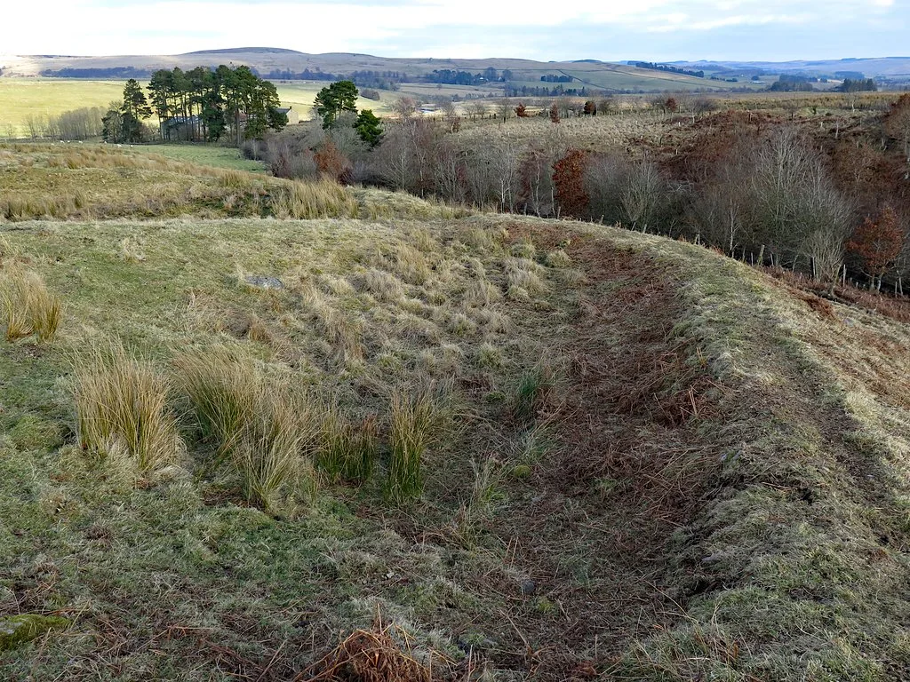
Romano-British farmstead 330m west of Rattenraw Farm
Archaeological sites · 3.8 km

Blakehope Roman Fort
Archaeological sites · 4.8 km
Nearby
📷 3📷 3Natural landmarks · North East England
Redefest Site (Former Brigantium Site)
Redefest Site (Former Brigantium Site) — a other in scotland-lowlands, United Kingdom.
📷 3Archaeological sites · North East England
Birdhope Camps
Birdhope Camps — a archaeological in scotland-lowlands, United Kingdom.
📷 3Burial mounds & barrows · North East England
Bremenium Roman tumulus
Bremenium Roman tumulus — a burial mound in scotland-lowlands, United Kingdom.
📷 5Archaeological sites · North East England
Bremenium Roman tumulus
Bremenium Roman tumulus — archaeological in scotland lowlands.
📷 3Memorials & monuments · North East England
Rochester War Memorial
Rochester War Memorial — Grade II listed building-listed memorial in scotland-lowlands, United Kingdom.
Where to eat & stay near Bremenium
Places to stay
 📷 5
📷 5Caravan parks · North East England
Border Forest Caravan Park
Border Forest Caravan Park — a caravan park in scotland lowlands.
 📷 5
📷 5Hotels · North East England
William de Percy
William de Percy — a hotel in scotland lowlands.
 📷 5
📷 5 📷 5
📷 5Hostels · North East England
Tarset Tor bunkhouse
Tarset Tor bunkhouse — a hostel in scotland lowlands.
 📷 5
📷 5 📷 5
📷 5Campsites · North East England
Firing Point - Farm
Firing Point - Farm — a campsite in scotland lowlands.
Places to eat & drink
📷 5Historic pubs · North East England
The Redesdale Arms
The Redesdale Arms in Scotland Lowlands, United Kingdom.
 📷 7
📷 7More places in this region
 📷 3
📷 3Hill forts · North East England
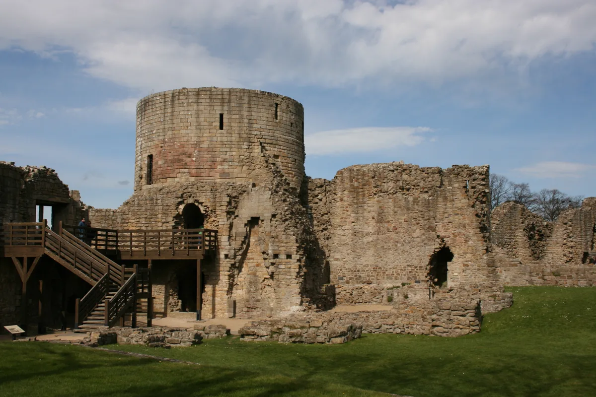
Barnard Castle
Barnard Castle is a hill fort in the United Kingdom.
 📷 3
📷 3Hill forts · North East England
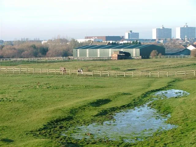
Stainsby
Stainsby — abandoned village in North Yorkshire, England, UK.
 📷 4
📷 4Hill forts · North East England
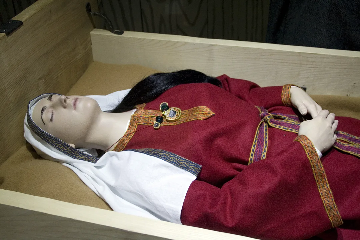
Street House Anglo-Saxon cemetery
Street House Anglo-Saxon cemetery — cemetery in North Yorkshire, England.
 📷 3
📷 3Hill forts · North East England
Pittington Hill
Pittington Hill in England North East, United Kingdom.
Frequently asked questions
- Where is Bremenium?
- Bremenium is in the Scottish Lowlands, United Kingdom (postcode NE19 1RB), in the parish of Rochester.
- What is Bremenium?
- Bremenium — Roman fort in Northumberland, England, UK.
- How do I get to Bremenium?
- Drivers can use postcode NE19 1RB.
- Is Bremenium a listed building?
- Bremenium is officially recognised as scheduled monument listed.
- Is Bremenium a protected site?
- Yes — Bremenium is part of the Otterburn Mires SSSI Site of Special Scientific Interest and the River Coquet and Coquet Valley Woodlands SSSI Site of Special Scientific Interest.
- Is Bremenium free to visit?
- Yes, Bremenium is free to enter.
- How do I get to Bremenium?
- Drivers can navigate to postcode NE19 1RB. It sits within the Hexham parliamentary constituency.