
Islands · Scottish Highlands
Bradastac
Bradastac — islet in the United Kingdom.

Wikimedia Commons contributors — see linked file page for photographer and licence licence

Plan your visit
- Typical visit
- 4 h–12 h
- Free entry
- Dog-friendly
About
Bradastac is a island in the United Kingdom. Wikidata describes it as: "islet in the United Kingdom". Coordinates: 57.8245°, -8.5817°.
Photo gallery
From the Wikipedia article
Bradastac (Scottish Gaelic: "Steep stack") is a sea stack in the St Kilda archipelago, Outer Hebrides, Scotland. It is just north of Hirta and has a height of 63 meters. The stack's name means "Steep stack" from Old Norse: bratti-stakkr.
Excerpt from Wikipedia under CC BY-SA 4.0. See the source article linked in Sources below.
Background
History
archipelago]] The stack has never been inhabited but has contributed to the local economy by supplying the St Kildans with sea birds and their eggs. In the 19th century the St Kildans were observed collecting eggs from stacks in baskets like flat-bottomed bee hives, each of 17 baskets holding about 400 guillemot eggs. Bradastac was specifically used by St. Kildans to collect fulmars and their eggs. To do this St. Kildans would lower themselves on ropes over the cliffs of Conachair, the highest point of Hirta and the archipelago. They would then abseil down the cliffs and onto Bradastac, collecting fulmars and their eggs as they went, which they then brought back up the cliffs in baskets.
Sourced from Wikipedia under CC BY-SA 4.0.
- Coordinates
- 57.8245, -8.5817
- Address
- St Kilda
Sources
- wikidata: Q60851389 (CC0)
- wikipedia: Bradastac (CC BY-SA 4.0)
- commons: Bradastac.jpg (CC BY-SA 4.0)
Other places nearby
Loading nearby places…
Nearby
 📷 3
📷 3Mountains & hills · Scottish Highlands
Conachair
Conachair — a mountain in scotland-highlands, United Kingdom.
 📷 3
📷 3Archaeological sites · Scottish Highlands
Amazon's House
Amazon's House — a archaeological in scotland-highlands, United Kingdom.
 Flagship📷 3
Islands · Scottish Highlands
Hirta
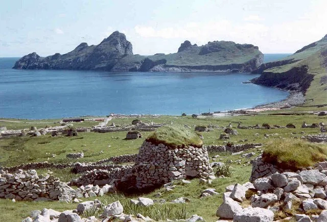
Hirta — main island of the St Kilda archipelago, Outer Hebrides, Scotland, UK.
 Flagship📷 5
UNESCO World Heritage · Scottish Highlands
St Kilda
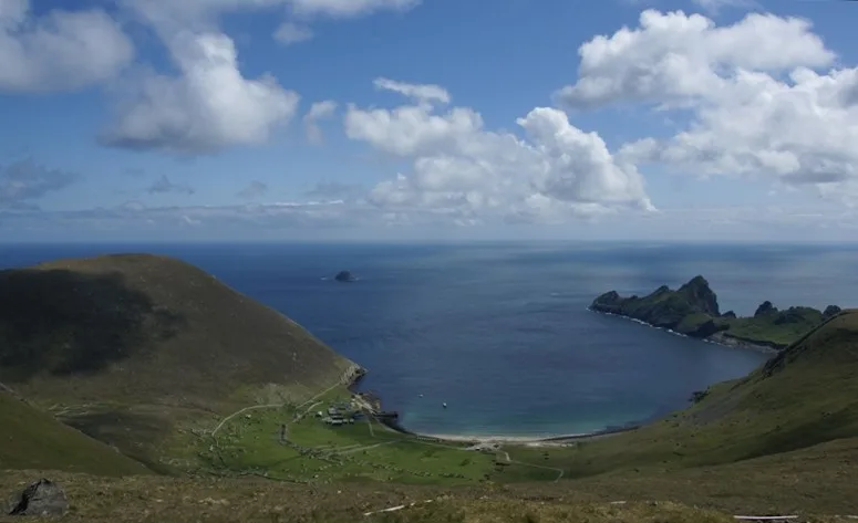
St Kilda — archipelago in Outer Hebrides, Scotland, United Kingdom.
 📷 3
📷 3Mountains & hills · Scottish Highlands
Glen Bay
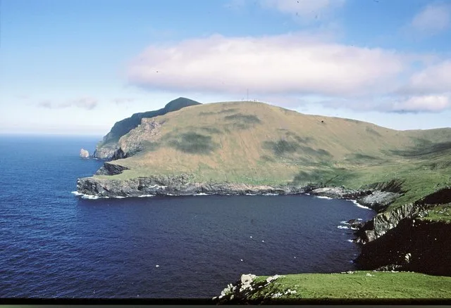
Glen Bay — bay on the north of Hirta, St Kilda, Outer Hebrides, Scotland, UK.
 📷 3
📷 3Archaeological sites · Scottish Highlands
Calum Mor's House
Calum Mor's House — a archaeological in scotland-highlands, United Kingdom.
More places in this region
 📷 5
📷 5Islands · Scottish Highlands
Bac Beag
Bac Beag — Scottish island, part of the Treshnish Isles in the Inner Hebrides.
 📷 5
📷 5Islands · Scottish Highlands
Bac Mòr
Bac Mòr — island in Argyll and Bute, Scotland, UK, one of the Treshnish Isles.
 Flagship📷 3
Islands · Scottish Highlands
Baleshare
Baleshare — flat tidal island in the Outer Hebrides, Scotland, UK.
 Flagship📷 5
Islands · Scottish Highlands
Barra
Barra — island in Outer Hebrides, Scotland, UK.
Frequently asked questions
- Where is Bradastac?
- Bradastac is in Scottish Highlands, in the United Kingdom — coordinates 57.8245°, -8.5817°.
- Is Bradastac free to visit?
- Yes — admission to Bradastac is free.