
Islands · Scottish Highlands
Hirta
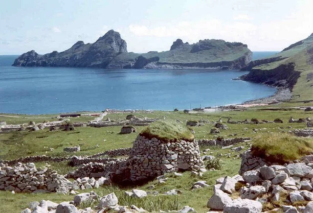
Hirta — main island of the St Kilda archipelago, Outer Hebrides, Scotland, UK.

Wikimedia Commons contributors — see linked file page for photographer and licence licence

Plan your visit
- Typical visit
- 4 h–12 h
- Free entry
- Family-friendly
- Dog-friendly
- Limited wheelchair access
About
Hirta is a island in the United Kingdom. It covers approximately 7 km². Owned by National Trust for Scotland. Managed by National Trust for Scotland. Part of St Kilda. Wikidata describes it as: "main island of the St Kilda archipelago, Outer Hebrides, Scotland, UK". Coordinates: 57.8148°, -8.5808°.
Photo gallery
From the Wikipedia article
Hirta (Scottish Gaelic: Hiort) is the largest island in the St Kilda archipelago, on the western edge of Scotland. The names Hiort (in Scottish Gaelic) and Hirta (historically in English) have also been applied to the entire archipelago. Now without a permanent resident population, the island had nearly all of St Kilda's population of about 180 residents in the late 17th century and 112 in 1851. It was abandoned in 1930 when the last 36 remaining inhabitants were evacuated to Lochaline on the mainland. The National Trust for Scotland owns the entire archipelago. It became one of Scotland's six World Heritage Sites in 1986 and is one of the few in the world to hold mixed status for both its natural and cultural qualities. Visits to the island are encouraged during months when the few facilities for tourists are open.
Excerpt from Wikipedia under CC BY-SA 4.0. See the source article linked in Sources below.
Background
History
The St Kilda islands were continuously populated from prehistoric times. Archeologists working at the archipelago between 2017 and 2019 confirmed habitation as long as 2,000 years ago. Finds included Iron Age pottery and some potsherds that might be from Bronze Age pottery. The director of the project told BBC News that the work "revealed that the eastern end of Village Bay on St Kilda was occupied fairly intensively during the Iron Age period, although no house structures were found". In more recent history, Hirta was inhabited until 29 August 1930, when the 36 inhabitants were removed to the Scottish mainland at their own request. St Kilda was part of the Lordship of the Isles, then a…
Visiting
Visits by tourists in summer became quite common starting in the 1870s when steamships and private yachts began arriving. A new pier was built in 1901, making it easier to land passengers from the larger craft, using rowboats. and the remnants of three old chapels, are readily visible. A tour operator's website states that when facilities in Hirta are open, "the St. Kilda museum, school and church provide a fascinating insight into the St Kildans’ way of life ... the remains of the village, the graveyard and Second World War gun" can also be viewed. The Historic Environment Scotland Web site adds that "the plain, two-bay church, with the schoolroom added to its north west in 1898" was…
Sourced from Wikipedia under CC BY-SA 4.0.
- Coordinates
- 57.8148, -8.5808
Sources
- wikidata: Q180045 (CC0)
- wikipedia: Hirta (CC BY-SA 4.0)
- commons: St Kilda Village Bay.jpg (CC BY-SA 4.0)
Other places nearby
Loading nearby places…
Nearby
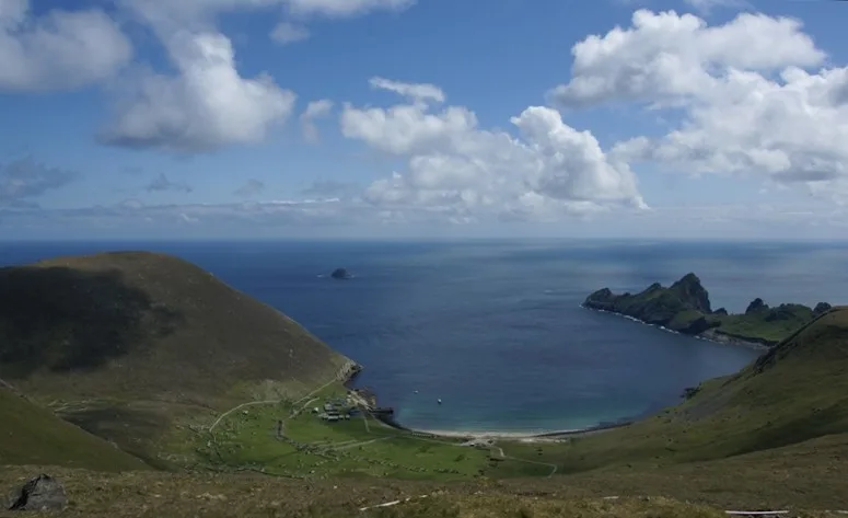 Flagship📷 5
UNESCO World Heritage · Scottish Highlands
St Kilda
St Kilda — archipelago in Outer Hebrides, Scotland, United Kingdom.
 📷 3
📷 3Archaeological sites · Scottish Highlands
Taigh an t-Sithiche
Taigh an t-Sithiche — a archaeological in scotland-highlands, United Kingdom.
 📷 3
📷 3Archaeological sites · Scottish Highlands
Calum Mor's House
Calum Mor's House — a archaeological in scotland-highlands, United Kingdom.
 📷 3
📷 3Archaeological sites · Scottish Highlands
Lady Grange's Cleit
Lady Grange's Cleit — a archaeological in scotland-highlands, United Kingdom.
 📷 3
📷 3Mountains & hills · Scottish Highlands
Conachair
Conachair — a mountain in scotland-highlands, United Kingdom.
 📷 3
📷 3Archaeological sites · Scottish Highlands
Amazon's House
Amazon's House — a archaeological in scotland-highlands, United Kingdom.
More places run by National Trust for Scotland
 Flagship📷 5
Islands · Scottish Highlands
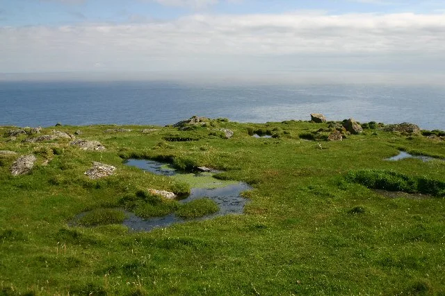
Barra Head
Barra Head — southernmost island of the Outer Hebrides in Scotland, UK.
 📷 4
📷 4Islands · Scottish Highlands
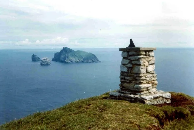
Boreray
Boreray — uninhabited island in St Kilda archipelago, Scotland.
 Flagship📷 5
Islands · Scottish Highlands
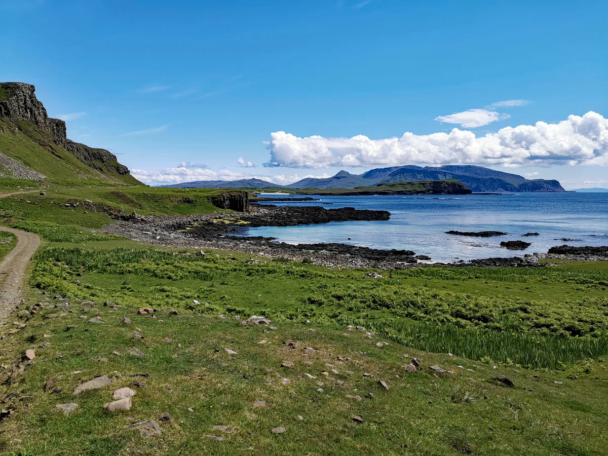
Canna
Canna — island in Inner Hebrides, Scotland, UK.
 Flagship📷 5
Islands · Scottish Highlands
Dùn
Dùn — island of St Kilda, Outer Hebrides, Scotland, UK.
More places in this region
 📷 5
📷 5Islands · Scottish Highlands
Bac Beag
Bac Beag — Scottish island, part of the Treshnish Isles in the Inner Hebrides.
 📷 5
📷 5Islands · Scottish Highlands
Bac Mòr
Bac Mòr — island in Argyll and Bute, Scotland, UK, one of the Treshnish Isles.
 Flagship📷 3
Islands · Scottish Highlands
Baleshare
Baleshare — flat tidal island in the Outer Hebrides, Scotland, UK.
 Flagship📷 5
Islands · Scottish Highlands
Barra
Barra — island in Outer Hebrides, Scotland, UK.
Frequently asked questions
- Where is Hirta?
- Hirta is in the Scottish Highlands, United Kingdom.
- Who runs Hirta?
- Hirta is operated by National Trust for Scotland.
- Is Hirta free to visit?
- Yes, Hirta is free to enter.