
Hill forts · South East England
Bouldnor Cliff
In or near Brook.
Bouldnor Cliff — archaeological site in Bouldnor, Isle of Wight, England, UK.

Wikimedia Commons contributors — see linked file page for photographer and licence licence

Plan your visit
- Typical visit
- 1 h–2 h
- Nearest railway station
- Lymington Pier · 6.7 km
- Free entry
- Dog-friendly
Getting there & planning your visit
To visit Bouldnor Cliff, the nearest railway station is Lymington Pier, which is 6.7 km away. Entry is free. The postcode for sat-nav is PO41 0AB.
About
Bouldnor Cliff is a hill fort in the United Kingdom. Wikidata describes it as: "archaeological site in Bouldnor, Isle of Wight, England, UK". Coordinates: 50.7136°, -1.4639°.
Photo gallery
Protected designations
- Site of Special Scientific Interest: Bouldnor and Hamstead Cliffs SSSI
- Site of Special Scientific Interest: Hurst Castle and Lymington River Estuary SSSI
- Area of Outstanding Natural Beauty: Isle Of Wight
- Ramsar wetland: Solent & Southampton Water
Designations sourced from Natural England open data under OGL v3.
From the Wikipedia article
Bouldnor Cliff is a submerged prehistoric settlement site in the Solent. The site dates from the Mesolithic era and is in approximately 11 metres (6 fathoms) of water just offshore of the village of Bouldnor on the Isle of Wight in the United Kingdom. The preservation of organic materials from this era that do not normally survive on dry land has made Bouldnor important to the understanding of Mesolithic Britain, and the BBC Radio 4's Making History programme described it "probably Europe's most important Mesolithic site" albeit concealed under water. The site was first discovered by divers from the Hampshire and Wight Trust for Maritime Archaeology (now the Maritime Archaeology Trust) in 1999, when a lobster was observed discarding worked flint tools from its burrow on the seabed. Since then, several years of fieldwork have revealed that Bouldnor was a settlement site about 8,000 years ago, at a time when lower sea levels meant that the Solent was just a river valley. The work done so far has already revealed that the technology of Mesolithic settlers was probably 2,000 years ahead of what had previously been believed.
Excerpt from Wikipedia under CC BY-SA 4.0. See the source article linked in Sources below.
Background
Architecture
Investigations suggest that during the Mesolithic era, between 8000 and 4000 BC, the western Solent was a sheltered river basin, rich in woodland and fed by a river at Lymington and drained by the Western Yar at Freshwater. As sea levels rose, the Solent eventually flooded and the settlement area was swamped. The rising waters deposited silt and mud onto the original land surface, covering and preserving it.
Sourced from Wikipedia under CC BY-SA 4.0.
- Coordinates
- 50.7136, -1.4639
- District
- Isle of Wight
- Parish
- Shalfleet
- Postcode
- PO41 0AB
- Parliamentary constituency
- Isle of Wight West
- Nearest railway station
- Lymington Pier — 6.7 km
Sources
- wikidata: Q4949619 (CC0)
- wikipedia: Bouldnor Cliff (CC BY-SA 4.0)
- commons: Bouldnor.jpg (CC BY-SA 4.0)
Other places nearby

War Dept
Memorials & monuments · 0.5 km

Lucketts Camp Site
Campsites · 1.1 km
Lucketts Caravan Site
Caravan parks · 1.1 km

Silver Glades Caravan Park
Caravan parks · 1.8 km
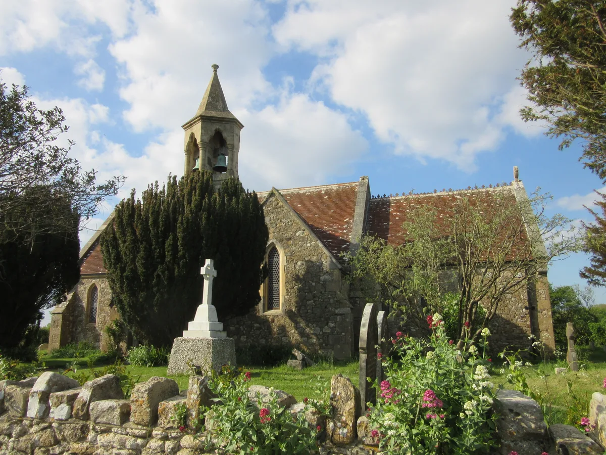
St. Swithin's Church, Thorley
Historic churches · 1.9 km

Thorley War Memorial
Memorials & monuments · 2.0 km

Camp Wight
Campsites · 2.0 km

Brookside Cottage B&B
B&Bs · 2.3 km

West Wight Alpacas
Natural landmarks · 2.6 km

Yarmouth Pier
Piers · 2.6 km

Bugle Coaching Inn
Hotels · 2.6 km
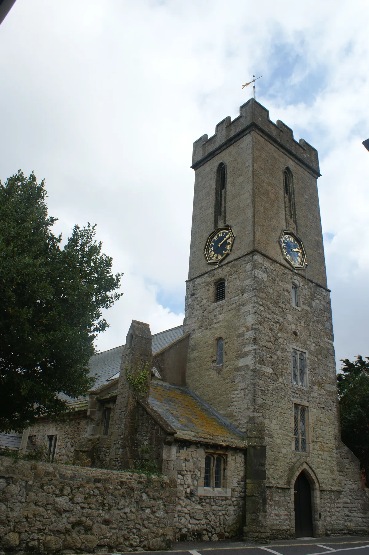
St. James' Church, Yarmouth
Historic churches · 2.6 km
Nearby
📷 5Memorials & monuments · South East England
War Dept
War Dept — a memorial in england-south-east, United Kingdom.
📷 3Campsites · South East England
Lucketts Camp Site
Lucketts Camp Site — a campsite in england south east.
📷 3Caravan parks · South East England
Lucketts Caravan Site
Lucketts Caravan Site — a caravan park in england south east.
📷 5Caravan parks · South East England
Silver Glades Caravan Park
Silver Glades Caravan Park — a caravan park in england south east.
📷 5Historic churches · South East England
St. Swithin's Church, Thorley
St. Swithin's Church, Thorley — church in Yarmouth, Isle of Wight, England, UK.
📷 5Memorials & monuments · South East England
Thorley War Memorial
Thorley War Memorial — Grade II listed building-listed memorial in england-south-east, United Kingdom.
Where to eat & stay near Bouldnor Cliff
Places to stay
📷 3Campsites · South East England
Lucketts Camp Site
Lucketts Camp Site — a campsite in england south east.
📷 3Caravan parks · South East England
Lucketts Caravan Site
Lucketts Caravan Site — a caravan park in england south east.
📷 5Caravan parks · South East England
Silver Glades Caravan Park
Silver Glades Caravan Park — a caravan park in england south east.
📷 5Campsites · South East England
Camp Wight
Camp Wight — a campsite in england south east.
📷 7B&Bs · South East England
Brookside Cottage B&B
Brookside Cottage B&B — a bed-and-breakfast in england south east.
📷 5Hotels · South East England
Bugle Coaching Inn
Bugle Coaching Inn — a hotel in england south east.
Places to eat & drink
 📷 7
📷 7 📷 7
📷 7 📷 7
📷 7 📷 7
📷 7Historic pubs · South East England
Walhampton Arms, formerly farm building range at Home Farm
Walhampton Arms, formerly farm building range at Home Farm in England South East, United Kingdom.
 📷 5
📷 5Historic pubs · South East England
The Beach House
The Beach House in England South East, United Kingdom.
 📷 5
📷 5Historic pubs · South East England
Master Builder's House Hotel
Master Builder's House Hotel in England South East, United Kingdom.
More places in this region
 📷 5
📷 5Hill forts · South East England
Ankerwycke Priory
Ankerwycke Priory — Benedictine nunnery with associated moat and fishponds.
 📷 5
📷 5Hill forts · South East England
Shornemead Fort
Shornemead Fort — fort in Shorne, Kent, England, UK.
 📷 5
📷 5Hill forts · South East England
Smythe's Megalith
Smythe's Megalith — neolithic monument in Kent, England.
 📷 5
📷 5Hill forts · South East England
White Horse Stone
White Horse Stone — Two megaliths near Aylesford, Kent, England.
Frequently asked questions
- Where is Bouldnor Cliff?
- Bouldnor Cliff is in South-East England, United Kingdom (postcode PO41 0AB), in the parish of Shalfleet.
- What is Bouldnor Cliff?
- Bouldnor Cliff — archaeological site in Bouldnor, Isle of Wight, England, UK.
- How do I get to Bouldnor Cliff?
- The nearest railway station is Lymington Pier, about 6.7 km away. Drivers can use postcode PO41 0AB.
- Is Bouldnor Cliff a protected site?
- Yes — Bouldnor Cliff is part of the Bouldnor and Hamstead Cliffs SSSI Site of Special Scientific Interest and the Hurst Castle and Lymington River Estuary SSSI Site of Special Scientific Interest.
- Is Bouldnor Cliff free to visit?
- Yes, Bouldnor Cliff is free to enter.
- How do I get to Bouldnor Cliff?
- The nearest railway station is Lymington Pier, about 6.7 km away. Drivers can navigate to postcode PO41 0AB.