Country parks · West Midlands
Botley Park
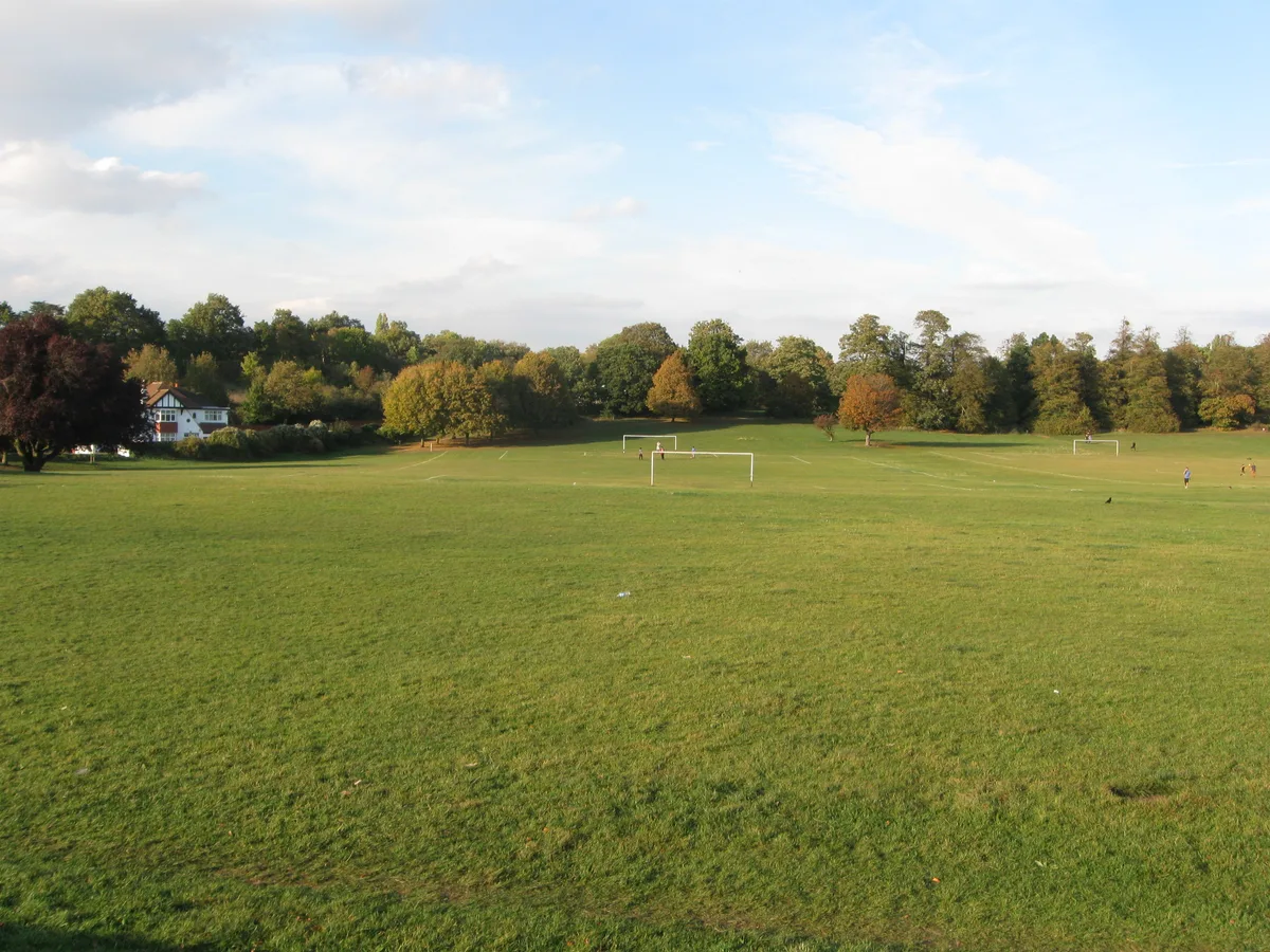
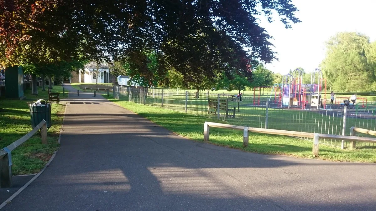
Botley Park — West Oxford public park.

Wikimedia Commons contributors — see linked file page for photographer and licence licence
Plan your visit
- Typical visit
- 1.5 h–3 h
- Nearest railway station
- Oxford · 0.4 km
- Free entry
- Family-friendly
- Dog-friendly
About
Botley Park is a country park in the United Kingdom. Records date its origin to 1922. Managed by Oxford City Council. Wikidata describes it as: "West Oxford public park". Coordinates: 51.7540°, -1.2764°.
Photo gallery
From the Wikipedia article
Botley Park is a public park in West Oxford, England. Located off Botley Road, it features a bowls club, tennis courts and a children's playground. The park also provides access to the Tumbling Bay bathing area.
Excerpt from Wikipedia under CC BY-SA 4.0. See the source article linked in Sources below.
Background
Description
The park is located off Botley Road, behind the West Oxford Community Centre. The north-western side of the park is known as Kingfisher Corner, an area of shrubs and small trees that is used for wildlife spotting.
Sourced from Wikipedia under CC BY-SA 4.0.
- Coordinates
- 51.7540, -1.2764
- County
- Oxfordshire
- District
- Oxford
- Parish
- Oxford, unparished area
- Postcode
- OX2 0DG
- Parliamentary constituency
- Oxford West and Abingdon
- Established
- 1922
- Nearest railway station
- Oxford — 0.4 km
- Opening
- | status =
- Official site
- www.oxford.gov.uk
Sources
- wikidata: Q130577153 (CC0)
- wikipedia: Botley Park (CC BY-SA 4.0)
- commons: Botley park - geograph.org.uk - 1407020.jpg (CC BY-SA 4.0)
Other places nearby
Loading nearby places…
Nearby
 📷 4
📷 4Historic bridges · West Midlands
Seven Arches Bridge
Seven Arches Bridge — Grade II listed building-listed bridge in england-west-midlands, United Kingdom.
 📷 5
📷 5Historic churches · West Midlands
St Frideswide's Church
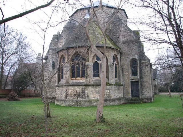
St Frideswide's Church — church in Oxford, UK.
 📷 3
📷 3Historic bridges · West Midlands
Bridge At North End Of Street Forming The Junction With Botley Road
Bridge At North End Of Street Forming The Junction With Botley Road — Grade II listed building-listed bridge in england-west-midlands, United Kingdom.
 📷 3
📷 3Islands · West Midlands
Osney
Osney — riverside community in the west of the city of Oxford, England.
 📷 3
📷 3Historic bridges · West Midlands
Osney Bridge
Osney Bridge is a historic bridge in the United Kingdom.
Hotels · West Midlands
River Hotel
River Hotel — a hotel in england west midlands.
Other places from this era
 Flagship📷 10
Country parks · London
Lloyd Park
Lloyd Park — public park in Croydon, UK.
 📷 5
📷 5Country parks · London
Coronation Gardens
Coronation Gardens — park in the London Borough of Havering, England, UK.
 📷 5
📷 5Country parks · London
Lyle Park
Lyle Park — Riverside park in east London.
 📷 5
📷 5Country parks · London
Radnor Gardens
Radnor Gardens — park in Strawberry Hill, London.
More places in this region
 📷 5
📷 5Country parks · West Midlands
Bradgate Park
Bradgate Park — 850 acre public park.
 📷 3
📷 3Country parks · West Midlands
Burslem Park
Burslem Park — park in Stoke-on-Trent, Staffordshire, England, UK.
 📷 3
📷 3Country parks · West Midlands
Dartmouth Park
Dartmouth Park — Public park in West Bromwich, England.
 📷 5
📷 5Country parks · West Midlands
Handsworth Park
Handsworth Park — Victorian park in Birmingham, England.
Frequently asked questions
- Where is Botley Park?
- Botley Park is in Oxfordshire, the West Midlands, United Kingdom (postcode OX2 0DG), in the parish of Oxford, unparished area.
- When was Botley Park built?
- Built or established in 1922.
- Who runs Botley Park?
- Botley Park is operated by Oxford City Council.
- Is Botley Park free to visit?
- Yes, Botley Park is free to enter.
- How do I get to Botley Park?
- The nearest railway station is Oxford, about 0.4 km away. Drivers can navigate to postcode OX2 0DG.