
Historic bridges · South East England
Bridge At North End Of Street Forming The Junction With Botley Road
In or near Oxford.
Bridge At North End Of Street Forming The Junction With Botley Road — Grade II listed building-listed bridge in england-west-midlands, United Kingdom.

Roger Templeman — CC BY-SA 2.0 via Wikimedia Commons licence

Plan your visit
- Typical visit
- 15 min–30 min
- Nearest railway station
- Oxford · 0.3 km
- Free entry
- Dog-friendly
Getting there & planning your visit
The Bridge at the north end of the street forming the junction with Botley Road is located in Oxford, Oxfordshire, postcode OX2 0AY. The nearest railway station is Oxford, which is 0.3 km away. Entry to the bridge is free.
About
Bridge At North End Of Street Forming The Junction With Botley Road is a Grade II listed building-listed bridge in england-west-midlands, United Kingdom, registered on the National Heritage List for England (NHLE entry 1047341). Listed status protects buildings and structures of special architectural or historic interest. See the linked Wikipedia article for further details.
Photo gallery
360° viewimagery from 2022
Imagery © Mapillary contributors, CC BY-SA 4.0
Heritage listing
Details 1. 1485 SP 50 NW 24/690 BRIDGE STREET Bridge at North end of Street forming the junction with Botley Road II 2. C19. Single span coursed rubble bridge with ashlar parapet walls. Listing NGR: SP5022906213 Legacy The contents of this record have been generated from a legacy data system. Legacy System number: 245346 Legacy System: LBS
From the Historic England List Entry under OGL v3.
Place summary
The Bridge at the north end of the street forming the junction with Botley Road is located in Oxford, an unparished area of Oxfordshire, in the West Midlands. This structure is designated as a Grade II listed building, highlighting its architectural significance.
AI-generated from the structured facts on this page (operator, designation, listing, era). Not a substitute for visiting.
- Coordinates
- 51.7524, -1.2739
- County
- Oxfordshire
- District
- Oxford
- Parish
- Oxford, unparished area
- Postcode
- OX2 0AY
- Parliamentary constituency
- Oxford West and Abingdon
- Nearest railway station
- Oxford — 0.3 km
Sources
- wikidata: Q26299447 (CC0)
Other places nearby

Osney
Islands · 0.0 km
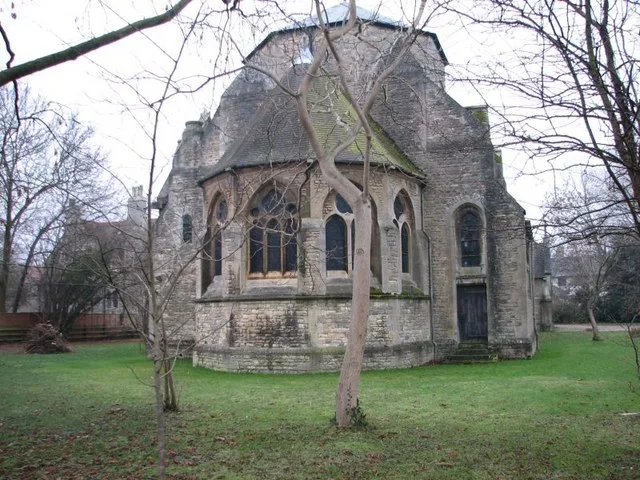
St Frideswide's Church
Historic churches · 0.1 km

Osney Bridge
Historic bridges · 0.1 km

Seven Arches Bridge
Historic bridges · 0.1 km

River Hotel
Hotels · 0.1 km
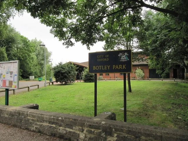
Botley Park
Country parks · 0.3 km

The Ox
Public art & sculpture · 0.4 km

Osney Mill
Mills · 0.4 km
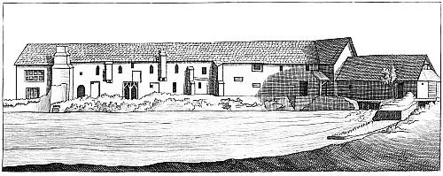
Osney Abbey
Cathedrals · 0.4 km
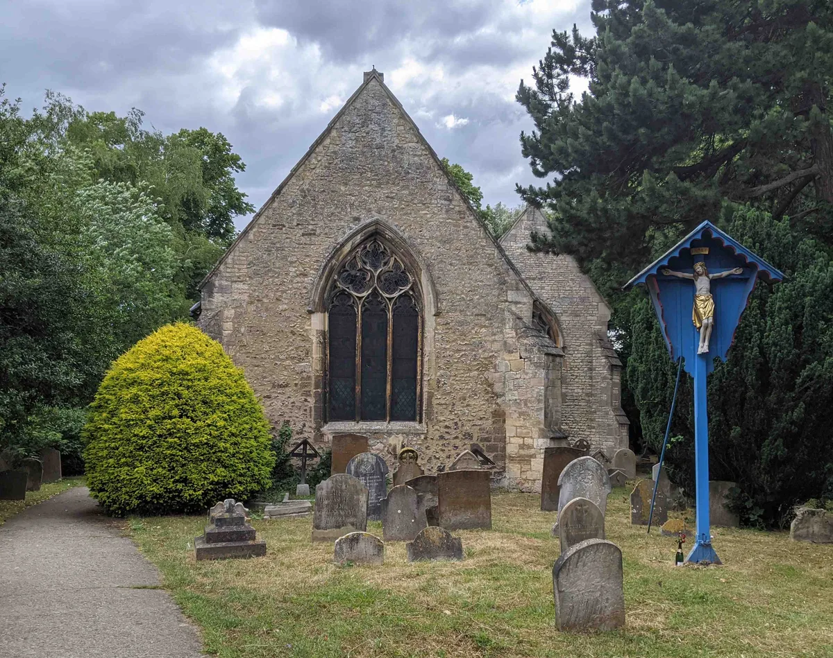
St Thomas the Martyr's Church, Oxford
Historic churches · 0.4 km

Sheepwash Channel Railway Bridge A
Historic bridges · 0.4 km

Osney Cemetery
Cemeteries · 0.4 km
Nearby
📷 3Islands · South East England
Osney
Osney — riverside community in the west of the city of Oxford, England.
📷 5Historic churches · South East England
St Frideswide's Church
St Frideswide's Church — church in Oxford, UK.
📷 3Historic bridges · South East England
Osney Bridge
Osney Bridge is a historic bridge in the United Kingdom.
📷 4Historic bridges · South East England
Seven Arches Bridge
Seven Arches Bridge — Grade II listed building-listed bridge in england-west-midlands, United Kingdom.
📷 7Hotels · South East England
River Hotel
River Hotel — a hotel in england west midlands.
📷 3Country parks · South East England
Botley Park
Botley Park — West Oxford public park.
Where to eat & stay near Bridge At North End Of Street Forming The Junction With Botley Road
Places to stay
📷 7Hotels · South East England
River Hotel
River Hotel — a hotel in england west midlands.
 📷 5
📷 5Hostels · South East England
Oxford Backpackers
Oxford Backpackers — a hostel in england west midlands.
 📷 5
📷 5Hostels · South East England
Central Backpackers Oxford
Central Backpackers Oxford — a hostel in england west midlands.
 📷 5
📷 5Hotels · South East England
The Jericho Hotel
The Jericho Hotel — a hotel in england west midlands.
 📷 5
📷 5B&Bs · South East England
St Michael's Guest House
St Michael's Guest House — a bed-and-breakfast in england west midlands.
 📷 7
📷 7Hotels · South East England
Old Parsonage Hotel
Old Parsonage Hotel — a hotel in england west midlands.
Places to eat & drink
 📷 7
📷 7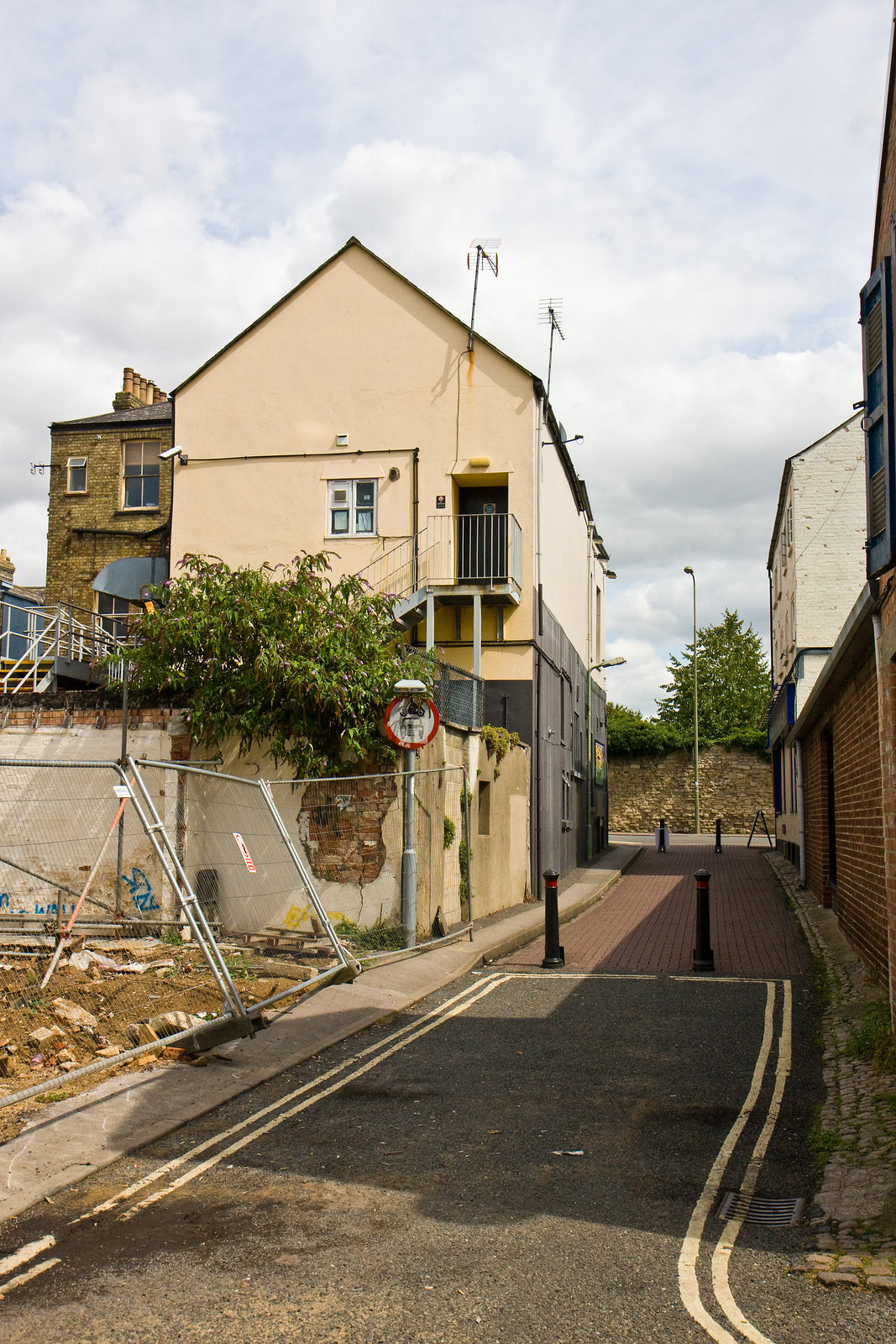 📷 5
📷 5Historic pubs · South East England
Jericho Tavern
Jericho Tavern in England South East, United Kingdom.
 📷 5
📷 5 📷 7
📷 7Historic pubs · South East England
The Eagle and Child
The Eagle and Child in England South East, United Kingdom.
 📷 5
📷 5Cafés · South East England
Love Coffee Co.
Love Coffee Co. — a café in england west midlands.
 📷 6
📷 6Cafés · South East England
The Missing Bean
The Missing Bean — a café in england west midlands.
More bridges in this region
 📷 5
📷 5Historic bridges · South East England
Briary Hill Bridge east
Briary Hill Bridge east is a historic bridge in the United Kingdom.
 📷 5
📷 5Historic bridges · South East England
Briary Hill Bridge west
Briary Hill Bridge west is a historic bridge in the United Kingdom.
 📷 5
📷 5Historic bridges · South East England
Bridge 157 VIR (Bath Hard Road)
Bridge 157 VIR (Bath Hard Road) is a historic bridge in the United Kingdom.
 📷 5
📷 5Historic bridges · South East England
Dorking Arch Bridge
Dorking Arch Bridge is a historic bridge in the United Kingdom.
Frequently asked questions
- Where is Bridge At North End Of Street Forming The Junction With Botley Road?
- Bridge At North End Of Street Forming The Junction With Botley Road is in Oxfordshire, the West Midlands, United Kingdom (postcode OX2 0AY), in the parish of Oxford, unparished area.
- What is Bridge At North End Of Street Forming The Junction With Botley Road?
- Bridge At North End Of Street Forming The Junction With Botley Road — Grade II listed building-listed bridge in england-west-midlands, United Kingdom.
- How do I get to Bridge At North End Of Street Forming The Junction With Botley Road?
- The nearest railway station is Oxford, about 0.3 km away. Drivers can use postcode OX2 0AY.
- Is Bridge At North End Of Street Forming The Junction With Botley Road a listed building?
- Bridge At North End Of Street Forming The Junction With Botley Road is officially recognised as Grade II listed building listed.
- Is Bridge At North End Of Street Forming The Junction With Botley Road free to visit?
- Yes, Bridge At North End Of Street Forming The Junction With Botley Road is free to enter.
- How do I get to Bridge At North End Of Street Forming The Junction With Botley Road?
- The nearest railway station is Oxford, about 0.3 km away. Drivers can navigate to postcode OX2 0AY.