Mountains & hills · Scottish Lowlands
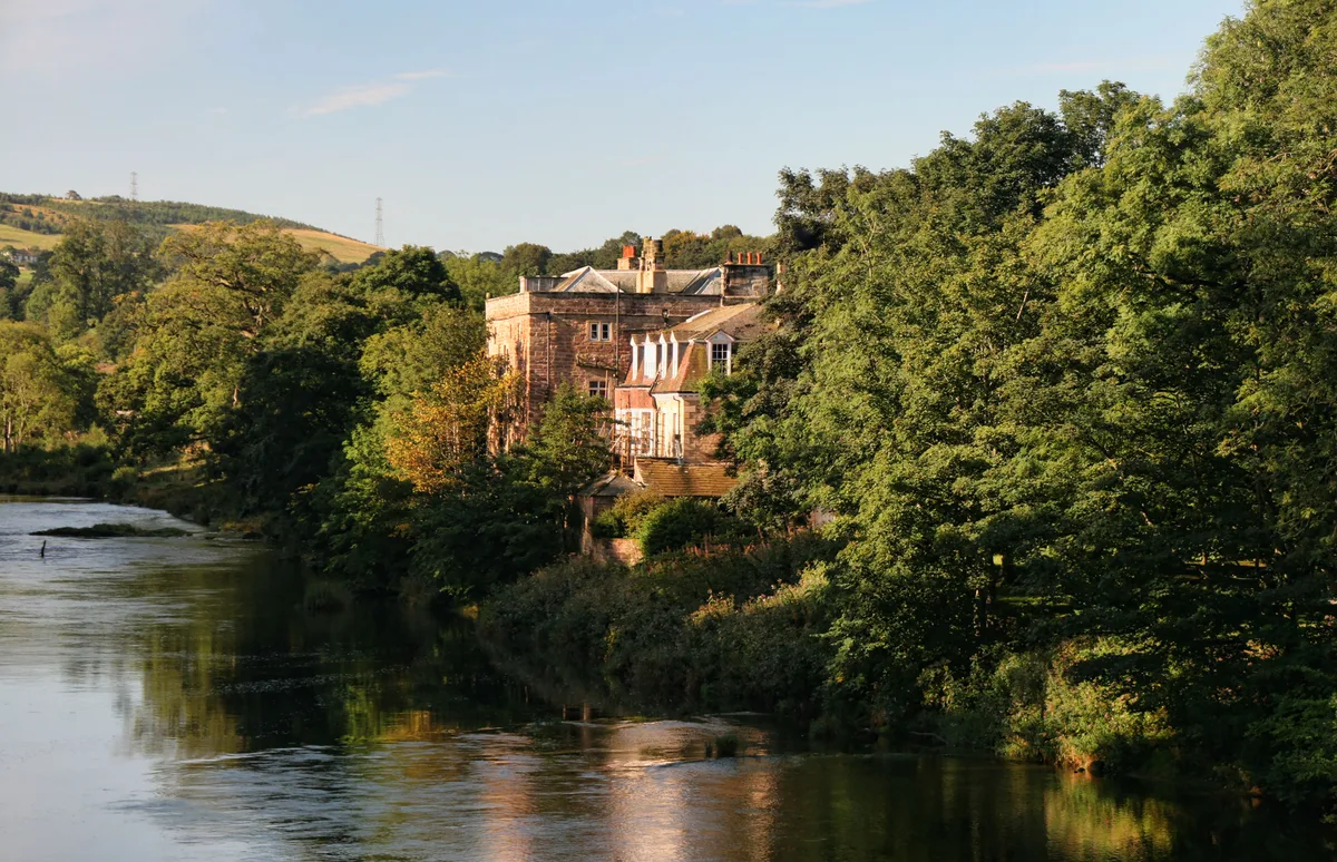
Blaze Fell
Blaze Fell — a hill or mountain in scotland lowlands.

Rude Health — CC BY-SA 2.0 via Wikimedia Commons licence
Plan your visit
- Typical visit
- 3 h–8 h
- Best time of year
- Late spring – early autumn (May–Oct)
About
A British hill or mountain, named on Ordnance Survey maps and walked by hill-baggers. Blaze Fell is a named hill or mountain in scotland lowlands, recorded in the GeoNames UK gazetteer. British landmarks of this type are typically marked on Ordnance Survey maps and recorded in the national gazetteer for cartographic and navigational reference. Coordinates and feature classification are sourced from the GeoNames open dataset.
Photo gallery
Place summary
Blaze Fell is a mountain located in the Scottish Lowlands. It is characterised by its rugged terrain and scenic views of the surrounding landscape. The area is suitable for walking and offers a variety of trails for different skill levels. Visitors can expect a natural setting, ideal for outdoor activities such as hiking and nature observation.
AI-generated from the structured facts on this page (operator, designation, listing, era). Not a substitute for visiting.
- Coordinates
- 54.7821, -2.7848
Sources
- manual: geonames-12609480 (CC BY 4.0)
Other places nearby
Loading nearby places…
Nearby
 📷 5
📷 5Caravan parks · Scottish Lowlands
Hesket Park
Hesket Park — a caravan park in scotland lowlands.
 📷 5
📷 5Vineyards · Scottish Lowlands
Castlerigg
Castlerigg — a UK vineyard in scotland lowlands, producing English or Welsh wine from cool-climate grape varieties.
 📷 5
📷 5Mountains & hills · Scottish Lowlands
Thiefside Hill
Thiefside Hill — a hill or mountain in scotland lowlands.
 📷 5
📷 5Villages · Scottish Lowlands
High Hesket
High Hesket — a village in scotland lowlands.
 📷 3
📷 3Memorials & monuments · Scottish Lowlands
High Hesket War Memorial
High Hesket War Memorial — Grade II listed building-listed memorial in scotland-lowlands, United Kingdom.
 📷 3
📷 3Castles · Scottish Lowlands
Armathwaite Castle
Armathwaite Castle — castle in Cumbria, England, UK.
Where to eat & stay near Blaze Fell
Places to stay
📷 5Caravan parks · Scottish Lowlands
Hesket Park
Hesket Park — a caravan park in scotland lowlands.
 📷 5
📷 5Campsites · Scottish Lowlands
Lazonby Pool Campsite
Lazonby Pool Campsite — a campsite in scotland lowlands.
 📷 5
📷 5Caravan parks · Scottish Lowlands
Englethwaite Hall
Englethwaite Hall — a caravan park in scotland lowlands.
 📷 5
📷 5Campsites · Scottish Lowlands
Mains Farm
Mains Farm — a campsite in scotland lowlands.
 📷 5
📷 5Caravan parks · Scottish Lowlands
Green Hollows
Green Hollows — a caravan park in scotland lowlands.
 📷 3
📷 3Campsites · Scottish Lowlands
Pasturewood Holidays
Pasturewood Holidays — a campsite in scotland lowlands.
Places to eat & drink
 📷 3
📷 3Historic pubs · North East England
Langwathby
Langwathby in England North East, United Kingdom.
 📷 5
📷 5Cafés · Scottish Lowlands
Narrowbar Cafe
Narrowbar Cafe — a café in scotland lowlands.
 📷 5
📷 5Historic pubs · Scottish Lowlands
Gloucester Arms
Gloucester Arms in Scotland Lowlands, United Kingdom.
 📷 5
📷 5Historic pubs · Scottish Lowlands
Two Lions public house and integral stables
Two Lions public house and integral stables in Scotland Lowlands, United Kingdom.
 📷 5
📷 5Historic pubs · Scottish Lowlands
The Blue Bell
The Blue Bell in Scotland Lowlands, United Kingdom.
📷 5Cafés · Scottish Lowlands
Crumbs
Crumbs — a café in scotland lowlands.
More mountains in this region
 📷 3
📷 3Mountains & hills · Scottish Lowlands
Andrewhinney Hill
Andrewhinney Hill — Named summit at 677 m.
 📷 3
📷 3Mountains & hills · Scottish Lowlands
Arbory Hill
Arbory Hill — Named summit at 429 m.
 📷 3
📷 3Mountains & hills · Scottish Lowlands
Auchenton Hill ( East Mount Lowther)
Auchenton Hill ( East Mount Lowther) — Named summit at 631 m.
 📷 3
📷 3Mountains & hills · Scottish Lowlands
Bakestall
Bakestall — Named summit at 673.5 m.
Frequently asked questions
- Where is Blaze Fell?
- Blaze Fell is in the Scottish Lowlands, United Kingdom.
- What is Blaze Fell?
- Blaze Fell — a hill or mountain in scotland lowlands.
- How do I get to Blaze Fell?
- Its coordinates are 54.7821°, -2.7848°.