
Wildlife reserves · Yorkshire & the Humber
Blacktoft Sands RSPB reserve
In or near Alkborough.
Blacktoft Sands RSPB reserve — RSPB nature reserve in England.

Wikimedia Commons contributors — see linked file page for photographer and licence licence

Plan your visit
- Typical visit
- 2 h–4 h
- Best time of year
- Autumn & winter (migration & wildfowl)
- Nearest railway station
- Gilberdyke · 5.4 km
- Free entry
- Dog-friendly
Getting there & planning your visit
To visit Blacktoft Sands RSPB reserve, the nearest railway station is Gilberdyke, located 5.4 km away. The postcode for sat-nav is DN14 8HR, and entry to the reserve is free.
About
Blacktoft Sands RSPB reserve is a wildlife reserve in the United Kingdom. It covers approximately 192 km². Owned by Associated British Ports. Managed by Royal Society for the Protection of Birds. Address: DN14 8HR. Wikidata describes it as: "RSPB nature reserve in England". Coordinates: 53.6995°, -0.7241°.
Photo gallery
About this reserve
Reedbed rules at Blacktoft and with it comes a wonderful array of waders, wildfowl and birds of prey that swoop overhead. ? ? Hiding on the south bank of the River Ouse where the waterway widens into the Humber Estuary, you’ll find Blacktoft Sands. This East Yorkshire nature reserve is a watery wonderland where the reedbed rules. The vast swaying expanse is the largest tidal reedbed in England and home to Marsh Harriers, Bitterns and Bearded Tits. Wildfowl and waders feed and nest in the six shallow lagoons and on the grazing marshland, while hidden mudflats provide safe roosting for Golden Plover and Lapwings. Over in the scrubland between our hides, warblers and a thriving colony of Tree Sparrows dart around. We look after the habitats at Blacktoft nature reserve to help our wildlife thrive. Our reedbeds, the second largest in the UK, are grazed by ponies and we cut areas back to create a mosaic of reeds at different heights and ages. We also create and maintain pools hidden in the reeds. Inside the reedbeds are several lagoons. These are managed to maintain the ideal conditions for breeding and wintering waterfowl, including up to 40 pairs of Avocets. Migrating birds also stop by in spring and autumn. Cattle and sheep as well as the ponies roam the 32 acres of grazing marsh. This keeps it in good condition for waterfowl and waders, including large numbers of wintering Lapwings and Golden Plovers. Willow scrub is cut on rotation to keep it just right for birds like Song Thrushes and Tree Sparrows. Cetti’s Warblers have just returned to the reserve, making the most of the…
From the RSPB, reproduced under fair-use summary for visitor information.
Official information
Blacktoft Sands is a nature reserve managed by the RSPB, focusing on the conservation of wetland habitats and wildlife. Visitors can enjoy birdwatching and exploring the natural environment.
Protected designations
- Site of Special Scientific Interest: Humber Estuary - 2000480 SSSI
- Ramsar wetland: Humber Estuary
Designations sourced from Natural England open data under OGL v3.
From the Wikipedia article
Blacktoft Sands RSPB reserve is a nature reserve in the East Riding of Yorkshire, England. It is managed by the Royal Society for the Protection of Birds, which leases the site from Associated British Ports.
Excerpt from Wikipedia under CC BY-SA 4.0. See the source article linked in Sources below.
Background
Description
The site is on the southern bank of the Ouse, west of its confluence with the River Trent, opposite the village of Blacktoft, and is a wetland. Being at the beginning of the Humber Estuary, the water is slightly saline. The reserve's tidal reedbed is the largest in England. It is managed using a mixture of grazing with our six konik horses, reed cutting and maintaining and excavation of pools within the reedbed.
Sourced from Wikipedia under CC BY-SA 4.0.
- Coordinates
- 53.6995, -0.7241
- District
- East Riding of Yorkshire
- Parish
- Blacktoft
- Postcode
- DN14 8HR
- Parliamentary constituency
- Goole and Pocklington
- Nearest railway station
- Gilberdyke — 5.4 km
- Official site
- www.rspb.org.uk
Sources
- wikidata: Q4923470 (CC0)
- wikipedia: Blacktoft Sands RSPB reserve (CC BY-SA 4.0)
- commons: Blacktoft Sands RSPB reserve with Ship.JPG (CC BY-SA 4.0)
Other places nearby

RSPB Blacktoft Sands
Forests & woodlands · 0.6 km

Ousefleet
Villages · 1.1 km

River Trent
Museums · 1.6 km

River Ouse, Yorkshire
Museums · 1.9 km

Faxfleet
Villages · 2.1 km

Yokefleet Hall
Archaeological sites · 2.2 km
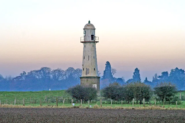
Whitgift Lighthouse
Lighthouses · 2.2 km

Yokefleet
Villages · 2.4 km

Whitgift Hall Caravan Site and Fishery
Campsites · 2.7 km
Whitgift
Villages · 2.9 km

Whitgift War Memorial
Memorials & monuments · 3.5 km

Weighton Lock
Canal locks · 3.9 km
Nearby
📷 3Forests & woodlands · Yorkshire & the Humber
RSPB Blacktoft Sands
RSPB Blacktoft Sands is a forest or woodland in the United Kingdom.
📷 5📷 5Museums · Yorkshire & the Humber
River Trent
River Trent — a museum in england-yorkshire, United Kingdom.
📷 5Museums · Yorkshire & the Humber
River Ouse, Yorkshire
River Ouse, Yorkshire — a museum in england-yorkshire, United Kingdom.
📷 5📷 3Archaeological sites · Yorkshire & the Humber
Yokefleet Hall
Yokefleet Hall — an archaeological site in Yorkshire & the Humber, United Kingdom.
Where to eat & stay near Blacktoft Sands RSPB reserve
Places to stay
📷 5Campsites · Yorkshire & the Humber
Whitgift Hall Caravan Site and Fishery
Whitgift Hall Caravan Site and Fishery — a campsite in england yorkshire.
 📷 5
📷 5Caravan parks · Yorkshire & the Humber
College Farm Caravan Park
College Farm Caravan Park — a caravan park in england yorkshire.
 📷 5
📷 5 📷 5
📷 5Campsites · Yorkshire & the Humber
Normanby Park Camp Site
Normanby Park Camp Site — a campsite in england yorkshire.
 📷 5
📷 5 📷 5
📷 5Caravan parks · Yorkshire & the Humber
Brenda House Touring Caravan Park
Brenda House Touring Caravan Park — a caravan park in england yorkshire.
Places to eat & drink
 📷 7
📷 7Restaurants · Yorkshire & the Humber
The Lowther Hotel
The Lowther Hotel — a restaurant in england yorkshire.
 📷 4
📷 4Historic pubs · Yorkshire & the Humber
The Royal
The Royal — Historic pub — listed building or notable heritage status.
 📷 5
📷 5Historic pubs · Yorkshire & the Humber
The Cross Keys
The Cross Keys in England Yorkshire, United Kingdom.
 📷 5
📷 5Historic pubs · Yorkshire & the Humber
The Buccaneer Public House
The Buccaneer Public House in England Yorkshire, United Kingdom.
 📷 7
📷 7Historic pubs · Yorkshire & the Humber
Fox And Coney Public House
Fox And Coney Public House in England Yorkshire, United Kingdom.
 📷 7
📷 7Historic pubs · Yorkshire & the Humber
The Berkeley
The Berkeley in England Yorkshire, United Kingdom.
More places run by Royal Society for the Protection of Birds
 📷 5
📷 5Hill forts · South East England
Shornemead Fort
Shornemead Fort — fort in Shorne, Kent, England, UK.
 📷 5
📷 5Wildlife reserves · South East England
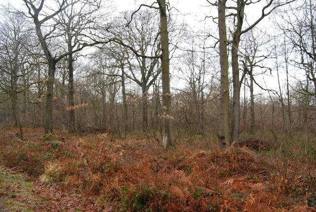
Amberley Wild Brooks
Amberley Wild Brooks — nature reserve in the United Kingdom.
 📷 5
📷 5Wildlife reserves · South East England
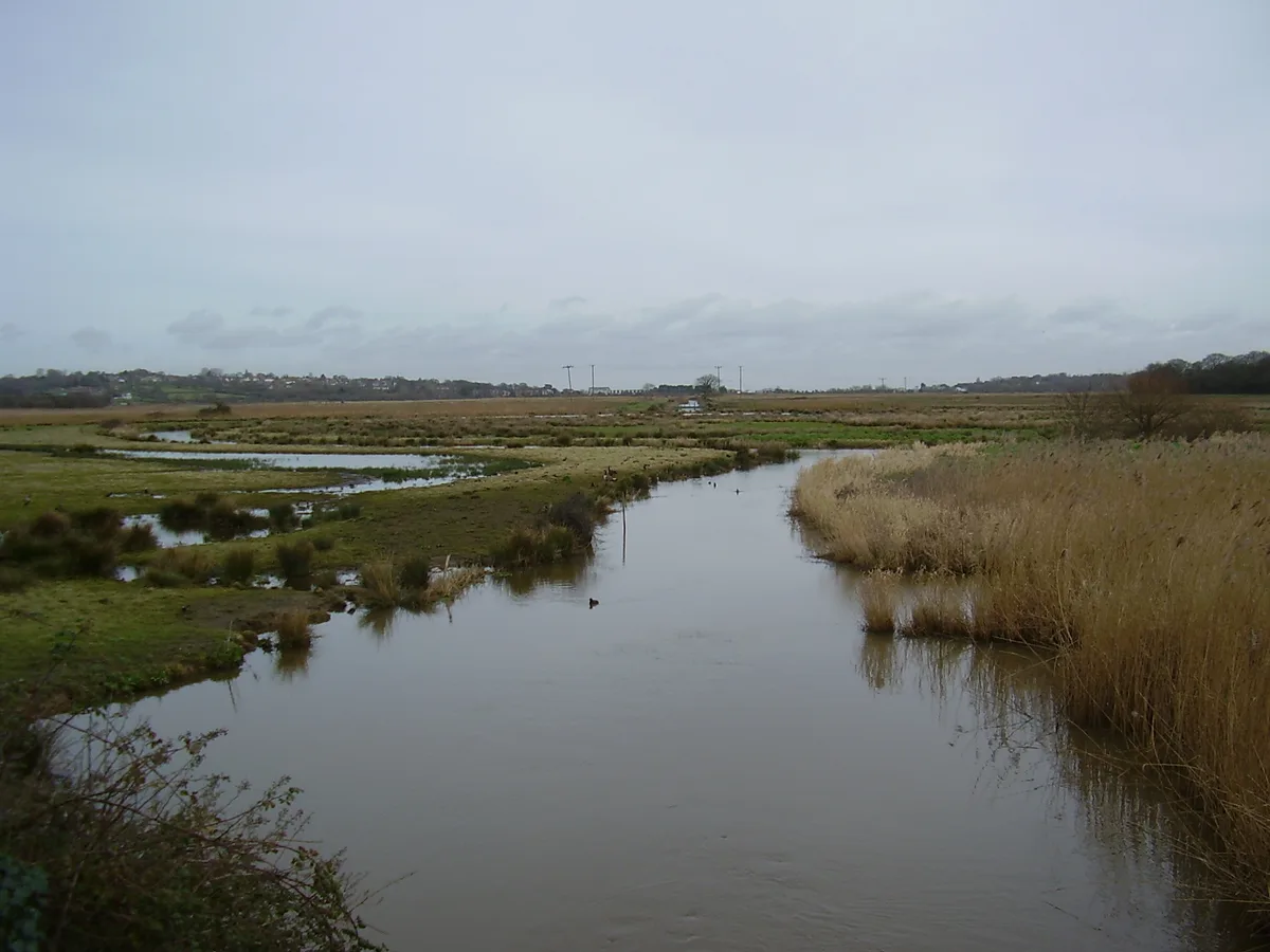
Blean Woods RSPB Reserve
Blean Woods RSPB Reserve — RSPB nature reserve in the United Kingdom.
 📷 5
📷 5Wildlife reserves · South East England
Brading Marshes RSPB reserve
Brading Marshes RSPB reserve — RSPB nature reserve on the Isle of Wight.
More places in this region
 📷 3
📷 3Wildlife reserves · Yorkshire & the Humber
Eastwood Nature Reserve
Eastwood Nature Reserve is a wildlife reserve in the United Kingdom.
 Flagship📷 3
Wildlife reserves · Yorkshire & the Humber
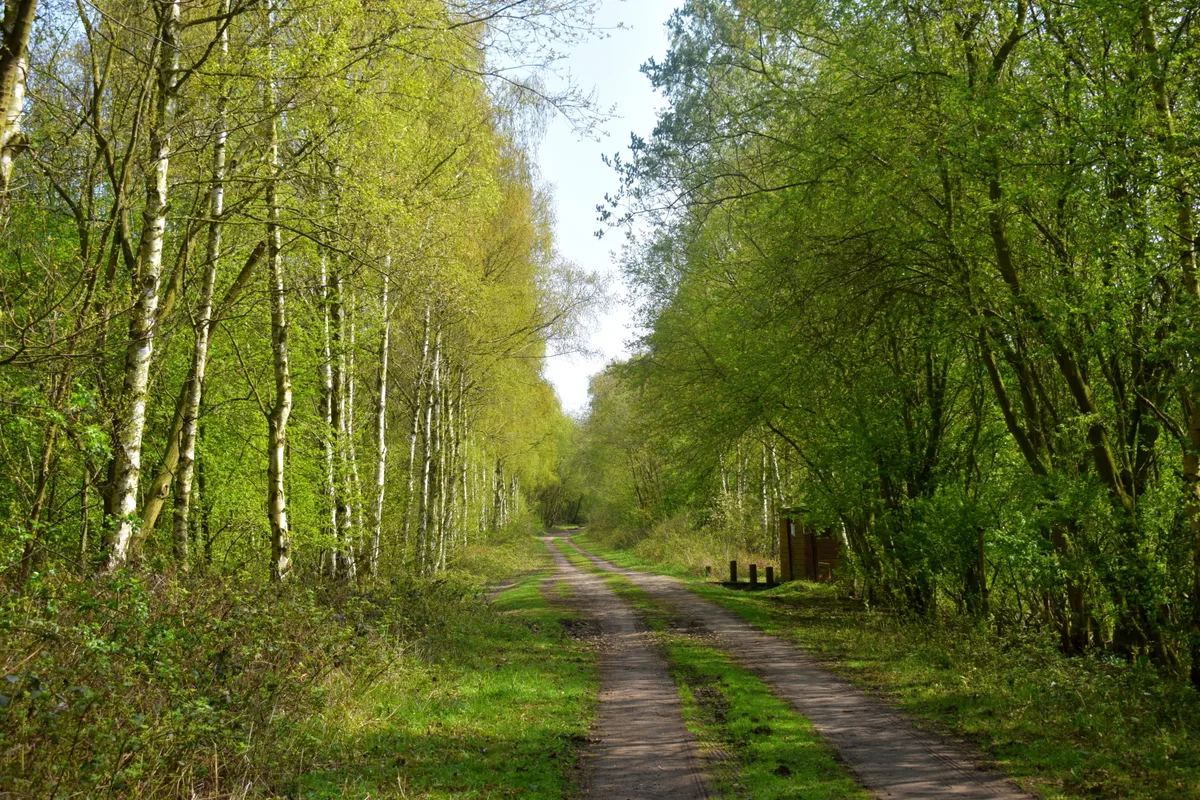
Thorpe Marsh Nature Reserve
Thorpe Marsh Nature Reserve — Nature reserve in South Yorkshire.
 📷 5
📷 5Wildlife reserves · Yorkshire & the Humber
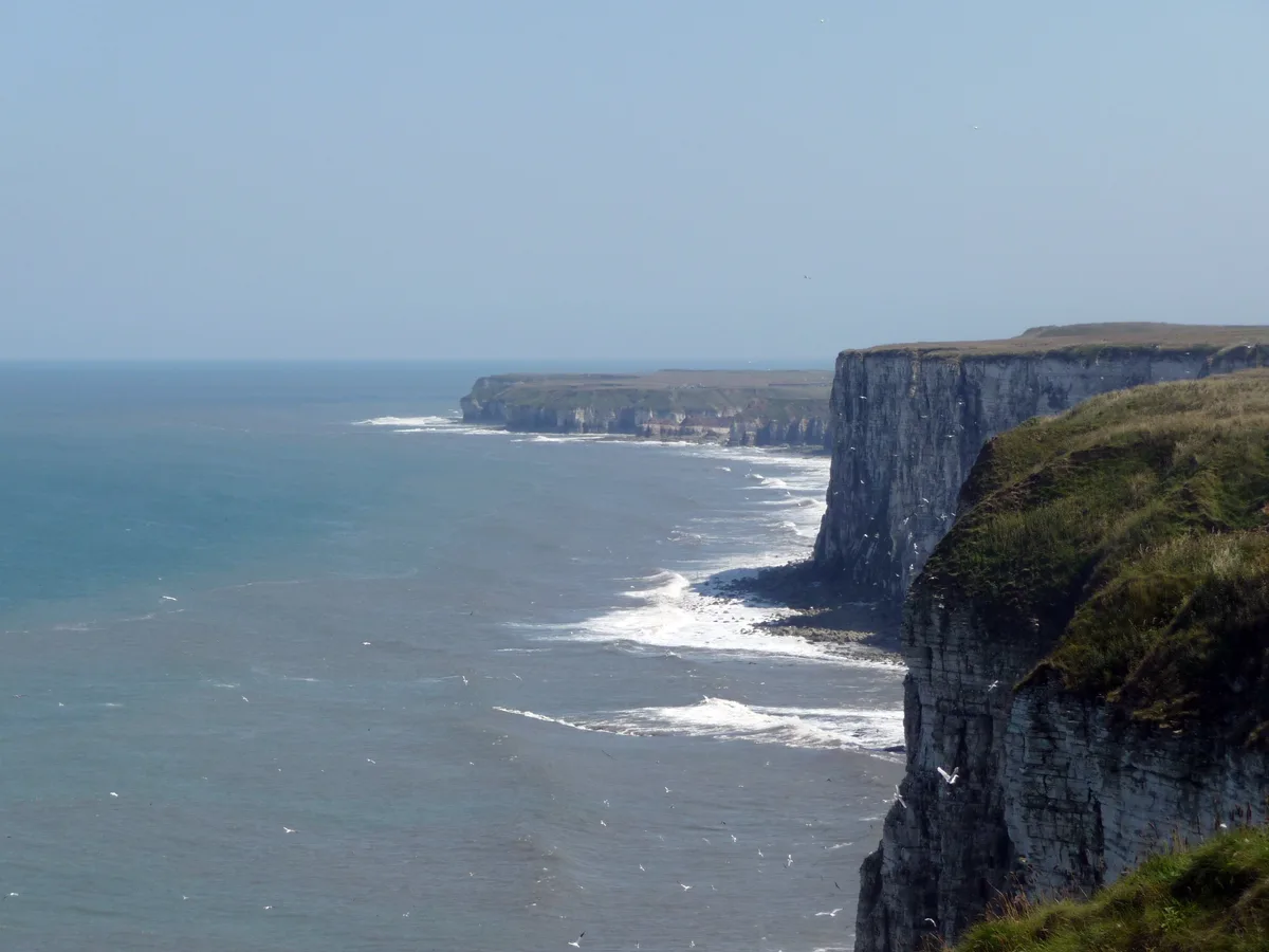
Bempton Cliffs RSPB reserve
Bempton Cliffs RSPB reserve — RSPB nature reserve in the United Kingdom.
 📷 3
📷 3Wildlife reserves · Yorkshire & the Humber
Calder Park Wetlands Nature Reserve
Calder Park Wetlands Nature Reserve — nature reserve in Crigglestone, West Yorkshire, England, UK.
Frequently asked questions
- Where is Blacktoft Sands RSPB reserve?
- Blacktoft Sands RSPB reserve is in Yorkshire, United Kingdom (postcode DN14 8HR), in the parish of Blacktoft.
- What is Blacktoft Sands RSPB reserve?
- Blacktoft Sands RSPB reserve — RSPB nature reserve in England.
- How do I get to Blacktoft Sands RSPB reserve?
- The nearest railway station is Gilberdyke, about 5.4 km away. The nearest town is Alkborough. Drivers can use postcode DN14 8HR.
- Who owns Blacktoft Sands RSPB reserve?
- Blacktoft Sands RSPB reserve is owned by Associated British Ports and operated by Royal Society for the Protection of Birds.
- Is Blacktoft Sands RSPB reserve a protected site?
- Yes — Blacktoft Sands RSPB reserve is part of the Humber Estuary - 2000480 SSSI Site of Special Scientific Interest and the Humber Estuary Ramsar wetland.
- Is Blacktoft Sands RSPB reserve free to visit?
- Yes, Blacktoft Sands RSPB reserve is free to enter.
- How do I get to Blacktoft Sands RSPB reserve?
- The nearest railway station is Gilberdyke, about 5.4 km away. Drivers can navigate to postcode DN14 8HR.
- Are dogs allowed at Blacktoft Sands RSPB reserve?
- Most wildlife reserves allow dogs on lead only, with restrictions during ground-nesting bird season (March-July). Check signage at the reserve.