
Mountains & hills · Central Scotland
Ben Donich
Also known as: Beinn Dòmhnaich
In or near Cairndow.
Ben Donich — Named summit at 847 m.

Wikimedia Commons contributors — see linked file page for photographer and licence licence

Plan your visit
- Typical visit
- 3 h–8 h
- Best time of year
- Late spring – early autumn (May–Oct)
- Nearest railway station
- Arrochar and Tarbet · 9.3 km
- Free entry
- Dog-friendly
Getting there & planning your visit
To visit Ben Donich, the nearest railway station is Arrochar and Tarbet, which is 9.3 km away. Entry to the mountain is free.
About
Ben Donich is a named summit in the United Kingdom. Also known as: Beinn Dòmhnaich. Wikidata describes it as: "Named summit at 847 m.". Coordinates: 56.1979°, -4.8733°.
Photo gallery
From the Wikipedia article
Ben Donich or Beinn Dòmhnaich is a mountain located in the Arrochar Alps, near Loch Goil in Argyll and Bute. It is a Corbett and part of the Ardgoil range with its sister The Brack. The closest settlement to Ben Donich is the village of Lochgoilhead. At 846.5 metres, Ben Donich is the highest mountain on the Ardgoil peninsula. It is a fairly extensive mountain, essentially a square pyramid with its summit at the centre of four ridges. Ben Donich can be accessed by any of its four ridges, but is almost entirely surrounded by forestry plantations in its lower slopes which makes access difficult. To the north-west a ridge runs down to Gleann Mòr, whilst a further ridge kicks off to the south of the summit, dropping down into the wooded glen containing the Donich Water river. By far the most frequented ridge is the south-east ridge which connects Ben Donich to The Brack via Bealach Dubh-lic at 384 metres where a footpath crosses over the ridge from Glen Croe to Lochgoilhead. A further insignificant ridge leads off the summit ridge to the north-east overlooking Glen Croe and the "Rest and be Thankful" summit on the A83. The slopes are moderate, and terrain is mainly grass with some rocky outcrops on steeper slopes. The summit (846.5 metres) of Ben Donich, at grid reference NN218043, also boasts an Ordnance Survey trig point.
Excerpt from Wikipedia under CC BY-SA 4.0. See the source article linked in Sources below.
- Coordinates
- 56.1979, -4.8733
- Address
- Argyll and Bute, Scotland
- Nearest railway station
- Arrochar and Tarbet — 9.3 km
Sources
- osm: n539753699 (ODbL)
- wikipedia: Ben Donich (CC BY-SA 4.0)
- commons: Ben Donich North East Ridge - geograph.org.uk - 190528.jpg (CC BY-SA 4.0)
Other places nearby
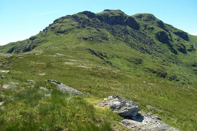
Ben Donich
Natural landmarks · 0.0 km

Glen Croe
Gorges · 2.5 km
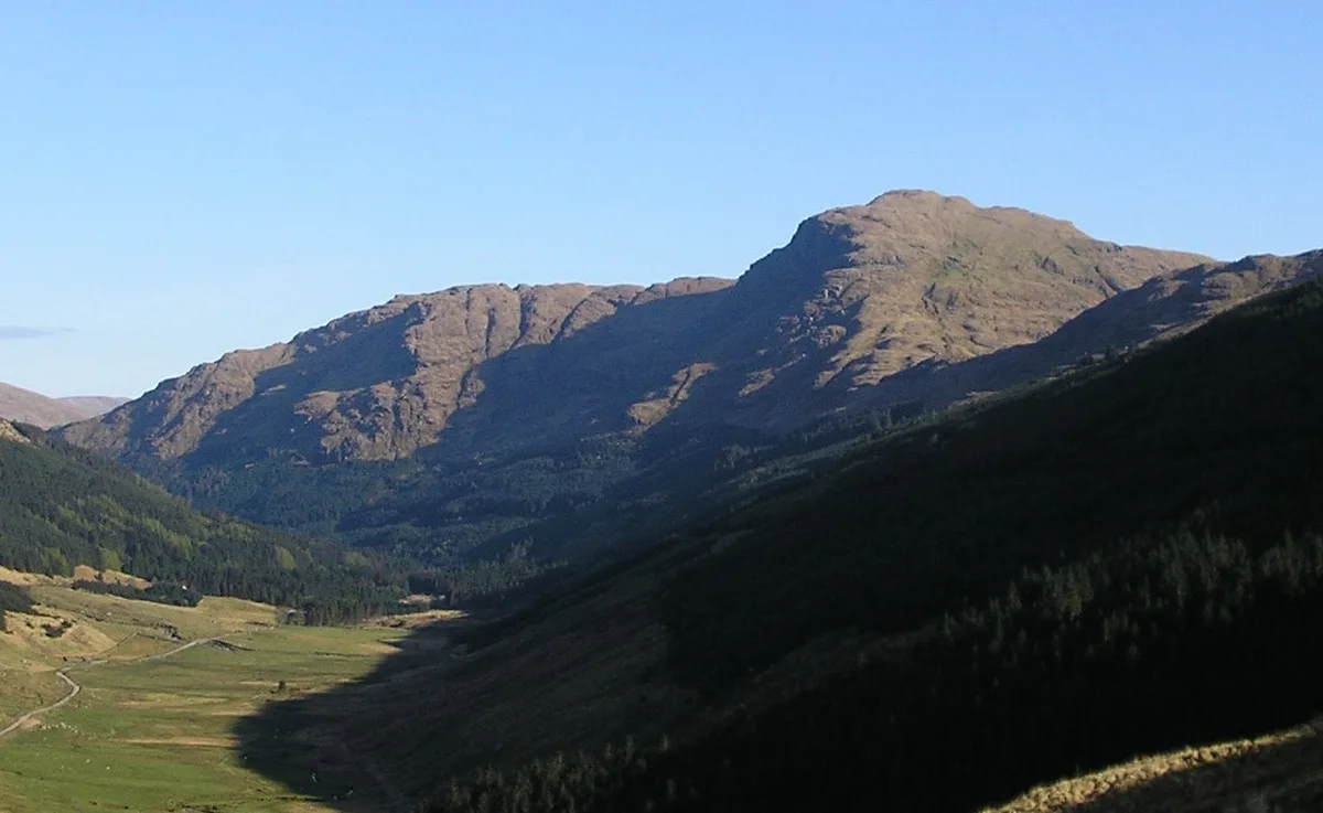
The Brack
Natural landmarks · 3.0 km
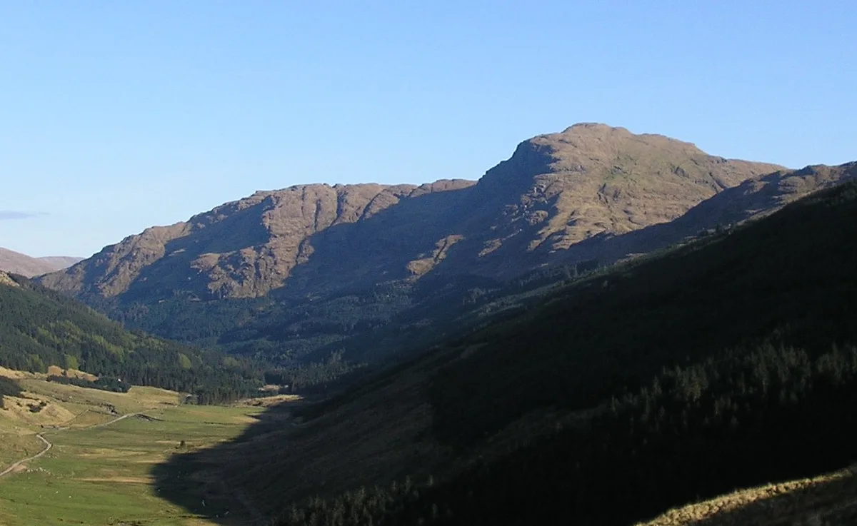
The Brack
Mountains & hills · 3.0 km

Lochgoilhead Bridge
Historic bridges · 3.2 km

Rest And Be Thankful Memorial Stone, Glen Croe
Memorials & monuments · 3.2 km
Rest And Be Thankful Memorial Stone
Memorials & monuments · 3.2 km

Monadh Beag
Mountains & hills · 3.2 km

Rest And Be Thankful
Viewpoints · 3.3 km

Lochgoilhead Scout Camp
Campsites · 3.3 km

A83 road
Reservoirs & lochs · 3.4 km

The Steeple
Mountains & hills · 3.5 km
Nearby
📷 3Natural landmarks · Central Scotland
Ben Donich
Ben Donich — mountain in Argyll and Bute, Scotland, UK.
📷 5📷 3Natural landmarks · Central Scotland
The Brack
The Brack — mountain in Argyll and Bute, Scotland, UK.
📷 3📷 5Historic bridges · Central Scotland
Lochgoilhead Bridge
Lochgoilhead Bridge — category B listed building-listed bridge in scotland-highlands, United Kingdom.
📷 5Memorials & monuments · Central Scotland
Rest And Be Thankful Memorial Stone, Glen Croe
Rest And Be Thankful Memorial Stone, Glen Croe — category C listed building-listed memorial in scotland-highlands, United Kingdom.
Where to eat & stay near Ben Donich
Places to stay
📷 5Campsites · Central Scotland
Lochgoilhead Scout Camp
Lochgoilhead Scout Camp — a campsite in scotland highlands.
 📷 5
📷 5Caravan parks · Central Scotland
Honeymoon Bridge
Honeymoon Bridge — a caravan park in scotland highlands.
 📷 5
📷 5Caravan parks · Central Scotland
Lochgoilhead Holiday Park
Lochgoilhead Holiday Park — a caravan park in scotland highlands.
 📷 5
📷 5Caravan parks · Central Scotland
Stay the Night Ardgartan
Stay the Night Ardgartan — a caravan park in scotland highlands.
 📷 3
📷 3Campsites · Central Scotland
Coilessan camping permit area March-September
Coilessan camping permit area March-September — a campsite in scotland highlands.
 📷 5
📷 5Places to eat & drink
 📷 5
📷 5Historic pubs · Central Scotland
The Drovers Inn
The Drovers Inn — Historic pub — listed building or notable heritage status.
 📷 7
📷 7Historic pubs · Central Scotland
Ardencaple Hotel Including Former Stables, Rhu Road Lower, Rhu
Ardencaple Hotel Including Former Stables, Rhu Road Lower, Rhu in Scotland Central, United Kingdom.
 📷 3
📷 3Historic pubs · Central Scotland
Ardbrecknish House
Ardbrecknish House — Historic pub — listed building or notable heritage status.
More mountains in this region
 📷 3
📷 3 📷 3
📷 3 📷 3
📷 3Mountains & hills · Central Scotland
An Caisteal
An Caisteal — Named summit at 995 m.
 📷 5
📷 5Frequently asked questions
- Where is Ben Donich?
- Ben Donich is in the Scottish Highlands, United Kingdom.
- What is Ben Donich?
- Ben Donich — Named summit at 847 m.
- How do I get to Ben Donich?
- The nearest railway station is Arrochar and Tarbet, about 9.3 km away. Its coordinates are 56.1979°, -4.8733°.
- Is Ben Donich free to visit?
- Yes, Ben Donich is free to enter.