
Reservoirs & lochs · Central Scotland
A83 road
Also known as: Rathad A83
In or near Cairndow.
A83 road in Scotland Islands, United Kingdom.

sylvia duckworth — CC BY-SA 2.0 via Wikimedia Commons licence

Plan your visit
- Typical visit
- 1 h–2.5 h
- Nearest railway station
- Arrochar and Tarbet · 8.7 km
- Free entry
- Dog-friendly
About
A83 road is a place of interest in Scotland Islands, United Kingdom — drawn from open-data sources for visitor reference. See the linked Wikipedia article for the full description.
Photo gallery
See it from the streetimagery from 2024
Imagery © Mapillary contributors, CC BY-SA 4.0
Official information
The A83 road is a scenic route that stretches across central Scotland, offering stunning landscapes including mountains, lochs, and glens. It serves as a gateway to various attractions in the Loch Lomond and Trossachs National Park, making it a popular choice for travelers exploring the region.
From the Wikipedia article
The A83 is a major road in the south of Argyll and Bute, Scotland, running from Tarbet, on the western shore of Loch Lomond, where it splits from the A82, to Campbeltown at the southern end of the Kintyre peninsula. The road is best known for its section across the Rest and be Thankful pass through the Arrochar Alps between the heads of Loch Long and Loch Fyne.
Excerpt from Wikipedia under CC BY-SA 4.0. See the source article linked in Sources below.
- Coordinates
- 56.2267, -4.8569
- Nearest railway station
- Arrochar and Tarbet — 8.7 km
- Official site
- www.visitscotland.com
Sources
Other places nearby

Rest And Be Thankful
Viewpoints · 0.1 km

Rest And Be Thankful Memorial Stone
Memorials & monuments · 0.1 km
Rest And Be Thankful Memorial Stone, Glen Croe
Memorials & monuments · 0.2 km

Loch Restil
National parks · 0.5 km
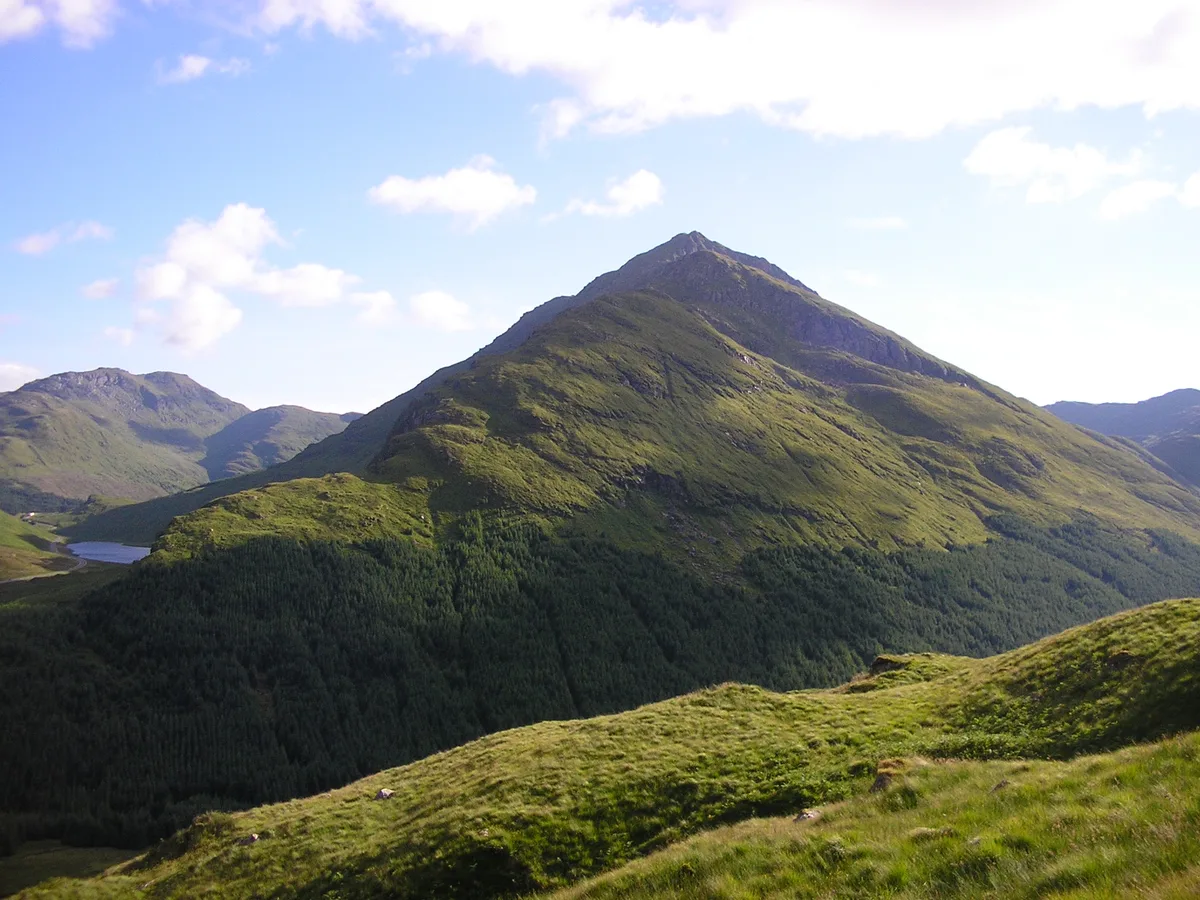
Beinn an Lochain
Mountains & hills · 1.2 km
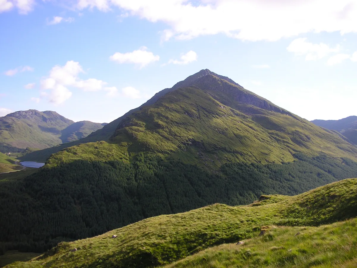
Beinn an Lochain
Natural landmarks · 1.3 km
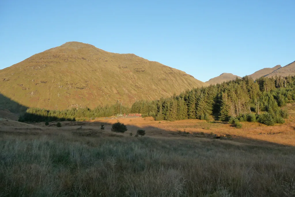
Beinn Luibhean
Mountains & hills · 1.4 km
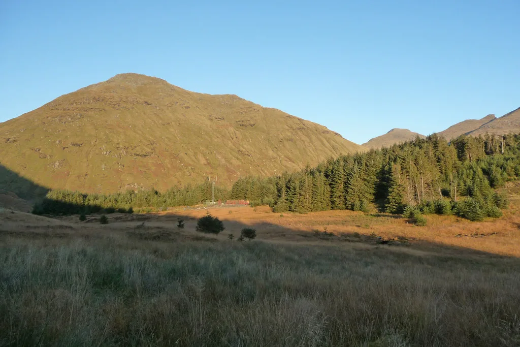
Beinn Luibhean
Natural landmarks · 1.4 km

Easain Duibh
Waterfalls · 1.5 km

Butter Bridge
Historic bridges · 2.1 km

Glen Kinglas
Castles · 2.6 km

Arrochar Alps
National parks · 2.7 km
Nearby
📷 4Viewpoints · Central Scotland
Rest And Be Thankful
Rest And Be Thankful is a viewpoint in the United Kingdom.
📷 3Memorials & monuments · Central Scotland
Rest And Be Thankful Memorial Stone
Rest And Be Thankful Memorial Stone — a memorial in scotland-highlands, United Kingdom.
📷 5Memorials & monuments · Central Scotland
Rest And Be Thankful Memorial Stone, Glen Croe
Rest And Be Thankful Memorial Stone, Glen Croe — category C listed building-listed memorial in scotland-highlands, United Kingdom.
📷 5📷 3📷 3Natural landmarks · Central Scotland
Beinn an Lochain
Beinn an Lochain — 901m high mountain in Argyll and Bute, Scotland, UK.
Where to eat & stay near A83 road
Places to stay
 📷 5
📷 5Caravan parks · Central Scotland
Honeymoon Bridge
Honeymoon Bridge — a caravan park in scotland highlands.
 📷 5
📷 5Caravan parks · Central Scotland
Stay the Night Ardgartan
Stay the Night Ardgartan — a caravan park in scotland highlands.
 📷 5
📷 5Campsites · Central Scotland
Lochgoilhead Scout Camp
Lochgoilhead Scout Camp — a campsite in scotland highlands.
 📷 3
📷 3Campsites · Central Scotland
Coilessan camping permit area March-September
Coilessan camping permit area March-September — a campsite in scotland highlands.
 📷 5
📷 5Caravan parks · Central Scotland
Lochgoilhead Holiday Park
Lochgoilhead Holiday Park — a caravan park in scotland highlands.
 📷 5
📷 5Campsites · Central Scotland
MacTavish Campsite
MacTavish Campsite — a campsite in scotland highlands.
Places to eat & drink
 📷 5
📷 5Historic pubs · Central Scotland
The Drovers Inn
The Drovers Inn — Historic pub — listed building or notable heritage status.
 📷 3
📷 3Historic pubs · Central Scotland
Ardbrecknish House
Ardbrecknish House — Historic pub — listed building or notable heritage status.
 📷 7
📷 7Historic pubs · Central Scotland
Ardencaple Hotel Including Former Stables, Rhu Road Lower, Rhu
Ardencaple Hotel Including Former Stables, Rhu Road Lower, Rhu in Scotland Central, United Kingdom.
More places in this region
 📷 5
📷 5 📷 3
📷 3Reservoirs & lochs · Central Scotland
Allt na Lairige Reservoir
Allt na Lairige Reservoir — 1956 artificial lake in Argyll and Bute, Scotland, UK, on and outflowing west to Allt na Lairige.
.jpg?width=1200) 📷 3
📷 3Reservoirs & lochs · Central Scotland
Ardlussa Fishing Loch
Ardlussa Fishing Loch — 1900 artificial lake on Jura, Argyll and Bute, Scotland, UK, on the Lussa River.
 📷 3
📷 3Reservoirs & lochs · Central Scotland
Asgog Loch
Asgog Loch — lake dammed as a reservoir in Argyll and Bute, Scotland, UK, outflows east via a watercourse to Allt Osda.
Frequently asked questions
- Where is A83 road?
- A83 road is in the Scottish Highlands, United Kingdom.
- What is A83 road?
- A83 road in Scotland Islands, United Kingdom.
- How do I get to A83 road?
- The nearest railway station is Arrochar and Tarbet, about 8.7 km away. Its coordinates are 56.2267°, -4.8569°.
- Is A83 road free to visit?
- Yes, A83 road is free to enter.