
Natural landmarks · Central Scotland
The Brack
In or near Tarbet.
The Brack — mountain in Argyll and Bute, Scotland, UK.

Wikimedia Commons contributors — see linked file page for photographer and licence licence

Plan your visit
- Typical visit
- 1 h–2 h
- Nearest railway station
- Arrochar and Tarbet · 6.8 km
- Free entry
- Dog-friendly
Getting there & planning your visit
To visit The Brack in the Scottish Highlands, the nearest railway station is Arrochar and Tarbet, which is 6.8 km away. Entry is free.
About
The Brack is a named natural landmark in the United Kingdom. Part of Arrochar Alps. Wikidata describes it as: "mountain in Argyll and Bute, Scotland, UK". Coordinates: 56.1872°, -4.8296°.
Photo gallery
Official information
The Brack is a hill located in Ardgartan, known for its scenic views and hiking opportunities. Visitors can explore various paths leading to the summit, often combined with ascents of nearby hills like Cnoc Coinnich.
From the Wikipedia article
The Brack is a mountain, located in the Arrochar Alps, on the south side of Glen Croe, near Loch Goil in Argyll and Bute in Scotland. The Brack has two summits: the lower peak to the southeast, Cruach Fhiarach, can be seen from the shores of Loch Long; while the main peak is seen from Glen Croe and Loch Goil. The Brack is in the Ardgoil range, which is located on a peninsula bounded on the west by Loch Goil and Loch Long on the east, both sea lochs being arms of the Firth of Clyde. The Brack is connected by cols to its neighbouring Corbetts, Ben Donich and Cnoc Còinnich, and is surrounded by a number of higher peaks. It is classified as a Corbett in its own right. The Loch Lomond and Cowal Way passes to the south of the peak, over the bealach separating The Brack from Cnoc Còinnich. The Brack is usually climbed from Glen Croe, often in conjunction with Ben Donich. A traverse of the mountain can also be made by linking the direct ascent from Glen Croe with a descent via the south west ridge to the head of the Coilessan Glen. It may also be climbed from Lochgoilhead. Glen Croe, the Arrochar Alps, Ardgartan and Loch Goil are home to pine martens and eagles because of the rugged terrain.
Excerpt from Wikipedia under CC BY-SA 4.0. See the source article linked in Sources below.
- Coordinates
- 56.1872, -4.8296
- Address
- Argyll and Bute, Scotland
- Nearest railway station
- Arrochar and Tarbet — 6.8 km
Sources
- wikidata: Q7719786 (CC0)
- wikipedia: The Brack (CC BY-SA 4.0)
- commons: The brack.JPG (CC BY-SA 4.0)
Other places nearby
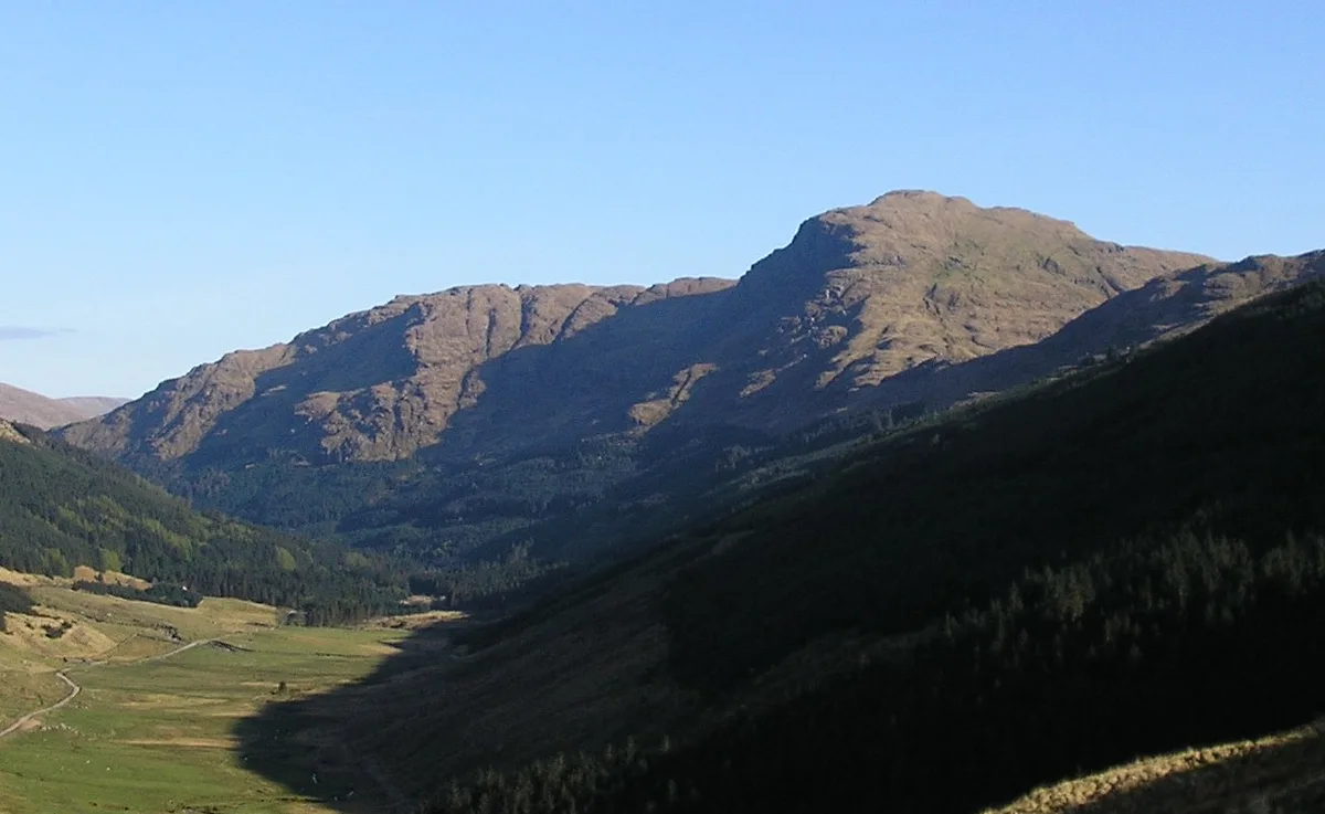
The Brack
Mountains & hills · 0.1 km

Cruach Fhiarach
Mountains & hills · 1.1 km

Glen Croe
Gorges · 1.4 km

Glen Croe
Reservoirs & lochs · 1.6 km

Cat Craig Loop
Mountain bike trails · 1.7 km

Honeymoon Bridge
Caravan parks · 1.8 km

Ardgartan Peninsula Circuit
Mountain bike trails · 2.4 km

Stay the Night Ardgartan
Caravan parks · 2.5 km
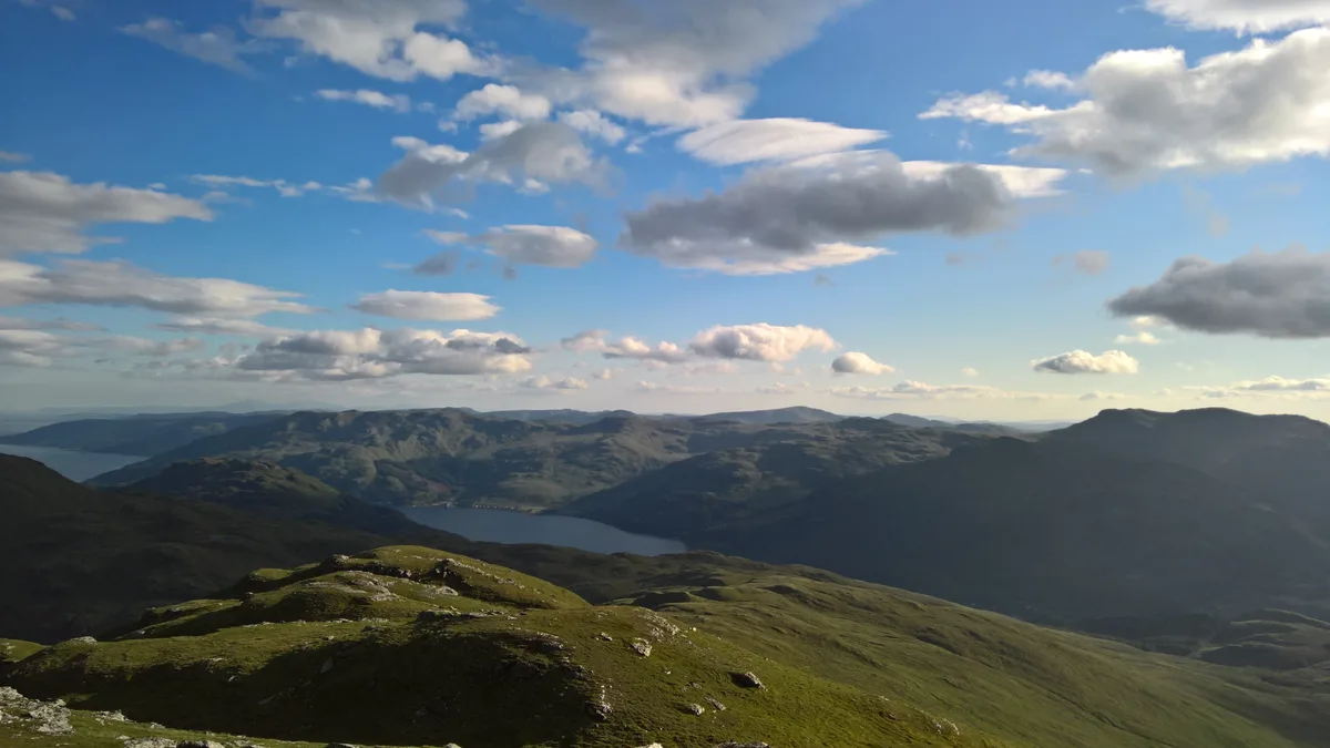
Cnoc Coinnich
Mountains & hills · 2.5 km
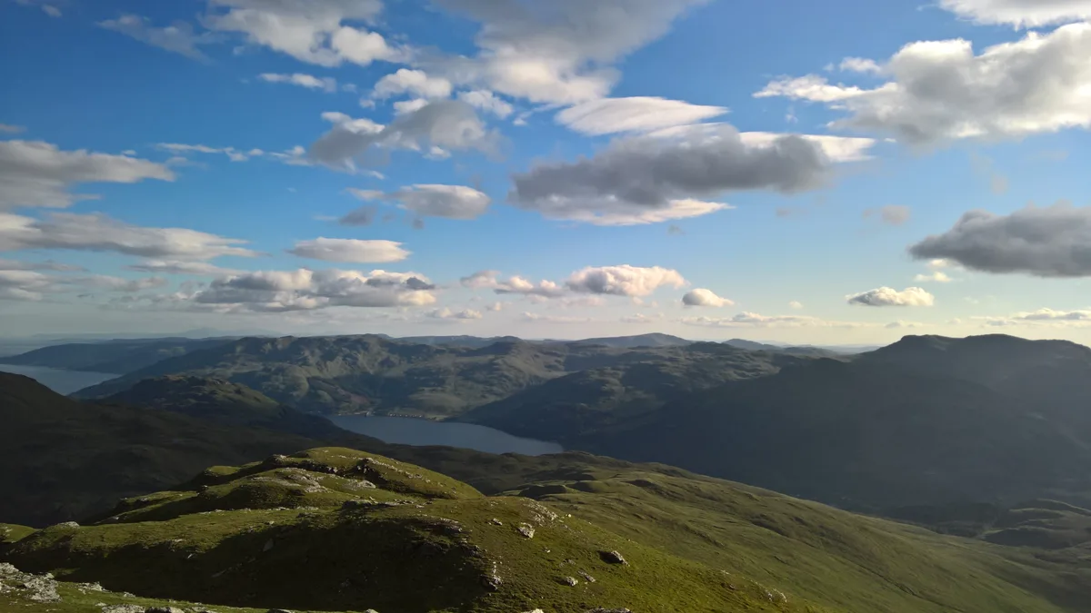
Cnoc Coinnich
Natural landmarks · 2.5 km

Coilessan camping permit area March-September
Campsites · 2.6 km

Ardgartan
National parks · 2.9 km
Nearby
📷 3📷 5Mountains & hills · Central Scotland
Cruach Fhiarach
Cruach Fhiarach — mountain in scotland highlands. Elevation: 643 m.
📷 5📷 5📷 5Mountain bike trails · Central Scotland
Cat Craig Loop
Cat Craig Loop — a mtb trail in scotland highlands.
📷 5Caravan parks · Central Scotland
Honeymoon Bridge
Honeymoon Bridge — a caravan park in scotland highlands.
Where to eat & stay near The Brack
Places to stay
📷 5Caravan parks · Central Scotland
Honeymoon Bridge
Honeymoon Bridge — a caravan park in scotland highlands.
📷 5Caravan parks · Central Scotland
Stay the Night Ardgartan
Stay the Night Ardgartan — a caravan park in scotland highlands.
📷 3Campsites · Central Scotland
Coilessan camping permit area March-September
Coilessan camping permit area March-September — a campsite in scotland highlands.
 📷 5
📷 5Campsites · Central Scotland
Lochgoilhead Scout Camp
Lochgoilhead Scout Camp — a campsite in scotland highlands.
 📷 5
📷 5 📷 5
📷 5Caravan parks · Central Scotland
Lochgoilhead Holiday Park
Lochgoilhead Holiday Park — a caravan park in scotland highlands.
Places to eat & drink
 📷 5
📷 5Historic pubs · Central Scotland
The Drovers Inn
The Drovers Inn — Historic pub — listed building or notable heritage status.
 📷 7
📷 7Historic pubs · Central Scotland
Ardencaple Hotel Including Former Stables, Rhu Road Lower, Rhu
Ardencaple Hotel Including Former Stables, Rhu Road Lower, Rhu in Scotland Central, United Kingdom.
More natural landmarks in this region
 📷 4
📷 4Natural landmarks · Central Scotland
Blackadder Water
Blackadder Water in England North East, United Kingdom.
 📷 3
📷 3Natural landmarks · Central Scotland
A6105 road
A6105 road in England North East, United Kingdom.
 📷 3
📷 3 📷 3
📷 3Frequently asked questions
- Where is The Brack?
- The Brack is in the Scottish Highlands, United Kingdom.
- What is The Brack?
- The Brack — mountain in Argyll and Bute, Scotland, UK.
- How do I get to The Brack?
- The nearest railway station is Arrochar and Tarbet, about 6.8 km away. Its coordinates are 56.1872°, -4.8296°.
- Is The Brack free to visit?
- Yes, The Brack is free to enter.
- How do I get to The Brack?
- The nearest railway station is Arrochar and Tarbet, about 6.8 km away.