
Natural landmarks · Scottish Highlands
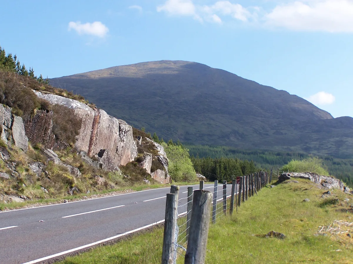
Beinn a' Chaorainn
Beinn a' Chaorainn — 1052m high mountain in Highland, Scotland, UK.

Wikimedia Commons contributors — see linked file page for photographer and licence licence

Plan your visit
- Typical visit
- 1 h–2 h
- Nearest railway station
- Tulloch · 5.7 km
- Free entry
- Dog-friendly
About
Beinn a' Chaorainn is a named natural landmark in the United Kingdom. Wikidata describes it as: "1052m high mountain in Highland, Scotland, UK". Coordinates: 56.9286°, -4.6536°.
Photo gallery
Official information
Beinn a' Chaorainn is a mountain located in Glen Spean, featuring a straightforward north-south ridge with three summits. Visitors can enjoy scenic views and various hiking routes, including the option to combine it with nearby Munros for a more challenging experience.
From the Wikipedia article
Beinn a' Chaorainn is a Scottish mountain situated on the northern side of Glen Spean in the Lochaber region of the Highland Council area. The mountain which is located 30 km east-northeast of Fort William is one of several of the same name in the Scottish Highlands and should not be confused with another well known Beinn a' Chaorainn in the Cairngorms.
Excerpt from Wikipedia under CC BY-SA 4.0. See the source article linked in Sources below.
Background
Description
Beinn a’ Chaorainn reaches a height of 1052 metres (3451 feet) and qualifies as both a Munro and a Marilyn. It stands in a section of the Grampian Mountains often known as the Loch Laggan Hills these include the Creag Meagaidh range five km to the NE and the adjoining Munro of Beinn Teallach which is just over two km to the west. Beinn a’ Chaorainn is usually climbed in conjunction with Beinn Teallach in a 13 km horseshoe walk around the Allt a’ Chaorainn, starting at Roughburn on the A86 road. The mountains name translates from the Gaelic language as “Mountain of the Rowan Tree”.
Sourced from Wikipedia under CC BY-SA 4.0.
- Coordinates
- 56.9286, -4.6536
- Address
- Lochaber, Highland, Scotland
- Nearest railway station
- Tulloch — 5.7 km
- Official site
- www.walkhighlands.co.uk
Sources
- wikidata: Q4881347 (CC0)
- wikipedia: Beinn a' Chaorainn (Glen Spean) (CC BY-SA 4.0)
- commons: Beinn a Chaorainn from the A86.jpg (CC BY-SA 4.0)
Other places nearby
Beinn a' Chaorainn
Mountains & hills · 0.0 km

Beinn a' Chaorainn South Top
Mountains & hills · 0.4 km

Beinn a' Chaorainn North Top
Mountains & hills · 0.7 km
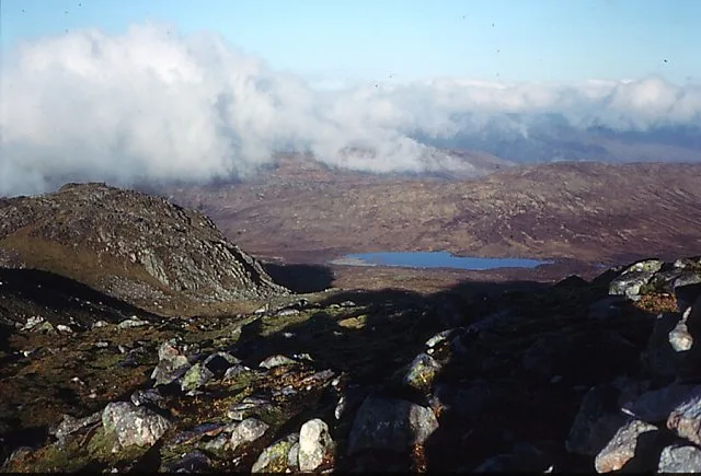
Beinn Teallach
Mountains & hills · 2.6 km

Creag Meagaidh - An Cearcallach
Mountains & hills · 3.6 km

Creag Tharsuinn
Mountains & hills · 3.9 km

Memorial Stone
Memorials & monuments · 4.0 km

Creag Tharsuinn
Mountains & hills · 4.0 km
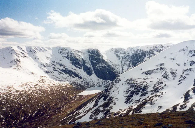
Creag Meagaidh
Natural landmarks · 4.1 km
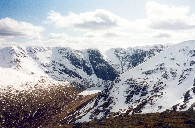
Creag Mèagaidh
Mountains & hills · 4.1 km

Tom Ban
Mountains & hills · 4.4 km

Meall a' Mheanbh-chruidh
Mountains & hills · 4.4 km
Nearby
📷 3Mountains & hills · Scottish Highlands
Beinn a' Chaorainn
Beinn a' Chaorainn — Named summit at 1052 m.
📷 3Mountains & hills · Scottish Highlands
Beinn a' Chaorainn South Top
Beinn a' Chaorainn South Top — a mountain in scotland-highlands, United Kingdom.
📷 3Mountains & hills · Scottish Highlands
Beinn a' Chaorainn North Top
Beinn a' Chaorainn North Top — a mountain in scotland-highlands, United Kingdom.
📷 3Mountains & hills · Scottish Highlands
Beinn Teallach
Beinn Teallach — Named summit at 914.6 m.
📷 3Mountains & hills · Scottish Highlands
Creag Meagaidh - An Cearcallach
Creag Meagaidh - An Cearcallach — a mountain in scotland-highlands, United Kingdom.
📷 5Mountains & hills · Scottish Highlands
Creag Tharsuinn
Creag Tharsuinn — mountain in scotland highlands. Elevation: 719 m.
Where to eat & stay near Beinn a' Chaorainn
Places to stay
 📷 5
📷 5 📷 5
📷 5Campsites · Scottish Highlands
Bunroy Caravan & Camping Park
Bunroy Caravan & Camping Park — a campsite in scotland highlands.
 📷 5
📷 5 📷 5
📷 5Campsites · Scottish Highlands
Insh Scout Campsite
Insh Scout Campsite — a campsite in scotland highlands.
 📷 5
📷 5Campsites · Scottish Highlands
Laggan Locks informal campsite
Laggan Locks informal campsite — a campsite in scotland highlands.
 📷 5
📷 5Hostels · Scottish Highlands
Great Glen Hostel
Great Glen Hostel — a hostel in scotland highlands.
Places to eat & drink
 📷 5
📷 5Historic pubs · Scottish Highlands
The Lovat Hotel
The Lovat Hotel in Scotland Highlands, United Kingdom.
More natural landmarks in this region
 Flagship📷 3
Natural landmarks · Scottish Highlands
Dunalastair Water
Dunalastair Water — lake in Perth and Kinross, Scotland, UK, on the River Tummel.
 Flagship📷 3
Natural landmarks · Scottish Highlands
Loch Arkaig
Loch Arkaig — lake in Highland, Scotland, UK, outflows east to River Arkaig.
 Flagship📷 3
Natural landmarks · Scottish Highlands
Loch Assynt
Loch Assynt — lake in Highland, Scotland, UK, outflows to the River Inver and Loch na Garbh Uidhe.
 Flagship📷 5
Natural landmarks · Scottish Highlands
Loch Eilt
Loch Eilt — lake in Highland, Scotland, UK, outflows west to River Ailort.
Frequently asked questions
- Where is Beinn a' Chaorainn?
- Beinn a' Chaorainn is in the Scottish Highlands, United Kingdom.
- What is Beinn a' Chaorainn?
- Beinn a' Chaorainn — 1052m high mountain in Highland, Scotland, UK.
- How do I get to Beinn a' Chaorainn?
- The nearest railway station is Tulloch, about 5.7 km away. Its coordinates are 56.9286°, -4.6536°.
- Is Beinn a' Chaorainn free to visit?
- Yes, Beinn a' Chaorainn is free to enter.
- How do I get to Beinn a' Chaorainn?
- The nearest railway station is Tulloch, about 5.7 km away.