
Natural landmarks · Scottish Highlands
Beinn a' Chaorainn
Also known as: Beinn a'Chaorainn (Cairngorms)
Beinn a' Chaorainn — 1083m mountain in Aberdeenshire and Moray, Scotland, UK.

Wikimedia Commons contributors — see linked file page for photographer and licence licence

Plan your visit
- Typical visit
- 1 h–2 h
- Nearest railway station
- Ptarmigan Station · 5.3 km
- Free entry
- Dog-friendly
Getting there & planning your visit
To visit Beinn a' Chaorainn in the Scottish Highlands, the nearest railway station is Ptarmigan Station, located 5.3 km away. Entry to the site is free.
About
Beinn a' Chaorainn is a named natural landmark in the United Kingdom. Wikidata describes it as: "1083m mountain in Aberdeenshire and Moray, Scotland, UK". Coordinates: 57.0933°, -3.5774°.
Photo gallery
Official information
Beinn a' Chaorainn is a mountain located in the Cairngorms, known for its steep slopes and expansive mossy plateau. It offers various routes for ascent, primarily from the Lairig an Laoigh pass and the Fords of Avon, making it accessible from multiple directions.
From the Wikipedia article
Beinn a' Chaorainn is a Scottish mountain in the heart of the Cairngorms range. It is quite a remote hill, being located roughly 19 kilometres south east of Aviemore and 14 kilometres north west of Braemar. The mountain stands on the border of the Moray and Aberdeenshire council areas. The hill's name used to be spelt as Beinn a' Chaoruinn, but the spelling of the word caorunn (in genitive case here) was altered to caorann by the Gaelic Orthographic Convention's attempts to standardise spelling.
Excerpt from Wikipedia under CC BY-SA 4.0. See the source article linked in Sources below.
Background
Description
The mountain is a pointed hill, however it is not particularly conspicuous in views being overshadowed by the more imposing and impressive peaks of the Cairngorms which stand nearby. The hill is located at the head of Glen Derry and faces its higher and better-known neighbour Beinn Mheadhoin across the Lairig an Laoigh (The Pass of the Calves). Beinn a' Chaorainn reaches a height of 1083 m and qualifies as both a Munro and a Marilyn. The hill's name translates from the Gaelic as “Mountain of the Rowan tree” although today the hill seems bare of any trees. The mountain should not be confused with another Munro also known as Beinn a' Chaorainn which is in Glen Spean above Loch Laggan.
Sourced from Wikipedia under CC BY-SA 4.0.
- Coordinates
- 57.0933, -3.5774
- Address
- Cairngorms, Scotland
- Nearest railway station
- Ptarmigan Station — 5.3 km
- Official site
- www.walkhighlands.co.uk
Sources
- wikidata: Q3403899 (CC0)
- wikipedia: Beinn a' Chaorainn (Cairngorms) (CC BY-SA 4.0)
- commons: Beinn a'Chaorainn from Derry Cairngorm.jpg (CC BY-SA 4.0)
Other places nearby
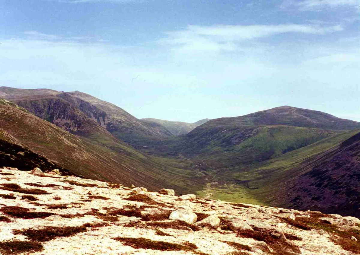
Beinn a' Chaorainn
Mountains & hills · 0.0 km

Dubh Lochan
Lakes · 0.8 km

Beinn a' Chaorainn Bheag
Mountains & hills · 1.3 km

Beinn a' Chaorainn Bheag
Mountains & hills · 1.3 km
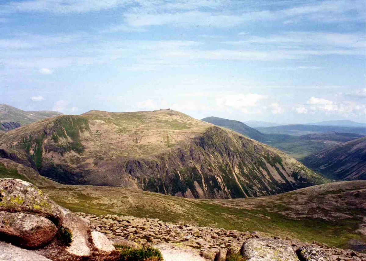
Beinn Mheadhoin
Natural landmarks · 2.1 km
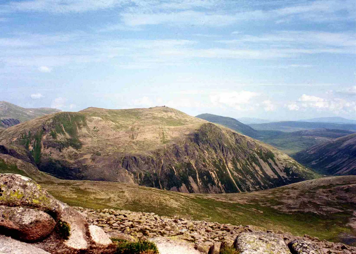
Beinn Mheadhoin
Mountains & hills · 2.1 km

Stob Coire Etchachan
Mountains & hills · 2.2 km

Stob Coire Etchachan
Mountains & hills · 2.2 km

Beinn Mheadhoin SW Top
Mountains & hills · 2.7 km

Beinn Mheadhoin SW Top
Mountains & hills · 2.7 km

Sgurr an Lochan Uaine
Mountains & hills · 3.0 km

Sgurr an Lochan Uaine
Mountains & hills · 3.0 km
Nearby
📷 3Mountains & hills · Scottish Highlands
Beinn a' Chaorainn
Beinn a' Chaorainn — Named summit at 1082 m.
📷 5📷 3Mountains & hills · Scottish Highlands
Beinn a' Chaorainn Bheag
Beinn a' Chaorainn Bheag — a mountain in scotland-highlands, United Kingdom.
📷 5Mountains & hills · Scottish Highlands
Beinn a' Chaorainn Bheag
Beinn a' Chaorainn Bheag — mountain in scotland highlands. Elevation: 1013 m.
📷 3Natural landmarks · Scottish Highlands
Beinn Mheadhoin
Beinn Mheadhoin — 1182m high mountain in Highland, Scotland, UK.
📷 3Mountains & hills · Scottish Highlands
Beinn Mheadhoin
Beinn Mheadhoin — Named summit at 1182 m.
Where to eat & stay near Beinn a' Chaorainn
Places to stay
 📷 5
📷 5Campsites · Scottish Highlands
Glenmore Camp Site
Glenmore Camp Site — a campsite in scotland highlands.
📷 5Hostels · Scottish Highlands
Cairngorm Lodge Youth Hostel
Cairngorm Lodge Youth Hostel — a hostel in scotland highlands.
 📷 5
📷 5Hostels · Scottish Highlands
Rucksacks Braemar
Rucksacks Braemar — a hostel in scotland highlands.
 📷 7
📷 7Hotels · Scottish Highlands
Fife Arms Hotel
Fife Arms Hotel — a hotel in scotland highlands.
 📷 7
📷 7Hotels · Scottish Highlands
Invercauld Arms Hotel
Invercauld Arms Hotel — a hotel in scotland highlands.
 📷 5
📷 5Caravan parks · Scottish Highlands
Braemar Caravan Park
Braemar Caravan Park — a caravan park in scotland highlands.
More natural landmarks in this region
 Flagship📷 3
Natural landmarks · Scottish Highlands
Dunalastair Water
Dunalastair Water — lake in Perth and Kinross, Scotland, UK, on the River Tummel.
 Flagship📷 3
Natural landmarks · Scottish Highlands
Loch Arkaig
Loch Arkaig — lake in Highland, Scotland, UK, outflows east to River Arkaig.
 Flagship📷 3
Natural landmarks · Scottish Highlands
Loch Assynt
Loch Assynt — lake in Highland, Scotland, UK, outflows to the River Inver and Loch na Garbh Uidhe.
 Flagship📷 5
Natural landmarks · Scottish Highlands
Loch Eilt
Loch Eilt — lake in Highland, Scotland, UK, outflows west to River Ailort.
Frequently asked questions
- Where is Beinn a' Chaorainn?
- Beinn a' Chaorainn is in the Scottish Highlands, United Kingdom.
- What is Beinn a' Chaorainn?
- Beinn a' Chaorainn — 1083m mountain in Aberdeenshire and Moray, Scotland, UK.
- How do I get to Beinn a' Chaorainn?
- The nearest railway station is Ptarmigan Station, about 5.3 km away. Its coordinates are 57.0933°, -3.5774°.
- Is Beinn a' Chaorainn free to visit?
- Yes, Beinn a' Chaorainn is free to enter.
- How do I get to Beinn a' Chaorainn?
- The nearest railway station is Ptarmigan Station, about 5.3 km away.