Canals · South East England
Baybridge Canal
Baybridge Canal is a canal in the United Kingdom.

Wikimedia Commons contributors — see linked file page for photographer and licence licence
Plan your visit
- Typical visit
- 1 h–2 h
- Nearest railway station
- Christ's Hospital · 9.2 km
- Free entry
- Dog-friendly
About
Baybridge Canal is a canal in the United Kingdom. Coordinates: 50.9718°, -0.3263°. This entry is part of The Great Britain Guide, a free, ad-free, open-data tourist directory.
Photo gallery
From the Wikipedia article
The Baybridge Canal was a short canal built entirely within the parish of West Grinstead in the English county of Sussex. It opened in 1826, and closed in 1875.
Excerpt from Wikipedia under CC BY-SA 4.0. See the source article linked in Sources below.
Background
History
The River Adur is formed when the Western Adur and the Eastern Adur join near Henfield. The Western branch starts near Slinfold, and flows through Shipley and West Grinstead. The Eastern branch rises on Ditchling Common, and flows through Haywards Heath and Burgess Hill. Below the junction, the combined stream flows for 10.8 mi to reach the English Channel at the port of Shoreham-by-Sea. Under the River Adur Navigation and Drainage Act 1807 (47 Geo. 3 Sess. 2. c. cxvii), the river was improved, to aid both navigation and drainage, and barges could reach Bines Bridge on the Western Adur. Although called a canal, it was essentially a river navigation, as it followed the course of the river to…
Sourced from Wikipedia under CC BY-SA 4.0.
- Coordinates
- 50.9718, -0.3263
- County
- West Sussex
- District
- Horsham
- Parish
- West Grinstead
- Postcode
- RH13 8NF
- Parliamentary constituency
- Horsham
- Established
- 1826
- Nearest railway station
- Christ's Hospital — 9.2 km
Sources
- wikidata: Q4874385 (CC0)
- wikipedia: Baybridge Canal (CC BY-SA 4.0)
- commons: Baybridge Old Lock geograph 530668.jpg (CC BY-SA 4.0)
Other places nearby
Loading nearby places…
Nearby
 Flagship📷 10
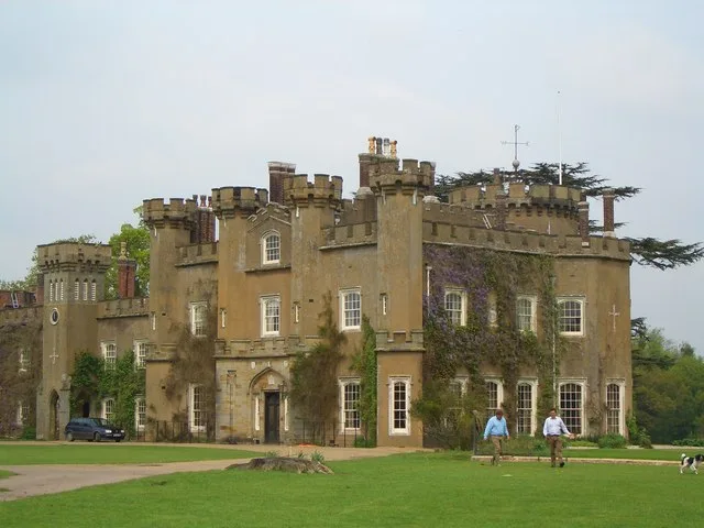
Towns & cities · South East England
West Grinstead
West Grinstead — village in West Sussex, England, UK.
 📷 5
📷 5Historic houses · South East England
Priest's House
Priest's House is a historic house in the United Kingdom.
 📷 5
📷 5Memorials & monuments · South East England
West Grinstead, Dial Post, Littleworth and Partridge Green War Memorial
West Grinstead, Dial Post, Littleworth and Partridge Green War Memorial — Grade II listed building-listed memorial in england-south-east, United Kingdom.
 📷 5
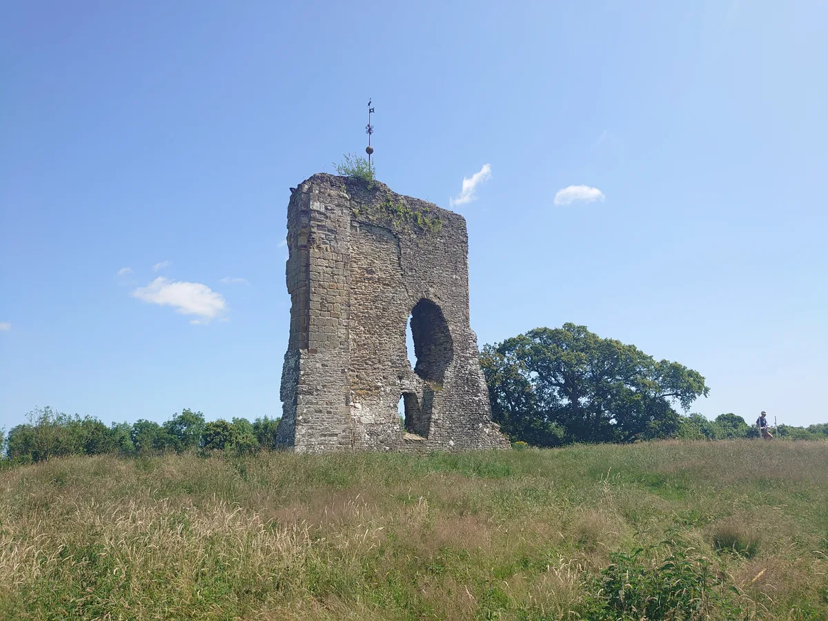
📷 5Archaeological sites · South East England
Baybridge Wharf
Baybridge Wharf — a archaeological in england-south-east, United Kingdom.
 📷 5
📷 5Hill forts · South East England
Knepp Castle
Knepp Castle — castle ruin and scheduled monument in Shipley, Horsham, West Sussex, RH13.
 📷 5
📷 5Wildlife reserves · South East England
Knepp Wildland
Knepp Wildland — English rewilding project.
More places in this region
 📷 5
📷 5Canals · South East England
Andover Canal
Andover Canal — canal in Hampshire, England, UK.
 📷 5
📷 5Canals · South East England
Basingstoke Canal
Basingstoke Canal is a canal in the United Kingdom.
 📷 5
📷 5Canals · South East England
Chichester Canal
Chichester Canal — Canal in Chichester, England.
 📷 5
📷 5Canals · South East England
Itchen Navigation
Itchen Navigation — Disused canal system in Hampshire, England.
Frequently asked questions
- Where is Baybridge Canal?
- Baybridge Canal is in West Sussex, South-East England, United Kingdom (postcode RH13 8NF), in the parish of West Grinstead.
- When was Baybridge Canal built?
- Built or established in 1826.
- Is Baybridge Canal free to visit?
- Yes, Baybridge Canal is free to enter.
- How do I get to Baybridge Canal?
- Drivers can navigate to postcode RH13 8NF. It sits within the Horsham parliamentary constituency.