Wildlife reserves · South East England
Knepp Wildland
Knepp Wildland — English rewilding project.

Wikimedia Commons contributors — see linked file page for photographer and licence licence
Plan your visit
- Typical visit
- 2 h–4 h
- Best time of year
- Autumn & winter (migration & wildfowl)
- Nearest railway station
- Christ's Hospital · 8.4 km
- Free entry
- Dog-friendly
About
Knepp Wildland is a wildlife reserve in the United Kingdom. Wikidata describes it as: "English rewilding project". Coordinates: 50.9758°, -0.3448°.
Photo gallery
From the Wikipedia article
Knepp Wildland is the first major lowland rewilding project in England. It comprises 1,400 hectares (3,500 acres) of former arable and dairy farmland in the grounds of Knepp Castle, in West Sussex. Since 2000 when the conversion from intensive agriculture started, the land now supports many rare species including turtle doves, barbastelle bats, slow-worms and barred grass snakes; it has become a major nesting site for nightingales; a breeding hotspot for purple emperor butterflies; the site of the first white stork chicks raised in the wild in England for 600 years, and is home to the first beavers living in the wild in Sussex for 400 years. On 17 November 2021, the very rare vagrant emperor dragonfly (Anax ephippiger) was discovered in one field.
Excerpt from Wikipedia under CC BY-SA 4.0. See the source article linked in Sources below.
Background
History
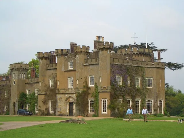
After inheriting the 3,500 acre farm at Knepp from his grandparents at the age of 21 in 1987, Sir Charles Burrell, 10th Baronet, tried for 17 years to run the farm profitably. In 2000, he decided to sell the dairy herd and farm equipment to clear debts rather than take on even more debt in yet another attempt to increase productivity. The turning-point came in 2001, when he received Countryside Stewardship funding to restore the 350 acre Repton-designed parkland around the mansion; parkland that had been ploughed since World War II. In 2001, the 370 acre Repton park around the old castle was seeded with grass and a local wild meadow seed mix; by the end of the year all the internal fences…
Description
The project uses herds of free-roaming animals including Old English longhorn cattle, Exmoor ponies, Tamworth pigs, red and fallow deer to drive habitat generation, and focuses on restoring dynamic natural processes. The project has witnessed an 'extraordinary abundance' of many rare species, including turtle doves, barbastelle bats, slow-worms and grass snakes; and is now a breeding hotspot for purple emperor butterflies and nightingales. As of 2018, a reintroduction programme of white storks to England was in its early stages on the estate, with juvenile birds being kept in a 6+1/2 acre pen until maturity, when they were released. Sussex was chosen for its strong historical associations…
Sourced from Wikipedia under CC BY-SA 4.0.
- Coordinates
- 50.9758, -0.3448
- County
- West Sussex
- District
- Horsham
- Parish
- Shipley
- Postcode
- RH13 8LH
- Parliamentary constituency
- Horsham
- Nearest railway station
- Christ's Hospital — 8.4 km
Sources
- wikidata: Q105162978 (CC0)
- wikipedia: Knepp Wildland (CC BY-SA 4.0)
- commons: Tamworth sow at Knepp Wildland.jpg (CC BY-SA 4.0)
Other places nearby
Loading nearby places…
Nearby
 📷 5
📷 5Hill forts · South East England
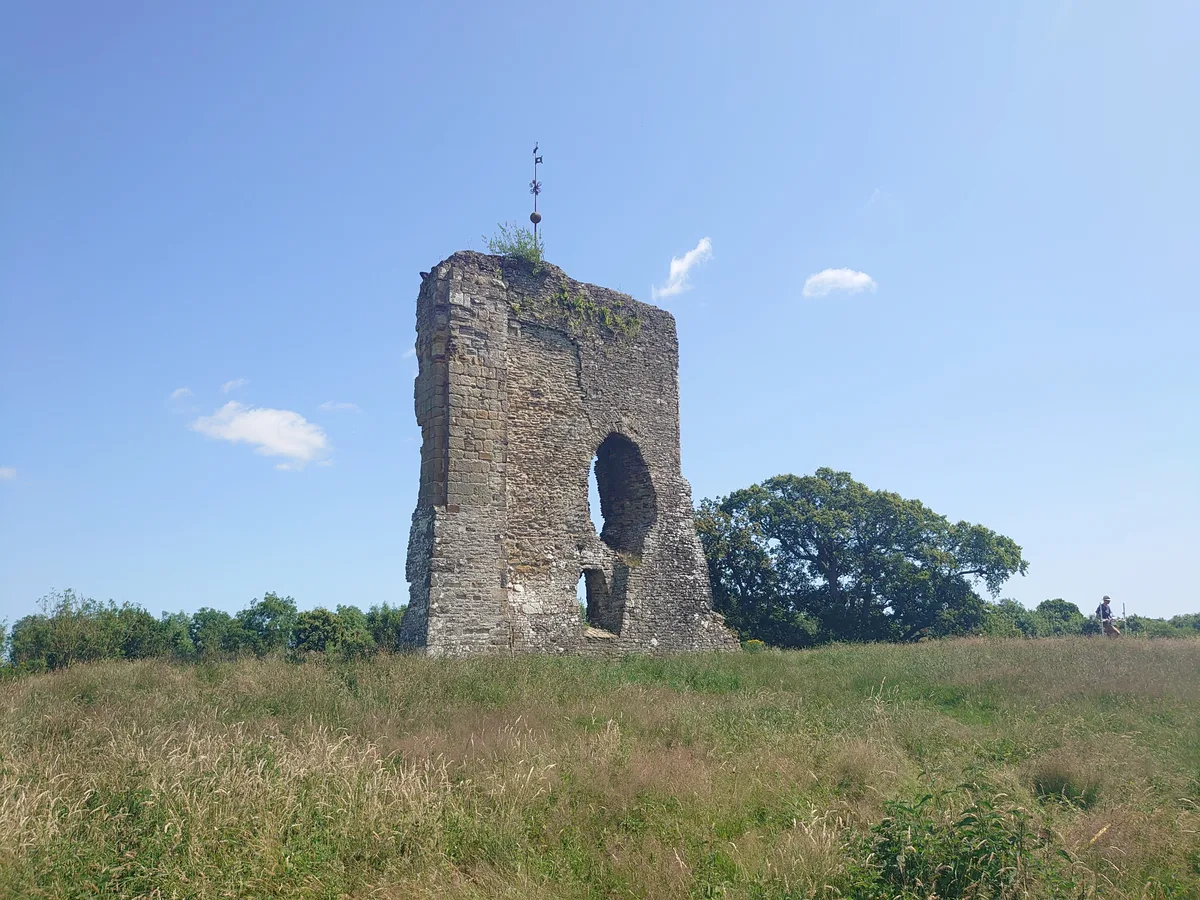
Knepp Castle
Knepp Castle — castle ruin and scheduled monument in Shipley, Horsham, West Sussex, RH13.
 📷 5
📷 5Archaeological sites · South East England
Baybridge Wharf
Baybridge Wharf — a archaeological in england-south-east, United Kingdom.
 Flagship📷 10
Towns & cities · South East England
West Grinstead
West Grinstead — village in West Sussex, England, UK.
 📷 5
📷 5Canals · South East England
Baybridge Canal
Baybridge Canal is a canal in the United Kingdom.
 📷 5
📷 5Historic houses · South East England
Priest's House
Priest's House is a historic house in the United Kingdom.
Campsites · South East England
Knepp Wildland Campsite
Knepp Wildland Campsite — a campsite in england south east.
More places in this region
 Flagship📷 10
Wildlife reserves · South East England
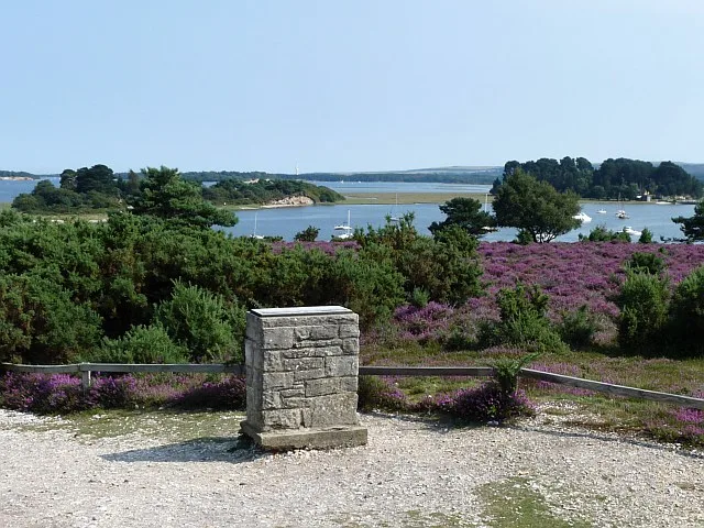
Arne RSPB reserve
Arne RSPB reserve — RSPB nature reserve in the United Kingdom.
 Flagship📷 10
Wildlife reserves · South East England
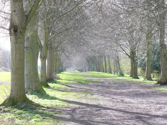
Farnham Park
Farnham Park — nature reserve in Surrey, England, UK.
 Flagship📷 10
Wildlife reserves · South East England
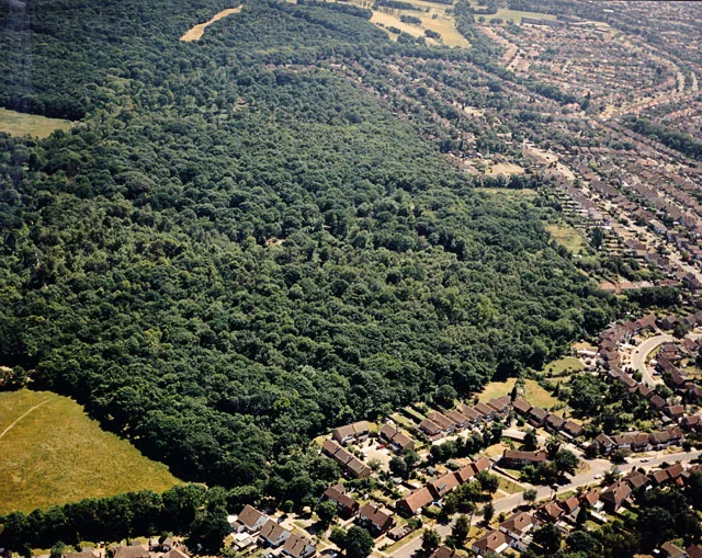
Great Wood and Dodd's Grove
Great Wood and Dodd's Grove — Essex Wildlife Trust Nature reserve.
 Flagship📷 10
Wildlife reserves · South East England
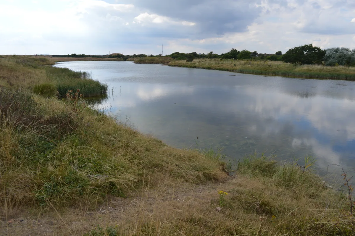
Gunners Park and Shoebury Ranges
Gunners Park and Shoebury Ranges — Essex Wildlife Trust Nature reserve.
Frequently asked questions
- Where is Knepp Wildland?
- Knepp Wildland is in West Sussex, South-East England, United Kingdom (postcode RH13 8LH), in the parish of Shipley.
- Is Knepp Wildland free to visit?
- Yes, Knepp Wildland is free to enter.
- How do I get to Knepp Wildland?
- Drivers can navigate to postcode RH13 8LH. It sits within the Horsham parliamentary constituency.
- Are dogs allowed at Knepp Wildland?
- Most wildlife reserves allow dogs on lead only, with restrictions during ground-nesting bird season (March-July). Check signage at the reserve.