
Natural landmarks · Northern Ireland
Benburb
Also known as: An Bhinn Bhorb
In or near Carrickaness.
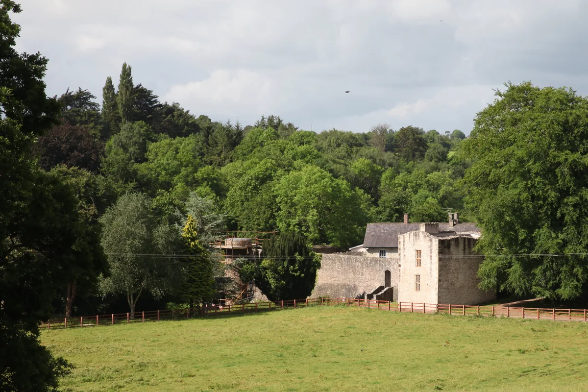
Benburb in Northern Ireland, United Kingdom.

P Flannagan — CC BY-SA 2.0 via Wikimedia Commons licence

Plan your visit
- Typical visit
- 1 h–2 h
- Free entry
- Dog-friendly
About
Benburb is a place of interest in Northern Ireland, United Kingdom — drawn from open-data sources for visitor reference. See the linked Wikipedia article for the full description.
Photo gallery
From the Wikipedia article
Benburb (from Irish Beann Borb, meaning 'proud/prominent cliff')) is a village and townland in County Tyrone, Northern Ireland. It lies 7.5 miles from Armagh and 8 miles from Dungannon. The River Blackwater runs alongside the village as does the Ulster Canal.
Excerpt from Wikipedia under CC BY-SA 4.0. See the source article linked in Sources below.
Background
History
It is best known, in historical terms, for the Battle of Benburb that took place there in 1646. This was fought between the armies of Confederate Ireland led by Owen Roe O'Neill and the Scottish Covenanters led by Munro. The battle resulted in a crushing victory for O'Neill's men at the townland of Drumflugh around a mile outside the village. It was commemorated in the ballad "The Battle of Benburb". Since the Battle of Benburb was a rare 17th-century Irish military victory, in 1890 new Irish nationalist dominated Corporation in Dublin city renamed Barrack Street in Dublin's north inner city after the battle. Benburb Street runs between Queen Street and Blackhall Place. There is also a…
Sourced from Wikipedia under CC BY-SA 4.0.
- Coordinates
- 54.4119, -6.7459
- District
- Mid Ulster
- Postcode
- BT71 7LG
- Parliamentary constituency
- Fermanagh and South Tyrone
Sources
Other places nearby
Benburb Castle
Castles · 0.4 km
.jpg?width=1200)
Battle of Benburb 1646
Forts · 1.6 km

Carrickaness
Towns & cities · 1.9 km

Clonfeacle
Villages · 2.0 km

Lisgobban
Natural landmarks · 2.7 km

Blackwatertown
Towns & cities · 3.0 km

Drummond
Villages · 4.3 km

Moy Tír Na nÓg GAC
Natural landmarks · 4.7 km

St Peter's Primary School, Charlemont
Historic churches · 5.0 km

Callan River
Natural landmarks · 5.2 km

Charlemont
Towns & cities · 5.2 km

Moy
Natural landmarks · 5.2 km
Nearby
📷 3Castles · Northern Ireland
Benburb Castle
Benburb Castle — Castle in Northern Irelandˌ UK.
📷 3Forts · Northern Ireland
Battle of Benburb 1646
Battle of Benburb 1646 is a fort in the United Kingdom.
📷 4Towns & cities · Northern Ireland
Carrickaness
Carrickaness — village in County Armagh, Northern Ireland, UK.
📷 5📷 3📷 5Towns & cities · Northern Ireland
Blackwatertown
Blackwatertown — village in County Armagh, Northern Ireland, UK.
Where to eat & stay near Benburb
Places to stay
 📷 5
📷 5Caravan parks · Northern Ireland
Dungannon Park Caravan & Camping
Dungannon Park Caravan & Camping — a caravan park in northern ireland.
 📷 5
📷 5Caravan parks · Northern Ireland
Dungannon Park Caravan & Camping
Dungannon Park Caravan & Camping — a caravan park in northern ireland.
 📷 5
📷 5 📷 5
📷 5 📷 4
📷 4Caravan parks · Northern Ireland
Clare Glen Caravan Park
Clare Glen Caravan Park — a caravan park in northern ireland.
Places to eat & drink
 📷 5
📷 5More natural landmarks in this region
 Flagship📷 4
Natural landmarks · Northern Ireland
Lough Erne
Lough Erne — lake in County Fermanagh, Northern Ireland, UK.
 Flagship📷 4
Natural landmarks · Northern Ireland
Lough Neagh
Lough Neagh — large lake in Northern Ireland.
 📷 3
📷 3Natural landmarks · Northern Ireland
Ballysaggart Lough
Ballysaggart Lough — lake in the United Kingdom.
 📷 5
📷 5Natural landmarks · Northern Ireland
Belmore Mountain
Belmore Mountain — mountain in the United Kingdom.
Frequently asked questions
- Where is Benburb?
- Benburb is in Northern Ireland, United Kingdom (postcode BT71 7LG).
- What is Benburb?
- Benburb in Northern Ireland, United Kingdom.
- How do I get to Benburb?
- Drivers can use postcode BT71 7LG.
- Is Benburb free to visit?
- Yes, Benburb is free to enter.
- How do I get to Benburb?
- Drivers can navigate to postcode BT71 7LG. It sits within the Fermanagh and South Tyrone parliamentary constituency.