
Castles · Yorkshire & the Humber
Barwick-in-Elmet Castle
In or near Scarcroft.
Barwick-in-Elmet Castle was a fortification in the village of Barwick-in-Elmet, West Yorkshire, England to the east of Leeds (grid reference SE398375). The site of the castle was originally an Iron Ag

Derek Harper — CC BY-SA 2.0 via Wikimedia Commons licence

Plan your visit
- Typical visit
- 1.5 h–3 h
- Nearest railway station
- Garforth · 4.1 km
- Family-friendly
- Limited wheelchair access
Getting there & planning your visit
To visit Barwick-in-Elmet Castle, the nearest railway station is Garforth, located 4.1 km away. The postcode for sat-nav is LS15 4JS. Accessibility is limited for wheelchair users.
About
Barwick-in-Elmet Castle was a fortification in the village of Barwick-in-Elmet, West Yorkshire, England to the east of Leeds (grid reference SE398375). The site of the castle was originally an Iron Age hill fort, the remains of which can be seen even today, and coins dating from the first and second century BC have been discovered in the area. The Romans constructed a bulwark on the northern part of the elevated ground that is nowadays known as Wendel Hill. The village was further developed and fortified during the Dark Ages and became known as the seat of the Kings of Northumbria during the heptarchy, who also housed their granary in the village. According to some sources it was Edwin, King of Northumbria who resided here. After the Norman Conquest the manor house and the lands were awarded to Ilbert de Lacy, the Earl of Lincoln who erected a motte and bailey fortification on a steep elevated hilltop, that came to be known as the Hall Tower Hill. It seems to have had an outer wall as well, surrounded by two trenches, the inner of which according to sources was about thirty three feet deep. After the Lacy's, it was the Duke of Lancaster who took possession of the manor house and the lands. Most of the bailey to the east of Hall Tower Hill has now been built on and destroyed. However the remains of the trench that surrounded the castle are visible, but it now measures only around 14 feet deep.
Photo gallery
From the Wikipedia article
Barwick-in-Elmet Castle was a fortification in the village of Barwick-in-Elmet, West Yorkshire, England to the east of Leeds (grid reference SE398375). The site of the castle was originally an Iron Age hill fort, the remains of which can be seen even today, and coins dating from the first and second century BC have been discovered in the area. The Romans constructed a bulwark on the northern part of the elevated ground that is nowadays known as Wendel Hill. The village was further developed and fortified during the Dark Ages and became known as the seat of the Kings of Northumbria during the heptarchy, who also housed their granary in the village. According to some sources it was Edwin, King of Northumbria who resided here. After the Norman Conquest the manor house and the lands were awarded to Ilbert de Lacy, the Earl of Lincoln who erected a motte and bailey fortification on a steep elevated hilltop, that came to be known as the Hall Tower Hill. It seems to have had an outer wall as well, surrounded by two trenches, the inner of which according to sources was about thirty three feet deep. After the Lacy's, it was the Duke of Lancaster who took possession of the manor house and the lands.
Most of the bailey to the east of Hall Tower Hill has now been built on and destroyed. However the remains of the trench that surrounded the castle are visible, but it now measures only around 14 feet deep.
Excerpt from Wikipedia under CC BY-SA 4.0. See the source article linked in Sources below.
- Coordinates
- 53.8322, -1.3967
- District
- Leeds
- Parish
- Barwick in Elmet and Scholes
- Postcode
- LS15 4JS
- Parliamentary constituency
- Wetherby and Easingwold
- Nearest railway station
- Garforth — 4.1 km
Sources
- wikipedia: Barwick-in-Elmet Castle (CC BY-SA 4.0)
Other places nearby

Barwick in Elmet
Castles · 0.0 km

Barwick-in-Elmet Castle
Vineyards · 0.2 km

Maypole
Memorials & monuments · 0.2 km
Barwick-in-Elmet War Memorial
Memorials & monuments · 0.2 km

Wendell Hill Iron Age Ditch & Bank
Archaeological sites · 0.3 km

Potterton Bridge
Historic bridges · 0.8 km
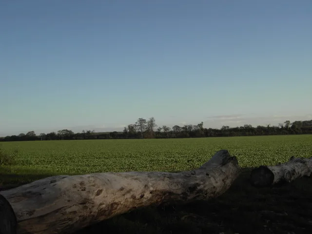
Aberford Dykes
Hill forts · 2.0 km

Battle of Seacroft Moor
Forts · 2.0 km

Saw Wood
Battlefields & battle sites · 2.2 km

Kirklees Way
Military museums · 2.3 km

Scholes
Villages · 2.3 km

Road Bridge East Of Bridge House
Historic bridges · 3.2 km
Nearby
📷 5📷 5Vineyards · Yorkshire & the Humber
Barwick-in-Elmet Castle
Barwick-in-Elmet Castle — a UK vineyard in england yorkshire, producing English or Welsh wine from cool-climate grape varieties.
📷 5Memorials & monuments · Yorkshire & the Humber
Maypole
Maypole is a memorial in the United Kingdom.
📷 3Memorials & monuments · Yorkshire & the Humber
Barwick-in-Elmet War Memorial
Barwick-in-Elmet War Memorial — Grade II listed building-listed memorial in england-yorkshire, United Kingdom.
📷 3Archaeological sites · Yorkshire & the Humber
Wendell Hill Iron Age Ditch & Bank
Wendell Hill Iron Age Ditch & Bank — a archaeological in england-yorkshire, United Kingdom.
📷 3Historic bridges · Yorkshire & the Humber
Potterton Bridge
Potterton Bridge — Grade II listed building-listed bridge in england-yorkshire, United Kingdom.
Where to eat & stay near Barwick-in-Elmet Castle
Places to stay
 📷 5
📷 5Campsites · Yorkshire & the Humber
Greenscapes Nusery Campsite
Greenscapes Nusery Campsite — a campsite in england yorkshire.
 📷 5
📷 5Caravan parks · Yorkshire & the Humber
Haighfield Caravan Park
Haighfield Caravan Park — a caravan park in england yorkshire.
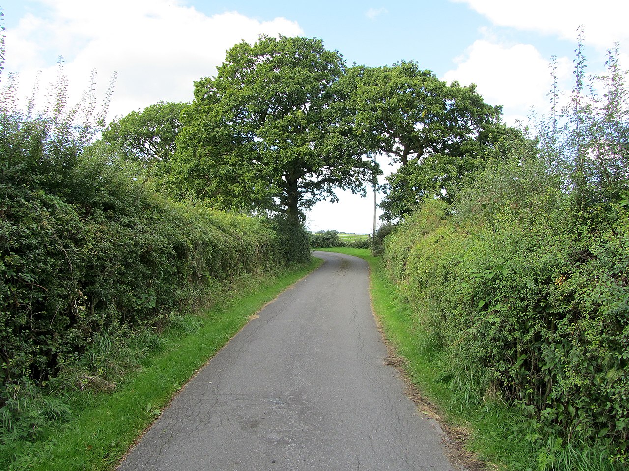 📷 5
📷 5Caravan parks · Yorkshire & the Humber
More Lodge Holiday Park
More Lodge Holiday Park — a caravan park in england yorkshire.
📷 5Campsites · Yorkshire & the Humber
More Lodge Holiday Park
More Lodge Holiday Park — a campsite in england yorkshire.
 📷 5
📷 5 📷 5
📷 5Places to eat & drink
 📷 5
📷 5 📷 5
📷 5Historic pubs · Yorkshire & the Humber
The Lord Gascoigne
The Lord Gascoigne in England Yorkshire, United Kingdom.
 📷 5
📷 5 📷 5
📷 5Historic pubs · Yorkshire & the Humber
Newmarket Inn
Newmarket Inn in England Yorkshire, United Kingdom.
 📷 5
📷 5Historic pubs · Yorkshire & the Humber
Crossgates and District Recreation Hall
Crossgates and District Recreation Hall in England Yorkshire, United Kingdom.
 📷 7
📷 7Historic pubs · Yorkshire & the Humber
The Briggate
The Briggate in England Yorkshire, United Kingdom.
More castles in this region
 📷 5
📷 5Castles · Yorkshire & the Humber
Ashton-under-Lyne
Ashton-under-Lyne, also known simply as Ashton, is a market town in Tameside, Greater Manchester, United Kingdom. The population was 48,604 at the 2021 census. Historically a part of Lancashire, it is
 📷 5
📷 5Castles · Yorkshire & the Humber
Audenshaw
Audenshaw is a town in Tameside, Greater Manchester, England, 4.9 miles (7.9 km) east of Manchester. Historically part of Lancashire, in 2011 it had a population of 11,419. The name derives from Aldwi
 📷 5
📷 5Castles · Yorkshire & the Humber
Bramhall
Bramhall is a large village in the Metropolitan Borough of Stockport, Greater Manchester, England. It was formerly a civil parish in Cheshire. At the 2021 census, the built-up area, as defined by the
 📷 5
📷 5Castles · Yorkshire & the Humber
Bredbury
Bredbury is a town in the Metropolitan Borough of Stockport, Greater Manchester, England; it lies 8 miles (12.9 km) south-east of Manchester, 2 miles (3.2 km) east of Stockport and 3 miles (4.8 km) so
Frequently asked questions
- Where is Barwick-in-Elmet Castle?
- Barwick-in-Elmet Castle is in Yorkshire, United Kingdom (postcode LS15 4JS), in the parish of Barwick in Elmet and Scholes.
- What is Barwick-in-Elmet Castle?
- Barwick-in-Elmet Castle was a fortification in the village of Barwick-in-Elmet, West Yorkshire, England to the east of Leeds (grid reference SE398375). The site of the castle was originally an Iron Ag
- How do I get to Barwick-in-Elmet Castle?
- The nearest railway station is Garforth, about 4.1 km away. Drivers can use postcode LS15 4JS.
- Does Barwick-in-Elmet Castle charge admission?
- Barwick-in-Elmet Castle typically charges admission. Check the official site for current ticket prices and opening hours.
- How do I get to Barwick-in-Elmet Castle?
- The nearest railway station is Garforth, about 4.1 km away. Drivers can navigate to postcode LS15 4JS.