
Abbeys & priories · East Midlands
Barrow Camera
In or near Repton.
Barrow Camera — knights Hospitaller foundation in Derbyshire, England.

Wikimedia Commons contributors — see linked file page for photographer and licence licence

Plan your visit
- Typical visit
- 45 min–1.5 h
- Nearest railway station
- Peartree · 4.3 km
- Family-friendly
- Limited wheelchair access
Getting there & planning your visit
To visit Barrow Camera, the nearest railway station is Peartree, which is approximately 4.3 km away. The postcode for sat-nav is DE73 7HN. Entry is free, but please note that wheelchair accessibility is limited.
About
Barrow Camera is an abbey, priory, or monastic site in the United Kingdom. Wikidata describes it as: "knights Hospitaller foundation in Derbyshire, England". Coordinates: 52.8630°, -1.5010°.
Photo gallery
From the Wikipedia article
Barrow Camera was a Knights Hospitaller foundation in the parish of Barrow upon Trent, Derbyshire, England. A Camera is: "A residence used during short visits by an official and attendants of the Knights Hospitallers for administrative purposes on their estates." Barrow Camera was in the hamlet of Arleston in the parish of Barrow upon Trent in Derbyshire, however, several historians have mistaken it for the village of Barrow in Cheshire. The Camera's position in Derbyshire is confirmed by connections with other religious institutions in Derbyshire, and by records showing their annual rent was paid to the Bishop of Carlisle, who was Lord of the Manor of Barrow upon Trent.
Excerpt from Wikipedia under CC BY-SA 4.0. See the source article linked in Sources below.
Background
History
During the reign of King Henry II (1154-1189), Robert de Bakepuze donated the church and some land at Barrow upon Trent to the Knights Hospitaller of Yeaveley Preceptory, also in Derbyshire. This donation was confirmed by Robert's son, John, who also donated further lands. In return, Mass was sung for Robert's soul in the Preceptory chapel every Sunday.
Sourced from Wikipedia under CC BY-SA 4.0.
- Coordinates
- 52.8630, -1.5010
- County
- Derbyshire
- District
- South Derbyshire
- Parish
- Barrow upon Trent
- Postcode
- DE73 7HN
- Parliamentary constituency
- South Derbyshire
- Established
- 1154
- Nearest railway station
- Peartree — 4.3 km
Sources
- wikidata: Q4863866 (CC0)
- wikipedia: Barrow Camera (CC BY-SA 4.0)
- commons: Cross of the Knights Hospitaller.svg (CC BY-SA 4.0)
Other places nearby

Stenson Lock and attached bridge to east
Historic bridges · 1.2 km

Trent and Mersey Canal Deep Dale Bridge Number 17 at SK 3485 2923
Historic bridges · 1.3 km
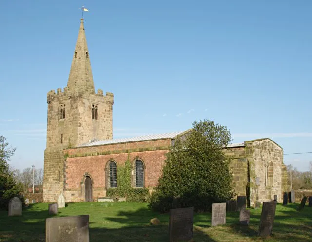
Church of St Andrew
Historic churches · 1.4 km

Canal bridge at OS 321300
Historic bridges · 1.6 km
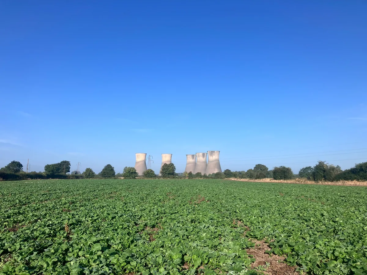
Settlement site and enclosures
Archaeological sites · 1.8 km

Barrow upon Trent War Memorial at Twyford Road, Barrow-upon-Trent
Memorials & monuments · 1.9 km
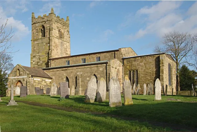
Church of St Wilfrid
Historic churches · 2.0 km
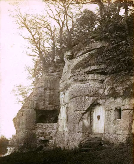
Anchor Church
Historic churches · 2.4 km

Normanton
Villages · 2.6 km

Trent And Mersey Canal Lowes Bridge
Historic bridges · 2.8 km

Findern Village Sign
Public art & sculpture · 3.0 km

Findern
Villages · 3.0 km
Nearby
📷 3Historic bridges · East Midlands
Stenson Lock and attached bridge to east
Stenson Lock and attached bridge to east — Grade II listed building-listed bridge in england-east-midlands, United Kingdom.
📷 3Historic bridges · East Midlands
Trent and Mersey Canal Deep Dale Bridge Number 17 at SK 3485 2923
Trent and Mersey Canal Deep Dale Bridge Number 17 at SK 3485 2923 — Grade II listed building-listed bridge in england-east-midlands, United Kingdom.
📷 3Historic churches · East Midlands
Church of St Andrew
Church of St Andrew — Grade I listed church in South Derbyshire, England, UK.
📷 3Historic bridges · East Midlands
Canal bridge at OS 321300
Canal bridge at OS 321300 — Grade II listed building-listed bridge in england-east-midlands, United Kingdom.
📷 3Archaeological sites · East Midlands
Settlement site and enclosures
Settlement site and enclosures — archaeological site in Twyford and Stenson, South Derbyshire, England, UK.
📷 3Memorials & monuments · East Midlands
Barrow upon Trent War Memorial at Twyford Road, Barrow-upon-Trent
Barrow upon Trent War Memorial at Twyford Road, Barrow-upon-Trent — Grade II listed building-listed memorial in england-east-midlands, United Kingdom.
Where to eat & stay near Barrow Camera
Places to stay
 📷 5
📷 5Campsites · East Midlands
Broadleaves Glamping
Broadleaves Glamping — a campsite in england east midlands.
 📷 7
📷 7Hotels · East Midlands
Georgian House Hotel
Georgian House Hotel — a hotel in england east midlands.
 📷 5
📷 5Campsites · East Midlands
The Orchard Campsite
The Orchard Campsite — a campsite in england east midlands.
 📷 5
📷 5Caravan parks · East Midlands
Beechwood Park
Beechwood Park — a caravan park in england east midlands.
 📷 5
📷 5Hotels · East Midlands
The Priest House Hotel
The Priest House Hotel — a hotel in england east midlands.
 📷 5
📷 5Caravan parks · East Midlands
Park Farmhouse Caravan Site
Park Farmhouse Caravan Site — a caravan park in england east midlands.
Places to eat & drink
 📷 7
📷 7Historic pubs · East Midlands
The Wheel Public House
The Wheel Public House in England East Midlands, United Kingdom.
 📷 5
📷 5Historic pubs · East Midlands
Hardinge Arms
Hardinge Arms in England East Midlands, United Kingdom.
 📷 7
📷 7Historic pubs · East Midlands
Ye Olde Spa Inn Public House
Ye Olde Spa Inn Public House in England East Midlands, United Kingdom.
 📷 7
📷 7Historic pubs · East Midlands
Brunswick Tavern
Brunswick Tavern in England East Midlands, United Kingdom.
 📷 5
📷 5Historic pubs · East Midlands
Wardwick Tavern Public House
Wardwick Tavern Public House in England East Midlands, United Kingdom.
 📷 7
📷 7More abbeys in this region
 📷 5
📷 5Abbeys & priories · East Midlands
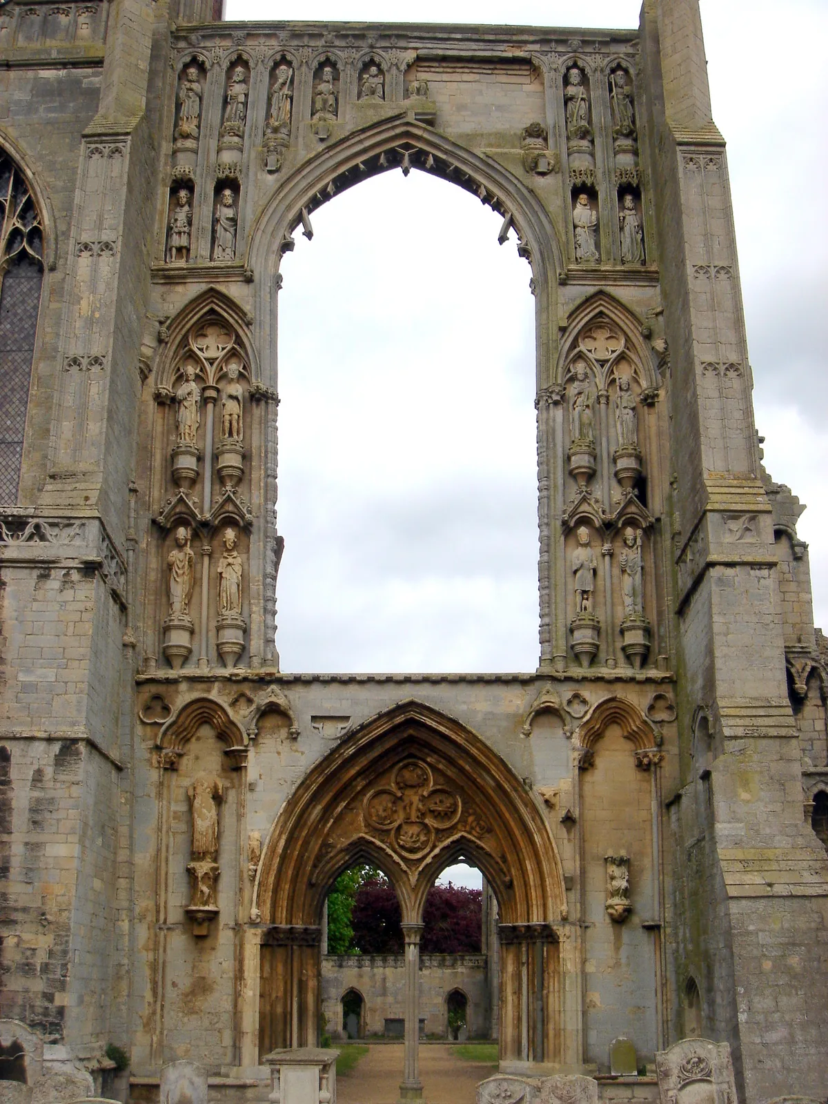
Crowland Abbey
Crowland Abbey — parish church of Church of England in Crowland, Lincolnshire, England, UK.
 📷 5
📷 5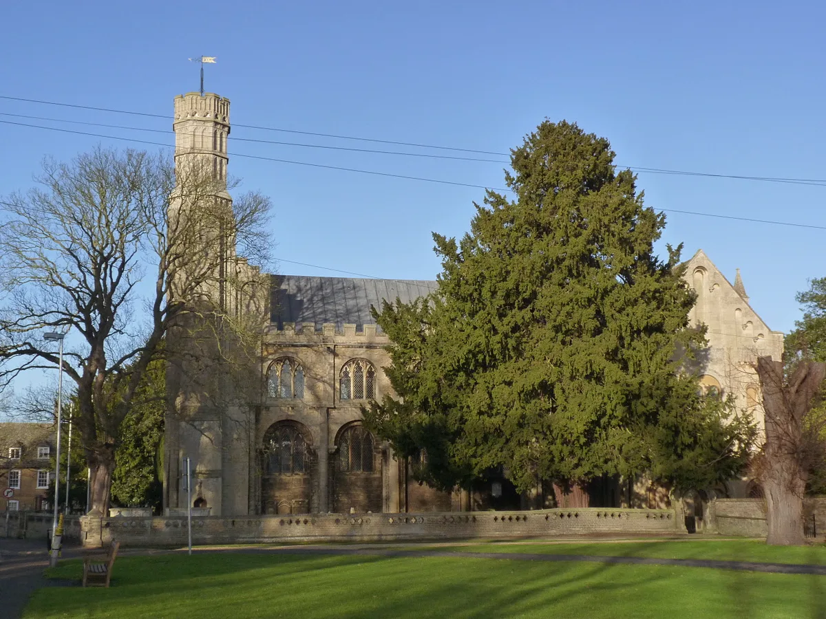 📷 5
📷 5Abbeys & priories · East Midlands
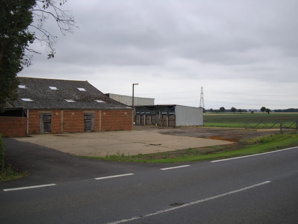
Thorney Abbey
Thorney Abbey — abbey in Thorney, Cambridgeshire, England, UK.
 📷 5
📷 5Abbeys & priories · East Midlands
St Leonard's Priory (remains of)
St Leonard's Priory (remains of) — a abbey in england-london, United Kingdom.
Frequently asked questions
- Where is Barrow Camera?
- Barrow Camera is in Derbyshire, the East Midlands, United Kingdom (postcode DE73 7HN), in the parish of Barrow upon Trent.
- What is Barrow Camera?
- Barrow Camera — knights Hospitaller foundation in Derbyshire, England.
- How do I get to Barrow Camera?
- The nearest railway station is Peartree, about 4.3 km away. Drivers can use postcode DE73 7HN.
- When was Barrow Camera built?
- Built or established in 1154.
- How do I get to Barrow Camera?
- The nearest railway station is Peartree, about 4.3 km away. Drivers can navigate to postcode DE73 7HN.