
Historic churches · East Midlands
Anchor Church
In or near Repton.
Anchor Church — caves in Derbyshire, England, UK.

Wikimedia Commons contributors — see linked file page for photographer and licence licence

Plan your visit
- Typical visit
- 30 min–1 h
- Nearest railway station
- Willington · 4.7 km
- Free entry
Getting there & planning your visit
To visit Anchor Church in South Derbyshire, the nearest railway station is Willington, located 4.7 km away. The postcode for navigation is DE73 7GL, and entry to the church is free.
About
Anchor Church is a historic church in the United Kingdom. Heritage designation: Grade II listed building. Wikidata describes it as: "caves in Derbyshire, England, UK". Coordinates: 52.8417°, -1.4975°.
Photo gallery
Heritage listing
Anchor Church is a series of caves in a Keuper Sandstone (Triassic conglomerate) outcrop, close to the village of Ingleby, Derbyshire, England. The caves have been extended by human intervention to form a crude dwelling place, complete with door and window holes. The sandstone outcrop once formed part of the banks of the River Trent and the caves were formed by the action of the river on the rock. The course of the river has altered and left the caves opening onto a backwater pool.
From the Historic England List Entry under OGL v3.
From the Wikipedia article
Anchor Church is a series of caves in a Keuper Sandstone (Triassic conglomerate) outcrop, close to the village of Ingleby, Derbyshire, England. The caves have been extended by human intervention to form a crude dwelling place, complete with door and window holes. The sandstone outcrop once formed part of the banks of the River Trent and the caves were formed by the action of the river on the rock. The course of the river has altered and left the caves opening onto a backwater pool. It has been designated as both a Regionally Important Geological Site, and as a Local Wildlife Site.
Excerpt from Wikipedia under CC BY-SA 4.0. See the source article linked in Sources below.
Background
History
is dedicated to this saint. In the Middle Ages, the caves were used by a monk named Bernard, who died here whilst doing penance for his involvement in some unknown crime. Records of the caves exist from 1658 when it is mentioned in Repton church records. William Woolley, writing around 1715, said: "About half a mile eastward (from Foremark Hall), upon the side of the Trent, is a large cave dug out of a rock in the form of a chapel, called Anker church. It has been, as tradition informs us, an anchorite’s cell and it really is a most solitary, pleasant place." D. P. Davies, in 1811, described the caves: "Several excavations, or cells, which communicate with each other and give a probability…
Sourced from Wikipedia under CC BY-SA 4.0.
- Coordinates
- 52.8417, -1.4975
- County
- Derbyshire
- District
- South Derbyshire
- Parish
- Ingleby
- Postcode
- DE73 7GL
- Parliamentary constituency
- South Derbyshire
- Nearest railway station
- Willington — 4.7 km
Sources
- wikidata: Q4752670 (CC0)
- wikipedia: Anchor Church (CC BY-SA 4.0)
- commons: Anchor Church 1895.jpg (CC BY-SA 4.0)
Other places nearby

Foremarke Hall
Historic houses · 1.0 km
Foremarke Hall, Repton Preparatory School
Historic houses · 1.0 km
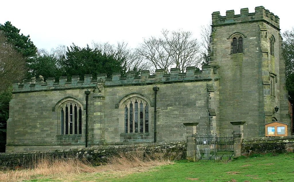
St Saviour's Church, Foremark
Historic churches · 1.2 km
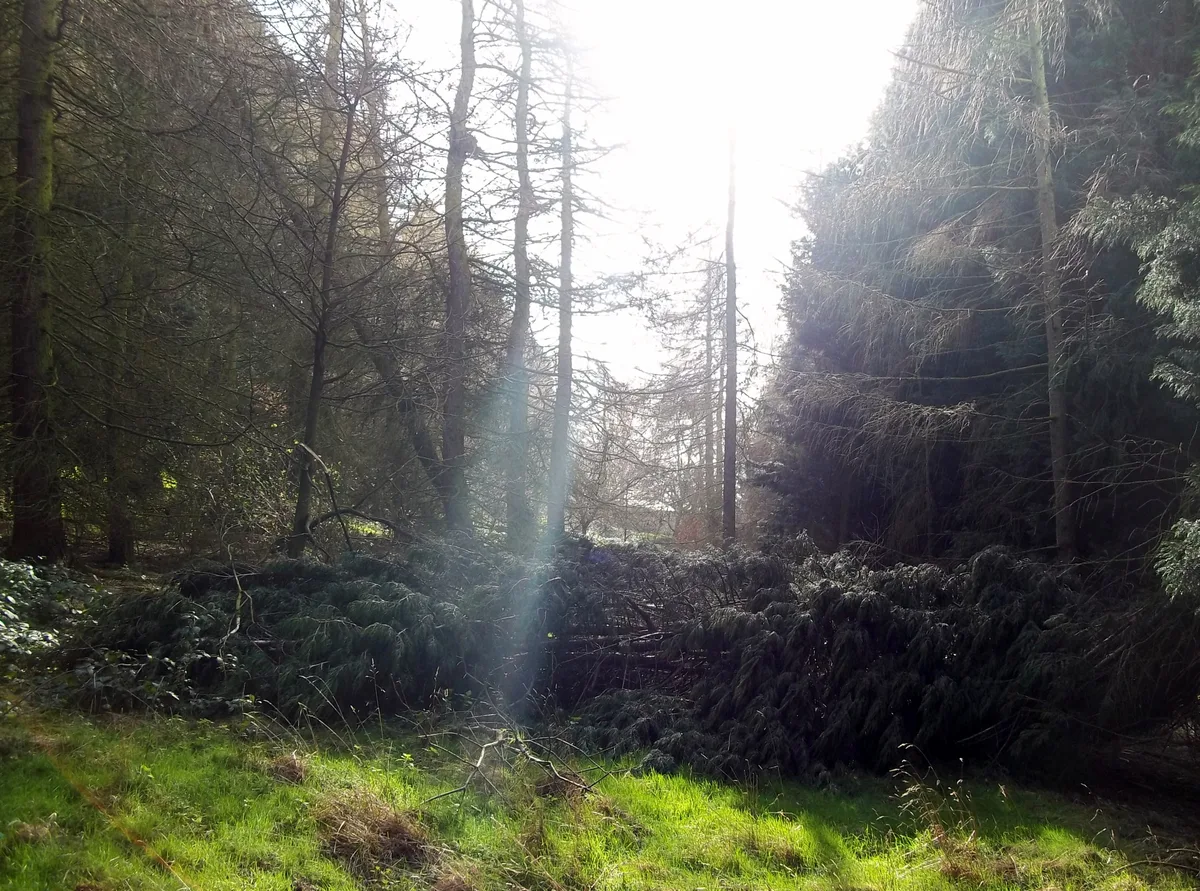
Heath Wood barrow cemetery
Hill forts · 1.4 km
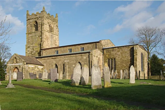
Church of St Wilfrid
Historic churches · 1.8 km
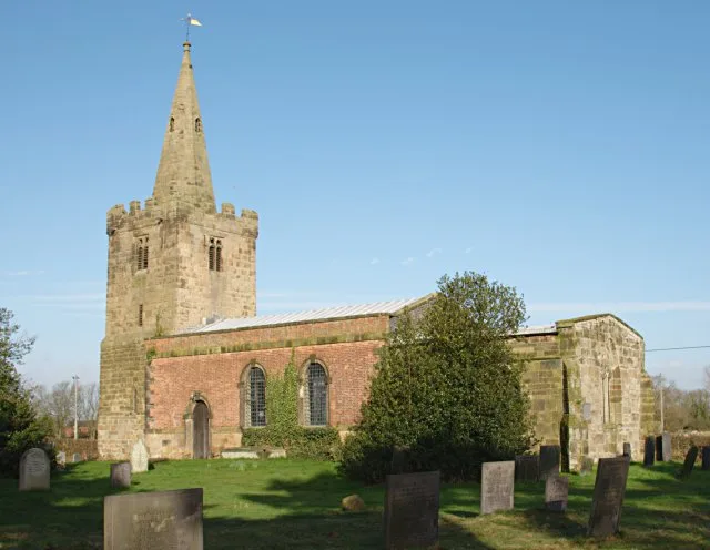
Church of St Andrew
Historic churches · 1.8 km

Barrow upon Trent War Memorial at Twyford Road, Barrow-upon-Trent
Memorials & monuments · 1.8 km

Trent and Mersey Canal Deep Dale Bridge Number 17 at SK 3485 2923
Historic bridges · 2.2 km

Barrow Camera
Abbeys & priories · 2.4 km
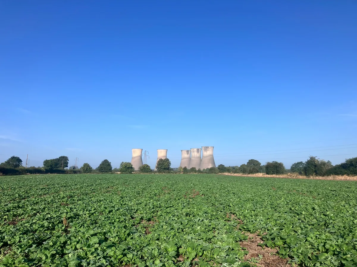
Settlement site and enclosures
Archaeological sites · 2.6 km
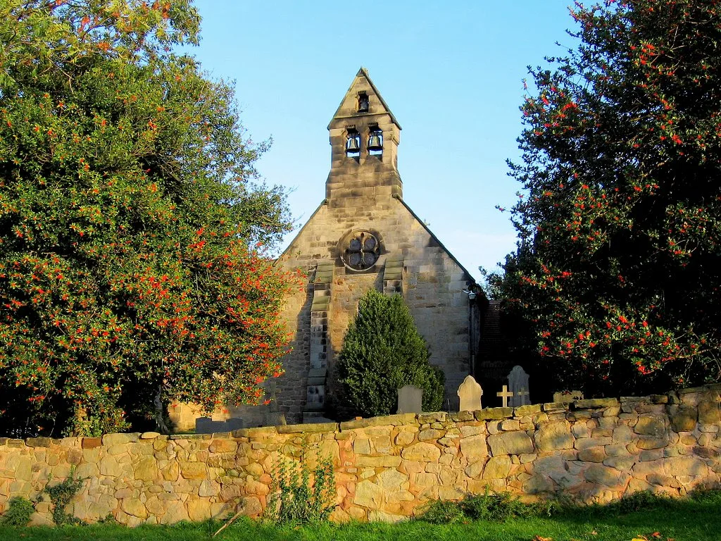
Church of St Michael
Historic churches · 2.8 km

Stenson Lock and attached bridge to east
Historic bridges · 3.0 km
Nearby
📷 4Historic houses · East Midlands
Foremarke Hall
Foremarke Hall — a Grade I-listed historic house in england-east-midlands, United Kingdom.
📷 5Historic houses · East Midlands
Foremarke Hall, Repton Preparatory School
Foremarke Hall, Repton Preparatory School — a school heritage in england-east-midlands, United Kingdom.
📷 5Historic churches · East Midlands
St Saviour's Church, Foremark
St Saviour's Church, Foremark — Grade I listed building in Derbyshire, England, UK.
📷 3Hill forts · East Midlands
Heath Wood barrow cemetery
Heath Wood barrow cemetery — Viking burial site near Ingleby, Derbyshire, England.
📷 3Historic churches · East Midlands
Church of St Wilfrid
Church of St Wilfrid — Grade I listed church in South Derbyshire, England, UK.
📷 3Historic churches · East Midlands
Church of St Andrew
Church of St Andrew — Grade I listed church in South Derbyshire, England, UK.
Where to eat & stay near Anchor Church
Places to stay
 📷 5
📷 5Campsites · East Midlands
Broadleaves Glamping
Broadleaves Glamping — a campsite in england east midlands.
 📷 5
📷 5Caravan parks · East Midlands
Park Farmhouse Caravan Site
Park Farmhouse Caravan Site — a caravan park in england east midlands.
 📷 5
📷 5Hotels · East Midlands
The Priest House Hotel
The Priest House Hotel — a hotel in england east midlands.
 📷 5
📷 5Caravan parks · East Midlands
Beechwood Park
Beechwood Park — a caravan park in england east midlands.
 📷 7
📷 7Hotels · East Midlands
Georgian House Hotel
Georgian House Hotel — a hotel in england east midlands.
 📷 5
📷 5Caravan parks · East Midlands
Rolleston Scout Group Caravan Park
Rolleston Scout Group Caravan Park — a caravan park in england east midlands.
Places to eat & drink
 📷 7
📷 7Historic pubs · East Midlands
The Wheel Public House
The Wheel Public House in England East Midlands, United Kingdom.
 📷 5
📷 5Historic pubs · East Midlands
Hardinge Arms
Hardinge Arms in England East Midlands, United Kingdom.
 📷 7
📷 7Historic pubs · East Midlands
Brickmakers Arms
Brickmakers Arms in England East Midlands, United Kingdom.
 📷 7
📷 7 📷 5
📷 5Historic pubs · East Midlands
The Three Horseshoes Public House
The Three Horseshoes Public House in England East Midlands, United Kingdom.
 📷 7
📷 7Historic pubs · East Midlands
Ye Olde Spa Inn Public House
Ye Olde Spa Inn Public House in England East Midlands, United Kingdom.
More places in this region
 📷 5
📷 5Historic churches · East Midlands
All Saints' Church, Stamford
All Saints' Church, Stamford — church in Stamford, Lincolnshire, England, UK.
 📷 5
📷 5Historic churches · East Midlands
Church of All Saints
Church of All Saints — church in Little Casterton, Rutland, United Kingdom.
 📷 5
📷 5Historic churches · East Midlands
Church of All Saints
Church of All Saints — church in Fenland, UK.
 📷 5
📷 5Historic churches · East Midlands
Church of St Leonard
Church of St Leonard — church in Fenland, UK.
Frequently asked questions
- Where is Anchor Church?
- Anchor Church is in Derbyshire, the East Midlands, United Kingdom (postcode DE73 7GL), in the parish of Ingleby.
- What is Anchor Church?
- Anchor Church — caves in Derbyshire, England, UK.
- How do I get to Anchor Church?
- The nearest railway station is Willington, about 4.7 km away. The nearest town is Repton. Drivers can use postcode DE73 7GL.
- Is Anchor Church a listed building?
- Anchor Church is officially recognised as Grade II listed building listed.
- Is Anchor Church free to visit?
- Yes, Anchor Church is free to enter.
- How do I get to Anchor Church?
- The nearest railway station is Willington, about 4.7 km away. Drivers can navigate to postcode DE73 7GL.