
Archaeological sites · North East England
Barcombe Hill Roman signal station
In or near Bardon Mill.
Barcombe Hill Roman signal station — archaeological site in Bardon Mill, Northumberland, England, UK.

Oliver Dixon — CC BY-SA 2.0 via Wikimedia Commons licence

Plan your visit
- Typical visit
- 45 min–1.5 h
- Nearest railway station
- Bardon Mill · 2.3 km
- Free entry
- Dog-friendly
About
Barcombe Hill Roman signal station is a place of interest in the Scottish Lowlands. Officially recognised as scheduled monument. The site is a designated Site of Special Scientific Interest. It sits within the Hexham parliamentary constituency. The nearest railway station is Bardon Mill, about 2.3 km away. Postcode area NE47.
Photo gallery
Protected designations
- Site of Special Scientific Interest: River Eden and Tributaries SSSI
- Site of Special Scientific Interest: Roman Wall Escarpments SSSI
Designations sourced from Natural England open data under OGL v3.
Place summary
Barcombe Hill Roman signal station is an archaeological site located in Bardon Mill, in the Scottish Lowlands (postcode NE47). It is designated as a scheduled monument and is part of the River Eden and Tributaries SSSI, as well as the Roman Wall Escarpments SSSI.
AI-generated from the structured facts on this page (operator, designation, listing, era). Not a substitute for visiting.
- Coordinates
- 54.9954, -2.3408
- District
- Northumberland
- Parish
- Bardon Mill
- Postcode
- NE47 7AF
- Parliamentary constituency
- Hexham
- Nearest railway station
- Bardon Mill — 2.3 km
Sources
- wikidata: Q17676761 (CC0)
Other places nearby

Barcombe Hill
Vineyards · 0.0 km

Thorngrafton Common
Mountains & hills · 0.2 km

Long Stone
Archaeological sites · 0.6 km

Medieval settlement and field system, two bastles and a corn drying kiln, immediately north east of Bradley Hall
Vineyards · 0.9 km

Vindolanda Museum
Museums · 1.1 km
Chesterholm Museum - Vindolanda
Science centres · 1.1 km
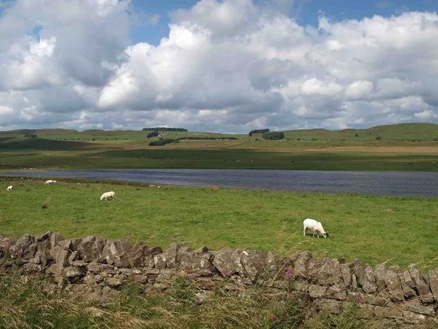
Grindon Lough nature reserve
Wildlife reserves · 1.2 km
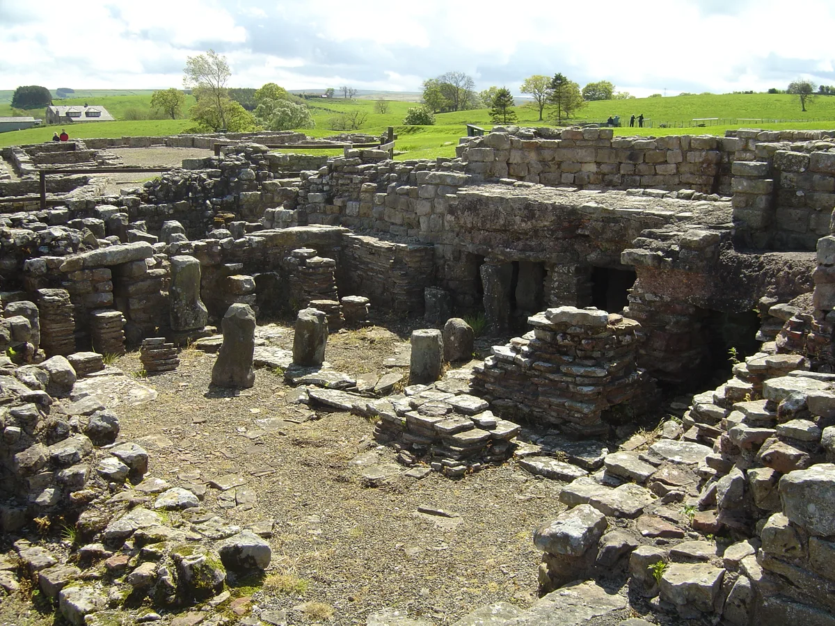
Vindolanda
Hill forts · 1.3 km

Castra Vindolanda
Forts · 1.3 km

dolichenum at Vindolanda
Follies · 1.3 km

Granary & Stores
Historic houses · 1.3 km

Thorngrafton
Villages · 1.4 km
Nearby
📷 5Vineyards · North East England
Barcombe Hill
Barcombe Hill — a UK vineyard in scotland lowlands, producing English or Welsh wine from cool-climate grape varieties.
📷 5Mountains & hills · North East England
Thorngrafton Common
Thorngrafton Common — a hill or mountain in scotland lowlands.
📷 3Archaeological sites · North East England
Long Stone
Long Stone — a archaeological in scotland-lowlands, United Kingdom.
📷 5Vineyards · North East England
Medieval settlement and field system, two bastles and a corn drying kiln, immediately north east of Bradley Hall
Medieval settlement and field system, two bastles and a corn drying kiln, immediately north east of Bradley Hall — a UK vineyard in scotland lowlands, producing English or Welsh wine from cool-climate grape varieties.
📷 3Museums · North East England
Vindolanda Museum
Vindolanda Museum — a museum in scotland-lowlands, United Kingdom.
📷 3Science centres · North East England
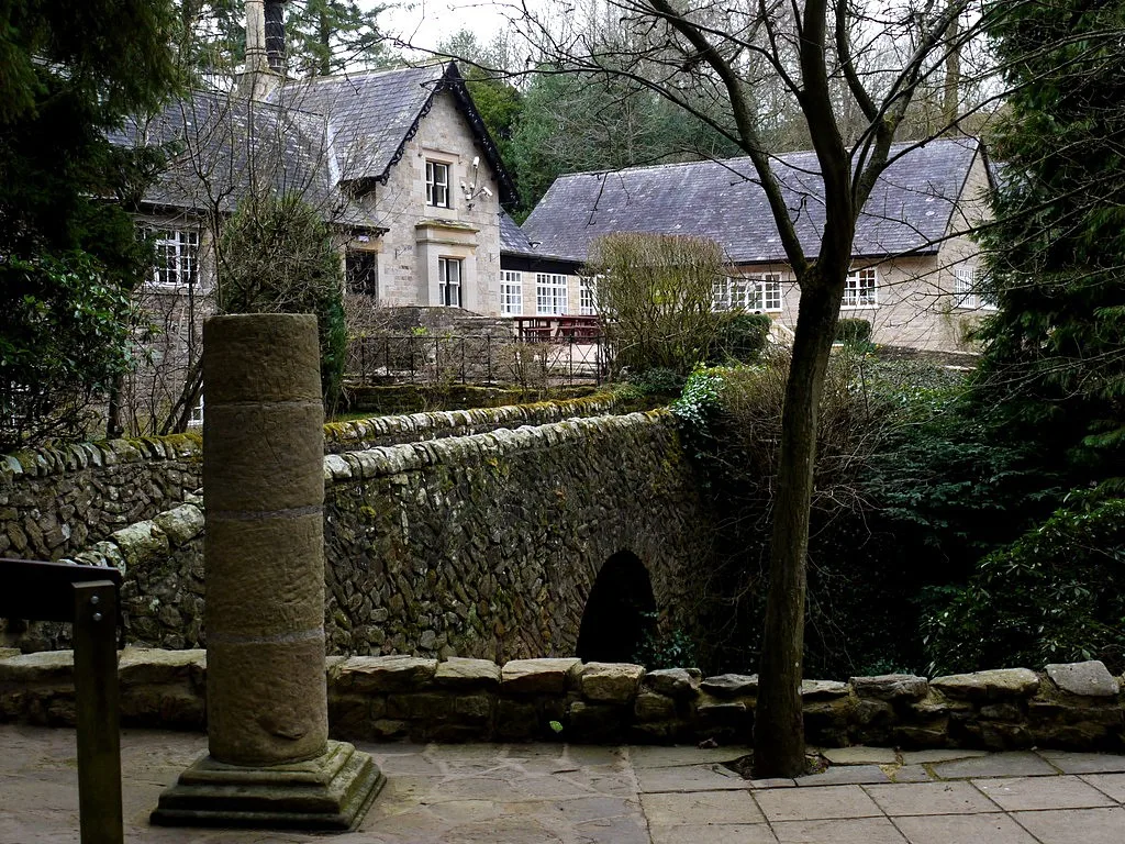
Chesterholm Museum - Vindolanda
Chesterholm Museum - Vindolanda — museum at Vindolanda Roman Fort, Northumberland, England, UK.
Where to eat & stay near Barcombe Hill Roman signal station
Places to stay
 📷 5
📷 5 📷 5
📷 5Campsites · North East England
Winshields Farm Campsite
Winshields Farm Campsite — a campsite in scotland lowlands.
 📷 5
📷 5B&Bs · North East England
Old Repeater Station
Old Repeater Station — a bed-and-breakfast in scotland lowlands.
 📷 5
📷 5Campsites · North East England
Hadrian's Wall Campsite
Hadrian's Wall Campsite — a campsite in scotland lowlands.
 📷 5
📷 5Caravan parks · North East England
Poplars Riverside Caravan Park
Poplars Riverside Caravan Park — a caravan park in scotland lowlands.
 📷 5
📷 5Caravan parks · North East England
Seldom Seen Caravan Park
Seldom Seen Caravan Park — a caravan park in scotland lowlands.
Places to eat & drink
 📷 7
📷 7Historic pubs · North East England
Anchor Hotel
Anchor Hotel in Scotland Lowlands, United Kingdom.
 📷 5
📷 5 📷 5
📷 5 📷 6
📷 6 📷 5
📷 5Historic pubs · North East England
Travellers' Rest Inn
Travellers' Rest Inn in Scotland Lowlands, United Kingdom.
 📷 4
📷 4More archaeological sites in this region
 📷 5
📷 5Archaeological sites · North East England
Medieval Manorial Site of Low Dinsdale
Medieval Manorial Site of Low Dinsdale — archaeological in england yorkshire.
 📷 3
📷 3Archaeological sites · North East England
Old Smelting Mill
Old Smelting Mill — a archaeological in england-north-west, United Kingdom.
 📷 5
📷 5Archaeological sites · North East England
Roper Castle or Round Table (Roman Signal Station)
Roper Castle or Round Table (Roman Signal Station) — archaeological in england north west.
 📷 5
📷 5Archaeological sites · North East England
Nine Standards Rigg
Nine Standards Rigg — archaeological in england north west. Elevation: 662 m.
Frequently asked questions
- Where is Barcombe Hill Roman signal station?
- Barcombe Hill Roman signal station is in the Scottish Lowlands, United Kingdom (postcode NE47 7AF), in the parish of Bardon Mill.
- What is Barcombe Hill Roman signal station?
- Barcombe Hill Roman signal station — archaeological site in Bardon Mill, Northumberland, England, UK.
- How do I get to Barcombe Hill Roman signal station?
- The nearest railway station is Bardon Mill, about 2.3 km away. Drivers can use postcode NE47 7AF.
- Is Barcombe Hill Roman signal station a listed building?
- Barcombe Hill Roman signal station is officially recognised as scheduled monument listed.
- Is Barcombe Hill Roman signal station a protected site?
- Yes — Barcombe Hill Roman signal station is part of the River Eden and Tributaries SSSI Site of Special Scientific Interest and the Roman Wall Escarpments SSSI Site of Special Scientific Interest.
- Is Barcombe Hill Roman signal station free to visit?
- Yes, Barcombe Hill Roman signal station is free to enter.
- How do I get to Barcombe Hill Roman signal station?
- The nearest railway station is Bardon Mill, about 2.3 km away. Drivers can navigate to postcode NE47 7AF.