
Public art & sculpture · London
Map of Tottenham Marshes and adjacent reservoirs
In or near City of London.
Map of Tottenham Marshes and adjacent reservoirs — a public art in england-london, United Kingdom.

Jim Osley — CC BY-SA 2.0 via Wikimedia Commons licence

Plan your visit
- Typical visit
- 1 h–2 h
- Nearest railway station
- Northumberland Park · 0.5 km
- Free entry
- Dog-friendly
About
Map of Tottenham Marshes and adjacent reservoirs is a public art located in england-london, United Kingdom. Sourced from OpenStreetMap (ODbL licence); see local listings for visitor information, opening hours and admission details.
Photo gallery
Protected designations
- Site of Special Scientific Interest: Walthamstow Reservoirs SSSI
- Ramsar wetland: Lee Valley
Designations sourced from Natural England open data under OGL v3.
Place summary
The Map of Tottenham Marshes and adjacent reservoirs is a public art installation located in London. It is notable for its representation of the marshes and reservoirs, serving as both a navigational tool and an artistic interpretation of the landscape.
AI-generated from the structured facts on this page (operator, designation, listing, era). Not a substitute for visiting.
- Coordinates
- 51.5975, -0.0511
- District
- Haringey
- Parish
- Haringey, unparished area
- Postcode
- N17 0XD
- Parliamentary constituency
- Tottenham
- Nearest railway station
- Northumberland Park — 0.5 km
Sources
- osm: node/3146267543 (ODbL)
Other places nearby
Tottenham Tower
Public art & sculpture · 0.0 km

Stonebridge Lock
Canal locks · 0.1 km

Lockwood Reservoir
Reservoirs & lochs · 0.4 km

Victory Distillery
Distilleries · 0.8 km
Big Creative Academy
Natural landmarks · 0.9 km

Said Nursi Camii
Historic churches · 0.9 km

High Maynard Reservoir
Reservoirs & lochs · 1.0 km

Low Maynard Reservoir
Reservoirs & lochs · 1.0 km
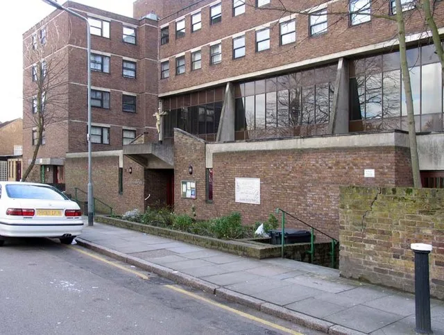
St Paul's Church, Tottenham
Historic churches · 1.0 km

Higham Hill
Chapels · 1.1 km

Popular Picture Palace
Theatres · 1.1 km

Tottenham Lock
Canal locks · 1.1 km
Nearby
📷 5Public art & sculpture · London
Tottenham Tower
Tottenham Tower — a public art in england-london, United Kingdom.
📷 5Canal locks · London
Stonebridge Lock
Stonebridge Lock — paired lock on the River Lee Navigation in the London Borough of Haringey.
📷 5Reservoirs & lochs · London
Lockwood Reservoir
Lockwood Reservoir — reservoir in the London Borough of Waltham Forest, England, United Kingdom.
📷 5Distilleries · London
Victory Distillery
Victory Distillery — Whisky/spirit distillery.
📷 5Natural landmarks · London
Big Creative Academy
Big Creative Academy — a school heritage in england-london, United Kingdom.
📷 5Historic churches · London
Said Nursi Camii
Said Nursi Camii — a church in england-london, United Kingdom.
Where to eat & stay near Map of Tottenham Marshes and adjacent reservoirs
Places to stay
 📷 5
📷 5 📷 5
📷 5 📷 5
📷 5 📷 5
📷 5Caravan parks · London
Lea Valley Camping and Caravan Park
Lea Valley Camping and Caravan Park — a caravan park in england london.
 📷 7
📷 7 📷 5
📷 5Places to eat & drink
 📷 7
📷 7Historic pubs · London
Mirth, Marvel and Maud
Mirth, Marvel and Maud in England London, United Kingdom.
 📷 5
📷 5 📷 7
📷 7 📷 7
📷 7 📷 5
📷 5Historic pubs · London
The Rochester Castle Public House
The Rochester Castle Public House in England London, United Kingdom.
 📷 5
📷 5Historic pubs · London
Great Northern Railway
Great Northern Railway in England London, United Kingdom.
More places in this region
 📷 5
📷 5Public art & sculpture · London
33
33 — Public artwork (architecture) by Studio Weave.
 📷 5
📷 5Public art & sculpture · London
A Conversation with Oscar Wilde
A Conversation with Oscar Wilde — Public artwork (sculpture).
 📷 5
📷 5Public art & sculpture · London
A Sculpture for Mary Wollstonecraft
A Sculpture for Mary Wollstonecraft — Public artwork (sculpture) by Maggi Hambling.
 📷 5
📷 5Public art & sculpture · London
A Slice of Reality
A Slice of Reality — Public artwork (installation) by Richard Wilson.
Frequently asked questions
- Where is Map of Tottenham Marshes and adjacent reservoirs?
- Map of Tottenham Marshes and adjacent reservoirs is in London, United Kingdom (postcode N17 0XD), in the parish of Haringey, unparished area.
- What is Map of Tottenham Marshes and adjacent reservoirs?
- Map of Tottenham Marshes and adjacent reservoirs — a public art in england-london, United Kingdom.
- How do I get to Map of Tottenham Marshes and adjacent reservoirs?
- The nearest railway station is Northumberland Park, about 0.5 km away. Drivers can use postcode N17 0XD.
- Is Map of Tottenham Marshes and adjacent reservoirs a protected site?
- Yes — Map of Tottenham Marshes and adjacent reservoirs is part of the Walthamstow Reservoirs SSSI Site of Special Scientific Interest and the Lee Valley Ramsar wetland.
- Is Map of Tottenham Marshes and adjacent reservoirs free to visit?
- Yes, Map of Tottenham Marshes and adjacent reservoirs is free to enter.
- How do I get to Map of Tottenham Marshes and adjacent reservoirs?
- The nearest railway station is Northumberland Park, about 0.5 km away. Drivers can navigate to postcode N17 0XD.