
Archaeological sites · London
Waltham Forest
In or near Lambourne.
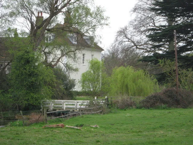
Waltham Forest — former legal forest in England.

Eleanor Dann — CC BY-SA 2.0 via Wikimedia Commons licence

Plan your visit
- Typical visit
- 45 min–1.5 h
- Nearest railway station
- Loughton · 0.7 km
- Free entry
- Dog-friendly
Getting there & planning your visit
To visit Waltham Forest, the nearest railway station is Loughton, which is 0.7 km away. The postcode for navigation is IG10 3EP, and entry is free.
About
Waltham Forest is an archaeological site in the United Kingdom. Wikidata describes it as: "former legal forest in England". Coordinates: 51.6400°, 0.0650°.
Photo gallery
Protected designations
- Site of Special Scientific Interest: Epping Forest SSSI
Designations sourced from Natural England open data under OGL v3.
From the Wikipedia article
Waltham Forest was a royal forest that existed from around the time the Forest of Essex was disestablished in the 13th century. After that Forest Law was focused on areas with higher concentrations of woodland than the sparsely wooded Forest of Essex ever had. Forests were legal institutions introduced by the Normans to denote an area where the King or another magnate had the right to keep and hunt deer and make Forest Law. Initially there was a very weak correlation between the extent of the legal forest and what might be termed the 'physical forest', the often wooded Common Land areas where the deer lived. In later centuries there was a much stronger correlation – with Forest areas decreasing in extent to more closely align with wooded area. Eventually the word forest became synonymous with woodland. The first known use of the name Waltham Forest is 1205 (in Medieval Latin) as foresta nostra prope Waltham, and the use of the name persisted, together with names for various parts of the forest, until the end of the seventeenth century. Waltham Forest was focused on the heavily wooded areas subsequently known as Epping Forest and Hainault Forest. Outside those areas woodland cover would have been modest, particularly near the Roding and Lea rivers. Within Epping Forest were other named areas of woodland, sometime coppiced in contrast to the general wood-pasture management, such as Hawkwood, Bury Wood, Great Monk Wood and others. Waltham Forest was bounded by the River Lea in the west and the originally Roman Romford Road (A118) in the south. It stretched north with boundaries in the Harlow area. The modern London Borough of Waltham Forest, formed in 1965, was named after this institution.
Excerpt from Wikipedia under CC BY-SA 4.0. See the source article linked in Sources below.
- Coordinates
- 51.6400, 0.0650
- County
- Essex
- District
- Epping Forest
- Parish
- Loughton
- Postcode
- IG10 3EP
- Parliamentary constituency
- Epping Forest
- Nearest railway station
- Loughton — 0.7 km
Sources
- wikidata: Q22004641 (CC0)
- wikipedia: Waltham Forest (legal forest) (CC BY-SA 4.0)
Other places nearby

Loughton tube station
Historic houses · 0.7 km

Lopping Hall Gallery
Galleries · 1.0 km

Loughton
Villages · 1.0 km

Loughton Synagogue
Historic churches · 1.0 km

Epping Forest College
Forests & woodlands · 1.2 km

Loughton
Museums · 1.2 km
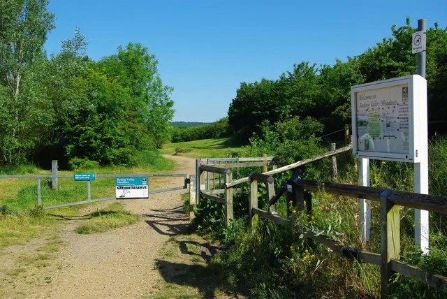
Roding Valley Meadows
Wildlife reserves · 1.3 km
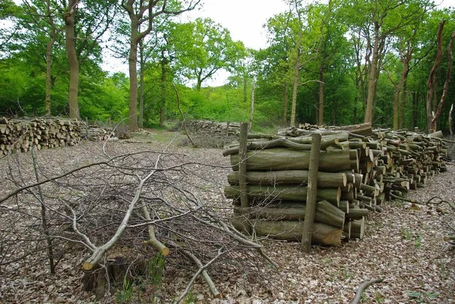
Thrift Wood
Wildlife reserves · 1.3 km

George Granville Barker
Memorials & monuments · 1.3 km
Corbett Theatre E15 Acting School
Theatres · 1.4 km

Corbett Theatre
Theatres · 1.4 km

Christopher Cutchey
Memorials & monuments · 1.5 km
Nearby
📷 5Historic houses · London
Loughton tube station
Loughton tube station — a Grade II-listed historic house in england-london, United Kingdom.
📷 5Galleries · London
Lopping Hall Gallery
Lopping Hall Gallery — a gallery in england-london, United Kingdom.
📷 5📷 5Historic churches · London
Loughton Synagogue
Loughton Synagogue — a church in england-london, United Kingdom.
📷 5Forests & woodlands · London
Epping Forest College
Epping Forest College — a school heritage in england-london, United Kingdom.
📷 5Where to eat & stay near Waltham Forest
Places to stay
 📷 5
📷 5Caravan parks · London
Debden House Centre
Debden House Centre — a caravan park in england london.
 📷 5
📷 5Campsites · London
Debden House Holiday Park
Debden House Holiday Park — a campsite in england london.
 📷 5
📷 5 📷 7
📷 7Hotels · London
London Chigwell Prince Regent Hotel
London Chigwell Prince Regent Hotel — a hotel in england london. 4-star. Brand: Best Western.
 📷 5
📷 5 📷 5
📷 5Places to eat & drink
 📷 5
📷 5 📷 5
📷 5 📷 7
📷 7Historic pubs · London
Queen Victoria Public House
Queen Victoria Public House in England London, United Kingdom.
 📷 5
📷 5 📷 5
📷 5Historic pubs · London
The Queens Arms Public House
The Queens Arms Public House in England London, United Kingdom.
 📷 5
📷 5Historic pubs · London
The Nightingale Public House
The Nightingale Public House in England London, United Kingdom.
More archaeological sites in this region
 Flagship📷 10
Archaeological sites · London
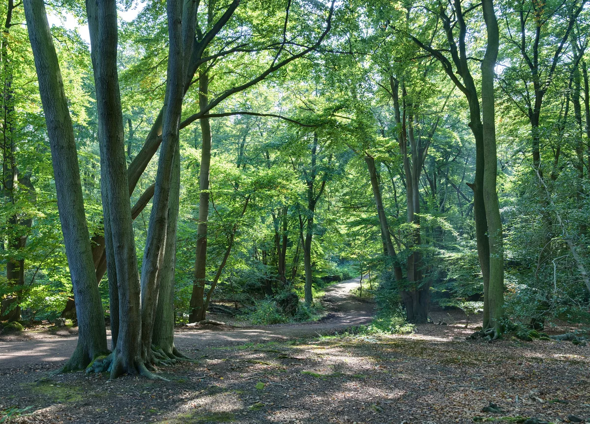
Epping Forest
Epping Forest — royal forest in England.
 Flagship📷 10
 📷 5
📷 5Archaeological sites · London
A preceptory of the Knights Hospitallers, known as St John's Jerusalem, and an associated fishpond at Sutton-at-Hone
A preceptory of the Knights Hospitallers, known as St John's Jerusalem, and an associated fishpond at Sutton-at-Hone — archaeological site in Sutton-at-Hone and Hawley, Dartford, England, UK.
 📷 5
📷 5Archaeological sites · London
Albans Wood
Albans Wood — Nature reserve in Hertfordshire, England.
Frequently asked questions
- Where is Waltham Forest?
- Waltham Forest is in Essex, London, United Kingdom (postcode IG10 3EP), in the parish of Loughton.
- What is Waltham Forest?
- Waltham Forest — former legal forest in England.
- How do I get to Waltham Forest?
- The nearest railway station is Loughton, about 0.7 km away. The nearest town is Lambourne. Drivers can use postcode IG10 3EP.
- Is Waltham Forest a protected site?
- Yes — Waltham Forest is part of the Epping Forest SSSI Site of Special Scientific Interest.
- Is Waltham Forest free to visit?
- Yes, Waltham Forest is free to enter.
- How do I get to Waltham Forest?
- The nearest railway station is Loughton, about 0.7 km away. Drivers can navigate to postcode IG10 3EP.