
Gardens · East Midlands
Baggrave Hall
In or near Gaddesby.
Baggrave Hall — a garden in england-west-midlands, United Kingdom.

Alan Murray-Rust — CC BY-SA 2.0 via Wikimedia Commons licence

Plan your visit
- Typical visit
- 1 h–2.5 h
- Best time of year
- Spring & summer (Apr–Sep)
- Nearest railway station
- Syston · 8.0 km
- Dog-friendly
Getting there & planning your visit
To visit Baggrave Hall, the nearest railway station is Syston, which is 8 km away. The postcode for sat-nav is LE7 9JB. Entry information is not provided, so please check in advance for details on accessibility and any potential fees.
About
Baggrave Hall is a garden of interest in england-west-midlands, United Kingdom — drawn from open-data sources for visitor reference. See the linked Wikipedia article for the full description.
Photo gallery
From the Wikipedia article
Baggrave Hall is an 18th-century Grade II* listed country house in the parish of Hungarton, Leicestershire, England. It is a two and three-storey building in Palladian style, constructed in ashlar in the 1750s, with a Swithland slate hipped roof and brick-ridge chimney stacks. An extra wing in red brick can be dated to 1776. The current grounds cover 220 acres (89 ha). The hall was listed in 1951, but suffered serious damage from an owner in 1988–1990.
Excerpt from Wikipedia under CC BY-SA 4.0. See the source article linked in Sources below.
Background
History
Before the Dissolution of the Monasteries, the site belonged to Leicester Abbey. It was then sold by the Crown to Francis Cave, whose grandson, Sir Alexander Cave, sold it on before 1625 to Edward Villiers, half-brother of the Duke of Buckingham. The hall belonged in the later 17th century to John Edwyn, whose grandson, also John, rebuilt it, but incorporated some parts of the 16th-century manor house. his son and heir Hugh Edwyn Burnaby sold the estate. It became the home of the Earle family, which sold it about 1975. The fabric of the building was severely damaged in 1988–1990 whilst in the ownership of an overseas company controlled by Asil Nadir, who had bought the estate for £3…
Sourced from Wikipedia under CC BY-SA 4.0.
- Coordinates
- 52.6744, -0.9682
- County
- Leicestershire
- District
- Harborough
- Parish
- Hungarton
- Postcode
- LE7 9JB
- Parliamentary constituency
- Rutland and Stamford
- Nearest railway station
- Syston — 8 km
Sources
- wikidata: Q4841594 (CC0)
- wikipedia: Baggrave Hall (CC BY-SA 4.0)
Other places nearby

Baggrave village earthwork
Archaeological sites · 0.3 km

South Croxton War Memorial
Memorials & monuments · 1.5 km

Queen Elizabeth 2 Golden Jubilee 2002
Memorials & monuments · 1.5 km

Hungarton War Memorial
Memorials & monuments · 1.9 km

Quenby Hall
Historic houses · 2.6 km

Lowesby Hall
Historic houses · 2.7 km

Hungerton
Villages · 2.8 km
Quenby Village earthwork
Archaeological sites · 2.8 km

Lowesby
Villages · 2.9 km

Lowesy village earthwork
Archaeological sites · 3.0 km

Cold Newton village earthwork
Archaeological sites · 3.0 km
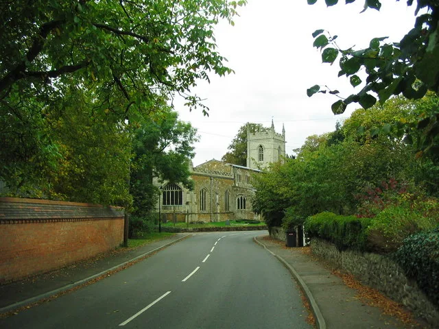
Ashby Folville Manor
Stately homes · 3.0 km
Nearby
📷 3Archaeological sites · East Midlands
Baggrave village earthwork
Baggrave village earthwork — a archaeological in england-west-midlands, United Kingdom.
📷 3Memorials & monuments · East Midlands
South Croxton War Memorial
South Croxton War Memorial — Grade II listed building-listed memorial in england-west-midlands, United Kingdom.
📷 3Memorials & monuments · East Midlands
Queen Elizabeth 2 Golden Jubilee 2002
Queen Elizabeth 2 Golden Jubilee 2002 is a memorial in the United Kingdom.
📷 3Memorials & monuments · East Midlands
Hungarton War Memorial
Hungarton War Memorial — Grade II listed building-listed memorial in england-west-midlands, United Kingdom.
📷 4Historic houses · East Midlands
Quenby Hall
Quenby Hall — a Grade I-listed historic house in england-west-midlands, United Kingdom.
📷 3Historic houses · East Midlands
Lowesby Hall
Lowesby Hall — Country house in Leicestershire, England, UK.
Where to eat & stay near Baggrave Hall
Places to stay
 📷 5
📷 5 📷 5
📷 5Caravan parks · East Midlands
Orchard Mobile Home Park
Orchard Mobile Home Park — a caravan park in england east midlands.
 📷 5
📷 5 📷 5
📷 5Caravan parks · East Midlands
Inglenook Park (Mobile Home Park)
Inglenook Park (Mobile Home Park) — a caravan park in england west midlands.
 📷 5
📷 5Caravan parks · East Midlands
Unicorn Mobile Home Park
Unicorn Mobile Home Park — a caravan park in england west midlands.
 📷 5
📷 5Campsites · East Midlands
Sysonby Acres Leisure Park
Sysonby Acres Leisure Park — a campsite in england east midlands.
Places to eat & drink
 📷 5
📷 5Historic pubs · East Midlands
The Stilton Cheese
The Stilton Cheese in England East Midlands, United Kingdom.
 📷 7
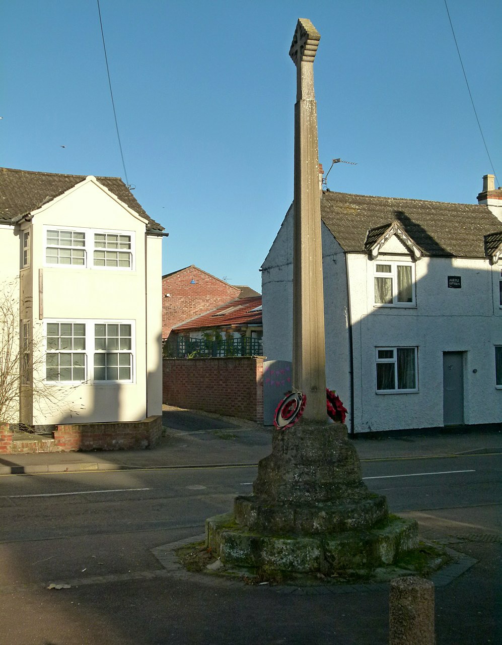
📷 7Historic pubs · East Midlands
The Blue Bell Public House
The Blue Bell Public House in England East Midlands, United Kingdom.
 📷 7
📷 7 📷 7
📷 7Historic pubs · East Midlands
Anne of Cleves
Anne of Cleves — Historic pub — listed building or notable heritage status.
 📷 7
📷 7Cafés · East Midlands
The Storehouse At The Fox
The Storehouse At The Fox — a café in england east midlands.
 📷 5
📷 5Historic pubs · East Midlands
Market Tavern
Market Tavern in England East Midlands, United Kingdom.
More gardens in this region
 📷 5
📷 5 📷 5
📷 5Gardens · East Midlands
Elgood's Brewery Visitor Centre and Gardens
Elgood's Brewery Visitor Centre and Gardens — a garden in england-london, United Kingdom.
 📷 5
📷 5Gardens · East Midlands
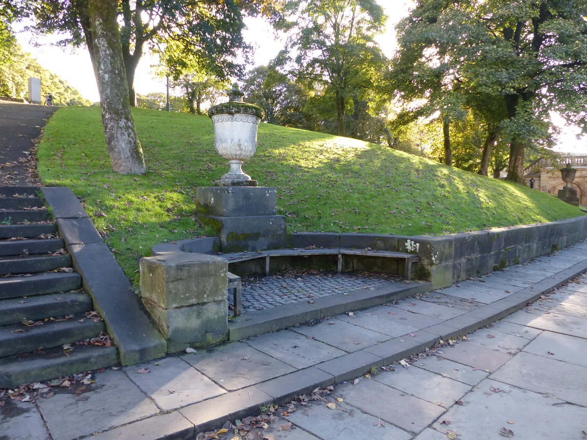
Buxton Pavilion Gardens
Buxton Pavilion Gardens is a Victorian landscaped public park in the spa town of Buxton in Derbyshire. The River Wye flows through the gardens, which are a Grade II* listed public park of Special Hist
 📷 3
📷 3Frequently asked questions
- Where is Baggrave Hall?
- Baggrave Hall is in Leicestershire, the West Midlands, United Kingdom (postcode LE7 9JB), in the parish of Hungarton.
- What is Baggrave Hall?
- Baggrave Hall — a garden in england-west-midlands, United Kingdom.
- How do I get to Baggrave Hall?
- The nearest railway station is Syston, about 8.0 km away. Drivers can use postcode LE7 9JB.
- How do I get to Baggrave Hall?
- Drivers can navigate to postcode LE7 9JB. It sits within the Rutland and Stamford parliamentary constituency.