
Castles · North West England
Atherton, Greater Manchester
In or near Haigh.
Atherton () is a town in the Metropolitan Borough of Wigan, Greater Manchester, England, historically part of Lancashire. It is five miles (eight kilometres) south of Bolton, seven miles (eleven kilom

Ian Greig — CC BY-SA 2.0 via Wikimedia Commons licence

Plan your visit
- Typical visit
- 1.5 h–3 h
- Nearest railway station
- Hag Fold · 1.2 km
- Family-friendly
- Limited wheelchair access
Getting there & planning your visit
To visit Atherton Castle in Greater Manchester, the nearest railway station is Hag Fold, which is 1.2 km away. The postcode for the location is M46 0AD. Accessibility is limited for wheelchair users.
About
Atherton () is a town in the Metropolitan Borough of Wigan, Greater Manchester, England, historically part of Lancashire. It is five miles (eight kilometres) south of Bolton, seven miles (eleven kilometres) east of Wigan, and 10 miles (16 kilometres) northwest of Manchester. During the Industrial Revolution, the town was a key part of the Manchester Coalfield. Atherton was associated with coal mining and nail manufacture from the 14th century, encouraged by outcropping coal seams. At the beginning of the 20th century, the town was described as "the centre of a district of collieries, cotton mills and iron-works, which cover the surface of the country with their inartistic buildings and surroundings, and are linked together by the equally unlovely dwellings of the people". Atherton's last deep coal mine closed in 1966, and the last cotton mill closed in 1999. Today the town is the third-largest retail centre in the Borough of Wigan; almost 20% of those employed in the area work in the wholesale and retail trades, although there is still some significant manufacturing industry in the town. Evidence has been discovered of a Roman road passing through the area, on the ancient route between Coccium (Wigan) and Mamucium (Manchester). Following the Anglo-Saxon invasion of England, Atherton, which is built on and around seven brooks, became part of the manor of Warrington until the Norman Conquest, when it became a township or vill in the ancient parish of Leigh. Since 1974 the town
Photo gallery
Official information
Wigan Borough is located in the north-west of England and is characterized by its rich industrial history and diverse landscapes. The area includes significant green spaces, including the Leeds-Liverpool Canal and various lakes, which are important for recreation and wildlife. The borough is also a hub for economic activity, with a focus on regeneration and sustainable development.
From the Wikipedia article
Atherton () is a town in the Metropolitan Borough of Wigan, Greater Manchester, England, historically part of Lancashire. It is five miles (eight kilometres) south of Bolton, seven miles (eleven kilometres) east of Wigan, and 10 miles (16 kilometres) northwest of Manchester. During the Industrial Revolution, the town was a key part of the Manchester Coalfield. Atherton was associated with coal mining and nail manufacture from the 14th century, encouraged by outcropping coal seams. At the beginning of the 20th century, the town was described as "the centre of a district of collieries, cotton mills and iron-works, which cover the surface of the country with their inartistic buildings and surroundings, and are linked together by the equally unlovely dwellings of the people". Atherton's last deep coal mine closed in 1966, and the last cotton mill closed in 1999. Today the town is the third-largest retail centre in the Borough of Wigan; almost 20% of those employed in the area work in the wholesale and retail trades, although there is still some significant manufacturing industry in the town. Evidence has been discovered of a Roman road passing through the area, on the ancient route between Coccium (Wigan) and Mamucium (Manchester). Following the Anglo-Saxon invasion of England, Atherton, which is built on and around seven brooks, became part of the manor of Warrington until the Norman Conquest, when it became a township or vill in the ancient parish of Leigh. Since 1974 the town has been part of the Metropolitan Borough of Wigan, a local government district of the Metropolitan County of Greater Manchester and since 2024 it has been part of the Leigh and Atherton parliamentary constituency.
Excerpt from Wikipedia under CC BY-SA 4.0. See the source article linked in Sources below.
Background
History
Evidence of a Roman road and Bronze Age settlement have been found in and around the area. The Roman road between Manchester and Wigan is shown on the 1849 6" OS map crossing Miller's Lane at 90 degrees about halfway down. The site of Gadbury Brickworks at Gibfield Colliery has been excavated, and evidence of Roman and possibly earlier settlements found.
Sourced from Wikipedia under CC BY-SA 4.0.
- Coordinates
- 53.5230, -2.4950
- District
- Wigan
- Parish
- Wigan, unparished area
- Postcode
- M46 0AD
- Parliamentary constituency
- Leigh and Atherton
- Nearest railway station
- Hag Fold — 1.2 km
- Official site
- www.wigan.gov.uk
Sources
- wikipedia: Atherton, Greater Manchester (CC BY-SA 4.0)
Other places nearby
Gem Electric Palace
Theatres · 0.1 km
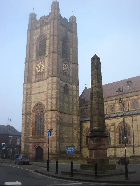
St John the Baptist's Church, Atherton
Historic churches · 0.3 km

Obelisk Adjacent To South-East Corner Of Church Of St. John The Baptist
Forts · 0.3 km
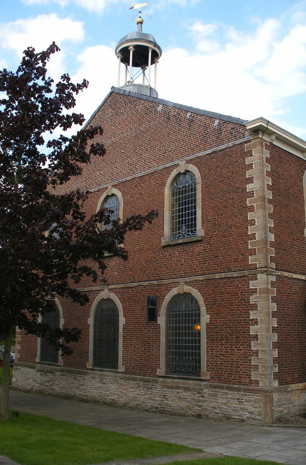
Chowbent Chapel
Historic churches · 0.6 km

Howe Bridge
Historic churches · 0.7 km

Alder House
Historic houses · 0.7 km

Fairview Caravan Park
Caravan parks · 0.9 km

Climbing New Heights
Public art & sculpture · 0.9 km
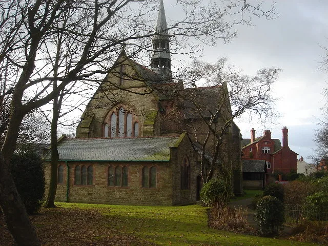
St Michael and All Angels' Church, Howe Bridge
Historic churches · 1.0 km
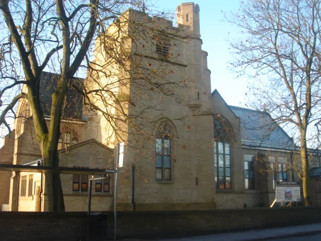
St Anne's Church, Hindsford
Historic churches · 1.0 km
Ella View Lodge
Caravan parks · 1.1 km

Hindsford
Historic churches · 1.3 km
Nearby
📷 3Theatres · North West England
Gem Electric Palace
Gem Electric Palace in England North West, United Kingdom.
📷 5Historic churches · North West England
St John the Baptist's Church, Atherton
St John the Baptist's Church, Atherton — grade II listed church in Atherton, Greater Manchester, England, UK.
📷 5Forts · North West England
Obelisk Adjacent To South-East Corner Of Church Of St. John The Baptist
Obelisk Adjacent To South-East Corner Of Church Of St. John The Baptist — a martello broad in england-north-west, United Kingdom.
📷 5Historic churches · North West England
Chowbent Chapel
Chowbent Chapel — church in Wigan, Greater Manchester, England, UK.
📷 5Historic churches · North West England
Howe Bridge
Howe Bridge — a church in england-north-west, United Kingdom.
📷 3Historic houses · North West England
Alder House
Alder House — house in Atherton, Wigan, Greater Manchester, England, UK.
Where to eat & stay near Atherton, Greater Manchester
Places to stay
📷 5Caravan parks · North West England
Fairview Caravan Park
Fairview Caravan Park — a caravan park in england north west.
📷 4Caravan parks · North West England
Ella View Lodge
Ella View Lodge — a caravan park in england north west.
 📷 5
📷 5Hostels · North West England
Riverside Project
Riverside Project — a hostel in england west midlands.
 📷 5
📷 5Caravan parks · North West England
Brookdale Park
Brookdale Park — a caravan park in england north west.
 📷 5
📷 5Campsites · North West England
Hollinwood Scout Camp
Hollinwood Scout Camp — a campsite in england west midlands.
 📷 5
📷 5Hotels · North West England
Bolton Georgian House Hotel
Bolton Georgian House Hotel — a hotel in england north west.
Places to eat & drink
 📷 5
📷 5Historic pubs · North West England
The Shakespeare
The Shakespeare in England North West, United Kingdom.
 📷 5
📷 5Historic pubs · North West England
Worsley Old Hall
Worsley Old Hall in England North West, United Kingdom.
 📷 5
📷 5Historic pubs · North West England
Ye Olde Man & Scythe
Ye Olde Man & Scythe — Historic pub — listed building or notable heritage status.
 📷 7
📷 7Historic pubs · North West England
Blundell Arms
Blundell Arms in England North West, United Kingdom.
 📷 6
📷 6Historic pubs · North West England
Royal Oak Hotel
Royal Oak Hotel in England North West, United Kingdom.
 📷 5
📷 5Historic pubs · North West England
John Bull Chop House
John Bull Chop House — Historic pub — listed building or notable heritage status.
More castles in this region
 📷 3
📷 3Castles · North West England
Manchester Castle
Manchester Castle — medieval fortified manor house in England.
 📷 5
📷 5Castles · North West England
Mow Cop Castle
Mow Cop Castle — folly on the Cheshire and Staffordshire border, England, UK.
 📷 3
📷 3 📷 3
📷 3Castles · North West England
Ullerwood Castle
Ullerwood Castle — castle in Greater Manchester, England.
Frequently asked questions
- Where is Atherton, Greater Manchester?
- Atherton, Greater Manchester is in North-West England, United Kingdom (postcode M46 0AD), in the parish of Wigan, unparished area.
- What is Atherton, Greater Manchester?
- Atherton () is a town in the Metropolitan Borough of Wigan, Greater Manchester, England, historically part of Lancashire. It is five miles (eight kilometres) south of Bolton, seven miles (eleven kilom
- How do I get to Atherton, Greater Manchester?
- The nearest railway station is Hag Fold, about 1.2 km away. Drivers can use postcode M46 0AD.
- Does Atherton, Greater Manchester charge admission?
- Atherton, Greater Manchester typically charges admission. Check the official site for current ticket prices and opening hours.
- How do I get to Atherton, Greater Manchester?
- The nearest railway station is Hag Fold, about 1.2 km away. Drivers can navigate to postcode M46 0AD.