
Castles · East Midlands
Aslockton Castle
In or near Thoroton.
Aslockton Castle is a ruined fortification, a motte-and-bailey castle, in the village of Aslockton, Nottinghamshire. (grid reference SK744402) The original name of the settlement was Aslachetone, whic

Alan Murray-Rust — CC BY-SA 2.0 via Wikimedia Commons licence

Plan your visit
- Typical visit
- 1.5 h–3 h
- Nearest railway station
- Aslockton · 0.4 km
- Family-friendly
- Limited wheelchair access
Getting there & planning your visit
Aslockton Castle is located in the East Midlands, Nottinghamshire, with the postcode NG13 9AQ. The nearest railway station is Aslockton, which is 0.4 km away. Entry is free, but wheelchair accessibility is limited.
About
Aslockton Castle is a ruined fortification, a motte-and-bailey castle, in the village of Aslockton, Nottinghamshire. (grid reference SK744402) The original name of the settlement was Aslachetone, which suggests a possible Norse origin; it was mentioned in the Domesday Book of 1086 where it was described as a large settlement. A motte-and-bailey fortress was built in the 12th century. Only the earthworks now remain. The precise date as to when the castle was built is unknown. However, it was most probably built in the 11th or the early 12th century. The ground plan of the castle is in the shape of a parallelogram, which houses two courts, one of which is square in form. The motte most probably had a wooden tower and a palisade. The castle had two rectangular baileys, an inner bailey and an outer bailey, with the smaller outer bailey used for livestock. The moat of the castle would have been fed from the nearby stream. At some stage the fort went out of use and was replaced by a manorial site which later became Saucer Farm. The earthworks surrounding the baileys were modified to form fishponds, fed by the stream that had filled the moat. Additional channels were dug, and sluice gates controlled the water flow. Later, formal gardens were laid out around the ponds and the motte served as an elevated viewing platform. The motte, which today stands 16 feet high, is now called Cranmer's Mound or Cranmer's mount after Thomas Cranmer, who was born here in 1489, and rose to become Arch
Photo gallery
From the Wikipedia article
Aslockton Castle is a ruined fortification, a motte-and-bailey castle, in the village of Aslockton, Nottinghamshire. (grid reference SK744402) The original name of the settlement was Aslachetone, which suggests a possible Norse origin; it was mentioned in the Domesday Book of 1086 where it was described as a large settlement. A motte-and-bailey fortress was built in the 12th century. Only the earthworks now remain. The precise date as to when the castle was built is unknown. However, it was most probably built in the 11th or the early 12th century. The ground plan of the castle is in the shape of a parallelogram, which houses two courts, one of which is square in form. The motte most probably had a wooden tower and a palisade. The castle had two rectangular baileys, an inner bailey and an outer bailey, with the smaller outer bailey used for livestock. The moat of the castle would have been fed from the nearby stream. At some stage the fort went out of use and was replaced by a manorial site which later became Saucer Farm. The earthworks surrounding the baileys were modified to form fishponds, fed by the stream that had filled the moat. Additional channels were dug, and sluice gates controlled the water flow. Later, formal gardens were laid out around the ponds and the motte served as an elevated viewing platform. The motte, which today stands 16 feet high, is now called Cranmer's Mound or Cranmer's mount after Thomas Cranmer, who was born here in 1489, and rose to become Archbishop of Canterbury. According to local accounts, he used to sit on the high mound during his early youth to listen to the tuneable bells of the nearby church of Whatton-in-the-Vale. Previously the locals had named the mound Bailey Hills. To the south east two rectangular platforms enclosed by ditches are the sites of later houses of the Cranmer family. The site is a scheduled monument.
Excerpt from Wikipedia under CC BY-SA 4.0. See the source article linked in Sources below.
- Coordinates
- 52.9540, -0.8940
- County
- Nottinghamshire
- District
- Rushcliffe
- Parish
- Aslockton
- Postcode
- NG13 9AQ
- Parliamentary constituency
- Newark
- Nearest railway station
- Aslockton — 0.4 km
- Official site
- thegreatbritainguide.com
Sources
- wikipedia: Aslockton Castle (CC BY-SA 4.0)
Other places nearby

Aslockton Castle
Literary houses · 0.0 km
Cranmer's Mount
Historic houses · 0.0 km
Aslockton Cranmers Mound
Castles · 0.1 km
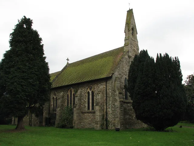
St. Thomas' Church, Aslockton
Historic churches · 0.1 km

Aslockton railway station
Heritage railway stations · 0.4 km
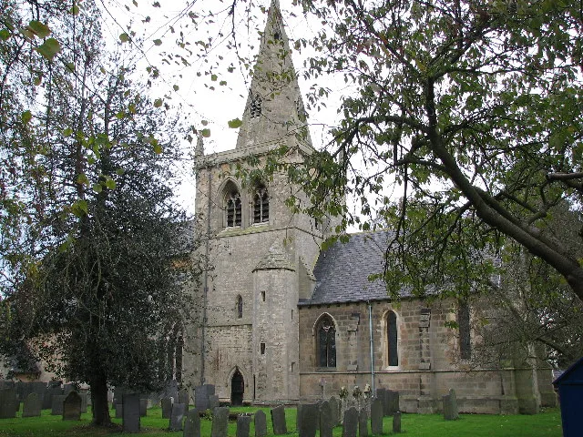
Church of St. John of Beverley, Whatton
Historic churches · 0.5 km

Whatton
Villages · 0.9 km

Windmill At Hillyside House
Windmills · 1.0 km

Scarrington Horseshoe pile
Natural landmarks · 1.6 km
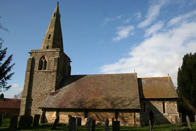
Church of St. John of Beverley, Scarrington
Historic churches · 1.7 km

Scarrington
Villages · 1.7 km

Thorough Bridge
Historic bridges · 2.2 km
Nearby
📷 5Literary houses · East Midlands
Aslockton Castle
Aslockton Castle — a literary house museum in england east midlands.
📷 3Historic houses · East Midlands
Cranmer's Mount
Cranmer's Mount — a historic house in england-east-midlands, United Kingdom.
📷 5Castles · East Midlands
Aslockton Cranmers Mound
Aslockton Cranmers Mound — a castle in england east midlands.
📷 3Historic churches · East Midlands
St. Thomas' Church, Aslockton
St. Thomas' Church, Aslockton — grade II listed church in Aslockton, Rushcliffe, Nottinghamshire, England, UK.
📷 4Heritage railway stations · East Midlands
Aslockton railway station
Aslockton railway station — a Grade II*-listed railway station in england-east-midlands, United Kingdom.
📷 3Historic churches · East Midlands
Church of St. John of Beverley, Whatton
Church of St. John of Beverley, Whatton — church in Whatton-in-the-Vale, Rushcliffe, Nottinghamshire, England, UK.
Where to eat & stay near Aslockton Castle
Places to stay
 📷 5
📷 5 📷 5
📷 5B&Bs · East Midlands
East Bridgford Hill
East Bridgford Hill — a bed-and-breakfast in england east midlands.
 📷 5
📷 5Campsites · East Midlands
Gunthorpe Camping
Gunthorpe Camping — a campsite in england east midlands.
 📷 5
📷 5Caravan parks · East Midlands
The Landings at Langar
The Landings at Langar — a caravan park in england east midlands.
 📷 5
📷 5Caravan parks · East Midlands
Riverdale Caravan Park
Riverdale Caravan Park — a caravan park in england east midlands.
 📷 5
📷 5Campsites · East Midlands
Oddhouse Farm Glamping
Oddhouse Farm Glamping — a campsite in england east midlands.
Places to eat & drink
 📷 5
📷 5 📷 7
📷 7Historic pubs · East Midlands
The Muston Gap Public House
The Muston Gap Public House in England East Midlands, United Kingdom.
 📷 5
📷 5Historic pubs · East Midlands
The Nags Head Public (number 20) House And Attached Walls, Railings, Gate And Overthrow
The Nags Head Public (number 20) House And Attached Walls, Railings, Gate And Overthrow in England East Midlands, United Kingdom.
 📷 5
📷 5Historic pubs · East Midlands
Manvers Arms Public House
Manvers Arms Public House in England East Midlands, United Kingdom.
 📷 5
📷 5Historic pubs · East Midlands
Woolpack Public House
Woolpack Public House in England East Midlands, United Kingdom.
 📷 7
📷 7Historic pubs · East Midlands
The Spring House Public House
The Spring House Public House in England East Midlands, United Kingdom.
More castles in this region
 📷 4
📷 4Castles · East Midlands
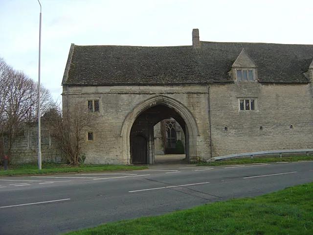
Maxey Castle
Maxey Castle — castle, now ruinous, in Maxey, Cambridgeshire, England, UK.
 📷 5
📷 5Castles · East Midlands
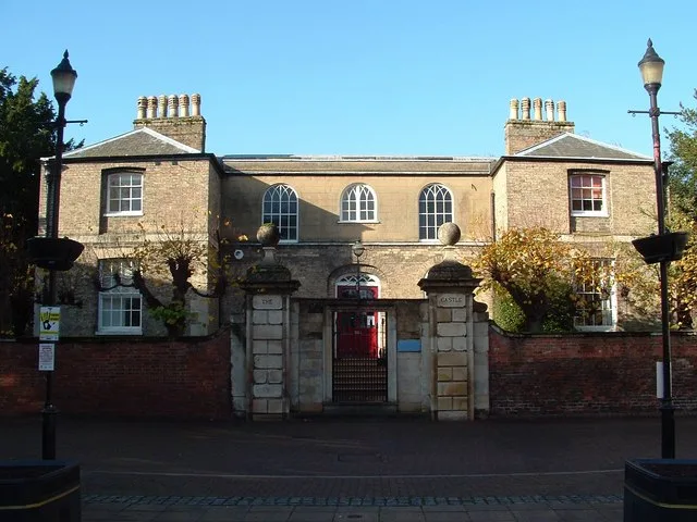
Northborough Manor House
Northborough Manor House — Grade I listed house in Northborough, Peterborough, Cambridgeshire, England, UK.
 📷 5
📷 5Castles · East Midlands
Wisbech Castle
Wisbech Castle — former castle in Wisbech, Cambridgeshire, England.
 📷 5
📷 5Castles · East Midlands
Site of Stamford Castle
Site of Stamford Castle — a castle in england-london, United Kingdom.
Frequently asked questions
- Where is Aslockton Castle?
- Aslockton Castle is in Nottinghamshire, the East Midlands, United Kingdom (postcode NG13 9AQ), in the parish of Aslockton.
- What is Aslockton Castle?
- Aslockton Castle is a ruined fortification, a motte-and-bailey castle, in the village of Aslockton, Nottinghamshire. (grid reference SK744402) The original name of the settlement was Aslachetone, whic
- How do I get to Aslockton Castle?
- The nearest railway station is Aslockton, about 0.4 km away. Drivers can use postcode NG13 9AQ.
- Does Aslockton Castle charge admission?
- Aslockton Castle typically charges admission. Check the official site for current ticket prices and opening hours.
- How do I get to Aslockton Castle?
- The nearest railway station is Aslockton, about 0.4 km away. Drivers can navigate to postcode NG13 9AQ.