
Castles · East Midlands
Annesley
In or near Linby.
Annesley is a village and civil parish in the Ashfield district of Nottinghamshire, England, between Hucknall and Kirkby-in-Ashfield. At the 2011 census, it had a population of 1,162 (including Annes

Dave Bevis — CC BY-SA 2.0 via Wikimedia Commons licence

Plan your visit
- Typical visit
- 1.5 h–3 h
- Nearest railway station
- Newstead · 2.0 km
- Family-friendly
- Limited wheelchair access
Getting there & planning your visit
To visit Annesley Castle, the nearest railway station is Newstead, located 2 km away. The postcode for sat-nav is NG17 9DN. Please note that accessibility is limited for wheelchair users.
About
Annesley is a village and civil parish in the Ashfield district of Nottinghamshire, England, between Hucknall and Kirkby-in-Ashfield. At the 2011 census, it had a population of 1,162 (including Annesley Woodhouse to the west), and this increased to 1,814 at the 2021 census. Annesley Hall is a grade two listed building, once owned by the Chaworth-Musters family, which has connections to the Byron family of nearby Newstead Abbey. Annesley Old Church was mentioned by Lord Byron and D. H. Lawrence. There is also close by the earthworks of Annesley Castle. The village of Annesley Woodhouse is to the north of the parish, it mostly lies outside, instead being within the unparished area of Kirkby-in-Ashfield. The residential area of Annesley Lane End is at the north western edge of the parish and merges into neighbouring Selston. The Misk Hills lie to the south of the village. Annesley is part of Nottinghamshire's Hidden Valleys area. The parish is grouped with the neighbouring parish of Felley to elect a joint parish council. The old church of Annesley was dedicated to All Saints. It was allowed to become derelict in the 1940s. Features of interest included the east window of the south aisle, the 13th century sedilia and the 17th century royal arms in stucco. The village is on the A611 for Mansfield near junction 27 of the M1. Nearby to the south is the roundabout with the A608, which is now a thoroughfare to Sherwood Park Enterprise Zone. It was connected to Nottingham by rail un
Photo gallery
From the Wikipedia article
Annesley is a village and civil parish in the Ashfield district of Nottinghamshire, England, between Hucknall and Kirkby-in-Ashfield. At the 2011 census, it had a population of 1,162 (including Annesley Woodhouse to the west), and this increased to 1,814 at the 2021 census. Annesley Hall is a grade two listed building, once owned by the Chaworth-Musters family, which has connections to the Byron family of nearby Newstead Abbey. Annesley Old Church was mentioned by Lord Byron and D. H. Lawrence. There is also close by the earthworks of Annesley Castle. The village of Annesley Woodhouse is to the north of the parish, it mostly lies outside, instead being within the unparished area of Kirkby-in-Ashfield. The residential area of Annesley Lane End is at the north western edge of the parish and merges into neighbouring Selston. The Misk Hills lie to the south of the village. Annesley is part of Nottinghamshire's Hidden Valleys area. The parish is grouped with the neighbouring parish of Felley to elect a joint parish council. The old church of Annesley was dedicated to All Saints. It was allowed to become derelict in the 1940s. Features of interest included the east window of the south aisle, the 13th century sedilia and the 17th century royal arms in stucco. The village is on the A611 for Mansfield near junction 27 of the M1. Nearby to the south is the roundabout with the A608, which is now a thoroughfare to Sherwood Park Enterprise Zone. It was connected to Nottingham by rail until Annesley railway station closed in 1953.
Excerpt from Wikipedia under CC BY-SA 4.0. See the source article linked in Sources below.
- Coordinates
- 53.0810, -1.2450
- County
- Nottinghamshire
- District
- Ashfield
- Parish
- Ashfield, unparished area
- Postcode
- NG17 9DN
- Parliamentary constituency
- Ashfield
- Nearest railway station
- Newstead — 2 km
- Official site
- www.annesleyfelley-pc.org.uk
Sources
- wikipedia: Annesley (CC BY-SA 4.0)
Other places nearby

East Kirkby
Villages · 0.4 km

Annesley Colliery
Public art & sculpture · 0.5 km
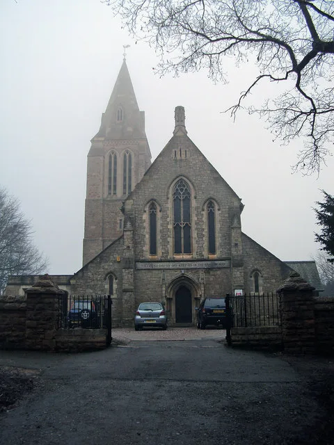
All Saints' Church, Annesley
Historic churches · 0.6 km
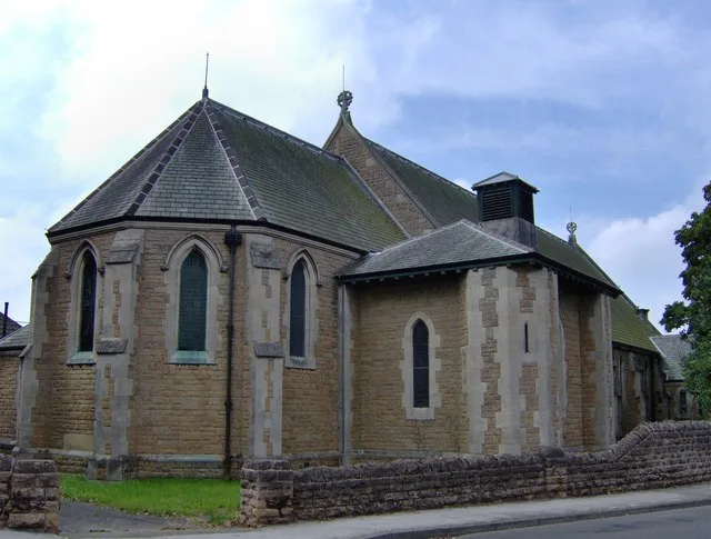
St John the Evangelist's Church, Kirkby Woodhouse
Historic churches · 1.0 km

RAF Stirling Memorial
Memorials & monuments · 1.2 km

War Memorial and Boundary Wall
Memorials & monuments · 1.4 km

Annesley Hall Gatehouse and Stables
Historic houses · 1.7 km

Annesley Hall Gatehouse and Stables
Archaeological sites · 1.7 km
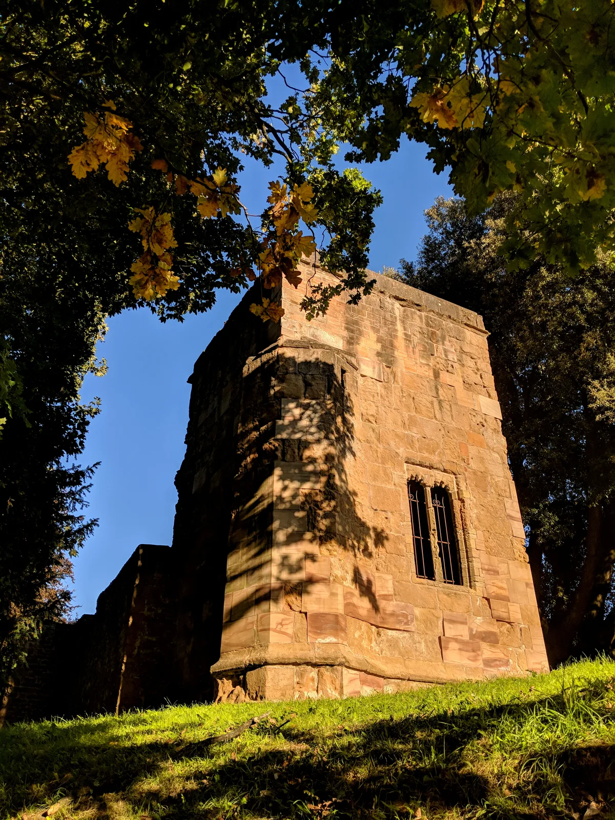
Annesley Old Church
Historic churches · 1.7 km

Annesley Hall
Historic houses · 1.7 km

Annesley Hall
Archaeological sites · 1.7 km

Newstead War Memorial
Memorials & monuments · 1.7 km
Nearby
📷 5📷 3Public art & sculpture · East Midlands
Annesley Colliery
Annesley Colliery — a public art in england-east-midlands, United Kingdom.
📷 3Historic churches · East Midlands
All Saints' Church, Annesley
All Saints' Church, Annesley — church in Annesley, Ashfield, Nottinghamshire, England, UK.
📷 3Historic churches · East Midlands
St John the Evangelist's Church, Kirkby Woodhouse
St John the Evangelist's Church, Kirkby Woodhouse — church in Kirkby Woodhouse, Nottinghamshire, UK.
📷 3Memorials & monuments · East Midlands
RAF Stirling Memorial
RAF Stirling Memorial — a memorial in england-east-midlands, United Kingdom.
📷 3Memorials & monuments · East Midlands
War Memorial and Boundary Wall
War Memorial and Boundary Wall — Grade II listed building-listed memorial in england-east-midlands, United Kingdom.
Where to eat & stay near Annesley
Places to stay
 📷 5
📷 5Campsites · East Midlands
Notts Sun Club
Notts Sun Club — a campsite in england east midlands.
 📷 5
📷 5Campsites · East Midlands
Fairview Farm Holiday Accomodation
Fairview Farm Holiday Accomodation — a campsite in england east midlands.
 📷 5
📷 5 📷 5
📷 5 📷 5
📷 5Campsites · East Midlands
Teversal Camping and Caravaning Club
Teversal Camping and Caravaning Club — a campsite in england east midlands.
 📷 5
📷 5Campsites · East Midlands
Golden Valley Caravan Park
Golden Valley Caravan Park — a campsite in england east midlands.
Places to eat & drink
 📷 7
📷 7Cafés · East Midlands
Mortons Farm Tea Rooms
Mortons Farm Tea Rooms — a café in england east midlands.
 📷 7
📷 7 📷 5
📷 5Historic pubs · East Midlands
Portland Arms Public House
Portland Arms Public House in England East Midlands, United Kingdom.
 📷 5
📷 5Historic pubs · East Midlands
The Old Ram Public House
The Old Ram Public House in England East Midlands, United Kingdom.
 📷 5
📷 5 📷 5
📷 5Historic pubs · East Midlands
The Bridge Tavern Public House
The Bridge Tavern Public House in England East Midlands, United Kingdom.
More castles in this region
 📷 4
📷 4Castles · East Midlands
Maxey Castle
Maxey Castle — castle, now ruinous, in Maxey, Cambridgeshire, England, UK.
 📷 5
📷 5Castles · East Midlands
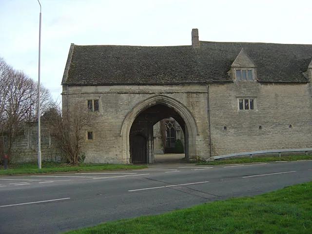
Northborough Manor House
Northborough Manor House — Grade I listed house in Northborough, Peterborough, Cambridgeshire, England, UK.
 📷 5
📷 5Castles · East Midlands
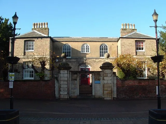
Wisbech Castle
Wisbech Castle — former castle in Wisbech, Cambridgeshire, England.
 📷 5
📷 5Castles · East Midlands
Site of Stamford Castle
Site of Stamford Castle — a castle in england-london, United Kingdom.
Frequently asked questions
- Where is Annesley?
- Annesley is in Nottinghamshire, the East Midlands, United Kingdom (postcode NG17 9DN), in the parish of Ashfield, unparished area.
- What is Annesley?
- Annesley is a village and civil parish in the Ashfield district of Nottinghamshire, England, between Hucknall and Kirkby-in-Ashfield. At the 2011 census, it had a population of 1,162 (including Annes
- How do I get to Annesley?
- The nearest railway station is Newstead, about 2.0 km away. Drivers can use postcode NG17 9DN.
- Does Annesley charge admission?
- Annesley typically charges admission. Check the official site for current ticket prices and opening hours.
- How do I get to Annesley?
- The nearest railway station is Newstead, about 2.0 km away. Drivers can navigate to postcode NG17 9DN.