
Reservoirs & lochs · Yorkshire & the Humber
Angram Reservoir
In or near Lofthouse.
Angram Reservoir — reservoir in North Yorkshire, England, UK.

Wikimedia Commons contributors — see linked file page for photographer and licence licence

Plan your visit
- Typical visit
- 1 h–2.5 h
- Free entry
- Dog-friendly
About
Angram Reservoir is a reservoir in the United Kingdom. Managed by Bradford Corporation Water Works. Wikidata describes it as: "reservoir in North Yorkshire, England, UK". Coordinates: 54.1806°, -1.9394°.
Photo gallery
Protected designations
- Area of Outstanding Natural Beauty: Nidderdale
Designations sourced from Natural England open data under OGL v3.
From the Wikipedia article
Angram Reservoir is the first of three reservoirs on the River Nidd in Upper Nidderdale, North Yorkshire, England, the others being Scar House Reservoir and finally the compensation reservoir Gouthwaite Reservoir. It is located at OS map reference SE040759. Between them they attract around 150,000 visitors a year. The reservoir takes its name from Angram, a settlement in the township of Stonebeck Up, submerged when the reservoir was completed in 1919. Little Whernside (604 metres [1,982 ft]) to the north and Great Whernside (704 metres [2,310 ft]) to the west of the reservoir are close by. The River Nidd flows for approximately 2 miles (3 km) from the flanks of Great Whernside before joining the reservoir.
Excerpt from Wikipedia under CC BY-SA 4.0. See the source article linked in Sources below.
Background
History
The reservoir was built to supply water to the Bradford area of West Yorkshire. It was built by Bradford Corporation between 1904 and 1919, under the Bradford Corporation Waterworks Act 1890 (53 & 54 Vict. c. ccxxxi) which also authorised the corporation to construct three other reservoirs in upper Nidderdale. Haden Carr reservoir was first built in the 1890s, just below Angram, and the works included the Nidd Aqueduct, by which water was transferred from Haden Carr to Chellow Heights via the Nidd Aqueduct using gravity only and no pumping. A small village was constructed at Angram site to house workers. The dam was faced with stone, which came from a quarry on the south side of the dale…
Sourced from Wikipedia under CC BY-SA 4.0.
- Coordinates
- 54.1806, -1.9394
- Address
- Upper Nidderdale, North Yorkshire
Sources
- wikidata: Q542859 (CC0)
- wikipedia: Angram Reservoir (CC BY-SA 4.0)
- commons: AngramReservoir.jpg (CC BY-SA 4.0)
Other places nearby

Calf Barn
Archaeological sites · 1.7 km
Ing Barn
Archaeological sites · 1.9 km
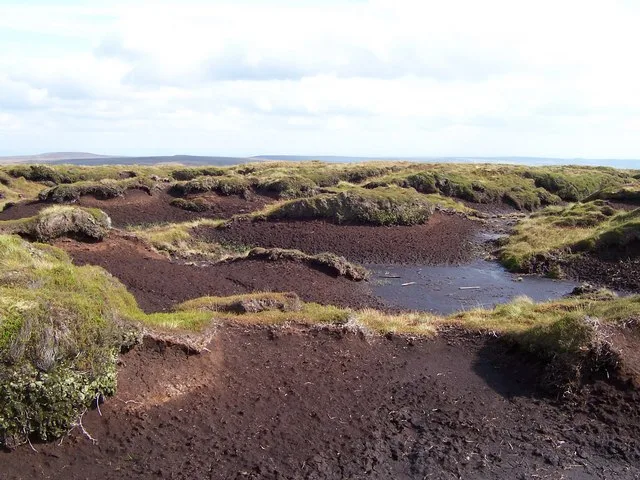
Little Whernside
Mountains & hills · 2.0 km
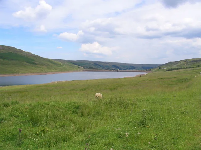
Scar House Reservoir
Reservoirs & lochs · 2.0 km
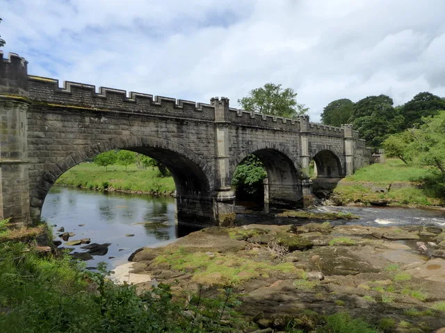
Nidd Aqueduct
Aqueducts · 2.0 km

Dead Man's Hill
Mountains & hills · 2.4 km

Scar House
Vineyards · 2.7 km

Little Whernside
Mountains & hills · 2.8 km
Dead Man's Hill
Mountains & hills · 2.8 km

former lime kiln
Archaeological sites · 3.5 km

Rain Stang
Mountains & hills · 4.0 km

Fire House Lathe
Archaeological sites · 4.1 km
Nearby
📷 3Archaeological sites · Yorkshire & the Humber
Calf Barn
Calf Barn — an archaeological site in Yorkshire & the Humber, United Kingdom.
📷 3Archaeological sites · Yorkshire & the Humber
Ing Barn
Ing Barn — an archaeological site in Yorkshire & the Humber, United Kingdom.
📷 3Mountains & hills · Yorkshire & the Humber
Little Whernside
Little Whernside — Named summit at 604.7 m.
📷 3Reservoirs & lochs · Yorkshire & the Humber
Scar House Reservoir
Scar House Reservoir — reservoir in North Yorkshire, England, UK.
📷 3Aqueducts · Yorkshire & the Humber
Nidd Aqueduct
Nidd Aqueduct — water supply aqueduct linking Upper Nidderdale with the city of Bradford in the UK.
📷 5Mountains & hills · Yorkshire & the Humber
Dead Man's Hill
Dead Man's Hill — mountain in england yorkshire. Elevation: 533 m.
Where to eat & stay near Angram Reservoir
Places to stay
 📷 5
📷 5Hostels · Yorkshire & the Humber
Hag Dyke Scout Hostel
Hag Dyke Scout Hostel — a hostel in england north west.
 📷 5
📷 5Campsites · Yorkshire & the Humber
Studfold Farm Caravan and Camping Park
Studfold Farm Caravan and Camping Park — a campsite in england yorkshire.
📷 5Caravan parks · Yorkshire & the Humber
Studfold Farm Static Caravan Park
Studfold Farm Static Caravan Park — a caravan park in england yorkshire.
 📷 5
📷 5Campsites · Yorkshire & the Humber
Kettlewell Camping Top Field
Kettlewell Camping Top Field — a campsite in england north west.
 📷 5
📷 5Hostels · Yorkshire & the Humber
Kettlewell Youth Hostel
Kettlewell Youth Hostel — a hostel in england north west.
 📷 5
📷 5Campsites · Yorkshire & the Humber
Kettlewell Camping
Kettlewell Camping — a campsite in england north west.
Places to eat & drink
 📷 5
📷 5Historic pubs · Yorkshire & the Humber
Foresters Arms Inn
Foresters Arms Inn in England Yorkshire, United Kingdom.
 📷 7
📷 7Historic pubs · Yorkshire & the Humber
Fox And Hounds Inn
Fox And Hounds Inn in England Yorkshire, United Kingdom.
 📷 5
📷 5Historic pubs · Yorkshire & the Humber
Grassington House Hotel
Grassington House Hotel in England Yorkshire, United Kingdom.
 📷 6
📷 6Historic pubs · Yorkshire & the Humber
The Blue Lion
The Blue Lion in England Yorkshire, United Kingdom.
 📷 7
📷 7Cafés · Yorkshire & the Humber
The Castle Keep Tea Room
The Castle Keep Tea Room — a café in england yorkshire.
 📷 7
📷 7Cafés · Yorkshire & the Humber
Kim's Cafe & Bistro
Kim's Cafe & Bistro — a café in england yorkshire.
More places run by Bradford Corporation Water Works
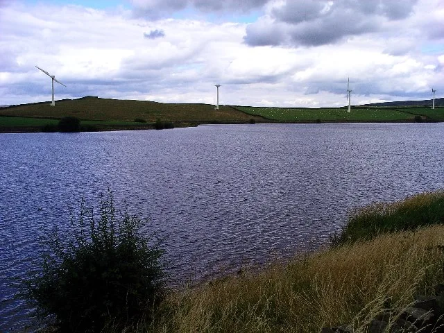 Flagship📷 3
Reservoirs & lochs · Yorkshire & the Humber
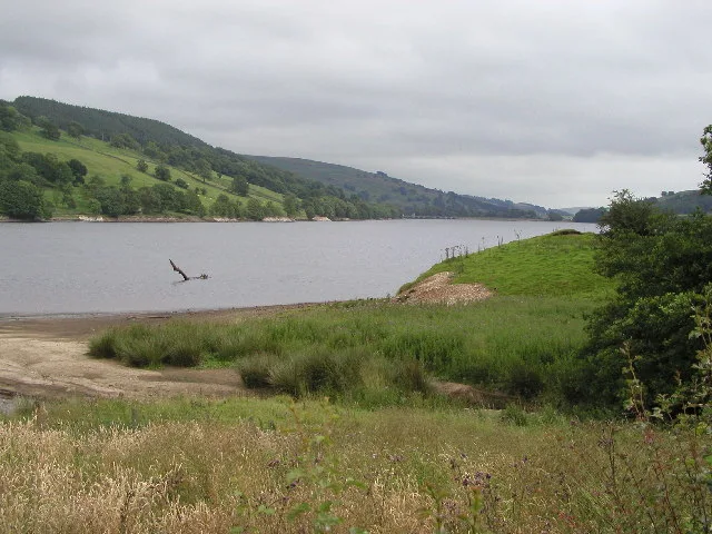
Chelker Reservoir
Chelker Reservoir — reservoir in North Yorkshire, England, UK.
 📷 3
📷 3Reservoirs & lochs · Yorkshire & the Humber
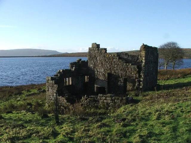
Gouthwaite Reservoir
Gouthwaite Reservoir — reservoir in North Yorkshire, England, UK.
 📷 4
📷 4Reservoirs & lochs · Yorkshire & the Humber
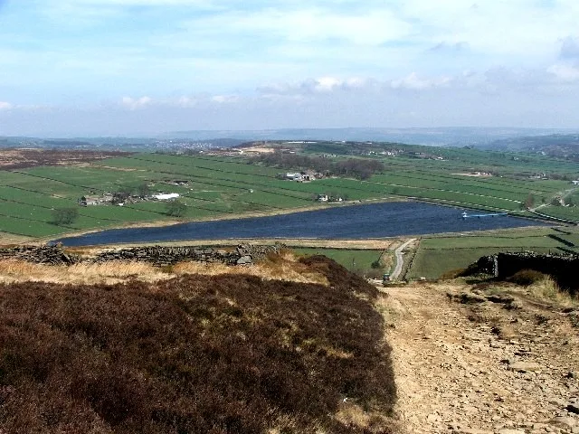
Grimwith Reservoir
Grimwith Reservoir — reservoir in North Yorkshire, England, UK.
 📷 3
📷 3Reservoirs & lochs · Yorkshire & the Humber
Leeshaw Reservoir
Leeshaw Reservoir — reservoir in West Yorkshire, England, UK.
More places in this region
 📷 3
📷 3Reservoirs & lochs · Yorkshire & the Humber
Godley Reservoir
Godley Reservoir — reservoir in Greater Manchester, England, UK.
 📷 3
📷 3Reservoirs & lochs · Yorkshire & the Humber
Gorton Lower Reservoir
Gorton Lower Reservoir — reservoir in Greater Manchester, England, UK.
 Flagship📷 5
Reservoirs & lochs · Yorkshire & the Humber
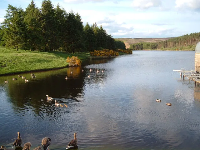
Cod Beck Reservoir
Cod Beck Reservoir — reservoir in North Yorkshire, England, UK.
 📷 5
📷 5Reservoirs & lochs · Yorkshire & the Humber
Baitings Reservoir
Baitings Reservoir — reservoir in West Yorkshire, England, UK.
Frequently asked questions
- Where is Angram Reservoir?
- Angram Reservoir is in Yorkshire, United Kingdom.
- What is Angram Reservoir?
- Angram Reservoir — reservoir in North Yorkshire, England, UK.
- How do I get to Angram Reservoir?
- The nearest town is Lofthouse. Its coordinates are 54.1806°, -1.9394°.
- Who runs Angram Reservoir?
- Angram Reservoir is operated by Bradford Corporation Water Works.
- Is Angram Reservoir a protected site?
- Yes — Angram Reservoir is part of the Nidderdale National Landscape (AONB).
- Is Angram Reservoir free to visit?
- Yes, Angram Reservoir is free to enter.