
Aqueducts · Yorkshire & the Humber
Nidd Aqueduct
In or near Lofthouse.
Nidd Aqueduct — water supply aqueduct linking Upper Nidderdale with the city of Bradford in the UK.

Wikimedia Commons contributors — see linked file page for photographer and licence licence
.jpg)
Plan your visit
- Typical visit
- 30 min–1 h
- Free entry
- Dog-friendly
About
Nidd Aqueduct is a aqueduct in the United Kingdom. Wikidata describes it as: "water supply aqueduct linking Upper Nidderdale with the city of Bradford in the UK.". Coordinates: 54.1881°, -1.9111°.
Photo gallery
Protected designations
- Area of Outstanding Natural Beauty: Nidderdale
Designations sourced from Natural England open data under OGL v3.
From the Wikipedia article
The Nidd Aqueduct is an aqueduct or man-made watercourse in North Yorkshire, England. It feeds water from Angram and Scar House reservoirs in upper Nidderdale, North Yorkshire 32 mi (51 km) to Bradford in West Yorkshire. The aqueduct supplies 21,000,000 imp gal (95,000 m3) of water per day to Chellow Heights water treatment works. The aqueduct and the reservoirs it connects to are all maintained by Yorkshire Water.
Excerpt from Wikipedia under CC BY-SA 4.0. See the source article linked in Sources below.
Background
History
The Bradford Corporation Waterworks Act 1892 (55 & 56 Vict. c. cxxxii) gave the City of Bradford powers to dam the River Nidd and its tributary Stone Beck in upper Nidderdale, and to build a conduit that delivered the water by gravity to Chellow Heights in Bradford. As Bradford has no major rivers running through it, the city needed fresh water for drinking and to be able to process wool (fulling). At that time, both Nidderdale and Bradford were in the West Riding of Yorkshire. The first two reservoirs, Hayden Carr and Gouthwaite, were constructed in the early 1890s. Work started at Hayden Carr in 1894 by Morrison and Mason of Edinburgh. In 1893 John Best & Son started at Gouthwaite…
Architecture
The route of the aqueduct is mostly sub-surface, apart from some small sections that drain water into the aqueduct. It was constructed from 12 mi of cut-and-cover, 15 mi of steel and cast-iron pipes and 6 mi of branch feeder pipes. The route is entirely fed by gravity and the use of syphons. These also pick water up from other becks and streams in Nidderdale that the aqueduct crosses. The aqueduct is over 6 ft high inside and is lined with concrete. The only evidence of the aqueduct is in the various crossing bridges and syphons where the route goes across other bodies of water. Most of the exposed sections of the aqueduct have crenellated walls and towers. The bridge over the River Wharfe…
Sourced from Wikipedia under CC BY-SA 4.0.
- Coordinates
- 54.1881, -1.9111
- District
- North Yorkshire
- Parish
- Stonebeck Up
- Postcode
- HG3 5SW
- Parliamentary constituency
- Skipton and Ripon
- Established
- 1899
Sources
- wikidata: Q23042108 (CC0)
- wikipedia: Nidd Aqueduct (CC BY-SA 4.0)
- commons: Aqueduct spanning the River Wharfe (geograph 5819365).jpg (CC BY-SA 4.0)
Other places nearby
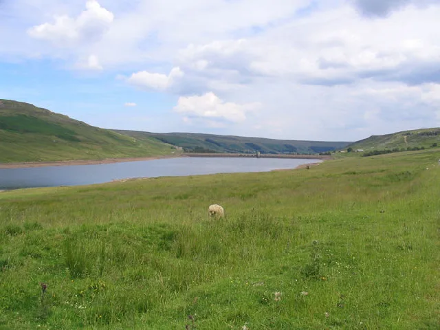
Scar House Reservoir
Reservoirs & lochs · 0.0 km

Ing Barn
Archaeological sites · 0.4 km
Calf Barn
Archaeological sites · 0.4 km

Scar House
Vineyards · 0.9 km

Dead Man's Hill
Mountains & hills · 1.4 km
Dead Man's Hill
Mountains & hills · 1.6 km
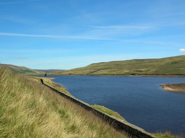
Angram Reservoir
Reservoirs & lochs · 2.0 km

Sportsman's Rest
Historic houses · 2.3 km

Rain Stang
Mountains & hills · 2.4 km

Great Haw
Mountains & hills · 2.8 km
Great Haw
Mountains & hills · 2.9 km

former barn
Archaeological sites · 3.2 km
Nearby
📷 3Reservoirs & lochs · Yorkshire & the Humber
Scar House Reservoir
Scar House Reservoir — reservoir in North Yorkshire, England, UK.
📷 3Archaeological sites · Yorkshire & the Humber
Ing Barn
Ing Barn — an archaeological site in Yorkshire & the Humber, United Kingdom.
📷 3Archaeological sites · Yorkshire & the Humber
Calf Barn
Calf Barn — an archaeological site in Yorkshire & the Humber, United Kingdom.
📷 5Vineyards · Yorkshire & the Humber
Scar House
temporary village for construction workers of the Scar House dam and reservoir in Nidderdale, England, dismantled after the completion 1936
📷 5Mountains & hills · Yorkshire & the Humber
Dead Man's Hill
Dead Man's Hill — a hill or mountain in england yorkshire.
📷 5Mountains & hills · Yorkshire & the Humber
Dead Man's Hill
Dead Man's Hill — mountain in england yorkshire. Elevation: 533 m.
Where to eat & stay near Nidd Aqueduct
Places to stay
 📷 5
📷 5Campsites · Yorkshire & the Humber
Studfold Farm Caravan and Camping Park
Studfold Farm Caravan and Camping Park — a campsite in england yorkshire.
📷 5Caravan parks · Yorkshire & the Humber
Studfold Farm Static Caravan Park
Studfold Farm Static Caravan Park — a caravan park in england yorkshire.
 📷 5
📷 5Hostels · Yorkshire & the Humber
Hag Dyke Scout Hostel
Hag Dyke Scout Hostel — a hostel in england north west.
 📷 5
📷 5Campsites · Yorkshire & the Humber
Kettlewell Camping Top Field
Kettlewell Camping Top Field — a campsite in england north west.
 📷 5
📷 5Hostels · Yorkshire & the Humber
Kettlewell Youth Hostel
Kettlewell Youth Hostel — a hostel in england north west.
 📷 5
📷 5Campsites · Yorkshire & the Humber
Kettlewell Camping
Kettlewell Camping — a campsite in england north west.
Places to eat & drink
 📷 5
📷 5Historic pubs · Yorkshire & the Humber
Foresters Arms Inn
Foresters Arms Inn in England Yorkshire, United Kingdom.
 📷 7
📷 7Historic pubs · Yorkshire & the Humber
Fox And Hounds Inn
Fox And Hounds Inn in England Yorkshire, United Kingdom.
 📷 6
📷 6Historic pubs · Yorkshire & the Humber
The Blue Lion
The Blue Lion in England Yorkshire, United Kingdom.
 📷 7
📷 7Cafés · Yorkshire & the Humber
The Castle Keep Tea Room
The Castle Keep Tea Room — a café in england yorkshire.
 📷 5
📷 5Historic pubs · Yorkshire & the Humber
Grassington House Hotel
Grassington House Hotel in England Yorkshire, United Kingdom.
 📷 7
📷 7Cafés · Yorkshire & the Humber
Kim's Cafe & Bistro
Kim's Cafe & Bistro — a café in england yorkshire.
More places in this region
 📷 3
📷 3Aqueducts · Yorkshire & the Humber
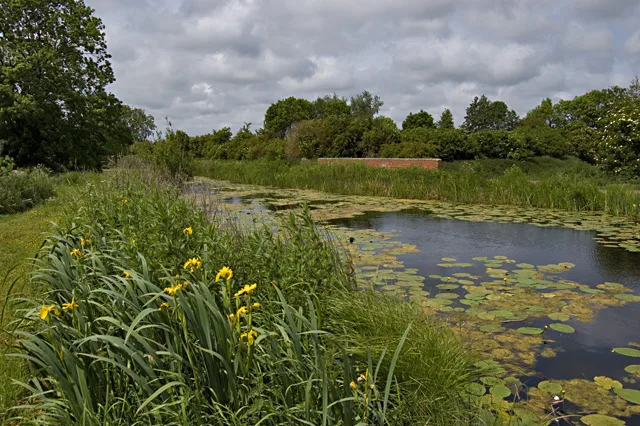
Aqueduct At Sandholme Farm
Aqueduct At Sandholme Farm — aqueduct in Leven, East Riding of Yorkshire, England, UK.
 📷 3
📷 3Aqueducts · Yorkshire & the Humber
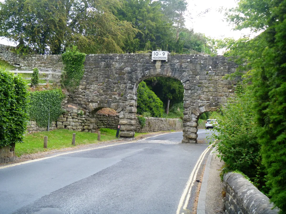
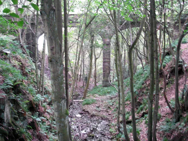
Aqueduct North Of The Abbey Mill
Aqueduct North Of The Abbey Mill — aqueduct in Bolton Abbey, Craven, North Yorkshire, England, UK.
 📷 3
📷 3Aqueducts · Yorkshire & the Humber
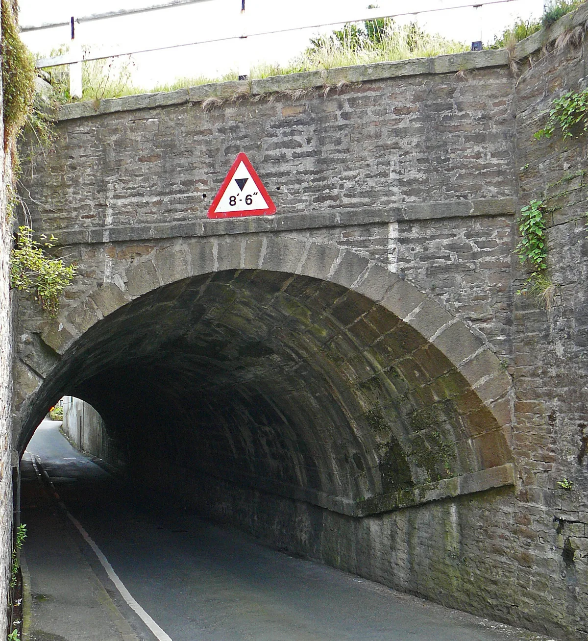
Aqueduct On Leeds-Liverpool Canal
Aqueduct On Leeds-Liverpool Canal — aqueduct in Farnhill, Craven, North Yorkshire, England, UK.
 📷 3
📷 3Aqueducts · Yorkshire & the Humber
Barden Aqueduct
Barden Aqueduct — aqueduct in Silsden, Bradford, West Yorkshire, England, UK.
Frequently asked questions
- Where is Nidd Aqueduct?
- Nidd Aqueduct is in Yorkshire, United Kingdom (postcode HG3 5SW), in the parish of Stonebeck Up.
- What is Nidd Aqueduct?
- Nidd Aqueduct — water supply aqueduct linking Upper Nidderdale with the city of Bradford in the UK.
- How do I get to Nidd Aqueduct?
- The nearest town is Lofthouse. Drivers can use postcode HG3 5SW.
- When was Nidd Aqueduct built?
- Built or established in 1899.
- Is Nidd Aqueduct a protected site?
- Yes — Nidd Aqueduct is part of the Nidderdale National Landscape (AONB).
- Is Nidd Aqueduct free to visit?
- Yes, Nidd Aqueduct is free to enter.
- How do I get to Nidd Aqueduct?
- Drivers can navigate to postcode HG3 5SW. It sits within the Skipton and Ripon parliamentary constituency.