
Mountains & hills · Scottish Islands
Am Buachaille
Am Buachaille — Named summit at 65 m.

Wikimedia Commons contributors — see linked file page for photographer and licence licence

Plan your visit
- Typical visit
- 3 h–8 h
- Best time of year
- Late spring – early autumn (May–Oct)
- Free entry
- Dog-friendly
About
Am Buachaille is a named summit in the United Kingdom. Wikidata describes it as: "Named summit at 65 m.". Coordinates: 58.5372°, -5.0925°.
Photo gallery
From the Wikipedia article
Am Buachaille is a sea stack, or vertical rock formation composed of Torridonian Sandstone, 1 mile (1.5 kilometres) southwest of Sandwood Bay in the Scottish county of Sutherland. It lies at the tip of the Rubh' a Bhuachaille headland around 5 miles (8 kilometres) north of Kinlochbervie. The stack is 65 metres (213 feet) high and was first climbed in 1968 by the mountaineers Tom Patey, Ian Clough and John Cleare. At least four climbing routes are identified on Am Buachaille which is considered a "famous" sea stack climb and has been called the "most serious of 'the big three' Scottish stacks" and a "truly great stack". The easiest route is graded Hard Very Severe (HVS) and access to the stack involves a 30-metre (100-foot) swim at low tide. In September 2024 Jim Miller, Alan Thurlow along with Aden Thurlow 11 years old, who lead climbed the route to the top, became the youngest person to lead the climb on Am Buachaille. The name means "the herdsman" or "the shepherd" in Scottish Gaelic.
Excerpt from Wikipedia under CC BY-SA 4.0. See the source article linked in Sources below.
- Coordinates
- 58.5372, -5.0925
Sources
- osm: n604933717 (ODbL)
- wikipedia: Am Buachaille (CC BY-SA 4.0)
- commons: Am buachaille.jpg (CC BY-SA 4.0)
Other places nearby
Loading nearby places…
Nearby
 📷 3
📷 3Islands · Scottish Islands
Am Buachaille
Am Buachaille — island in Highland, Scotland, UK.
 📷 5
📷 5Mountains & hills · Scottish Islands
Càrn an Rìgh
Càrn an Rìgh — mountain in scotland islands. Elevation: 133 m.
 📷 5
📷 5Natural landmarks · Scottish Islands
Sandwood Bay
Sandwood Bay — a natural feature in scotland islands.
 📷 5
📷 5Mountains & hills · Scottish Islands
Druim na Buainn
Druim na Buainn — mountain in scotland islands. Elevation: 153 m.
📷 5Mountains & hills · Scottish Islands
Druim na Buainn
Druim na Buainn — a hill or mountain in scotland islands.
 📷 3
📷 3Mountains & hills · Scottish Islands
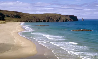
Sandwood Bay
Sandwood Bay — bay in Highland, Scotland, UK.
Where to eat & stay near Am Buachaille
Places to stay
 📷 5
📷 5Campsites · Scottish Highlands
Old docks
Old docks — a campsite in scotland highlands.
 📷 5
📷 5Caravan parks · Scottish Islands
Balnakeil Motorhome Stopover
Balnakeil Motorhome Stopover — a caravan park in scotland islands.
 📷 5
📷 5Hostels · Scottish Islands
Lazy Crofter Bunkhouse/Hostel
Lazy Crofter Bunkhouse/Hostel — a hostel in scotland islands.
📷 5Hostels · Scottish Islands
Lazy Crofter
Lazy Crofter — a hostel in scotland islands.
 📷 5
📷 5Campsites · Scottish Islands
Sango Sands
Sango Sands — a campsite in scotland islands.
 📷 5
📷 5Campsites · Scottish Highlands
Scourie Caravan and Campsite
Scourie Caravan and Campsite — a campsite in scotland highlands.
More mountains in this region
 📷 3
📷 3Mountains & hills · Scottish Islands
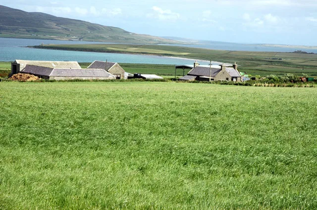
Aikerness Bay
Aikerness Bay — bay in Orkney Islands, Scotland, UK.
 📷 3
📷 3Mountains & hills · Scottish Islands
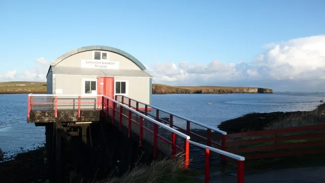
Aith Hope
Aith Hope — bay in Orkney Islands, Scotland, UK.
Mountains & hills · Scottish Islands
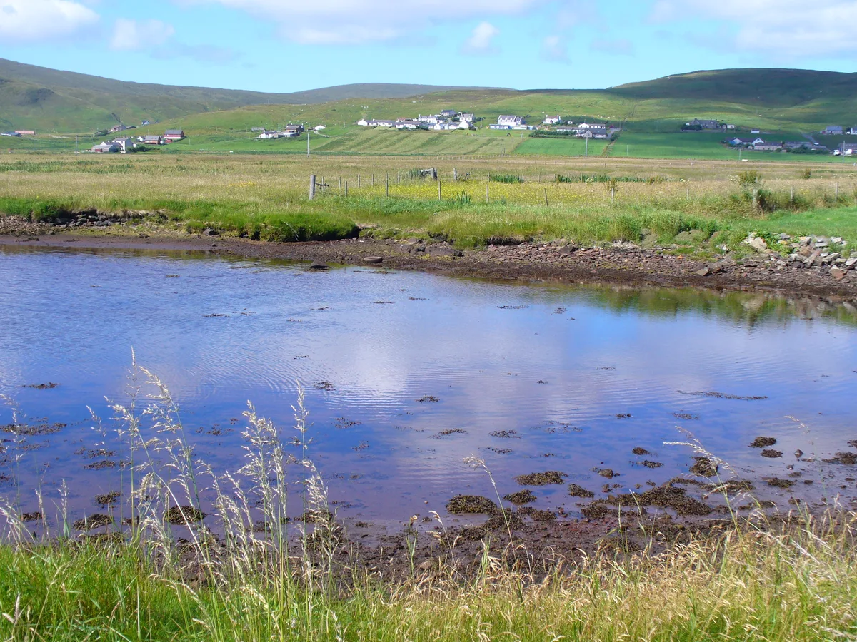
Aith Voe
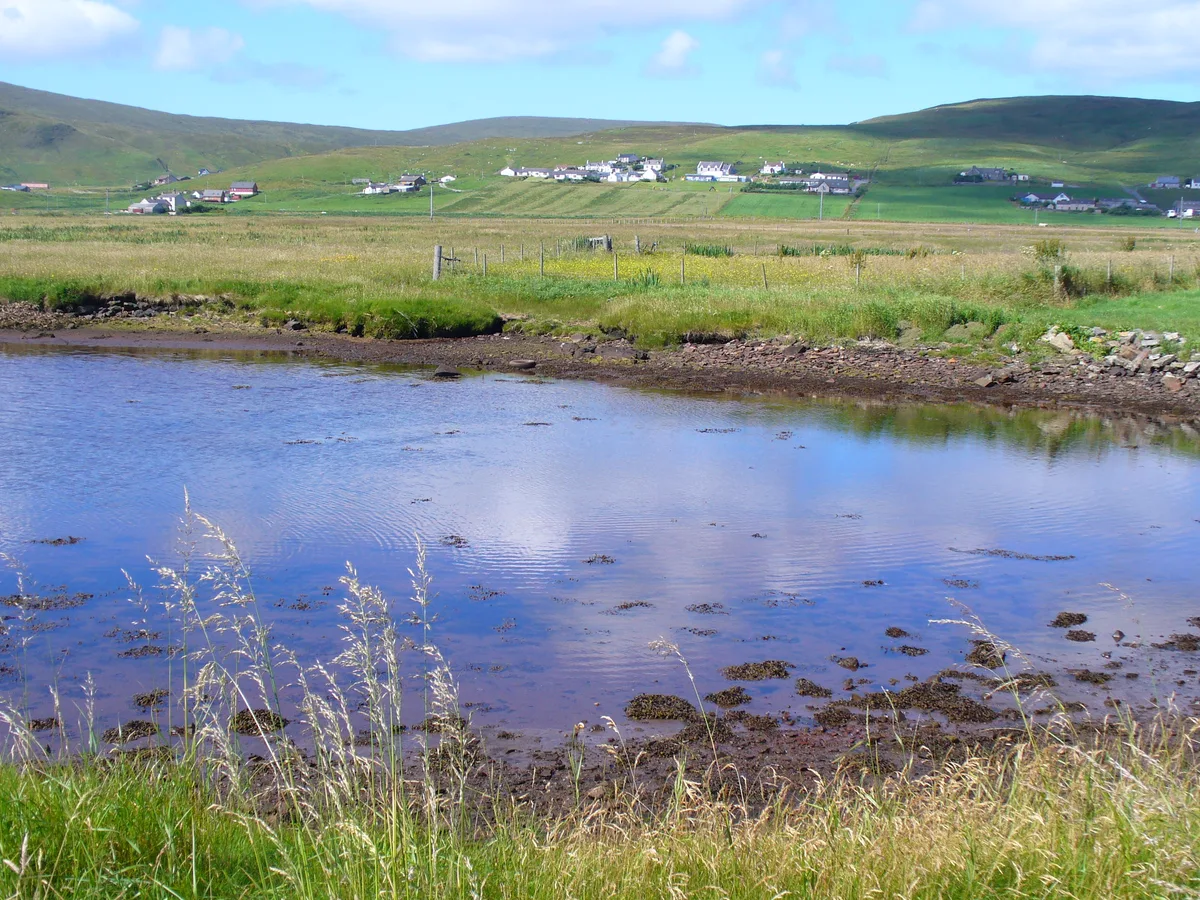
Aith Voe — bay on West Mainland, Shetland Islands, Scotland, UK.
 📷 3
📷 3Mountains & hills · Scottish Islands
Aith Voe
Aith Voe — bay on South Mainland, Shetland Islands, Scotland, UK.
Frequently asked questions
- Where is Am Buachaille?
- Am Buachaille is in the Scottish Islands, United Kingdom.
- What is Am Buachaille?
- Am Buachaille — Named summit at 65 m.
- How do I get to Am Buachaille?
- Its coordinates are 58.5372°, -5.0925°.
- Is Am Buachaille free to visit?
- Yes, Am Buachaille is free to enter.