
Hill forts · North East England
Aesica
In or near Greenhead.
Aesica — Roman fort, archaeological site in Northumberland, England, UK.

Wikimedia Commons contributors — see linked file page for photographer and licence licence

Plan your visit
- Typical visit
- 1 h–2 h
- Nearest railway station
- Haltwhistle · 2.8 km
- Free entry
- Dog-friendly
Getting there & planning your visit
Aesica is located in the Scottish Lowlands, with the nearest railway station being Haltwhistle, approximately 2.8 km away. Entry to the site is free. The postcode for Aesica is NE49 9NF.
About
Aesica is a hill fort in the United Kingdom. It covers approximately 49 km². Heritage designation: scheduled monument. Part of Hadrian's Wall. Wikidata describes it as: "Roman fort, archaeological site in Northumberland, England, UK". Coordinates: 54.9935°, -2.4656°.
Photo gallery
Protected designations
- Site of Special Scientific Interest: River Eden and Tributaries SSSI
Designations sourced from Natural England open data under OGL v3.
From the Wikipedia article
Aesica (modern name Great Chesters) was a Roman fort, 1.5 miles (2,400 m) north of the small town of Haltwhistle in Northumberland. It was the ninth fort on Hadrian's Wall, between Vercovicium (Housesteads) 6.0 miles (9.7 km) to the east and Banna (Birdoswald) 6.5 miles (10.5 km) to the west. Its main purpose was to guard the Caw Gap where the Haltwhistle Burn crosses the Wall.
Excerpt from Wikipedia under CC BY-SA 4.0. See the source article linked in Sources below.
Background
Description
It is believed that the fort was completed in the year 128 AD, later than most of the wall forts as it was an afterthought to the original plan in which Milecastle 43 was built where the later north-west corner of the fort was constructed, and had to be demolished. The fort was rectangular in plan with towers at each corner and measuring 355 ft north to south by 419 ft east to west, occupying a comparatively small area of 3 acre. The fort had three main gates; south, east and west, with double portals with towers. At some time the west gate was completely blocked up. Remarkably there are "broad wall" foundations of Hadrian's Wall a few metres north of the later proper "narrow gauge" wall…
Sourced from Wikipedia under CC BY-SA 4.0.
- Coordinates
- 54.9935, -2.4656
- District
- Northumberland
- Parish
- Greenhead
- Postcode
- NE49 9NF
- Parliamentary constituency
- Hexham
- Nearest railway station
- Haltwhistle — 2.8 km
Sources
- wikidata: Q4688554 (CC0)
- wikipedia: Aesica (CC BY-SA 4.0)
- commons: Aesica Roman Fort - geograph.org.uk - 251498.jpg (CC BY-SA 4.0)
Other places nearby

Aesica Roman Fort
Archaeological sites · 0.2 km

Milecastle 43
Forts · 0.2 km

Chesters Pike Roman temporary camp
Archaeological sites · 0.6 km

Markham Cottage 2 Temporary Camp
Archaeological sites · 0.7 km

Markham Cottage 2 Temporary Camp
Archaeological sites · 0.7 km

Burnhead Roman temporary camp
Archaeological sites · 0.7 km

Lees Hall Roman camp
Archaeological sites · 1.0 km

Cawfields Quarry
Natural landmarks · 1.0 km

Haltwhistle Burn Temporary Camp 4
Archaeological sites · 1.1 km

Haltwhistle Burn Temporary Camp 4
Archaeological sites · 1.1 km
.jpg?width=1200)
Cawfields Roman temporary camp
Quarries · 1.1 km

Haltwhistle Burn 1 Roman temporary camp, fortlet and section of the Stanegate
Archaeological sites · 1.2 km
Nearby
📷 3Archaeological sites · North East England
Aesica Roman Fort
Aesica Roman Fort — a archaeological in scotland-lowlands, United Kingdom.
📷 4📷 3Archaeological sites · North East England
Chesters Pike Roman temporary camp
Chesters Pike Roman temporary camp — archaeological site in Greenhead, Northumberland, England, UK.
📷 3Archaeological sites · North East England
Markham Cottage 2 Temporary Camp
Markham Cottage 2 Temporary Camp — a archaeological in scotland-lowlands, United Kingdom.
📷 5Archaeological sites · North East England
Markham Cottage 2 Temporary Camp
Markham Cottage 2 Temporary Camp — archaeological in scotland lowlands.
📷 3Archaeological sites · North East England
Burnhead Roman temporary camp
Burnhead Roman temporary camp — archaeological site in Greenhead, Northumberland, England, UK.
Where to eat & stay near Aesica
Places to stay
 📷 5
📷 5Caravan parks · North East England
Herding Hill Farm Camping
Herding Hill Farm Camping — a caravan park in scotland lowlands.
 📷 5📷 5
Hotels · North East England
Manor House Inn
Manor House Inn — a hotel in scotland lowlands.
 📷 5
📷 5Campsites · North East England
Hadrian's Wall Campsite
Hadrian's Wall Campsite — a campsite in scotland lowlands.
 📷 5
📷 5Caravan parks · North East England
Seldom Seen Caravan Park
Seldom Seen Caravan Park — a caravan park in scotland lowlands.
 📷 5
📷 5Campsites · North East England
Winshields Farm Campsite
Winshields Farm Campsite — a campsite in scotland lowlands.
Places to eat & drink
 📷 5
📷 5 📷 4
📷 4 📷 4
📷 4Historic pubs · North West England
Hallbankgate
Hallbankgate in England North East, United Kingdom.
 📷 7
📷 7Historic pubs · North East England
Anchor Hotel
Anchor Hotel in Scotland Lowlands, United Kingdom.
 📷 5
📷 5Historic pubs · North West England
Graham Arms (West Of Gelt Bridge)
Graham Arms (West Of Gelt Bridge) in Scotland Lowlands, United Kingdom.
 📷 5
📷 5More places in this region
 📷 3
📷 3Hill forts · North East England
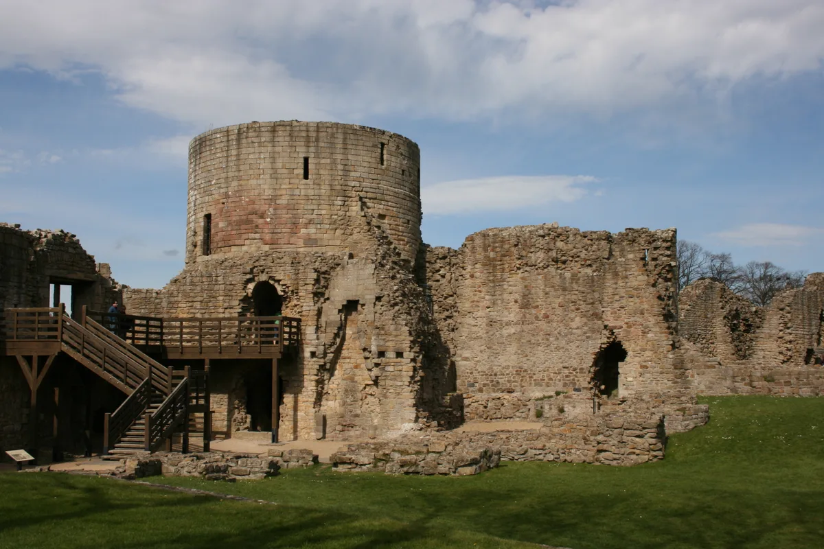
Barnard Castle
Barnard Castle is a hill fort in the United Kingdom.
 📷 3
📷 3Hill forts · North East England
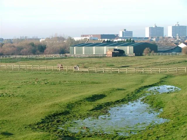
Stainsby
Stainsby — abandoned village in North Yorkshire, England, UK.
 📷 4
📷 4Hill forts · North East England
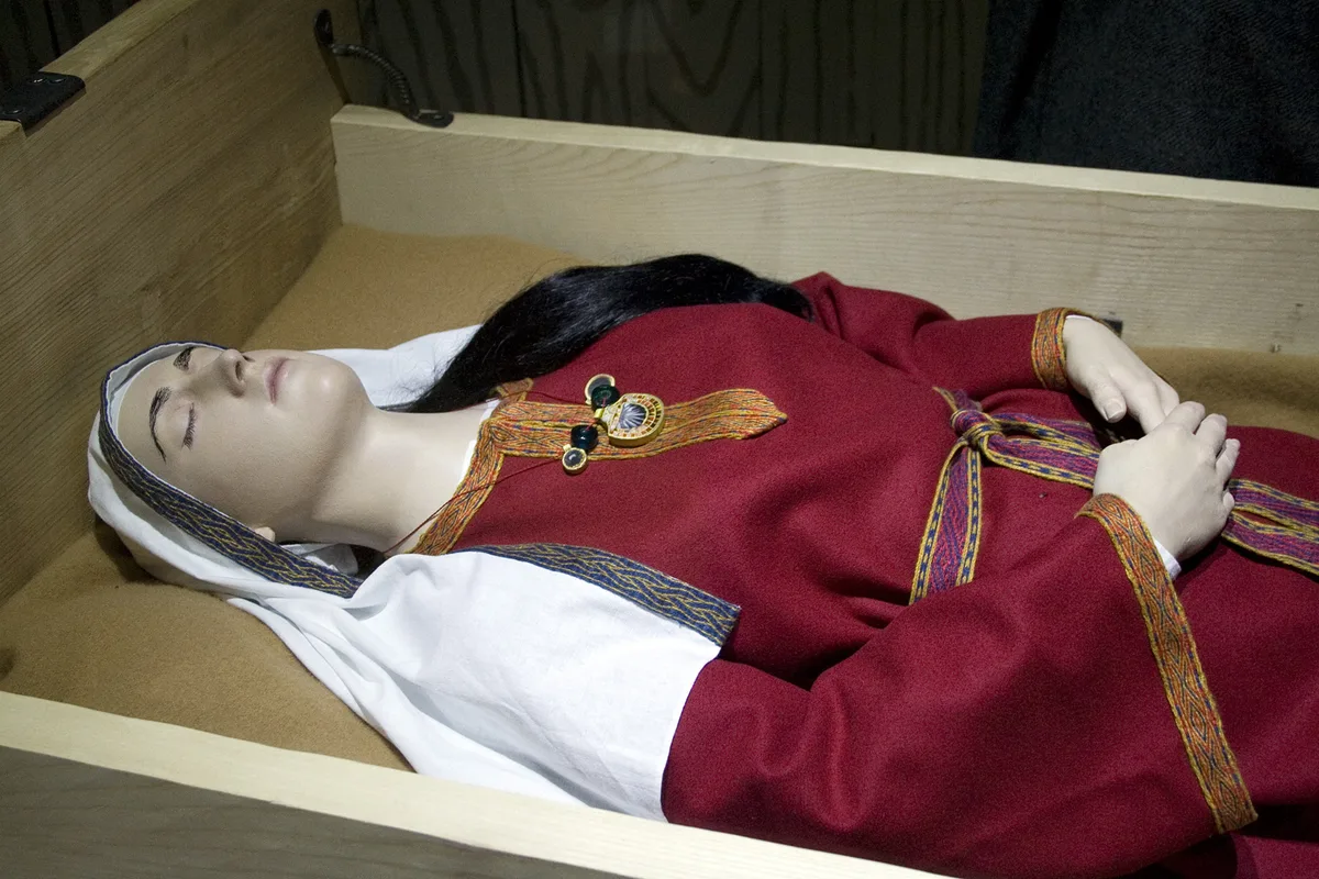
Street House Anglo-Saxon cemetery
Street House Anglo-Saxon cemetery — cemetery in North Yorkshire, England.
 📷 3
📷 3Hill forts · North East England
Pittington Hill
Pittington Hill in England North East, United Kingdom.
Frequently asked questions
- Where is Aesica?
- Aesica is in the Scottish Lowlands, United Kingdom (postcode NE49 9NF), in the parish of Greenhead.
- What is Aesica?
- Aesica — Roman fort, archaeological site in Northumberland, England, UK.
- How do I get to Aesica?
- The nearest railway station is Haltwhistle, about 2.8 km away. Drivers can use postcode NE49 9NF.
- Is Aesica a listed building?
- Aesica is officially recognised as scheduled monument listed.
- Is Aesica a protected site?
- Yes — Aesica is part of the River Eden and Tributaries SSSI Site of Special Scientific Interest.
- Is Aesica free to visit?
- Yes, Aesica is free to enter.
- How do I get to Aesica?
- The nearest railway station is Haltwhistle, about 2.8 km away. Drivers can navigate to postcode NE49 9NF.