
Museums · Yorkshire & the Humber
Aberford
In or near Towton.
Aberford is a village and civil parish on the eastern outskirts of the City of Leeds in West Yorkshire, England. It had a population of 1,059 at the 2001 census, increasing to 1,180 at the 2011 Census

Alan Reid — CC BY-SA 2.0 via Wikimedia Commons licence

Plan your visit
- Typical visit
- 1.5 h–3 h
- Best time of year
- Year-round
- Nearest railway station
- Garforth · 4.6 km
- Family-friendly
- Limited wheelchair access
About
Aberford is a village and civil parish on the eastern outskirts of the City of Leeds in West Yorkshire, England. It had a population of 1,059 at the 2001 census, increasing to 1,180 at the 2011 Census. It is situated 10 miles (15.5 km) east, north east of Leeds and west of the A1(M) motorway.
Photo gallery
From the Wikipedia article
Aberford is a village and civil parish on the eastern outskirts of the City of Leeds in West Yorkshire, England. It had a population of 1,059 at the 2001 census, increasing to 1,180 at the 2011 Census. It is situated 10 miles (15.5 km) east, north east of Leeds and west of the A1(M) motorway.
Excerpt from Wikipedia under CC BY-SA 4.0. See the source article linked in Sources below.
Background
History
Aberford is where the ancient Great North Road crosses over the Cock River (now reduced in volume as the Cock Beck). Aberford was the midway point on the road between London and Edinburgh, being around 200 mi distant from each city. The construction of the A1(M) motorway bypassed the village starting at Hook Moor. On the north side of the river the Aberford Dykes earthworks were constructed to defend the crossing. The buried remains of a Roman fort have been found beneath Aberford House. The bridge dates from the 18th century. Aberford was in the ancient Kingdom of Elmet, the name given to the former parliamentary constituency. An Anglo-Saxon gold ring, inscribed with the name of King…
Architecture
Aberford is considered "a place of special architectural and historic interest". Some notable buildings are: Aberford Church of England primary School is affiliated with the parish church adjacent to it. The school was originally a tithe barn and is owned by the Archdeacon of York following its transfer from the Vicar of Aberford. Previously, it and much of the village was owned by Oriel College, Oxford, which received tithes from Aberford. At the northern boundary is the A64 road from Leeds to York and Scarborough. At the south end of Aberford is what used to be Hicklam Mill Farm now a small certified caravan and camping site.
Sourced from Wikipedia under CC BY-SA 4.0.
- Coordinates
- 53.8304, -1.3429
- District
- Leeds
- Parish
- Lotherton cum Aberford
- Postcode
- LS25 3AA
- Parliamentary constituency
- Wetherby and Easingwold
- Nearest railway station
- Garforth — 4.6 km
Sources
- wikipedia: Aberford (CC BY-SA 4.0)
Other places nearby
.jpg?width=1200)
Aberford Bridge
Historic bridges · 0.0 km
.JPG?width=1200)
Aberford War Memorial
Memorials & monuments · 0.9 km
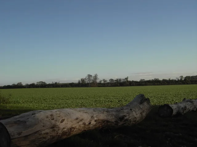
Aberford Dykes
Hill forts · 1.8 km

Lotherton Chapel
Chapels · 2.0 km

Lotherton Hall
Historic houses · 2.1 km

Hazlewood Castle
Castles · 2.9 km
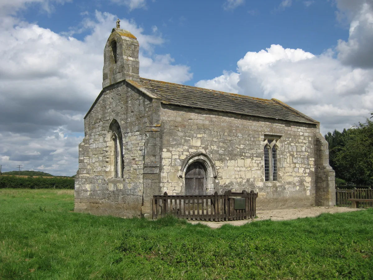
St Mary's Chapel, Lead
Historic churches · 3.1 km

Potterton Bridge
Historic bridges · 3.2 km

Wendell Hill Iron Age Ditch & Bank
Archaeological sites · 3.3 km

Barwick-in-Elmet War Memorial
Memorials & monuments · 3.4 km
Maypole
Memorials & monuments · 3.4 km

Barwick-in-Elmet Castle
Vineyards · 3.4 km
Nearby
📷 3Historic bridges · Yorkshire & the Humber
Aberford Bridge
Aberford Bridge is a historic bridge in the United Kingdom.
📷 3Memorials & monuments · Yorkshire & the Humber
Aberford War Memorial
Aberford War Memorial is a memorial in the United Kingdom.
📷 3Hill forts · Yorkshire & the Humber
Aberford Dykes
Aberford Dykes — series of archaeological earthworks.
📷 3Chapels · Yorkshire & the Humber
Lotherton Chapel
Lotherton Chapel — chapel in Lotherton cum Aberford, West Yorkshire, England, UK.
📷 3Historic houses · Yorkshire & the Humber
Lotherton Hall
Lotherton Hall — a other in england-yorkshire, United Kingdom.
📷 5Castles · Yorkshire & the Humber
Hazlewood Castle
Hazlewood Castle — a Grade I-listed castle in england-yorkshire, United Kingdom.
Where to eat & stay near Aberford
Places to stay
 📷 5
📷 5Caravan parks · Yorkshire & the Humber
Haighfield Caravan Park
Haighfield Caravan Park — a caravan park in england yorkshire.
 📷 5
📷 5Caravan parks · Yorkshire & the Humber
More Lodge Holiday Park
More Lodge Holiday Park — a caravan park in england yorkshire.
📷 5Campsites · Yorkshire & the Humber
More Lodge Holiday Park
More Lodge Holiday Park — a campsite in england yorkshire.
 📷 5
📷 5Caravan parks · Yorkshire & the Humber
Whitecote Caravan Park
Whitecote Caravan Park — a caravan park in england yorkshire.
 📷 5
📷 5Campsites · Yorkshire & the Humber
Greenscapes Nusery Campsite
Greenscapes Nusery Campsite — a campsite in england yorkshire.
 📷 5
📷 5Places to eat & drink
 📷 5
📷 5Historic pubs · Yorkshire & the Humber
The Lord Gascoigne
The Lord Gascoigne in England Yorkshire, United Kingdom.
 📷 5
📷 5 📷 5
📷 5 📷 5
📷 5Historic pubs · Yorkshire & the Humber
Newmarket Inn
Newmarket Inn in England Yorkshire, United Kingdom.
 📷 7
📷 7Historic pubs · Yorkshire & the Humber
The Briggate
The Briggate in England Yorkshire, United Kingdom.
 📷 5
📷 5Historic pubs · Yorkshire & the Humber
The Bird In Hand
The Bird In Hand in England Yorkshire, United Kingdom.
More museums in this region
 📷 3
📷 3Museums · Yorkshire & the Humber
Avro Heritage Museum
Avro Heritage Museum — aviation museum in England.
 📷 5
📷 5Museums · Yorkshire & the Humber
Hat Works
Hat Works — museum and former cotton mill Greater Manchester, England.
 📷 3
📷 3Museums · Yorkshire & the Humber
Anson Engine Museum
Anson Engine Museum — a museum in england-west-midlands, United Kingdom.
 📷 3
📷 3Museums · Yorkshire & the Humber
Portland Basin Museum
Portland Basin Museum — a museum in england-west-midlands, United Kingdom.
Frequently asked questions
- Where is Aberford?
- Aberford is in Yorkshire, United Kingdom (postcode LS25 3AA), in the parish of Lotherton cum Aberford.
- What is Aberford?
- Aberford is a village and civil parish on the eastern outskirts of the City of Leeds in West Yorkshire, England. It had a population of 1,059 at the 2001 census, increasing to 1,180 at the 2011 Census
- How do I get to Aberford?
- The nearest railway station is Garforth, about 4.6 km away. Drivers can use postcode LS25 3AA.
- How do I get to Aberford?
- The nearest railway station is Garforth, about 4.6 km away. Drivers can navigate to postcode LS25 3AA.