
Gardens · North West England
1–5 Pillory Street, Nantwich
In or near Aston juxta Mondrum.
1–5 Pillory Street, Nantwich — a garden in england-west-midlands, United Kingdom.

Jaggery — CC BY-SA 2.0 via Wikimedia Commons licence

Plan your visit
- Typical visit
- 1 h–2.5 h
- Best time of year
- Spring & summer (Apr–Sep)
- Nearest railway station
- Nantwich · 0.4 km
- Free entry
- Dog-friendly
- Wheelchair accessible
Getting there & planning your visit
To visit 1–5 Pillory Street in Nantwich, you can take a train to Nantwich station, which is 0.4 km away. The postcode is CW5 5RH, and the location is wheelchair accessible. Entry details are not specified.
About
1–5 Pillory Street, Nantwich is a garden of interest in england-west-midlands, United Kingdom — drawn from open-data sources for visitor reference. See the linked Wikipedia article for the full description.
Photo gallery
Official information
Nantwich Museum showcases the history of Nantwich, from its Roman origins to its salt-making industry and Civil War narratives. The museum features various exhibits, including rotating art and history displays, and is located in a former Victorian library.
From the Wikipedia article
1–5 Pillory Street is a large curved corner block in Nantwich, Cheshire, England, in the French Baroque style of the late 17th century, which is listed at grade II. It is located on the corner of Hospital Street and Pillory Street (at SJ6513252244), and also includes 2 Hospital Street. Formerly known as Chesters' Stores, it was built in 1911 for the grocer's, P. H. Chesters, to a design by local architect, Ernest H. Edleston (1880–1964). The building has subsequently been used for a variety of retail and wholesale purposes, and it is currently a furniture store. It is the most recent listed building in Nantwich, as well as the only one dating from after the Victorian era. English Heritage describes the building in the listing as "a corner block of unusual design", and local historian Jane Stevenson calls it "flamboyant". Some contemporary observers likened the building, with its circular, porthole-like windows, to the Lusitania liner, which had been launched a few years earlier.
Excerpt from Wikipedia under CC BY-SA 4.0. See the source article linked in Sources below.
Background
History
The corner of Pillory Street and Hospital Street (1 Pillory Street and 2 Hospital Street) was occupied from 1869 by Chesters' Stores, a premises of P. H. Chesters. This successful local Grocer's business had been established by Philip H. Chesters in 1859 and continued by his three nephews including Joseph Chesters. It was the largest grocery business in Nantwich in the early 20th century, with several other premises in the town, including a small shop adjacent to the Crown Hotel on High Street, a bakery on Barker Street and a warehouse on Pepper Street. The original stores also featured a curved corner. The present building was constructed in 1911. The design was by local architect E. H.…
Description
English Heritage describes the building's design as "unusual". The spirelet bears a flag pole. The ground floor has cream-coloured rendering with a string course above, and part of the first floor and lower attic level is also rendered. The main entrance is at the curved corner; the doorcase has flanking pilasters with a pediment above. A second entrance takes the place of one of the original windows on the Pillory Street face, while the original second doorway at the end of this face is now blind. The windows flanking the main doorway and two others on the Pillory Street face have rectangular heads; the other ground-floor windows have semicircular heads. In both cases, the top part is…
Sourced from Wikipedia under CC BY-SA 4.0.
- Coordinates
- 53.0664, -2.5218
- District
- Cheshire East
- Parish
- Nantwich
- Postcode
- CW5 5RH
- Parliamentary constituency
- Crewe and Nantwich
- Phone
- 01270 627104
- Nearest railway station
- Nantwich — 0.4 km
- Opening
- Tuesday to Saturday 10am–4pm; closed Sundays, Mondays, and Bank Holidays
- Official site
- nantwichmuseum.org.uk
Sources
- wikidata: Q4596721 (CC0)
- wikipedia: 1–5 Pillory Street, Nantwich (CC BY-SA 4.0)
Other places nearby

Nantwich
Castles · 0.0 km

Lamb Hotel
Historic pubs · 0.0 km

Queen's Aid House
Historic houses · 0.0 km

Nantwich War Memorial
Memorials & monuments · 0.1 km

Cosy Super Cinema
Theatres · 0.1 km

Nantwich Millennium Clock
Public art & sculpture · 0.1 km

9 Mill Street, Nantwich
Historic houses · 0.1 km
Nantwich Museum
Museums · 0.1 km

Nantwich Castle
Castles · 0.1 km

46 High Street, Nantwich
Historic houses · 0.1 km
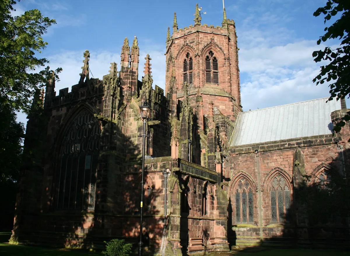
St Mary's Church, Nantwich
Historic churches · 0.1 km
1–3 Churchyard Side, Nantwich
Historic churches · 0.1 km
Nearby
📷 5Castles · North West England
Nantwich
Nantwich — a castle in england-west-midlands, United Kingdom.
📷 5📷 3Historic houses · North West England
Queen's Aid House
Queen's Aid House — Grade II listed house in Nantwich, Cheshire, England, UK.
📷 3Memorials & monuments · North West England
Nantwich War Memorial
Nantwich War Memorial — Grade II listed building-listed memorial in england-west-midlands, United Kingdom.
📷 5Theatres · North West England
Cosy Super Cinema
Cosy Super Cinema — a cinema heritage in england-west-midlands, United Kingdom.
📷 3Public art & sculpture · North West England
Nantwich Millennium Clock
Nantwich Millennium Clock — a public art in england-west-midlands, United Kingdom.
Where to eat & stay near 1–5 Pillory Street, Nantwich
Places to stay
 📷 5
📷 5Hotels · North West England
Crown Hotel, Bar & Grill
Crown Hotel, Bar & Grill — a hotel in england west midlands.
 📷 5
📷 5 📷 5
📷 5Hotels · North West England
The Waverley Hotel
The Waverley Hotel — a hotel in england west midlands.
 📷 5
📷 5 📷 5
📷 5
Campsites · North West England
Marbury Camp and Lodge
Marbury Camp and Lodge — a campsite in wales north.
Places to eat & drink
📷 5 📷 5
📷 5Restaurants · North West England
The Cheshire Cat
The Cheshire Cat — a restaurant in england west midlands.
 📷 5
📷 5 📷 5
📷 5Historic pubs · North West England
The Commercial Hotel
The Commercial Hotel in England North West, United Kingdom.
 📷 5
📷 5Historic pubs · North West England
Old Hall Hotel, Sandbach
Old Hall Hotel, Sandbach in England North West, United Kingdom.
 📷 7
📷 7Historic pubs · North West England
The Black Bear Public House
The Black Bear Public House in Wales North, United Kingdom.
More gardens in this region
 📷 5
📷 5Gardens · North West England
Capesthorne Hall
Capesthorne Hall — manor in Cheshire, England, UK.
 📷 3
📷 3Gardens · North West England
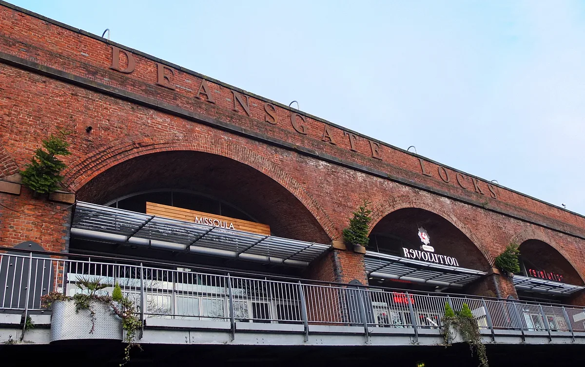
Latticework Viaducts, Castlefield
Latticework Viaducts, Castlefield — railway viaduct in Manchester, Greater Manchester, England, UK.
.jpg?width=1200) 📷 3
📷 3Gardens · North West England
RHS Garden Bridgewater
RHS Garden Bridgewater — Public garden in Greater Manchester, England.
 📷 3
📷 3Gardens · North West England
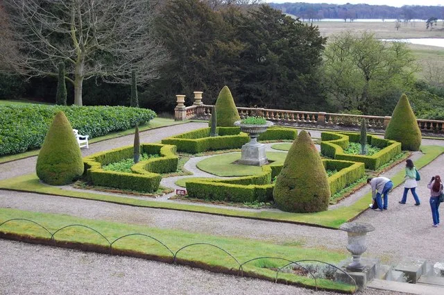
Tatton Park Gardens
Tatton Park Gardens — Gardens in Cheshire, England.
Frequently asked questions
- Where is 1–5 Pillory Street, Nantwich?
- 1–5 Pillory Street, Nantwich is in the West Midlands, United Kingdom (postcode CW5 5RH), in the parish of Nantwich.
- What is 1–5 Pillory Street, Nantwich?
- 1–5 Pillory Street, Nantwich — a garden in england-west-midlands, United Kingdom.
- How do I get to 1–5 Pillory Street, Nantwich?
- The nearest railway station is Nantwich, about 0.4 km away. Drivers can use postcode CW5 5RH.
- How do I get to 1–5 Pillory Street, Nantwich?
- The nearest railway station is Nantwich, about 0.4 km away. Drivers can navigate to postcode CW5 5RH.