
Stadiums · East Midlands
York Street
In or near Sutterton.
York Street — football stadium in Boston, England.

Wikimedia Commons contributors — see linked file page for photographer and licence licence

Plan your visit
- Typical visit
- 1.5 h–3 h
- Nearest railway station
- Boston · 0.8 km
Getting there & planning your visit
To visit York Street, the nearest railway station is Boston, located 0.8 km away. The postcode for sat-nav is PE21 6JP. Entry details are not specified.
About
York Street is a stadium in the United Kingdom. Records date its origin to 1933. Wikidata describes it as: "football stadium in Boston, England". Coordinates: 52.9768°, -0.0191°.
Photo gallery
Official information
Blackfriars Arts Centre hosts a variety of performances and events, including concerts, theatre shows, and comedy nights. Visitors can enjoy a diverse lineup of entertainment throughout the year.
From the Wikipedia article
York Street, is a derelict football stadium in Boston, England, and was the former home of Boston United. Originally called Shodfriars Lane and latterly for sponsorship reasons the Jakemans Stadium, football was first played on the site since the late 19th century by a variety of Boston teams, but it was only used by Boston United since 1933. In the late 1970s the ground was rebuilt. Although the ground most recently had a maximum capacity of 6,643, the record crowd was 11,000 against Derby County. 10 further attendances of more than 8,000 are on record. Boston United left the York Street ground at the end of the 2019/20 season. Railway Athletic FC played in the stadium in 2021-22, but the land was put up for sale in 2022 and the stadium has since been unused. In January 2026 plans were approved to build a £24.9m NHS community diagnostic centre (CDC) on the site of the stadium. Demolition work on the site began in March 2026.
Excerpt from Wikipedia under CC BY-SA 4.0. See the source article linked in Sources below.
Background
History
The ground stood in the centre of the town of Boston since the 19th century, and was given a variety of names since its construction. For 40 years before York Street's long time tenants, Boston United, were founded it was known as 'Main Ridge'. In the mid-1950s the York Street Stand was built, and the ground's first floodlights were installed. These were first played under in 1955, when over 9,000 fans watched Boston's first floodlit game against Corby Town. The new floodlights, erected in each of the four corners of the ground, allowed the Pilgrims to play in various floodlit competitions. In 1977 York Street failed an inspection for league grading, leading to local fundraising in 1978…
Sourced from Wikipedia under CC BY-SA 4.0.
- Coordinates
- 52.9768, -0.0191
- County
- Lincolnshire
- District
- Boston
- Parish
- Boston, unparished area
- Postcode
- PE21 6JP
- Parliamentary constituency
- Boston and Skegness
- Established
- 1933
- Nearest railway station
- Boston — 0.8 km
- Official site
- www.blackfriarsartscentre.co.uk
Sources
- wikidata: Q618958 (CC0)
- wikipedia: York Street (CC BY-SA 4.0)
- commons: York Street Photo.JPG (CC BY-SA 4.0)
Other places nearby

Blackfriars Theatre and Arts Centre
Open-air theatres · 0.2 km
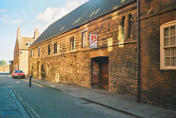
Blackfriars Theatre & Arts Centre
Theatres · 0.2 km

Fydell House And Wall And Railings And 2 Urns
Historic houses · 0.3 km

Boston Guildhall
Museums · 0.3 km
Boston Guildhall Museum
Museums · 0.3 km

Haven Cinema
Theatres · 0.3 km

Fish Hill
Mountains & hills · 0.3 km

Boston, Lincolnshire
Castles · 0.3 km

Hussey Tower
Natural landmarks · 0.4 km
Captain Cod Fish and Chip Restaurant
Restaurants · 0.4 km

Boston War Memorial
Memorials & monuments · 0.4 km

Herbert Ingram Statue
Memorials & monuments · 0.4 km
Nearby
📷 5Open-air theatres · East Midlands
Blackfriars Theatre and Arts Centre
Blackfriars Theatre and Arts Centre — a open-air theatre in england east midlands.
📷 5Theatres · East Midlands
Blackfriars Theatre & Arts Centre
Blackfriars Theatre & Arts Centre is a theatre in the United Kingdom.
📷 3Historic houses · East Midlands
Fydell House And Wall And Railings And 2 Urns
Fydell House And Wall And Railings And 2 Urns — a Grade I-listed historic house in england-east-midlands, United Kingdom.
📷 3Museums · East Midlands
Boston Guildhall
Boston Guildhall — a museum in East Midlands, United Kingdom.
📷 5Museums · East Midlands
Boston Guildhall Museum
Boston Guildhall Museum — a Grade I-listed museum in england-east-midlands, United Kingdom.
📷 4Where to eat & stay near York Street
Places to stay
 📷 5
📷 5Hotels · East Midlands
The White Hart Hotel
The White Hart Hotel — a hotel in england east midlands.
 📷 5
📷 5 📷 5
📷 5Caravan parks · East Midlands
Hall Hills Park
Hall Hills Park — a caravan park in england east midlands.
 📷 5
📷 5Campsites · East Midlands
Meadowvale Park
Meadowvale Park — a campsite in england east midlands.
 📷 5
📷 5Campsites · East Midlands
Orchard Holiday Park
Orchard Holiday Park — a campsite in england east midlands.
 📷 5
📷 5Campsites · East Midlands
Orchard Holiday Park
Orchard Holiday Park — a campsite in england east midlands.
Places to eat & drink
📷 5Restaurants · East Midlands
Captain Cod Fish and Chip Restaurant
Captain Cod Fish and Chip Restaurant — a restaurant in england east midlands.
 📷 5
📷 5 📷 5
📷 5 📷 5
📷 5Historic pubs · East Midlands
The Old King's Head
The Old King's Head in England East, United Kingdom.
 📷 5
📷 5 📷 5
📷 5Historic pubs · East Midlands
Lea Gate Public House
Lea Gate Public House in England East, United Kingdom.
Other places from this era
.jpg?width=1200) 📷 5
📷 5Stadiums · London
Bobby Moore statue
Bobby Moore statue — Public artwork (statue).
 📷 5
📷 5Stadiums · London
Brentford Community Stadium
Brentford Community Stadium — stadium in London, England.
 📷 5
📷 5Stadiums · London
Hackney Wick Stadium
Hackney Wick Stadium — former stadium in thr Londom Borough of Hackney.
.jpg?width=1200) 📷 5
📷 5More places in this region
 📷 3
📷 3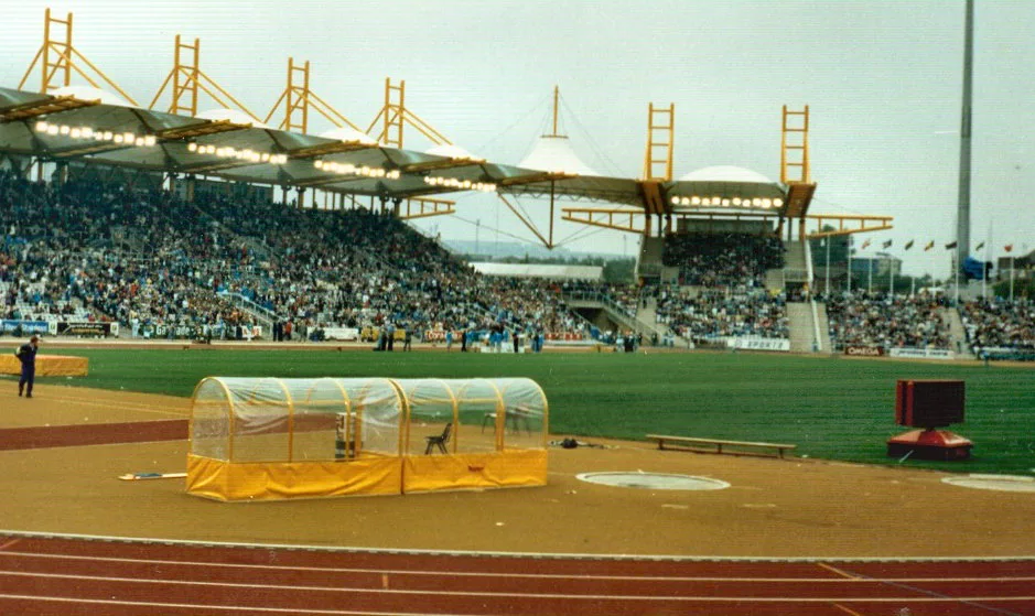 📷 3
📷 3Stadiums · East Midlands
Don Valley Stadium
Don Valley Stadium is a stadium in the United Kingdom.
 📷 3
📷 3Stadiums · East Midlands
Harvey Hadden Stadium
Harvey Hadden Stadium is a stadium in the United Kingdom.
.jpg?width=1200) 📷 3
📷 3Stadiums · East Midlands
Herringthorpe Stadium
Herringthorpe Stadium — athletics stadium in Rotherham, South Yorkshire, England.
Frequently asked questions
- Where is York Street?
- York Street is in Lincolnshire, the East Midlands, United Kingdom (postcode PE21 6JP), in the parish of Boston, unparished area.
- What is York Street?
- York Street — football stadium in Boston, England.
- How do I get to York Street?
- The nearest railway station is Boston, about 0.8 km away. The nearest town is Sutterton. Drivers can use postcode PE21 6JP.
- When was York Street built?
- Built or established in 1933.
- Who owns York Street?
- York Street is owned by Malkinson Family.
- How do I get to York Street?
- The nearest railway station is Boston, about 0.8 km away. Drivers can navigate to postcode PE21 6JP.