Islands · North Wales
Ynys Benlas
In or near Trearddur.
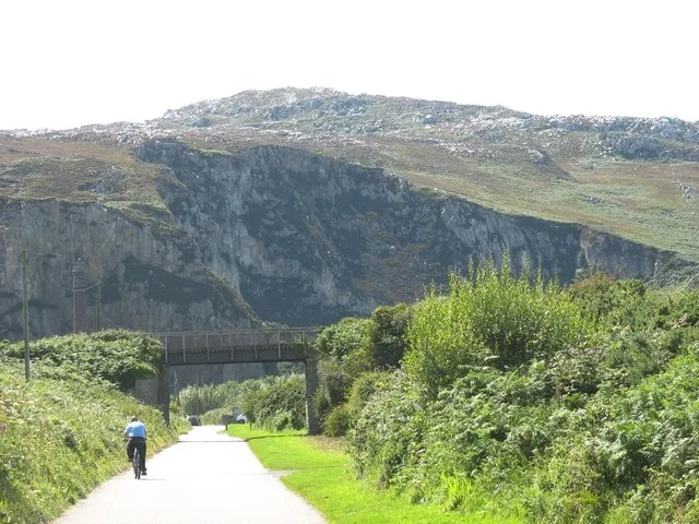
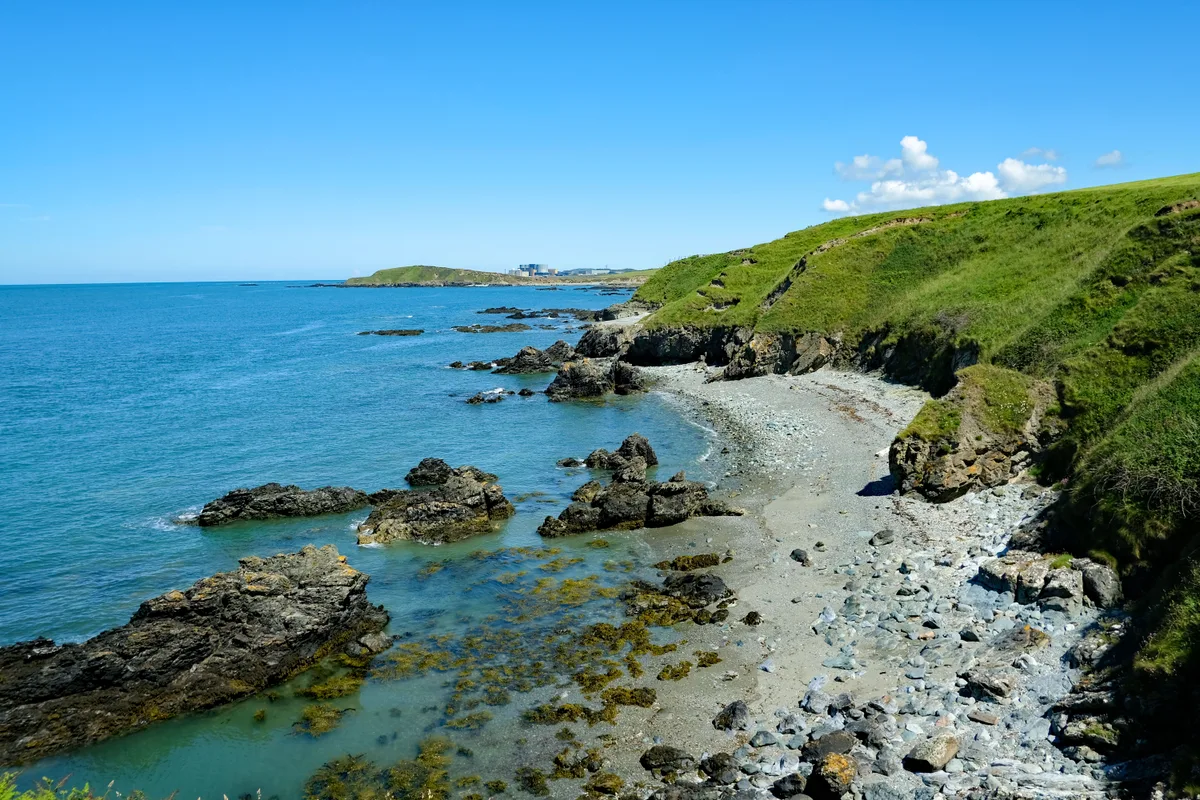
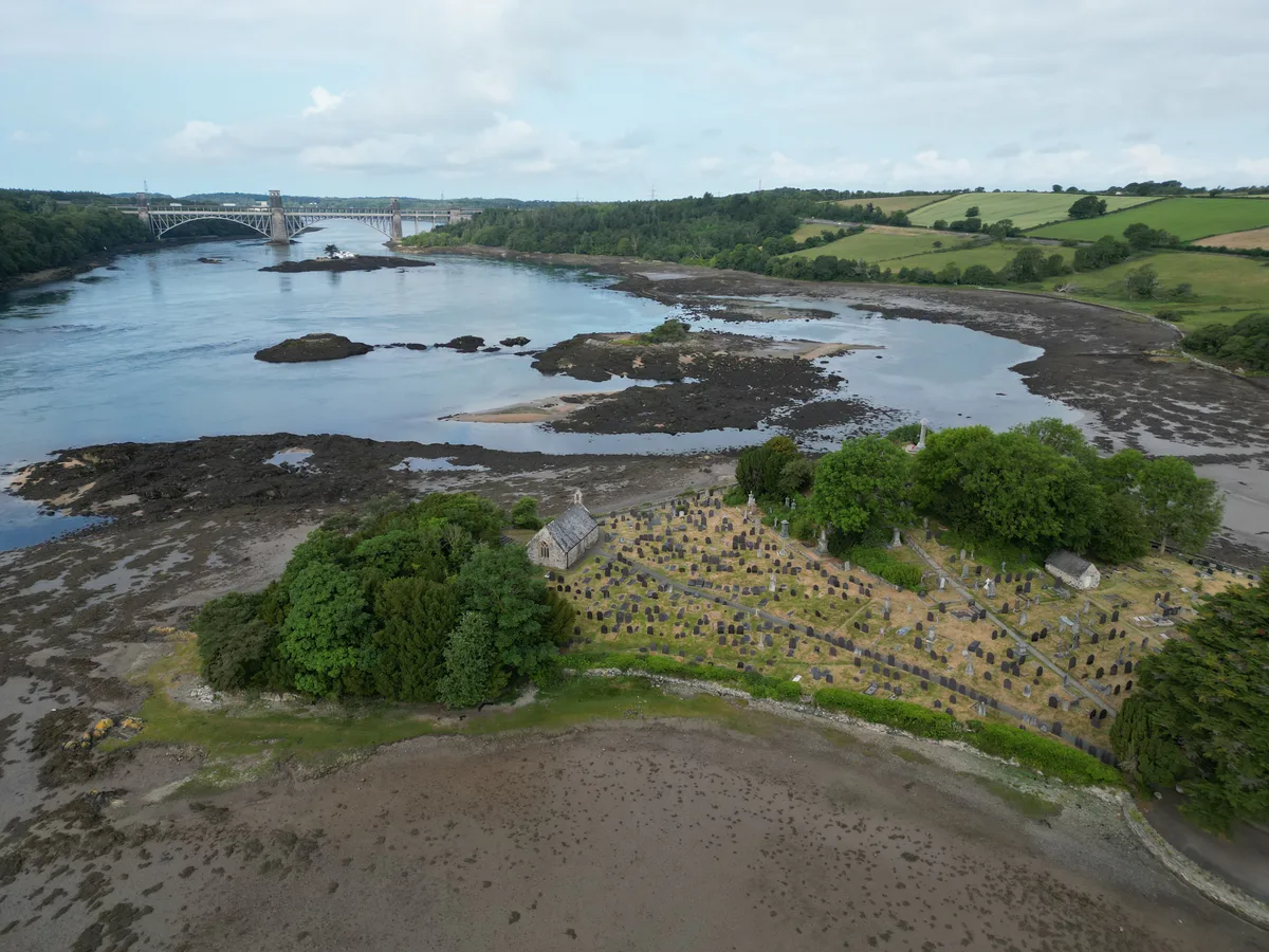
Ynys Benlas — a small islet between Anglesey and Holy Island.

Wikimedia Commons licence
Plan your visit
- Typical visit
- 4 h–12 h
- Nearest railway station
- Valley · 2.2 km
- Free entry
- Dog-friendly
Getting there & planning your visit
To visit Ynys Benlas, the nearest railway station is Valley, located 2.2 km away. The postcode for navigation is LL65 2TS, and entry to the island is free.
About
Ynys Benlas is a island in the United Kingdom. Wikidata describes it as: "a small islet between Anglesey and Holy Island". Coordinates: 53.2858°, -4.5963°.
Photo gallery
From the Wikipedia article
Ynys Benlas is a small islet situated in the Inland Sea (Welsh: Y Lasinwen), part of the Cymyran Strait between Anglesey and Holy Island. It measures approximately 65 metres (east-west) by 35 metres (north-south) at low tide and covers about 0.2 hectares. Its name translates from the Welsh for "blue top island", which is thought to derive from the fact that bluebells apparently flourished on it. Late nineteenth century Ordnance survey maps refer to the islet as Ynys Henlas, which translates as "old blue island" According to the Archaeological Journal (1844), the islet (referred to as Ben Las in the Journal) may have been an ancient signal hill.
Excerpt from Wikipedia under CC BY-SA 4.0. See the source article linked in Sources below.
- Coordinates
- 53.2858, -4.5963
- District
- Isle of Anglesey
- Parish
- Trearddur
- Postcode
- LL65 2TS
- Parliamentary constituency
- Ynys Môn
- Nearest railway station
- Valley — 2.2 km
Sources
- wikidata: Q8054062 (CC0)
- wikipedia: Ynys Benlas (CC BY-SA 4.0)
Other places nearby

Trearddur Bay Country Park
Caravan parks · 0.7 km

Melin y Gof
Windmills · 0.9 km

Cytiau'r Gwyddelod
Archaeological sites · 1.0 km

The Holyhead Road: quay on the Stanley Embankment
Marinas · 1.2 km

Bae Beddmanarch
Natural landmarks · 1.4 km

Tan Y Graig Caravan Park
Campsites · 1.4 km
Holy Island
Islands · 1.4 km
.jpg?width=1200)
Trearddur
Towns & cities · 1.4 km

Pen Y Bont Caravan & Camping
Caravan parks · 1.4 km

Beddrod Siambr Trefignath
Archaeological sites · 1.5 km

Beddrod Siambr Trefignath
Archaeological sites · 1.5 km

Tyn Towyn Campsite
Campsites · 1.6 km
Nearby
📷 5Caravan parks · North Wales
Trearddur Bay Country Park
Trearddur Bay Country Park — a caravan park in wales north.
📷 2Windmills · North Wales
Melin y Gof
Melin y Gof — Grade II listed building-listed windmill in wales-north, United Kingdom.
📷 3Archaeological sites · North Wales
Cytiau'r Gwyddelod
Cytiau'r Gwyddelod — a archaeological in wales-north, United Kingdom.
📷 5Marinas · North Wales
The Holyhead Road: quay on the Stanley Embankment
The Holyhead Road: quay on the Stanley Embankment — a marina in wales north.
📷 5📷 5Campsites · North Wales
Tan Y Graig Caravan Park
Tan Y Graig Caravan Park — a campsite in wales north.
Where to eat & stay near Ynys Benlas
Places to stay
📷 5Caravan parks · North Wales
Trearddur Bay Country Park
Trearddur Bay Country Park — a caravan park in wales north.
📷 5Campsites · North Wales
Tan Y Graig Caravan Park
Tan Y Graig Caravan Park — a campsite in wales north.
📷 5Caravan parks · North Wales
Pen Y Bont Caravan & Camping
Pen Y Bont Caravan & Camping — a caravan park in wales north.
📷 5 📷 5
📷 5Caravan parks · North Wales
Hafod-Y-Plas Caravan and Camping
Hafod-Y-Plas Caravan and Camping — a caravan park in wales north.
 📷 5
📷 5Places to eat & drink
 📷 5
📷 5Restaurants · North Wales
Oyster Catcher
Oyster Catcher — a restaurant in wales north.
 📷 5
📷 5Historic pubs · North Wales
The Bull Hotel, Llangefni
The Bull Hotel, Llangefni in Wales North, United Kingdom.
 📷 5
📷 5Historic pubs · North Wales
The Kings Head Hotel
The Kings Head Hotel in Wales North, United Kingdom.
More places in this region
 📷 5
📷 5 📷 5
📷 5Islands · North Wales
Bardsey Island
Bardsey Island — island off the coast of North Wales.
 Flagship📷 5Flagship📷 3
Islands · North Wales
Holy Island
Holy Island — island next to the island of Anglesey, Wales.
Frequently asked questions
- Where is Ynys Benlas?
- Ynys Benlas is in North Wales, United Kingdom (postcode LL65 2TS), in the parish of Trearddur.
- What is Ynys Benlas?
- Ynys Benlas — a small islet between Anglesey and Holy Island.
- How do I get to Ynys Benlas?
- The nearest railway station is Valley, about 2.2 km away. Drivers can use postcode LL65 2TS.
- Is Ynys Benlas free to visit?
- Yes, Ynys Benlas is free to enter.
- How do I get to Ynys Benlas?
- The nearest railway station is Valley, about 2.2 km away. Drivers can navigate to postcode LL65 2TS.