
Islands · South West England
Winspit
In or near Worth Matravers.
Winspit is a disused quarry on the cliffs near Worth Matravers in the Isle of Purbeck, Dorset, England. To the west and east are the hills of West Man and East Man. Until around 1940 Winspit was used

Mike Faherty — CC BY-SA 2.0 via Wikimedia Commons licence

Plan your visit
- Typical visit
- 4 h–12 h
- Nearest railway station
- Harman's Cross · 3.9 km
- Free entry
- Dog-friendly
Getting there & planning your visit
To visit Winspit, the nearest railway station is Harman's Cross, located 3.9 km away. The postcode for navigation is BH19 3LW, and entry is free.
About
Winspit is a disused quarry on the cliffs near Worth Matravers in the Isle of Purbeck, Dorset, England. To the west and east are the hills of West Man and East Man. Until around 1940 Winspit was used as a stone quarry, providing stone for buildings in London. During World War II it was used as a site for naval and air defences. After the war the caves were opened to the public. The quarry is now a lesser-known tourist attraction. Recently many of Winspit's caves have been closed off for public safety and bat conservation. In March 2022, it was announced that the National Trust had purchased the 350 acre Weston Farm, including Winspit and its bat caves, adding to its other landholdings in the village and its vicinity such as Spyway.
Photo gallery
Protected designations
- Site of Special Scientific Interest: South Dorset Coast SSSI
- Area of Outstanding Natural Beauty: Dorset
Designations sourced from Natural England open data under OGL v3.
From the Wikipedia article
Winspit is a disused quarry on the cliffs near Worth Matravers in the Isle of Purbeck, Dorset, England. To the west and east are the hills of West Man and East Man. Until around 1940 Winspit was used as a stone quarry, providing stone for buildings in London. During World War II it was used as a site for naval and air defences. After the war the caves were opened to the public. The quarry is now a lesser-known tourist attraction. Recently many of Winspit's caves have been closed off for public safety and bat conservation. In March 2022, it was announced that the National Trust had purchased the 350 acre Weston Farm, including Winspit and its bat caves, adding to its other landholdings in the village and its vicinity such as Spyway.
Excerpt from Wikipedia under CC BY-SA 4.0. See the source article linked in Sources below.
- Coordinates
- 50.5848, -2.0342
- District
- Dorset
- Parish
- Worth Matravers
- Postcode
- BH19 3LW
- Parliamentary constituency
- South Dorset
- Nearest railway station
- Harman's Cross — 3.9 km
Sources
- wikipedia: Winspit (CC BY-SA 4.0)
Other places nearby

Winspit
Climbing & bouldering crags · 0.1 km

Memorial to Alastair Ian Campbell Johnstone
Memorials & monuments · 0.1 km

Winspit
Climbing & bouldering crags · 0.1 km

Slippery Ledge
Climbing & bouldering crags · 0.4 km

Seacombe West
Climbing & bouldering crags · 0.8 km

West Man
Mountains & hills · 1.0 km

Seacombe (The Gallery)
Climbing & bouldering crags · 1.0 km
Aquanaut Buttress
Climbing & bouldering crags · 1.0 km

The Square and Compass
Historic pubs · 1.1 km

Tumulus
Archaeological sites · 1.4 km

Worth Matravers
Towns & cities · 1.4 km

Museum, Fossils & Local Finds
Museums · 1.5 km
Nearby
📷 5Climbing & bouldering crags · South West England
Winspit
Winspit — a climbing crag in england south east.
📷 5Memorials & monuments · South West England
Memorial to Alastair Ian Campbell Johnstone
Memorial to Alastair Ian Campbell Johnstone — a memorial in england-south-east, United Kingdom.
📷 5Climbing & bouldering crags · South West England
Winspit
Winspit — a climbing crag in england south east.
📷 5Climbing & bouldering crags · South West England
Slippery Ledge
Slippery Ledge — a climbing crag in england south east.
📷 5Climbing & bouldering crags · South West England
Seacombe West
Seacombe West — a climbing crag in england south east.
📷 5Mountains & hills · South West England
West Man
West Man — mountain in england south east. Elevation: 108 m.
Where to eat & stay near Winspit
Places to stay
 📷 5
📷 5Campsites · South West England
Acton Field Campsite
Acton Field Campsite — a campsite in england south east.
 📷 5
📷 5Campsites · South West England
Tom's Field
Tom's Field — a campsite in england south east.
 📷 5
📷 5Caravan parks · South West England
Downshay Caravan and Camping
Downshay Caravan and Camping — a caravan park in england south east.
 📷 5
📷 5Campsites · South West England
Putlake Adventure Farm
Putlake Adventure Farm — a campsite in england south east.
 📷 5
📷 5Campsites · South West England
Primrose Hill Farm
Primrose Hill Farm — a campsite in england south east.
 📷 7
📷 7Hotels · South West England
Kingston Country Courtyard
Kingston Country Courtyard — a hotel in england south east.
Places to eat & drink
★ Iconic📷 3Historic pubs · South West England
The Square and Compass
Dorset's served-through-a-hatch family pub since 1907 — fossils, cider, pumpkin festival.
 📷 7
📷 7Historic pubs · South West England
Square and Compass
Square and Compass in England South West, United Kingdom.
 📷 7
📷 7Historic pubs · South West England
The Scott Arms, Including Outbuilding On Left
The Scott Arms, Including Outbuilding On Left in England South West, United Kingdom.
 📷 5
📷 5Historic pubs · South West England
The Black Swan Inn
The Black Swan Inn in England South West, United Kingdom.
 📷 5
📷 5 📷 7
📷 7Historic pubs · South West England
The Old Granary
The Old Granary in England South West, United Kingdom.
More places in this region
 Flagship📷 10
Islands · South West England
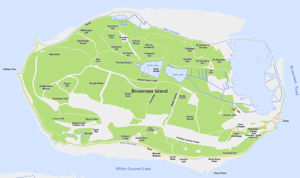
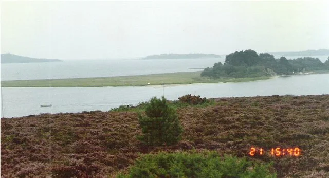
Brownsea Island
Brownsea Island — island in Poole Harbour, Dorset, England, UK.
 Flagship📷 10
 📷 5
📷 5 📷 4
📷 4Frequently asked questions
- Where is Winspit?
- Winspit is in South-West England, United Kingdom (postcode BH19 3LW), in the parish of Worth Matravers.
- What is Winspit?
- Winspit is a disused quarry on the cliffs near Worth Matravers in the Isle of Purbeck, Dorset, England. To the west and east are the hills of West Man and East Man. Until around 1940 Winspit was used
- How do I get to Winspit?
- The nearest railway station is Harman's Cross, about 3.9 km away. Drivers can use postcode BH19 3LW.
- Is Winspit a protected site?
- Yes — Winspit is part of the South Dorset Coast SSSI Site of Special Scientific Interest and the Dorset National Landscape (AONB).
- Is Winspit free to visit?
- Yes, Winspit is free to enter.
- How do I get to Winspit?
- The nearest railway station is Harman's Cross, about 3.9 km away. Drivers can navigate to postcode BH19 3LW.