Mountains & hills · Scottish Lowlands
Wind Fell
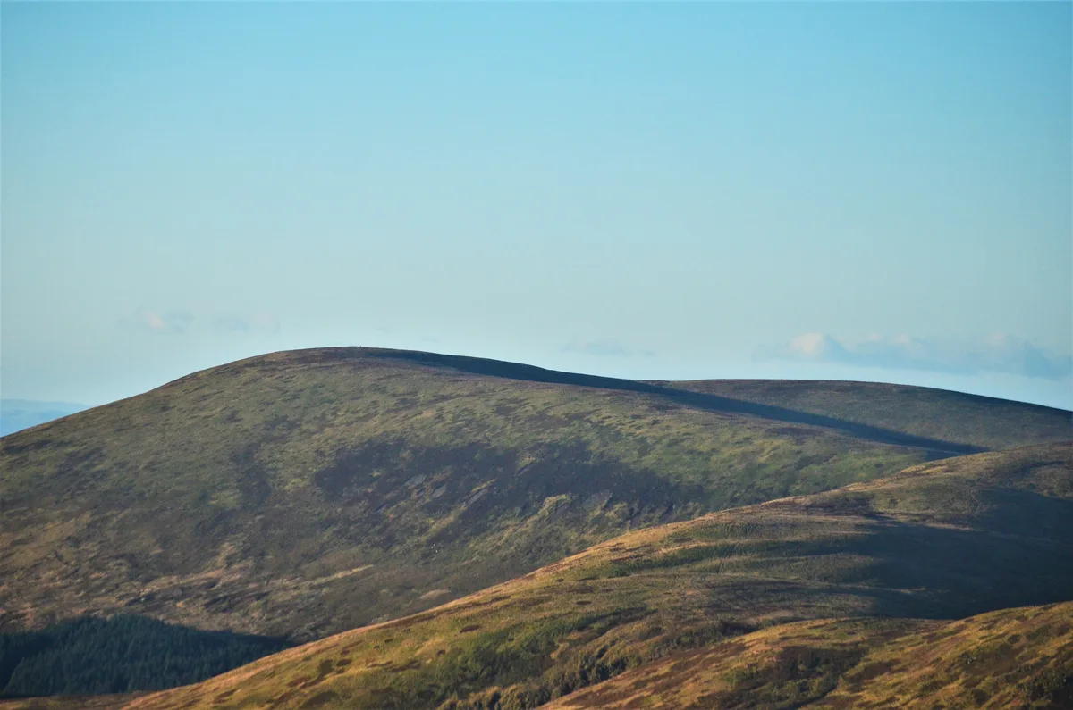
Wind Fell — mountain in scotland lowlands. Elevation: 665 m.

Clive Nicholson — CC BY-SA 2.0 via Wikimedia Commons licence
Plan your visit
- Typical visit
- 3 h–8 h
- Best time of year
- Late spring – early autumn (May–Oct)
About
Wind Fell is a mountain located in scotland lowlands. Elevation: 665 m. A named British peak recorded in OpenStreetMap. Peaks are typically named on Ordnance Survey 1:50k mapping.
Photo gallery
Place summary
Wind Fell is a mountain located in the Scottish Lowlands. It is characterised by its rugged terrain and scenic views, typical of the region's landscape. The area offers opportunities for various outdoor activities, including hiking and wildlife observation, appealing to those interested in nature and exploration.
AI-generated from the structured facts on this page (operator, designation, listing, era). Not a substitute for visiting.
- Coordinates
- 55.3427, -3.2960
Sources
- osm: n3546938947 (ODbL)
Other places nearby
Loading nearby places…
Nearby
📷 5Mountains & hills · Scottish Lowlands
Wind Fell
Wind Fell — a hill or mountain in scotland lowlands.
 📷 5
📷 5Mountains & hills · Scottish Lowlands
Hopetoun Craig
Hopetoun Craig — mountain in scotland lowlands. Elevation: 632 m.
 📷 5
📷 5Mountains & hills · Scottish Lowlands
Graham's Law
Graham's Law — mountain in scotland lowlands. Elevation: 602 m.
 📷 5
📷 5Mountains & hills · Scottish Lowlands
Bear Craig
Bear Craig — mountain in scotland lowlands. Elevation: 495 m.
 📷 5
📷 5Mountains & hills · Scottish Lowlands
Capel Fell
Capel Fell — mountain in scotland lowlands. Elevation: 678 m.
 📷 3
📷 3Mountains & hills · Scottish Lowlands
Loch Fell
Loch Fell — Named summit at 688 m.
Where to eat & stay near Wind Fell
Places to stay
 📷 5
📷 5Hostels · Scottish Lowlands
Johnstone House
Johnstone House — a hostel in scotland lowlands.
 📷 5
📷 5Campsites · Scottish Lowlands
Green Frog
Green Frog — a campsite in scotland lowlands.
 📷 5
📷 5Campsites · Scottish Lowlands
Moffat Camping & Caravanning Club site
Moffat Camping & Caravanning Club site — a campsite in scotland lowlands.
 📷 5
📷 5Hotels · Scottish Lowlands
Buccleuch Arms Hotel
Buccleuch Arms Hotel — a hotel in scotland lowlands.
 📷 5
📷 5Caravan parks · Scottish Lowlands
Angecroft Caravan Park
Angecroft Caravan Park — a caravan park in scotland lowlands.
 📷 5
📷 5Hostels · Scottish Lowlands
Rivox Bunkhouse
Rivox Bunkhouse — a hostel in scotland lowlands.
More mountains in this region
 📷 3
📷 3Mountains & hills · Scottish Lowlands
Andrewhinney Hill
Andrewhinney Hill — Named summit at 677 m.
 📷 3
📷 3Mountains & hills · Scottish Lowlands
Arbory Hill
Arbory Hill — Named summit at 429 m.
 📷 3
📷 3Mountains & hills · Scottish Lowlands
Auchenton Hill ( East Mount Lowther)
Auchenton Hill ( East Mount Lowther) — Named summit at 631 m.
 📷 3
📷 3Mountains & hills · Scottish Lowlands
Bakestall
Bakestall — Named summit at 673.5 m.
Frequently asked questions
- Where is Wind Fell?
- Wind Fell is in the Scottish Lowlands, United Kingdom.
- What is Wind Fell?
- Wind Fell — mountain in scotland lowlands. Elevation: 665 m.
- How do I get to Wind Fell?
- Its coordinates are 55.3427°, -3.2960°.