
Natural landmarks · West Midlands
William Brookes School
In or near Ironbridge.
William Brookes School — a school heritage in england-west-midlands, United Kingdom.

Richard Law — CC BY-SA 2.0 via Wikimedia Commons licence

Plan your visit
- Typical visit
- 1 h–2 h
- Nearest railway station
- Spring Village · 8.4 km
- Free entry
- Dog-friendly
About
William Brookes School is a school heritage located in england-west-midlands, United Kingdom. Catalogued from Wikidata's UK heritage register; see the Wikipedia article for further historical and visitor details.
Photo gallery
Official information
William Brookes School is an educational institution focused on excellence and fostering a supportive community among students. It offers various programs and activities aimed at enhancing the learning experience for its students.
Protected designations
- Area of Outstanding Natural Beauty: Shropshire Hills
Designations sourced from Natural England open data under OGL v3.
Place summary
William Brookes School is located in the West Midlands. It is notable for its educational architecture and serves as a significant institution in the region.
AI-generated from the structured facts on this page (operator, designation, listing, era). Not a substitute for visiting.
Background
History
Wenlock Modern School opened in 1953 as Much Wenlock County Secondary School. The initial intake of students in 1953 was 240 from 10 local primary schools. The intake became 364 in 1971, meaning the school was required to be considerably extended. The original building was extended and modernised various times during its use to be able to cope with the growing demand despite the building deteriorating drastically over the years. An outdoor swimming pool for local schools and the public was built in 1966 and a sports hall was opened in 1975. The secondary modern school later was renamed William Brookes School and became a comprehensive school for 11-16 year olds in 1970. It acquired a small…
Sourced from Wikipedia under CC BY-SA 4.0.
- Coordinates
- 52.6021, -2.5565
- District
- Shropshire
- Parish
- Much Wenlock
- Postcode
- TF13 6NB
- Parliamentary constituency
- South Shropshire
- Phone
- 01952 728 900
- Established
- 1952
- Nearest railway station
- Spring Village — 8.4 km
- Official site
- williambrookes.com
Sources
- wikidata: Q22909777 (CC0)
- wikipedia: William Brookes School (CC BY-SA 4.0)
Other places nearby

Old Windmill
Viewpoints · 0.2 km
The Old Windmill To West Of Shadwell Rock Quarry
Windmills · 0.2 km
Much Wenlock Windmill
Windmills · 0.2 km

William Penny Brookes
Public art & sculpture · 0.3 km

Wenlock Priory
Abbeys & priories · 0.5 km

Wenlock Priory
Archaeological sites · 0.5 km

Sytche Camping and Caravan Park
Campsites · 0.6 km

Priory Tower
Memorials & monuments · 0.6 km
.jpg?width=1200)
Priory House
Historic houses · 0.6 km

Much Wenlock
Caves · 0.6 km
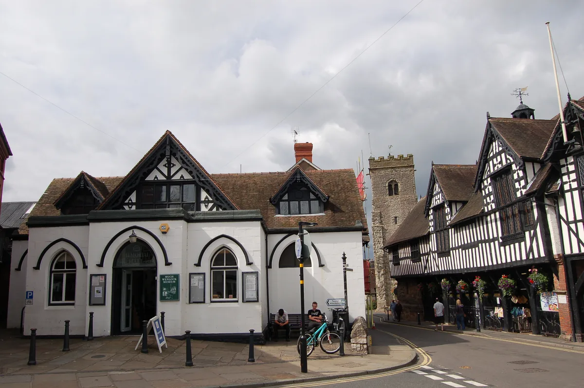
Much Wenlock Museum
Museums · 0.6 km

Dr William Penny Brookes
Memorials & monuments · 0.7 km
Nearby
📷 4Viewpoints · West Midlands
Old Windmill
Old Windmill is a viewpoint in the United Kingdom.
📷 3Windmills · West Midlands
The Old Windmill To West Of Shadwell Rock Quarry
The Old Windmill To West Of Shadwell Rock Quarry — Grade II listed building-listed windmill in england-west-midlands, United Kingdom.
📷 3Windmills · West Midlands
Much Wenlock Windmill
Much Wenlock Windmill is a windmill in the United Kingdom.
📷 4Public art & sculpture · West Midlands
William Penny Brookes
William Penny Brookes — a public art in england-west-midlands, United Kingdom.
📷 3Abbeys & priories · West Midlands
Wenlock Priory
Wenlock Priory — a abbey in england-west-midlands, United Kingdom.
📷 5Archaeological sites · West Midlands
Wenlock Priory
Wenlock Priory — archaeological in england west midlands. Operated by English Heritage.
Where to eat & stay near William Brookes School
Places to stay
📷 5Campsites · West Midlands
Sytche Camping and Caravan Park
Sytche Camping and Caravan Park — a campsite in england west midlands.
 📷 5
📷 5Caravan parks · West Midlands
Pool View Caravan Park
Pool View Caravan Park — a caravan park in england west midlands.
 📷 5
📷 5 📷 5
📷 5 📷 5
📷 5Campsites · West Midlands
Iron Gorge Camping
Iron Gorge Camping — a campsite in england west midlands.
 📷 5
📷 5Places to eat & drink
 📷 7
📷 7Historic pubs · West Midlands
Kynnersley Arms Public House Incorporating Remains Of Mill And Furnace
Kynnersley Arms Public House Incorporating Remains Of Mill And Furnace in England West Midlands, United Kingdom.
 📷 5
📷 5Historic pubs · West Midlands
Crown Inn Including Outbuildings Adjoining South West
Crown Inn Including Outbuildings Adjoining South West in England West Midlands, United Kingdom.
 📷 7
📷 7Historic pubs · West Midlands
The Coalbrookdale Inn
The Coalbrookdale Inn in England West Midlands, United Kingdom.
 📷 5
📷 5Historic pubs · West Midlands
The Golden Ball Public House
The Golden Ball Public House in England West Midlands, United Kingdom.
 📷 5
📷 5Historic pubs · West Midlands
The Beacon Public House
The Beacon Public House in England West Midlands, United Kingdom.
 📷 5
📷 5Historic pubs · West Midlands
All Nations Inn
All Nations Inn in England West Midlands, United Kingdom.
More natural landmarks in this region
 📷 5
📷 5Natural landmarks · West Midlands
Abbots Bromley School
Abbots Bromley School — a school heritage in england-east-midlands, United Kingdom.
 📷 5
📷 5Natural landmarks · West Midlands
Fair Oak Academy
Fair Oak Academy — a school heritage in england-east-midlands, United Kingdom.
 📷 5
📷 5Natural landmarks · West Midlands
The Hart School
The Hart School — a school heritage in england-east-midlands, United Kingdom.
 📷 3
📷 3Natural landmarks · West Midlands
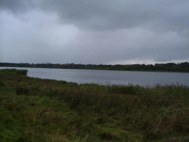
Aqualate Mere
Aqualate Mere is a natural landmark in the United Kingdom.
Frequently asked questions
- Where is William Brookes School?
- William Brookes School is in the West Midlands, United Kingdom (postcode TF13 6NB), in the parish of Much Wenlock.
- What is William Brookes School?
- William Brookes School — a school heritage in england-west-midlands, United Kingdom.
- How do I get to William Brookes School?
- The nearest railway station is Spring Village, about 8.4 km away. Drivers can use postcode TF13 6NB.
- When was William Brookes School built?
- Built or established in 1952.
- Is William Brookes School a protected site?
- Yes — William Brookes School is part of the Shropshire Hills National Landscape (AONB).
- Is William Brookes School free to visit?
- Yes, William Brookes School is free to enter.
- How do I get to William Brookes School?
- Drivers can navigate to postcode TF13 6NB. It sits within the South Shropshire parliamentary constituency.