
Natural landmarks · London
Wildernesse School
In or near Kemsing.
Wildernesse School — a school heritage in england-london, United Kingdom.

Chris Whippet — CC BY-SA 2.0 via Wikimedia Commons licence

Plan your visit
- Typical visit
- 1 h–2 h
- Nearest railway station
- Bat & Ball · 1.8 km
- Free entry
- Dog-friendly
About
Wildernesse School is a school heritage located in england-london, United Kingdom. Catalogued from Wikidata's UK heritage register; see the Wikipedia article for further historical and visitor details.
Photo gallery
Protected designations
- Area of Outstanding Natural Beauty: Kent Downs
Designations sourced from Natural England open data under OGL v3.
Place summary
Wildernesse School is located in London. This educational institution is known for its historical significance and architectural features. Further details regarding its era, designation, or architect are not provided.
AI-generated from the structured facts on this page (operator, designation, listing, era). Not a substitute for visiting.
- Coordinates
- 51.2854, 0.2189
- County
- Kent
- District
- Sevenoaks
- Parish
- Seal
- Postcode
- TN15 0EQ
- Parliamentary constituency
- Sevenoaks
- Nearest railway station
- Bat & Ball — 1.8 km
Sources
- wikidata: Q8001186 (CC0)
- wikipedia: Wildernesse School (CC BY-SA 4.0)
Other places nearby

The Kentish Yeoman Public House
Historic pubs · 0.4 km
Seal
Villages · 0.4 km

Church of St Peter and St Paul, Seal
Historic churches · 0.6 km

Sevenoaks Muslim Centre
Historic churches · 1.8 km

Sevenoaks Preparatory School
Natural landmarks · 2.0 km

Sevenoaks War Memorial
Memorials & monuments · 2.1 km

Stonepitts Manor House
Historic houses · 2.1 km

Sevenoaks Swimming Pool
Lidos & outdoor pools · 2.2 km

Sevenoaks Museum
Museums · 2.3 km
Sevenoaks Kaleidoscope Art Gallery
Galleries · 2.3 km

Granada Sevenoaks
Theatres · 2.3 km

Knole House
Historic houses · 2.3 km
Nearby
📷 6Historic pubs · London
The Kentish Yeoman Public House
The Kentish Yeoman Public House in England London, United Kingdom.
📷 5📷 5Historic churches · London
Church of St Peter and St Paul, Seal
Church of St Peter and St Paul, Seal — church in Seal, Kent, England, UK.
📷 5Historic churches · London
Sevenoaks Muslim Centre
Sevenoaks Muslim Centre — a church in england-london, United Kingdom.
📷 5Natural landmarks · South East England
Sevenoaks Preparatory School
Sevenoaks Preparatory School — a school heritage in england-london, United Kingdom.
📷 5Memorials & monuments · South East England
Sevenoaks War Memorial
Sevenoaks War Memorial — Grade II listed building-listed memorial in england-london, United Kingdom.
Where to eat & stay near Wildernesse School
Places to stay
 📷 7
📷 7 📷 5
📷 5Campsites · London
Oldbury Hill Camping and Caravanning Club Site
Oldbury Hill Camping and Caravanning Club Site — a campsite in england london.
 📷 7
📷 7 📷 5
📷 5 📷 7
📷 7 📷 5
📷 5Places to eat & drink
📷 6Historic pubs · London
The Kentish Yeoman Public House
The Kentish Yeoman Public House in England London, United Kingdom.
 📷 7
📷 7Historic pubs · South East England
The Black Boy Public House
The Black Boy Public House in England South East, United Kingdom.
 📷 7
📷 7Historic pubs · South East England
The Chequers Inn
The Chequers Inn in England South East, United Kingdom.
 📷 7
📷 7Historic pubs · London
The Riverhead Public House
The Riverhead Public House in England London, United Kingdom.
 📷 5
📷 5Historic pubs · London
The Beehive Public House
The Beehive Public House in England London, United Kingdom.
 📷 7
📷 7More natural landmarks in this region
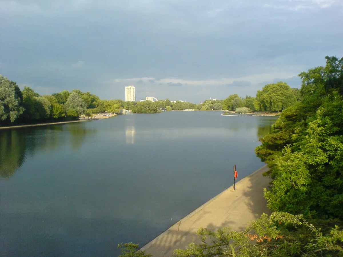 Flagship📷 10
Natural landmarks · London
Serpentine
Serpentine — lake in Hyde Park, London, United Kingdom.
 📷 5
📷 5Natural landmarks · London
Charles II
Charles II — Public artwork (statue) by Caius Gabriel Cibber.
 📷 5
📷 5Natural landmarks · London
Clifford the big red dog
Clifford the big red dog — Public artwork (statue).
_(cropped).JPG?width=1200) 📷 5
📷 5Natural landmarks · London
George Stuart White
George Stuart White — Public artwork (statue).
Frequently asked questions
- Where is Wildernesse School?
- Wildernesse School is in Kent, London, United Kingdom (postcode TN15 0EQ), in the parish of Seal.
- What is Wildernesse School?
- Wildernesse School — a school heritage in england-london, United Kingdom.
- How do I get to Wildernesse School?
- The nearest railway station is Bat & Ball, about 1.8 km away. Drivers can use postcode TN15 0EQ.
- Is Wildernesse School a protected site?
- Yes — Wildernesse School is part of the Kent Downs National Landscape (AONB).
- Is Wildernesse School free to visit?
- Yes, Wildernesse School is free to enter.
- How do I get to Wildernesse School?
- The nearest railway station is Bat & Ball, about 1.8 km away. Drivers can navigate to postcode TN15 0EQ.