
Villages · East of England
Whitwell
In or near Booton.
Whitwell — a village in england east midlands.

Geographer — CC BY-SA 2.0 via Wikimedia Commons licence
Plan your visit
- Typical visit
- 1 h–2 h
About
A British village — settlements of this size traditionally cluster a green, parish church, pub and post office around historic land routes.
Photo gallery
Protected designations
- Site of Special Scientific Interest: River Wensum SSSI
- Area of Outstanding Natural Beauty: Norfolk Coast
Designations sourced from Natural England open data under OGL v3.
Place summary
Whitwell is a village located in the East Midlands. This rural settlement is characterised by its quiet atmosphere and traditional architecture. The surrounding countryside offers a typical English landscape, making it a suitable spot for those seeking a tranquil environment.
AI-generated from the structured facts on this page (operator, designation, listing, era). Not a substitute for visiting.
- Coordinates
- 52.7500, 1.1000
- County
- Norfolk
- District
- Broadland
- Parish
- Reepham
- Postcode
- NR10 4GA
- Parliamentary constituency
- Broadland and Fakenham
Sources
- manual: geonames-2634000 (CC BY 4.0)
Other places nearby

Whitwell & Reepham Restored Railway Station
Natural landmarks · 0.2 km
Whitwell and Reepham railway station
Heritage railway stations · 0.3 km

Whitwell and Reepham Railway Camping
Campsites · 0.3 km

Reepham, Norfolk
Museums · 1.6 km

Reepham Village Sign
Public art & sculpture · 1.6 km

Reepham
Villages · 1.6 km
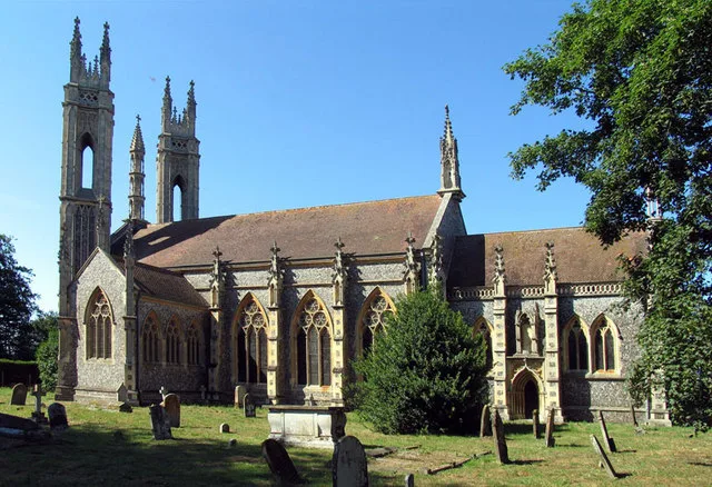
Booton
Towns & cities · 2.1 km

Witchingham
Villages · 2.2 km

Booton Common
Forests & woodlands · 2.4 km
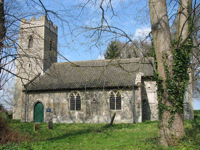
St Faith's Church, Little Witchingham
Historic churches · 2.5 km

Old Hall
Historic houses · 2.8 km
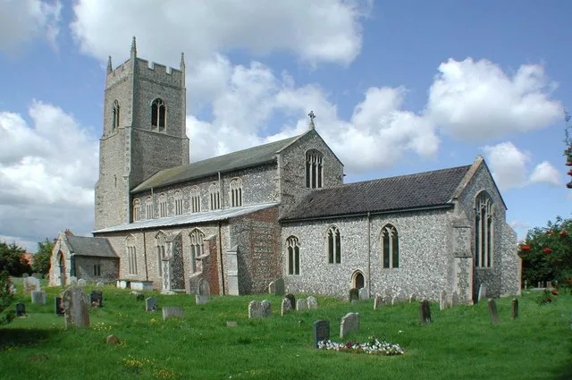
Sparham
Towns & cities · 2.8 km
Nearby
📷 3Natural landmarks · East of England
Whitwell & Reepham Restored Railway Station
Whitwell & Reepham Restored Railway Station — a other in england-east-midlands, United Kingdom.
📷 5Heritage railway stations · East of England
Whitwell and Reepham railway station
Whitwell and Reepham railway station — a other in england-east-midlands, United Kingdom.
📷 5Campsites · East of England
Whitwell and Reepham Railway Camping
Whitwell and Reepham Railway Camping — a campsite in england east midlands.
📷 5Museums · East of England
Reepham, Norfolk
Reepham () is a market town and civil parish in the Broadland district of Norfolk, England. The town is on the B1145 road between the Bure and Wensum valleys, and is 12 miles (19 km) northwest of Norw
📷 3Public art & sculpture · East of England
Reepham Village Sign
Reepham Village Sign — a public art in england-east-midlands, United Kingdom.
📷 5Where to eat & stay near Whitwell
Places to stay
📷 5Campsites · East of England
Whitwell and Reepham Railway Camping
Whitwell and Reepham Railway Camping — a campsite in england east midlands.
 📷 5
📷 5 📷 5
📷 5 📷 5
📷 5Caravan parks · East of England
Martintole Farm
Martintole Farm — a caravan park in england east midlands.
 📷 5
📷 5Caravan parks · East of England
Charmbeck Park
Charmbeck Park — a caravan park in england east midlands.
📷 5Campsites · East of England
Moat Island Glamping
Moat Island Glamping — a campsite in england east midlands.
Places to eat & drink
 📷 5
📷 5 📷 5
📷 5Historic pubs · East of England
Buckinghamshire Arms Public House
Buckinghamshire Arms Public House in England East, United Kingdom.
 📷 5
📷 5Historic pubs · East of England
Saracen's Head
Saracen's Head in England East, United Kingdom.
 📷 5
📷 5Historic pubs · East of England
The Marlpit Public House
The Marlpit Public House in England East, United Kingdom.
 📷 5
📷 5Historic pubs · East of England
Black Boys Public House
Black Boys Public House in England East, United Kingdom.
 📷 5
📷 5More places in this region


Frequently asked questions
- Where is Whitwell?
- Whitwell is in Norfolk, the East Midlands, United Kingdom (postcode NR10 4GA), in the parish of Reepham.
- What is Whitwell?
- Whitwell — a village in england east midlands.
- How do I get to Whitwell?
- Drivers can use postcode NR10 4GA.
- Is Whitwell a protected site?
- Yes — Whitwell is part of the River Wensum SSSI Site of Special Scientific Interest and the Norfolk Coast National Landscape (AONB).
- How do I get to Whitwell?
- Drivers can navigate to postcode NR10 4GA. It sits within the Broadland and Fakenham parliamentary constituency.