
Natural landmarks · South Wales
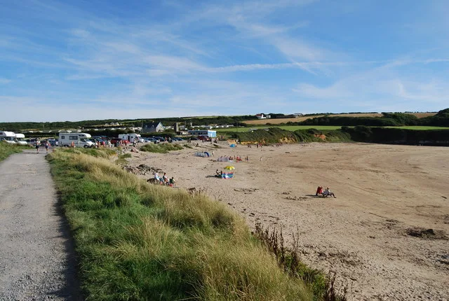
Whitedole Bay
Whitedole Bay — a natural feature in wales south.

Eirian Evans — CC BY-SA 2.0 via Wikimedia Commons licence

Plan your visit
- Typical visit
- 1 h–2 h
- Nearest railway station
- Milford Haven · 6.9 km
- Dog-friendly
About
Whitedole Bay is a named natural feature in wales south, recorded in the GeoNames UK gazetteer. British landmarks of this type are typically marked on Ordnance Survey maps and recorded in the national gazetteer for cartographic and navigational reference. Coordinates and feature classification are sourced from the GeoNames open dataset.
Photo gallery
Place summary
Whitedole Bay is a natural landmark located in South Wales, within the parish of Angle. The bay features a coastline characterised by its rugged cliffs and sandy beaches, offering scenic views of the surrounding landscape. Visitors can expect a tranquil environment with opportunities for coastal walks and wildlife observation. The area is part of the larger natural scenery that defines this region of Wales.
AI-generated from the structured facts on this page (operator, designation, listing, era). Not a substitute for visiting.
- Coordinates
- 51.6728, -5.1147
- District
- Pembrokeshire
- Parish
- Angle
- Postcode
- SA71 5BG
- Parliamentary constituency
- Mid and South Pembrokeshire
- Nearest railway station
- Milford Haven — 6.9 km
Sources
- manual: geonames-11103285 (CC BY 4.0)
Other places nearby

Castles Bay Camp
Literary houses · 0.2 km
Castles Bay
Vineyards · 0.2 km

Parsonsquarry Bay
Natural landmarks · 0.6 km

Castles Bay Camp
Castles · 1.3 km
West Angle Bay
Beaches · 1.6 km

West Pickard Camp
Vineyards · 1.7 km

West Angle Bay
Vineyards · 1.9 km

Windmill adapted as machine-gun post
Windmills · 2.0 km

Thorn Island Fort
Forts · 2.1 km

Angle Castle
Literary houses · 2.1 km

Monument to John Mirehouse
Memorials & monuments · 2.2 km

Chapel Bay Fort
Historic houses · 2.2 km
Nearby
📷 5Literary houses · South Wales
Castles Bay Camp
Castles Bay Camp — a literary house museum in wales south.
📷 5Vineyards · South Wales
Castles Bay
Castles Bay — a UK vineyard in wales south, producing English or Welsh wine from cool-climate grape varieties.
📷 5Natural landmarks · South Wales
Parsonsquarry Bay
Parsonsquarry Bay — a natural feature in wales south.
📷 5📷 3📷 5Vineyards · South Wales
West Pickard Camp
West Pickard Camp — a UK vineyard in wales south, producing English or Welsh wine from cool-climate grape varieties.
Where to eat & stay near Whitedole Bay
Places to stay
 📷 5
📷 5 📷 5
📷 5 📷 5
📷 5 📷 5
📷 5 📷 5
📷 5 📷 5
📷 5Places to eat & drink
 📷 5
📷 5
 📷 7
📷 7More natural landmarks in this region
 📷 3
📷 3Natural landmarks · South Wales
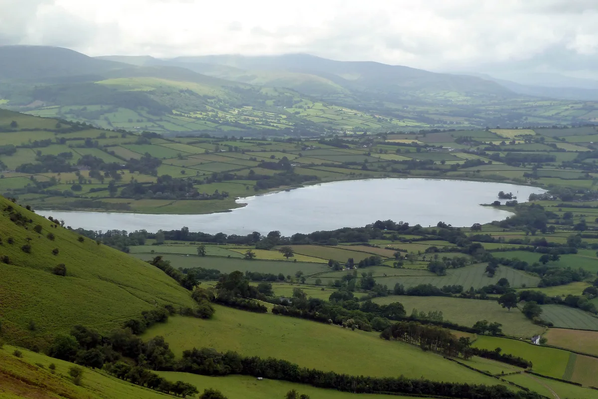
Llangorse Lake
Llangorse Lake — lake near Brecon, Powys, Wales, UK.
 📷 3
📷 3.jpg?width=1200) 📷 3
📷 3Natural landmarks · South Wales
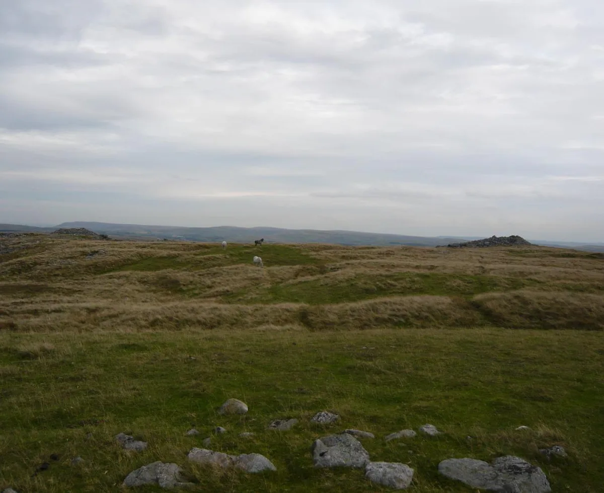
Copper Flame
Copper Flame — Public artwork (installation) by Robin Campbell (designer), Martin Williams (sculptor), Andrew Rowe, Theo Grunewald (metal workers).
 📷 3
📷 3Natural landmarks · South Wales
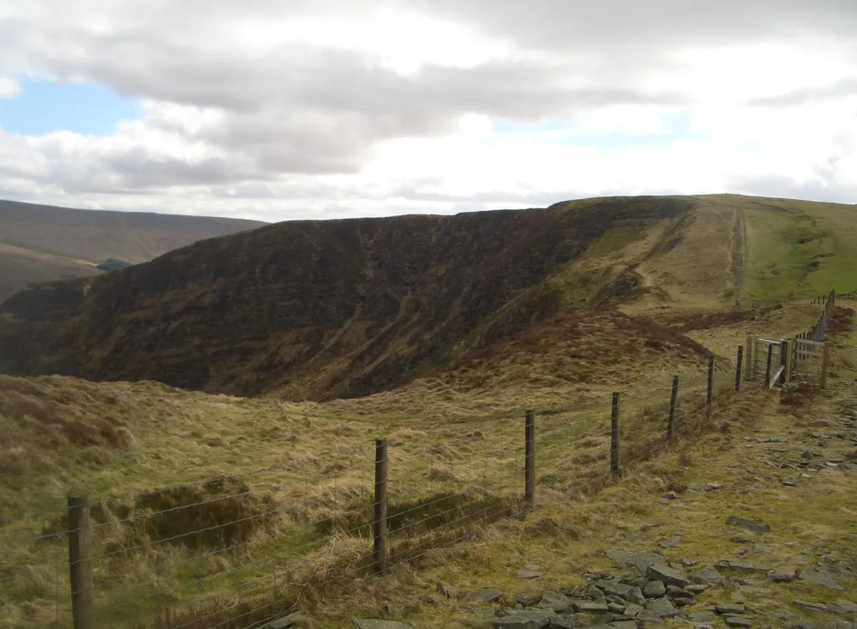
Craig Cerrig-gleisiad
Craig Cerrig-gleisiad — mountain (629m) in Powys.
Frequently asked questions
- Where is Whitedole Bay?
- Whitedole Bay is in South Wales, United Kingdom (postcode SA71 5BG), in the parish of Angle.
- What is Whitedole Bay?
- Whitedole Bay — a natural feature in wales south.
- How do I get to Whitedole Bay?
- The nearest railway station is Milford Haven, about 6.9 km away. Drivers can use postcode SA71 5BG.
- How do I get to Whitedole Bay?
- The nearest railway station is Milford Haven, about 6.9 km away. Drivers can navigate to postcode SA71 5BG.