
Beaches · South Wales
Westdale Bay
Westdale Bay is a beach in the United Kingdom.

Robin Lucas — CC BY-SA 2.0 via Wikimedia Commons licence

Plan your visit
- Typical visit
- 1 h–3 h
- Best time of year
- Summer (Jun–Aug)
- Free entry
- Family-friendly
- Dog-friendly
About
Westdale Bay is a named beach on the United Kingdom coastline. Coordinates: 51.7080°, -5.1889°. This entry is part of The Great Britain Guide, a free, ad-free, open-data tourist directory.
Photo gallery
From the Wikipedia article
Westdale is a residential neighbourhood in Hamilton, Ontario, Canada. It is centred in the Westdale Village shopping district and located near McMaster University. It is bordered to the north by Cootes Paradise, an extensive nature reserve marking the western end of Lake Ontario, to the south by Main Street and Ainslie Wood, to the east by Highway 403, and to the west by McMaster University.
Excerpt from Wikipedia under CC BY-SA 4.0. See the source article linked in Sources below.
Background
History
Archeological surveys have shown that the land south of what is now Cootes Paradise was inhabited by successive Indigenous nations. In the early seventeenth-century, when the first French explorers and missionaries visited the western edge of Lake Ontario, they found the region populated by native people, who were referred to as the Neutral Nation because of their neutrality in the disputes between the Iroquois Confederacy and the Huron. In the mid-seventeenth century, the Neutral Nation and the Hurons were defeated by the Iroquois Confederacy. Eventually, Anishinaabe people from what is now northern Ontario began to push southwards and displace the Iroquois. In 1792 the Mississaugas of the…
Sourced from Wikipedia under CC BY-SA 4.0.
- Coordinates
- 51.7080, -5.1889
- District
- Pembrokeshire
- Parish
- Dale
- Postcode
- SA62 3RL
- Parliamentary constituency
- Mid and South Pembrokeshire
Sources
- osm: w250962415 (ODbL)
- wikipedia: Westdale, Hamilton (CC BY-SA 4.0)
Other places nearby
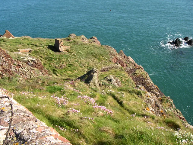
Great Castle Head
Castles · 0.2 km

Runway
Historic houses · 0.4 km
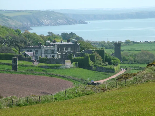
Dale Castle
Castles · 0.7 km

Dale Hill Farm Campsite
Campsites · 0.8 km

The Windmill Tower at Windmill Farm
Windmills · 1.2 km

Welshman's Bay
Natural landmarks · 1.3 km

Gann Lime Kilns
Historic houses · 1.3 km

Little Castle Point, Dale
Vineyards · 1.9 km
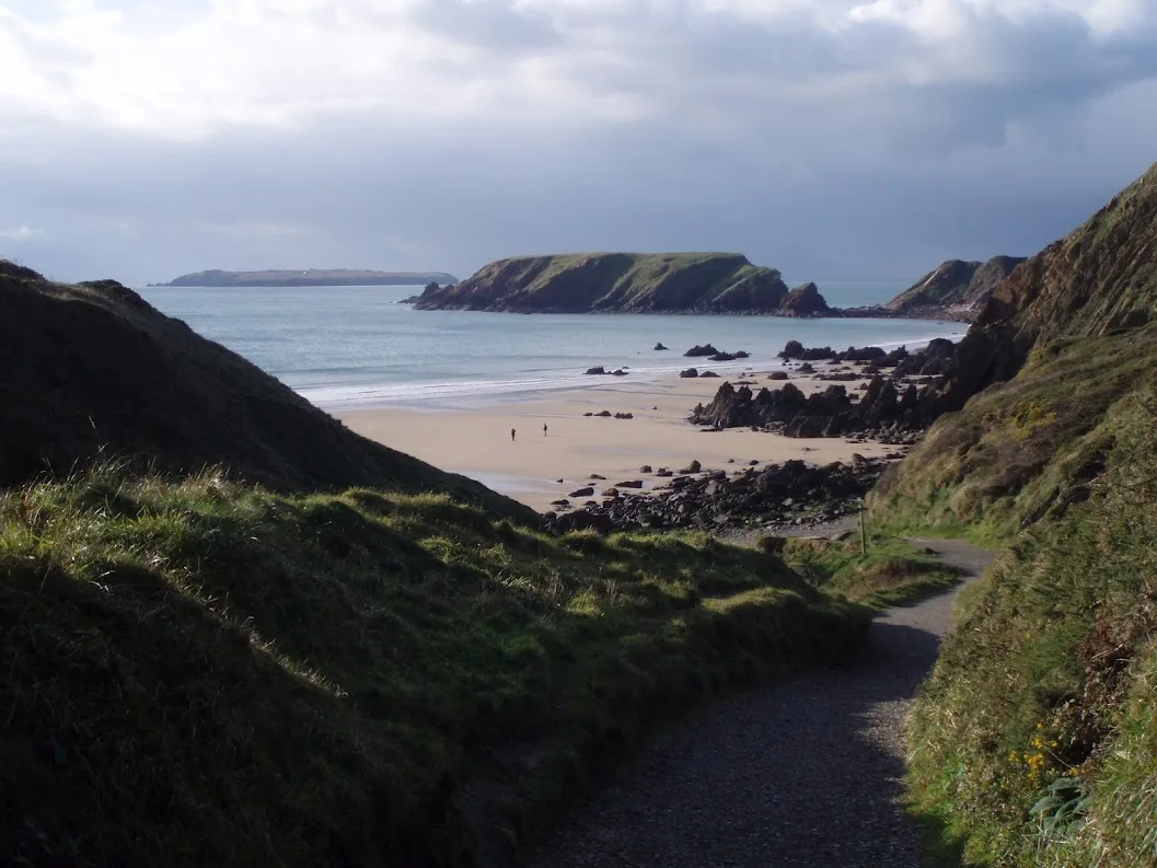
Marloes Sands
Mountains & hills · 2.0 km
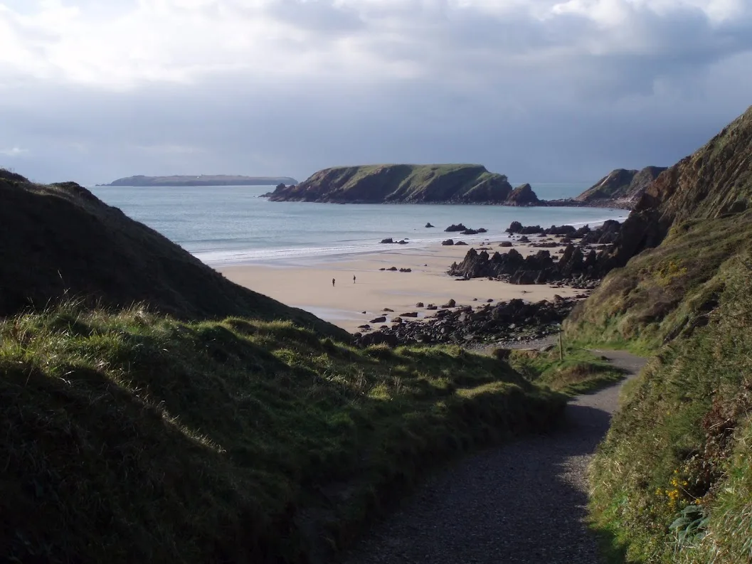
Marloes Sands
Beaches · 2.1 km

Brunt Farm Hill
Mountains & hills · 2.1 km

Castle Beach
Beaches · 2.2 km
Nearby
📷 3📷 3📷 3Castles · South Wales
Dale Castle
Dale Castle — Grade II listed building in Pembrokeshire. Situated prominently to W of village, on rising ground facing S.
📷 5📷 5Windmills · South Wales
The Windmill Tower at Windmill Farm
The Windmill Tower at Windmill Farm — Grade II listed building-listed windmill in wales-south, United Kingdom.
📷 5Where to eat & stay near Westdale Bay
Places to stay
📷 5 📷 5
📷 5 📷 5
📷 5 📷 5
📷 5Campsites · South Wales
West Hook Farm
West Hook Farm — a campsite in wales south.
 📷 5
📷 5 📷 4
📷 4Campsites · South Wales
Mill Haven Place
Mill Haven Place — a campsite in wales south.
Places to eat & drink
 📷 5
📷 5 📷 5
📷 5 📷 7
📷 7Restaurants · South Wales
The Lost Coins
The Lost Coins — a restaurant in wales south.
More beaches in this region
 📷 3
📷 3 📷 3
📷 3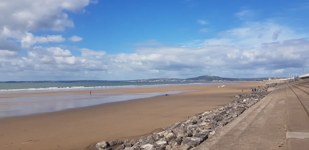 📷 4
📷 4Beaches · South Wales
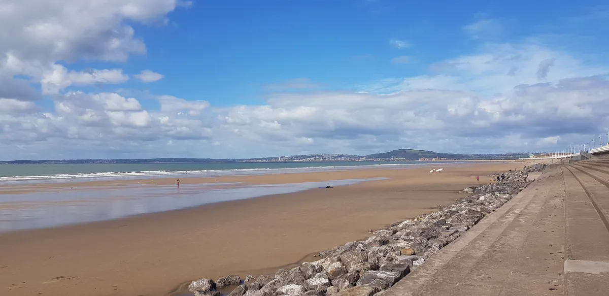
Aberavon Beach
Aberavon Beach is a beach in the United Kingdom.
 📷 4
📷 4Frequently asked questions
- Where is Westdale Bay?
- Westdale Bay is in South Wales, United Kingdom (postcode SA62 3RL), in the parish of Dale.
- What is Westdale Bay?
- Westdale Bay is a beach in the United Kingdom.
- How do I get to Westdale Bay?
- Drivers can use postcode SA62 3RL.
- Is Westdale Bay free to visit?
- Yes, Westdale Bay is free to enter.
- How do I get to Westdale Bay?
- Drivers can navigate to postcode SA62 3RL. It sits within the Mid and South Pembrokeshire parliamentary constituency.