
Other places · North East England
West Blackdene
In or near Hunstanworth.
West Blackdene in England North East, United Kingdom.

Trevor Littlewood — CC BY-SA 2.0 via Wikimedia Commons licence

Plan your visit
- Typical visit
- 1 h–2 h
About
West Blackdene is a place of interest in England North East, United Kingdom — drawn from open-data sources for visitor reference. See the linked Wikipedia article for the full description.
Photo gallery
Protected designations
- Area of Outstanding Natural Beauty: North Pennines
Designations sourced from Natural England open data under OGL v3.
From the Wikipedia article
West Blackdene is a village in the civil parish of Stanhope, in County Durham, England. It is situated to the north of the River Wear, opposite Ireshopeburn. In the 2001 census West Blackdene had a population of 37.
Excerpt from Wikipedia under CC BY-SA 4.0. See the source article linked in Sources below.
- Coordinates
- 54.7460, -2.2070
- District
- County Durham
- Parish
- Stanhope
- Postcode
- DL13 1FB
- Parliamentary constituency
- Bishop Auckland
Sources
- wikidata: Q7984478 (CC0)
- wikipedia: West Blackdene (CC BY-SA 4.0)
Other places nearby

West Blackdene Bridge
Historic bridges · 0.2 km

Gate House Cottage Caravan Site
Caravan parks · 0.3 km

Ireshopeburn
Reservoirs & lochs · 0.4 km

Coronation Bridge
Historic bridges · 0.6 km

Weardale House Mound
Castles · 0.6 km
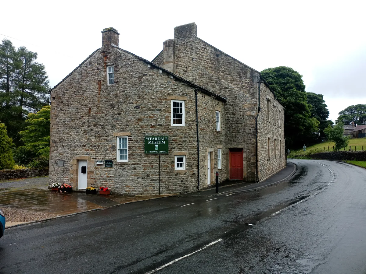
Weardale Museum
Museums · 0.7 km

Wearhead railway station
Heritage railway stations · 0.9 km

Pennine Lodge
Campsites · 0.9 km

Wearhead
Other places · 1.1 km

East Blackdene
Chapels · 1.8 km

Country Style Holiday Home Park
Caravan parks · 1.9 km

Cowshill
Memorials & monuments · 1.9 km
Nearby
📷 3Historic bridges · North East England
West Blackdene Bridge
West Blackdene Bridge — Grade II listed building-listed bridge in scotland-lowlands, United Kingdom.
📷 5Caravan parks · North East England
Gate House Cottage Caravan Site
Gate House Cottage Caravan Site — a caravan park in scotland lowlands.
📷 5Reservoirs & lochs · North East England
Ireshopeburn
Ireshopeburn in England North East, United Kingdom.
📷 4Historic bridges · North East England
Coronation Bridge
Coronation Bridge — Grade II listed building-listed bridge in scotland-lowlands, United Kingdom.
📷 5Castles · North East England
Weardale House Mound
Weardale House Mound — a castle in scotland lowlands.
📷 3Museums · North East England
Weardale Museum
Weardale Museum — museum in Weardale, England, United Kingdom.
Where to eat & stay near West Blackdene
Places to stay
📷 5Caravan parks · North East England
Gate House Cottage Caravan Site
Gate House Cottage Caravan Site — a caravan park in scotland lowlands.
📷 5Campsites · North East England
Pennine Lodge
Pennine Lodge — a campsite in scotland lowlands.
📷 5Caravan parks · North East England
Country Style Holiday Home Park
Country Style Holiday Home Park — a caravan park in scotland lowlands.
 📷 5
Caravan parks · North East England
Westgate Caravan Park and Camping Site
Westgate Caravan Park and Camping Site — a caravan park in scotland lowlands.
 📷 5
Hotels · North East England
Westgate Manor
Westgate Manor — a hotel in scotland lowlands.
 📷 5
Caravan parks · North East England
Swinhopeburn Caravan Site
Swinhopeburn Caravan Site — a caravan park in scotland lowlands.
Places to eat & drink
 📷 5
Historic pubs · North East England
The Lord Crewe Arms Hotel
The Lord Crewe Arms Hotel in Scotland Lowlands, United Kingdom.
 📷 5
Cafés · North East England
The White Monk Tearoom
The White Monk Tearoom — a café in scotland lowlands.
 📷 5
Historic pubs · North East England
Black Bull Public House
Black Bull Public House in Scotland Lowlands, United Kingdom.
 📷 5
 📷 5
Historic pubs · North East England
Travellers' Rest Inn
Travellers' Rest Inn in Scotland Lowlands, United Kingdom.
More places in this region
 📷 5
Other places · North East England
Appleby Horse Fair
The Appleby Horse Fair, previously known as Appleby New Fair, is an annual gathering of Romani people (Gypsies) and Travellers in Appleby-in-Westmorland in Cumbria, England. The horse fair is held eac
 📷 5
Other places · North East England
Crosby Garrett
Crosby Garrett in England North East, United Kingdom.
 📷 5
Other places · North East England
Ravenstonedale
Ravenstonedale in England North East, United Kingdom.
 📷 5
Frequently asked questions
- Where is West Blackdene?
- West Blackdene is in North-East England, United Kingdom (postcode DL13 1FB), in the parish of Stanhope.
- What is West Blackdene?
- West Blackdene in England North East, United Kingdom.
- How do I get to West Blackdene?
- The nearest town is Hunstanworth. Drivers can use postcode DL13 1FB.
- Is West Blackdene a protected site?
- Yes — West Blackdene is part of the North Pennines National Landscape (AONB).
- How do I get to West Blackdene?
- Drivers can navigate to postcode DL13 1FB. It sits within the Bishop Auckland parliamentary constituency.