Castles · Scottish Lowlands
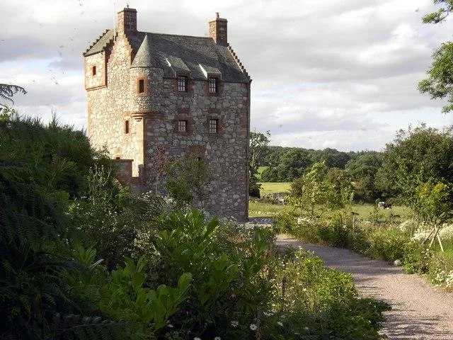
Weardale House Mound
Weardale House Mound — a castle in scotland lowlands.

Stephen McKay — CC BY-SA 2.0 via Wikimedia Commons licence
Plan your visit
- Typical visit
- 1.5 h–3 h
About
Weardale House Mound is a named castle in scotland lowlands, recorded in the GeoNames UK gazetteer. British landmarks of this type are typically marked on Ordnance Survey maps and recorded in the national gazetteer for cartographic and navigational reference. Coordinates and feature classification are sourced from the GeoNames open dataset.
Photo gallery
Place summary
Weardale House Mound is a historic castle located in the Scottish Lowlands. It is characterised by its earthwork structure, indicative of the medieval period. The site is of archaeological interest, reflecting the region's rich history. Visitors can explore the surrounding landscape, which offers a glimpse into the area's past.
AI-generated from the structured facts on this page (operator, designation, listing, era). Not a substitute for visiting.
- Coordinates
- 54.7412, -2.2016
Sources
- manual: geonames-6287954 (CC BY 4.0)
Other places nearby
Loading nearby places…
Nearby
 📷 3
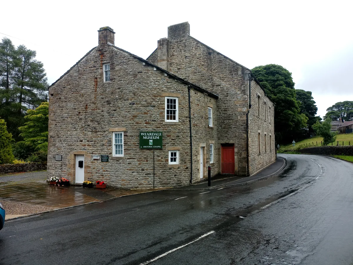
📷 3Museums · Scottish Lowlands
Weardale Museum
Weardale Museum — museum in Weardale, England, United Kingdom.
 📷 4
📷 4Historic bridges · Scottish Lowlands
Coronation Bridge
Coronation Bridge — Grade II listed building-listed bridge in scotland-lowlands, United Kingdom.
 📷 5
📷 5Campsites · Scottish Lowlands
Pennine Lodge
Pennine Lodge — a campsite in scotland lowlands.
 📷 5
📷 5Caravan parks · Scottish Lowlands
Gate House Cottage Caravan Site
Gate House Cottage Caravan Site — a caravan park in scotland lowlands.
 📷 5
📷 5Reservoirs & lochs · North East England
Ireshopeburn
Ireshopeburn in England North East, United Kingdom.
 📷 4
📷 4Other places · North East England
West Blackdene
West Blackdene in England North East, United Kingdom.
More castles in this region
 📷 3
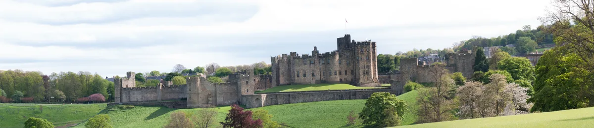
📷 3Castles · Scottish Lowlands
Alnwick Castle
Alnwick Castle — castle and stately home in Alnwick, Northumberland, England, UK; seat of the Duke of Northumberland, England, UK.
 ★ Iconic📷 4
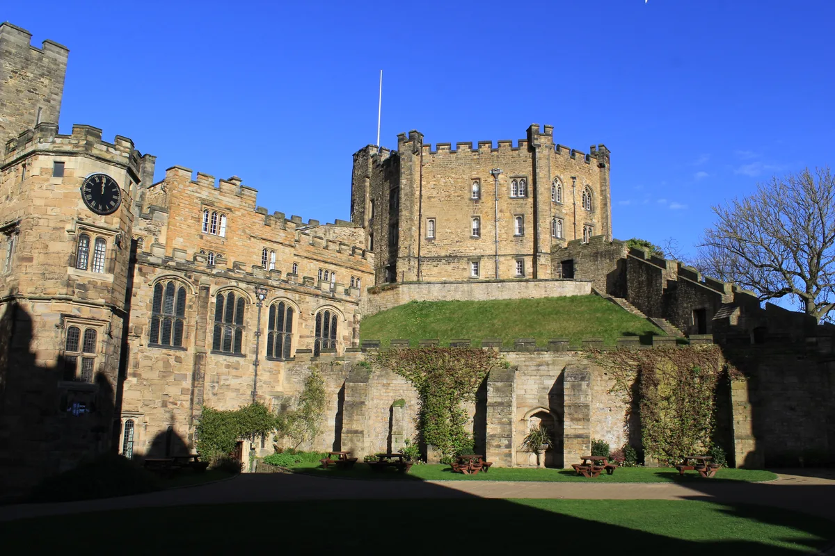
Castles · Scottish Lowlands
Durham Castle
Durham Castle — Grade I listed historic house museum in Durham, England, UK.
 📷 3
📷 3Castles · Scottish Lowlands
Abbot's Tower
Abbot's Tower — castle in Dumfries and Galloway, Scotland, UK.
 📷 3
📷 3Castles · Scottish Lowlands
Ailsa Craig Castle
Ailsa Craig Castle — castle in South Ayrshire, Scotland, UK.
Frequently asked questions
- Where is Weardale House Mound?
- Weardale House Mound is in the Scottish Lowlands, United Kingdom.
- What is Weardale House Mound?
- Weardale House Mound — a castle in scotland lowlands.
- How do I get to Weardale House Mound?
- Its coordinates are 54.7412°, -2.2016°.
- Does Weardale House Mound charge admission?
- Weardale House Mound typically charges admission. Check the official site for current ticket prices and opening hours.