Towns & cities · West Midlands
Werrington
Werrington — village in Staffordshire, United Kingdom.

Wikimedia Commons contributors — see linked file page for photographer and licence licence
Plan your visit
- Typical visit
- 3 h–6 h
- Nearest railway station
- Dilhorne Park · 3.8 km
- Free entry
- Family-friendly
- Dog-friendly
About
Werrington is a town, city, village or settlement in the United Kingdom. Recent population estimates put it at around 5,571 people. Wikidata describes it as: "village in Staffordshire, United Kingdom". Coordinates: 53.0247°, -2.0872°.
Photo gallery
From the Wikipedia article
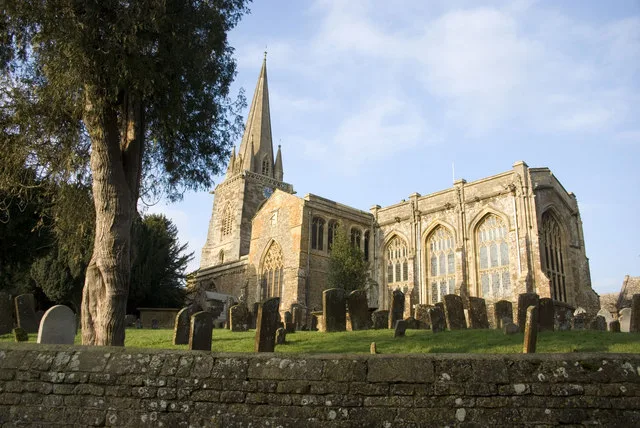
Werrington is a village in the Staffordshire Moorlands district of Staffordshire, England, about 5 miles (8 km) east of Stoke-on-Trent city centre. The village has a population of just over 3,000 people, sits at 875 feet (270 m) above sea level and is known for its windmill standing at the summit. It is surrounded by Wetley Moor, a Site of Special Scientific Interest, and has the A52 road running through the middle of the village. The village was first recorded on a map under the name of Wherington in 1749, shortly after the construction of the windmill. The windmill was in use for around 150 years, grinding corn and then coal towards the end of its working life. The village's population has grown more than tenfold since 1925, warranting its own parish council in 1988. Moorside High School and HM Prison Werrington sit within the village, as do a number of listed buildings and two churches.
Excerpt from Wikipedia under CC BY-SA 4.0. See the source article linked in Sources below.
Background
History
Werrington was first recorded on a 1749 map under the name Wherington, and it was not spelt as Werrington until 1890. The windmill at the top of the village is believed to have been constructed in 1730. It was described as "a powerful corn mill consisting of four pairs of mill stones and one flour machine" when advertised for sale in 1804. Werrington originally consisted primarily of the windmill and a small number of houses in the immediate vicinity. Rapid expansion began in 1925 to expand into Washerwall, parts of Wetley Common, Withystakes, Ash Bank, Armshead, Cellarhead, and some of Brookhouse Lane. In the 90 years since then the population increased from a few hundred to several…
Sourced from Wikipedia under CC BY-SA 4.0.
- Coordinates
- 53.0247, -2.0872
- County
- Staffordshire
- District
- Staffordshire Moorlands
- Parish
- Werrington
- Postcode
- ST9 0DU
- Parliamentary constituency
- Staffordshire Moorlands
- Population
- 5,571
- Nearest railway station
- Dilhorne Park — 3.8 km
- Official site
- www.stokesentinel.co.uk
Sources
- wikidata: Q674286 (CC0)
- wikipedia: Werrington, Staffordshire (CC BY-SA 4.0)
- commons: Windmill and telecommunications tower, Werrington 1.jpg (CC BY-SA 4.0)
Other places nearby
Loading nearby places…
Nearby
 📷 3
📷 3Windmills · West Midlands
Werrington Windmill
Werrington Windmill is a windmill in the United Kingdom.
 📷 3
📷 3Viewpoints · West Midlands
Highest Point on Wetley Common.
Highest Point on Wetley Common. is a viewpoint in the United Kingdom.
 📷 5
📷 5Mountains & hills · West Midlands
Overmoor
Overmoor — a hill or mountain in england west midlands.
 📷 5
📷 5Villages · West Midlands
Wetleyrocks
Wetleyrocks — a village in england west midlands.
Mountains & hills · West Midlands
Park Hall Hill
Park Hall Hill — a hill or mountain in england west midlands.
 📷 5
📷 5Natural landmarks · West Midlands
Discovery Academy
Discovery Academy — a school heritage in england-west-midlands, United Kingdom.
Where to eat & stay near Werrington
Places to stay
 📷 5
📷 5Campsites · West Midlands
Consall Scout Camp
Consall Scout Camp — a campsite in england west midlands.
 📷 5
📷 5Hotels · West Midlands
Hilton Garden Inn Stoke on Trent
Hilton Garden Inn Stoke on Trent — a hotel in england west midlands. 4-star. Brand: Hilton Garden Inn.
 📷 5
📷 5Hotels · West Midlands
North Stafford Hotel
North Stafford Hotel — a hotel in england west midlands.

Campsites · East Midlands
Hales Hall Camp Site
Hales Hall Camp Site — a campsite in england east midlands.
Caravan parks · East Midlands
Hales Hall Caravan Site
Hales Hall Caravan Site — a caravan park in england east midlands.
 📷 5
📷 5Hotels · West Midlands
Borough Arms Hotel
Borough Arms Hotel — a hotel in england west midlands.
Places to eat & drink
 📷 5
📷 5Historic pubs · North West England
Stafford Arms Public House And St Chad's House
Stafford Arms Public House And St Chad's House in England North West, United Kingdom.
 📷 5
📷 5Historic pubs · North West England
Leopard Public House
Leopard Public House in England North West, United Kingdom.
 📷 5
📷 5Historic pubs · West Midlands
The Wheatsheaf Hotel
The Wheatsheaf Hotel in England West Midlands, United Kingdom.
 📷 5
📷 5Historic pubs · North West England
The Old Greyhound Public House
The Old Greyhound Public House in England North West, United Kingdom.
 📷 5
📷 5Historic pubs · West Midlands
Black Horse Public House
Black Horse Public House in England West Midlands, United Kingdom.
 📷 3
📷 3Historic pubs · West Midlands
Duke William
Duke William — Historic pub — listed building or notable heritage status.
More towns in this region
 Flagship📷 3
Towns & cities · West Midlands
Adderbury
Adderbury — village and civil parish in Cherwell district, Oxfordshire, England.
 Flagship📷 3
Towns & cities · West Midlands
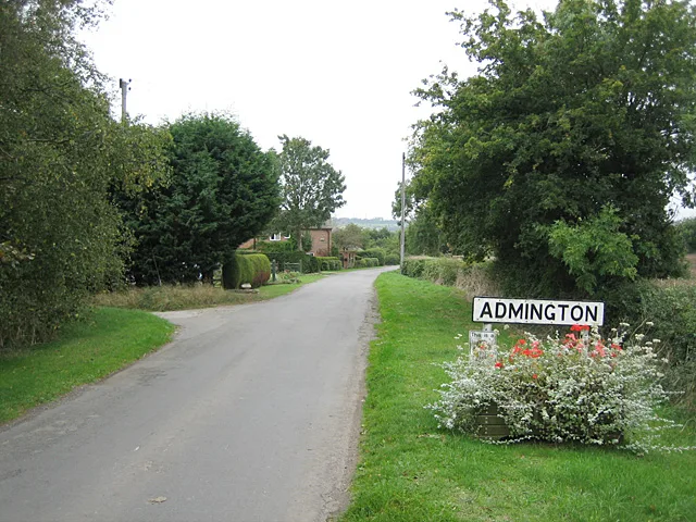
Admington
Admington — village in Warwickshire, England, UK.
 Flagship📷 3
Towns & cities · West Midlands
Aldington
Aldington — village in Worcestershire, United Kingdom.
 Flagship📷 5
Towns & cities · West Midlands
Anstey
Anstey — large village in Leicestershire, England.
Frequently asked questions
- Where is Werrington?
- Werrington is in Staffordshire, the West Midlands, United Kingdom (postcode ST9 0DU), in the parish of Werrington.
- What is Werrington?
- Werrington — village in Staffordshire, United Kingdom.
- How do I get to Werrington?
- The nearest railway station is Dilhorne Park, about 3.8 km away. Drivers can use postcode ST9 0DU.
- Is Werrington free to visit?
- Yes, Werrington is free to enter.
- How do I get to Werrington?
- The nearest railway station is Dilhorne Park, about 3.8 km away. Drivers can navigate to postcode ST9 0DU.