
Mountains & hills · Mid Wales
Waun Fach
In or near Longtown.
Waun Fach — Named summit at 811 m.

Wikimedia Commons contributors — see linked file page for photographer and licence licence

Plan your visit
- Typical visit
- 3 h–8 h
- Best time of year
- Late spring – early autumn (May–Oct)
- Free entry
- Dog-friendly
About
Waun Fach is a named summit in the United Kingdom. Wikidata describes it as: "Named summit at 811 m.". Coordinates: 51.9629°, -3.1433°.
Photo gallery
360° viewimagery from 2025
Imagery © Mapillary contributors, CC BY-SA 4.0
From the Wikipedia article
Waun Fach is, with a summit height of 811 metres (2,661 ft), the highest mountain in the Black Mountains in south-eastern Wales. It is one of the three Marilyns over 600 m that make up the range, the others being Black Mountain and Mynydd Troed. To the north Rhos Fawr and the Radnor Forest can be seen. It is the third highest mountain in Britain south of Snowdonia (after Pen y Fan and its near neighbour Corn Du). It is situated at the head of the Grwyne Fechan valley, above and to the west of the Grwyne Fawr reservoir. It has an undistinguished (and almost indistinguishable) rounded summit. The nearby tops on the ridge, Pen Trumau and Pen y Gadair Fawr, although lower, are very much more recognisable.
Excerpt from Wikipedia under CC BY-SA 4.0. See the source article linked in Sources below.
Background
Visiting
The hill is wholly within land mapped under the Countryside and Rights of Way Act 2000 as open country and hence is legally available to walkers despite there being no public rights of way leading to it. Mountain bikers and horseriders can follow the bridleways which lead to the 617m high col south of Pen Trumau but have no legal access to the hill itself. The paths approaching from the north and west have been repaired and improved by the Brecon Beacons National Park Authority, most recently through the Black Mountains Land Use Partnership in recent years, having previously become particularly damaged by use.
Sourced from Wikipedia under CC BY-SA 4.0.
- Coordinates
- 51.9629, -3.1433
- Address
- Black Mountains, South Wales
Sources
- osm: n299513005 (ODbL)
- wikipedia: Waun Fach (CC BY-SA 4.0)
- commons: Waunfach.JPG (CC BY-SA 4.0)
Other places nearby

Pen y Manllywn
Mountains & hills · 1.0 km

Black Mountains
National parks · 1.1 km

Pen Trumau
Mountains & hills · 1.3 km

Grwyne Fawr Reservoir
Reservoirs & lochs · 1.8 km
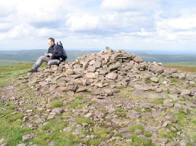
Pen Y Gadair Fawr
Mountains & hills · 1.9 km
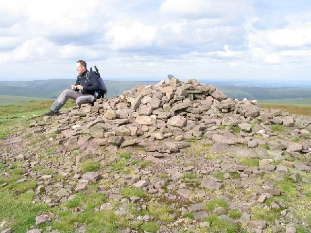
Pen y Gadair Fawr
Natural landmarks · 1.9 km

Pen y Gader Fawr
Vineyards · 1.9 km

Y Grib
Mountains & hills · 2.0 km
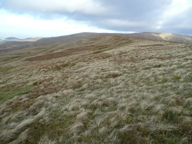
Mynydd Llysiau
Mountains & hills · 2.2 km
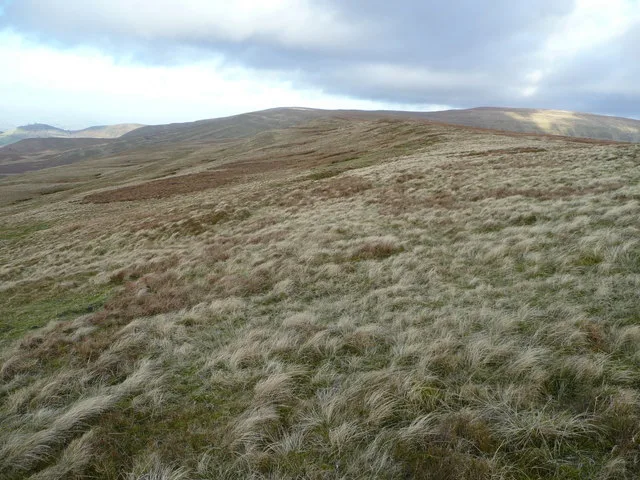
Mynydd Llysiau
Natural landmarks · 2.2 km

Pen y Gader-fawr
Mountains & hills · 2.3 km

Mynydd Bychan, Mound
Archaeological sites · 2.4 km
Nearby
📷 5Mountains & hills · Mid Wales
Pen y Manllywn
Pen y Manllywn — mountain in wales south. Elevation: 775 m.
📷 4📷 5📷 3Reservoirs & lochs · Mid Wales
Grwyne Fawr Reservoir
Grwyne Fawr Reservoir is a reservoir in the United Kingdom.
📷 3📷 3Where to eat & stay near Waun Fach
Places to stay
 📷 5
📷 5Campsites · Mid Wales
Grange Pony Trekking
Grange Pony Trekking — a campsite in wales south.
 📷 4
📷 4Campsites · Mid Wales
Newcourt Farm Campsite
Newcourt Farm Campsite — a campsite in wales mid.
 📷 5
📷 5 📷 7
📷 7B&Bs · Mid Wales
The New Gurkha Inn
The New Gurkha Inn — a bed-and-breakfast in wales south. Cuisine: nepalese;curry;grill.
 📷 5
📷 5 📷 5
📷 5Places to eat & drink
 📷 4
📷 4 📷 7
📷 7 📷 5
📷 5Historic pubs · South Wales
Cornewall Arms
Cornewall Arms in Wales South, United Kingdom.
 📷 5
📷 5Historic pubs · South Wales
White Hart
White Hart — Historic pub — listed building or notable heritage status.
 📷 5
📷 5Historic pubs · South Wales
Skirrid Mountain Inn
Skirrid Mountain Inn — Historic pub — listed building or notable heritage status.
 📷 7
📷 7More mountains in this region
 📷 3
📷 3 📷 3
📷 3 📷 3
📷 3 📷 3
📷 3Frequently asked questions
- Where is Waun Fach?
- Waun Fach is in South Wales, United Kingdom.
- What is Waun Fach?
- Waun Fach — Named summit at 811 m.
- How do I get to Waun Fach?
- Its coordinates are 51.9629°, -3.1433°.
- Is Waun Fach free to visit?
- Yes, Waun Fach is free to enter.