
Archaeological sites · London
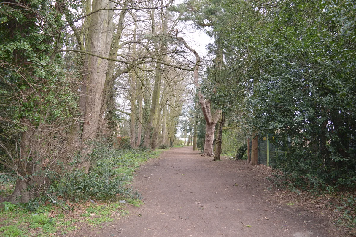
Watling Chase Community Forest
In or near Radlett.
Watling Chase Community Forest — forest in London and Hertfordshire, England.

Wikimedia Commons licence
Plan your visit
- Typical visit
- 45 min–1.5 h
- Nearest railway station
- Radlett · 2.5 km
- Free entry
- Dog-friendly
Getting there & planning your visit
To visit Watling Chase Community Forest, the nearest railway station is Radlett, located 2.5 km away. The postcode for sat-nav is WD7 9LP, and entry to the site is free.
About
Watling Chase Community Forest is an archaeological site in the United Kingdom. Wikidata describes it as: "forest in London and Hertfordshire, England". Coordinates: 51.6940°, -0.2840°.
Photo gallery
From the Wikipedia article
Watling Chase Community Forest is an area of 72 square miles located in north London and south Hertfordshire around the towns of Potters Bar, Radlett, Borehamwood and Barnet. It includes Aldenham Country Park, Scratchwood, Moat Mount Open Space and the Watling Chase Timberland Trail, a waymarked walk of 16 kilometres. It was set up in 1991 and is one of twelve community forests in England set up to regenerate the countryside in and around urban areas. They are sponsored by Natural England and the Forestry Commission which work with local authorities and voluntary bodies to manage them.
Excerpt from Wikipedia under CC BY-SA 4.0. See the source article linked in Sources below.
- Coordinates
- 51.6940, -0.2840
- County
- Hertfordshire
- District
- Hertsmere
- Parish
- Shenley
- Postcode
- WD7 9LP
- Parliamentary constituency
- Hertsmere
- Nearest railway station
- Radlett — 2.5 km
Sources
- wikidata: Q7974733 (CC0)
- wikipedia: Watling Chase Community Forest (CC BY-SA 4.0)
Other places nearby

The Cage or ‘Lock-Up’
Natural landmarks · 0.2 km
.jpg?width=1200)
Shenley War Memorial
Memorials & monuments · 0.3 km

Shenley
Villages · 0.4 km

Walled Garden Amphitheatre
Theatres · 0.8 km
Coal tax post
Memorials & monuments · 1.2 km

Manor Lodge School
Manor houses · 2.0 km

De Havilland Aircraft Museum
Museums · 2.0 km

Cial tax post
Memorials & monuments · 2.1 km

Bridge, Gateposts, And Revetment To Moat
Historic bridges · 2.1 km

All Saints Pastoral Centre
Chapels · 2.3 km

Radlett Memorial Cross
Memorials & monuments · 2.5 km

Radlett Cinema
Theatres · 2.5 km
Nearby
📷 5Natural landmarks · London
The Cage or ‘Lock-Up’
The Cage or ‘Lock-Up’ — a other in england-london, United Kingdom.
📷 5Memorials & monuments · London
Shenley War Memorial
Shenley War Memorial is a memorial in the United Kingdom.
📷 5📷 5Theatres · London
Walled Garden Amphitheatre
Walled Garden Amphitheatre is a theatre in the United Kingdom.
📷 5Manor houses · London
Manor Lodge School
Manor Lodge School — a school heritage in england-london, United Kingdom.
Where to eat & stay near Watling Chase Community Forest
Places to stay
 📷 5
📷 5 📷 5
📷 5 📷 5
📷 5Caravan parks · London
The Mimms Caravan Park
The Mimms Caravan Park — a caravan park in england london.
 📷 7
📷 7Hotels · London
DoubleTree by Hilton London Elstree
DoubleTree by Hilton London Elstree — a hotel in england london. 4-star. Brand: DoubleTree.
 📷 5
📷 5 📷 5
📷 5Campsites · London
Home Farm Glamping
Home Farm Glamping — a campsite in england london.
Places to eat & drink
 📷 5
📷 5Historic pubs · London
The Cat And Fiddle Public House
The Cat And Fiddle Public House in England London, United Kingdom.
 📷 5
📷 5Historic pubs · East of England
The Black Horse Public House
The Black Horse Public House in England East, United Kingdom.
 📷 5
📷 5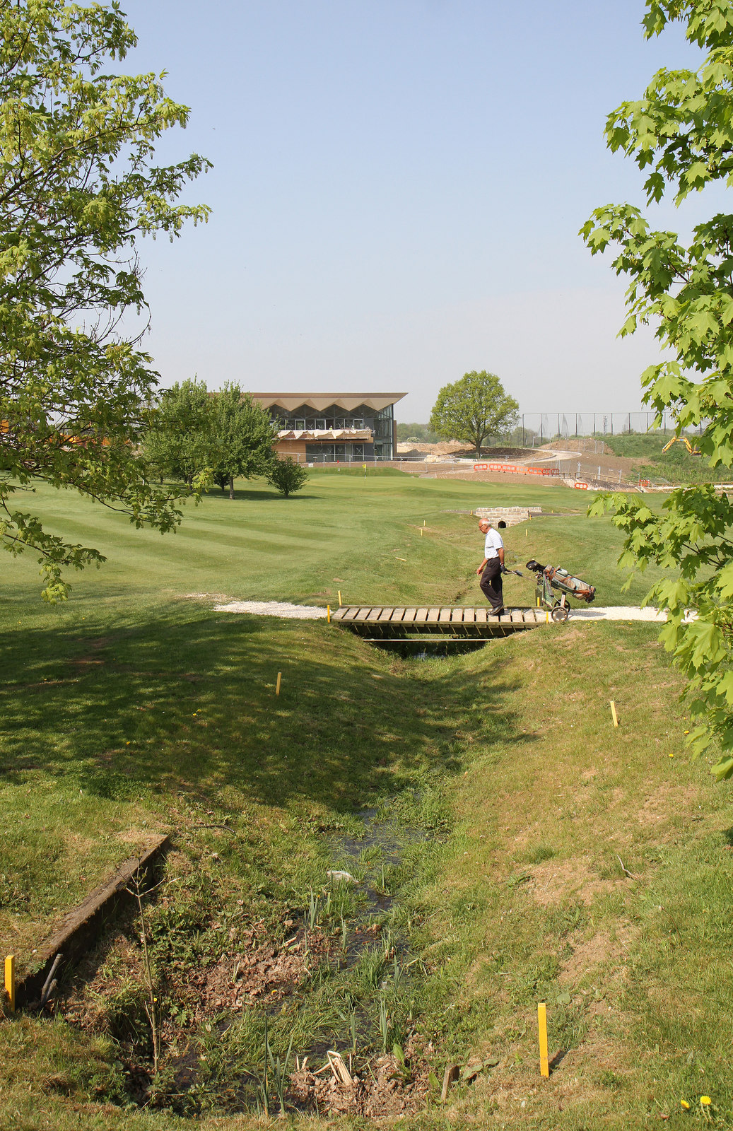 📷 5
📷 5Historic pubs · London
The Waggon And Horses Public House
The Waggon And Horses Public House in England London, United Kingdom.
📷 5 📷 5
📷 5Historic pubs · London
The Green Dragon Public House
The Green Dragon Public House in England London, United Kingdom.
More archaeological sites in this region
 Flagship📷 10
Archaeological sites · London
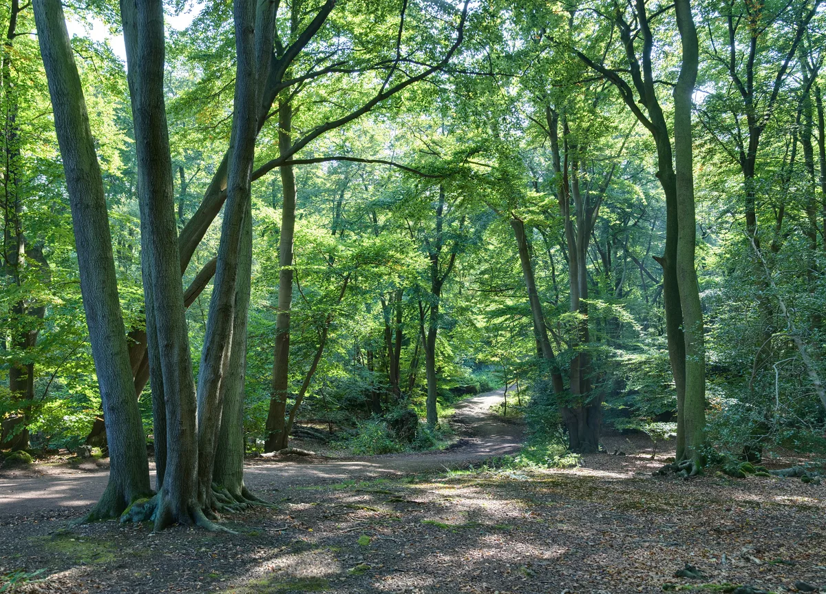
Epping Forest
Epping Forest — royal forest in England.
 Flagship📷 10
 📷 5
📷 5Archaeological sites · London
A preceptory of the Knights Hospitallers, known as St John's Jerusalem, and an associated fishpond at Sutton-at-Hone
A preceptory of the Knights Hospitallers, known as St John's Jerusalem, and an associated fishpond at Sutton-at-Hone — archaeological site in Sutton-at-Hone and Hawley, Dartford, England, UK.
 📷 5
📷 5Archaeological sites · London
Albans Wood
Albans Wood — Nature reserve in Hertfordshire, England.
Frequently asked questions
- Where is Watling Chase Community Forest?
- Watling Chase Community Forest is in Hertfordshire, London, United Kingdom (postcode WD7 9LP), in the parish of Shenley.
- What is Watling Chase Community Forest?
- Watling Chase Community Forest — forest in London and Hertfordshire, England.
- How do I get to Watling Chase Community Forest?
- The nearest railway station is Radlett, about 2.5 km away. The nearest town is Radlett. Drivers can use postcode WD7 9LP.
- Is Watling Chase Community Forest free to visit?
- Yes, Watling Chase Community Forest is free to enter.
- How do I get to Watling Chase Community Forest?
- The nearest railway station is Radlett, about 2.5 km away. Drivers can navigate to postcode WD7 9LP.