Mountains & hills · South East England
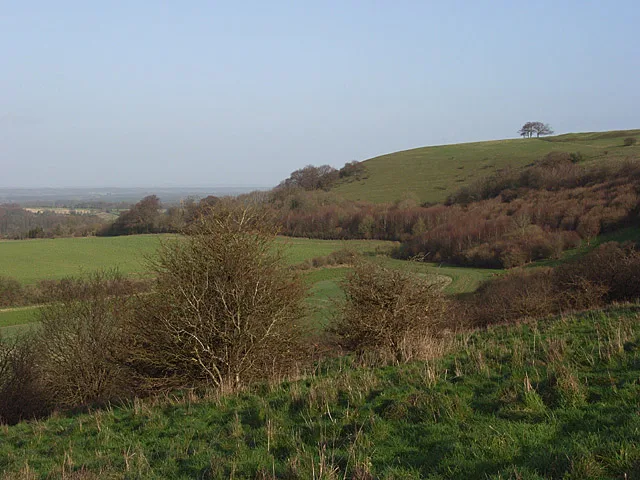
Watership Down
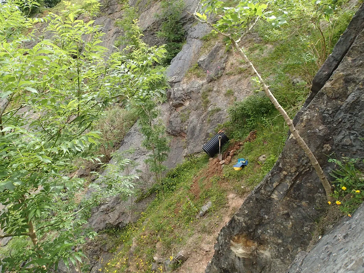
Watership Down — Named summit at 237 m.

Wikimedia Commons contributors — see linked file page for photographer and licence licence
Plan your visit
- Typical visit
- 3 h–8 h
- Best time of year
- Late spring – early autumn (May–Oct)
- Nearest railway station
- Overton · 6.4 km
- Free entry
- Dog-friendly
About
Watership Down is a named summit in the United Kingdom. Wikidata describes it as: "Named summit at 237 m.". Coordinates: 51.3082°, -1.2910°.
Photo gallery
Protected designations
- Area of Outstanding Natural Beauty: North Wessex Downs
Designations sourced from Natural England open data under OGL v3.
From the Wikipedia article
Watership Down is a hill or a down at Ecchinswell in the civil parish of Ecchinswell, Sydmonton and Bishops Green in the English county of Hampshire, as part of the Hampshire Downs. It rises fairly steeply on its northern flank (the scarp side), but to the south the slope is much gentler (the dip side). The summit is 778 ft (237 m) above sea level, one of the highest points in Hampshire. The down is best known as the setting for Richard Adams's 1972 novel about rabbits, also called Watership Down. Atop Watership Down, which is exposed and windswept, lies a beech tree planted in memory of Richard Adams. The area is popular with cyclists and walkers. A bridleway, the Wayfarer's Walk cross-county footpath, runs along the ridge of the down which lies at the south-eastern edge of the North Wessex Downs Area of Natural Beauty. Other nearby features include Ladle Hill, on Great Litchfield Down, immediately to the west. Part of the hill is a 10.37-hectare (25.6-acre) biological Site of Special Scientific Interest, first notified in 1978. The hill has a partially completed Iron Age hill fort on its summit, and the surrounding area is rich in Iron Age tumuli, enclosures, lynchets and field systems. Further to the west lies Beacon Hill. Watership Down is accessible via the large village of Kingsclere. Watership Down Stud is a horse-breeding establishment owned by Andrew Lloyd Webber and his wife Madeleine Gurdon, a former eventer, who live nearby at Sydmonton Court.
Excerpt from Wikipedia under CC BY-SA 4.0. See the source article linked in Sources below.
- Coordinates
- 51.3082, -1.2910
- County
- Hampshire
- District
- Basingstoke and Deane
- Parish
- Ecchinswell, Sydmonton and Bishops Green
- Postcode
- RG20 9NL
- Parliamentary constituency
- North West Hampshire
- Nearest railway station
- Overton — 6.4 km
Sources
- osm: n3669800929 (ODbL)
- wikipedia: Watership Down, Hampshire (CC BY-SA 4.0)
- commons: Watership from northeast.jpg (CC BY-SA 4.0)
Other places nearby
Loading nearby places…
Nearby
 📷 5
📷 5Gardens · South East England
Sydmonton Court
Sydmonton Court — a garden in england-south-east, United Kingdom.
Archaeological sites · South East England
Ladle Hill Iron Age Fort
Ladle Hill Iron Age Fort — a archaeological in england-south-east, United Kingdom.
Vineyards · South East England
An unfinished hillfort, a saucer barrow, a disc barrow and sections of two linear earthworks on Ladle Hill
An unfinished hillfort, a saucer barrow, a disc barrow and sections of two linear earthworks on Ladle Hill — a UK vineyard in england south east, producing English or Welsh wine from cool-climate grape varieties.
 📷 5
📷 5Mountains & hills · South East England
Ladle Hill
Ladle Hill — Named summit at 232 m.
 📷 5
📷 5Archaeological sites · South East England
Rectangular Earthwork
Rectangular Earthwork — a archaeological in england-south-east, United Kingdom.
📷 5Archaeological sites · South East England
Rectangular Enclosure
Rectangular Enclosure — a archaeological in england-south-east, United Kingdom.
More mountains in this region
 📷 5
📷 5Mountains & hills · South East England
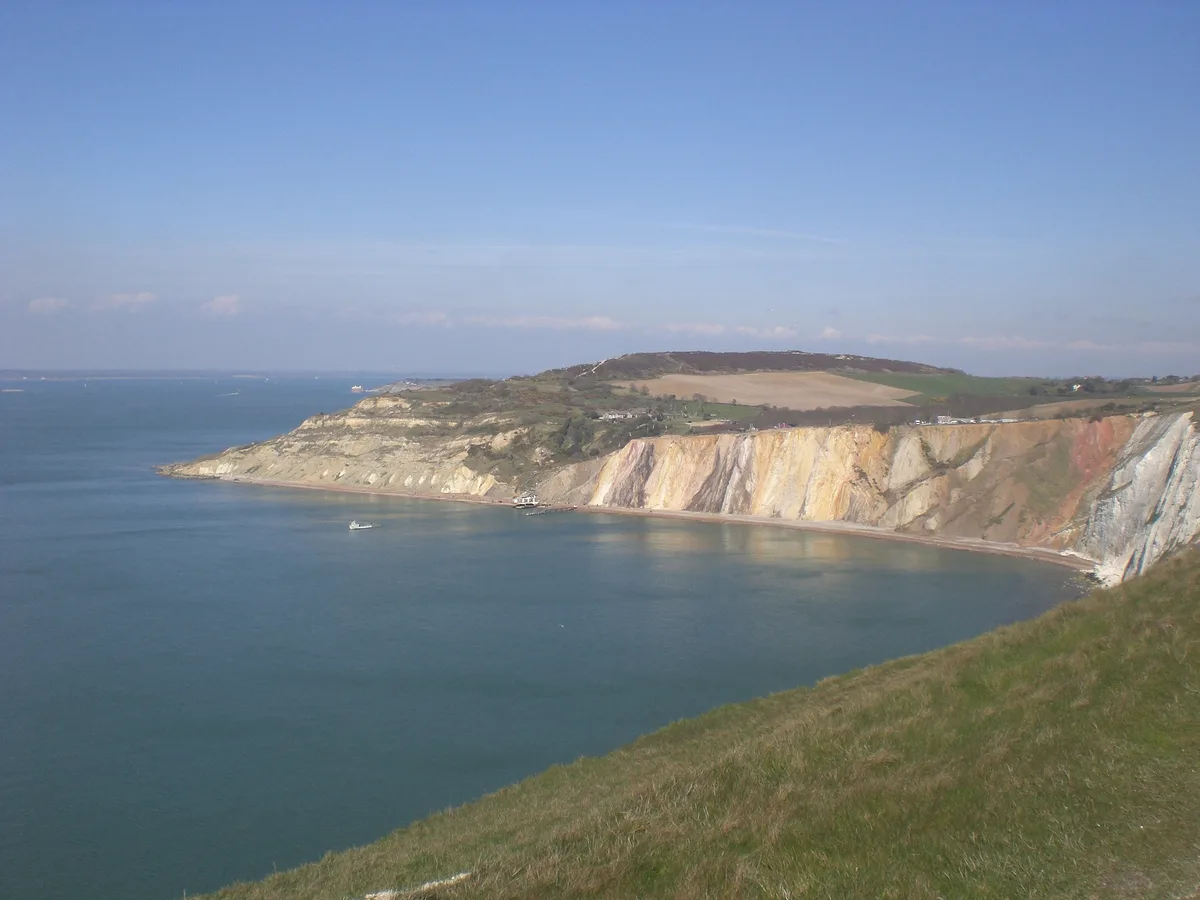
Alum Bay
Alum Bay is a mountain or hill in the United Kingdom.
 📷 5
📷 5Mountains & hills · South East England
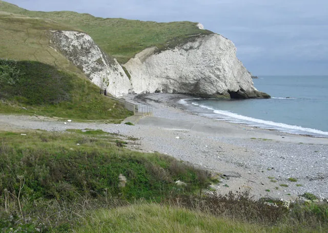
Arish Mell
Arish Mell — bay in Dorset, England.
 📷 5
📷 5Mountains & hills · South East England
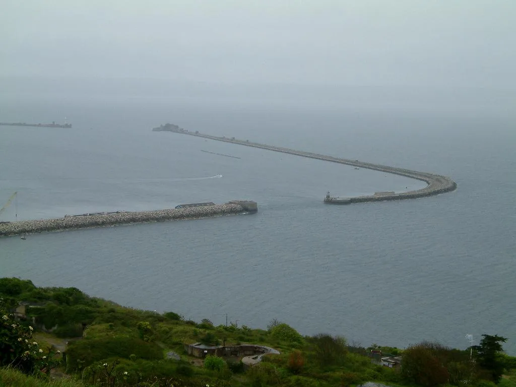
Balaclava Bay
Balaclava Bay — bay in Dorset, England.
 📷 5
📷 5Mountains & hills · South East England
Balch Cave
Balch Cave — Cave in Somerset, England.
Frequently asked questions
- Where is Watership Down?
- Watership Down is in Hampshire, South-East England, United Kingdom (postcode RG20 9NL), in the parish of Ecchinswell, Sydmonton and Bishops Green.
- Is Watership Down a protected site?
- Yes — Watership Down is part of the North Wessex Downs National Landscape (AONB).
- Is Watership Down free to visit?
- Yes, Watership Down is free to enter.
- How do I get to Watership Down?
- The nearest railway station is Overton, about 6.4 km away. Drivers can navigate to postcode RG20 9NL.